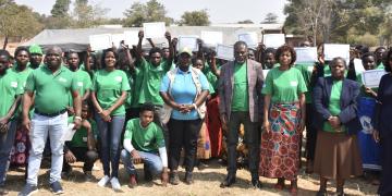
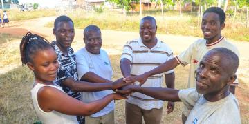
Identification of a Suitable Community-Based Organization (ALOCA)
Organization of Community Meetings with Landowners (Local Barazas)
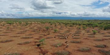
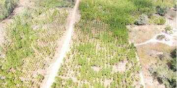
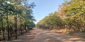
Agreement on Designating and Demarcating Restoration Sites
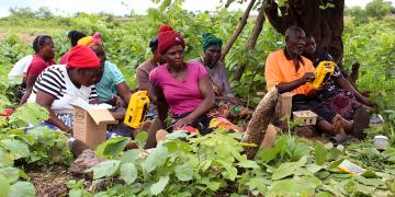
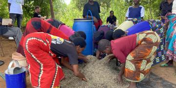
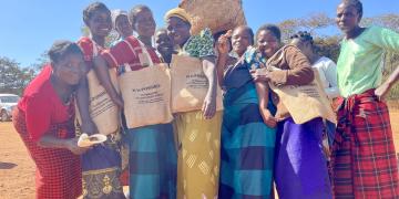
Raising Awareness on Restoration and Livelihood Opportunities for Maasai Women and Youth
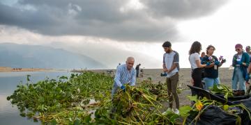
Monitoring and Reporting on Restoration Progress