A Thematic Atlas of Nature’s Benefits to Dar es Salaam: Critical reasons for greening the city and for keeping urban and peri-urban ecosystems intact
Solution instantanée

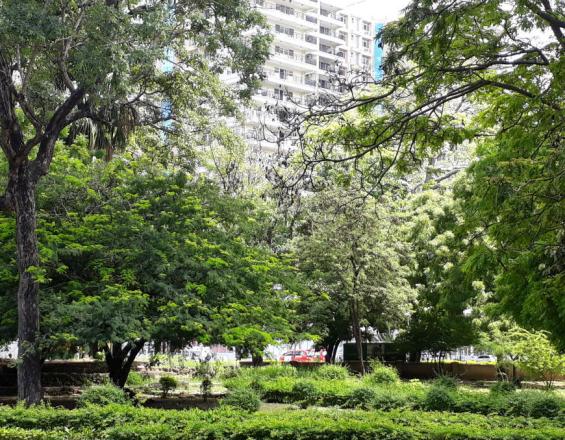
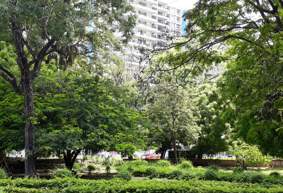
An urban jungle in Tanzania- Sites like these are mapped and evaluated using "natural asset mapping"
Ernita Van Wyk, ICLEI
Tanzania is a fast urbanising society. At the same time, urban residents are reliant on nature. Peri-urban agriculture, artisanal fishing and nature-based tourism support thousands of livelihoods. Dar Es Salaam is also located in a globally important biodiversity hotspot, the ‘East African Coastal Forest’. Dar es Salaam has a long history of greening but the spatial allocation of greening funds have not been strategic. Based on this need, ‘A Thematic Atlas of Nature’s Benefits to Dar es Salaam’ was co-developed with a wide range of stakeholders. The Atlas was based on ecosystem services thinking and each of seven ‘themes’ in The Atlas represents an urban challenge, such as rising urban heat or flooding. Descriptive information about nature’s benefits in Dar es Salaam and the maps were packaged as an easy-to-read report and which is downloadable for free. The information and maps in the Atlas facilitate evidence-based decisions on where to invest in greening to achieve social outcomes.
Dernière modification 15 Oct 2020
3480 Vues
Galerie de photos et de vidéos

Contexte
Challenges addressed
Emplacement
Dar es Salaam, Dar es Salaam, Tanzania
East and South Africa
Impacts
The Atlas provides a logical and spatially explicit basis for prioritising the city’s investment in green open space. With this approach, the City can build a rationale for the selection of sites for greening investments to achieve the multiple benefits that relate to societal well-being, protected and enhanced economies and the reduction of urban risks such as heat islands.
Preliminary impacts:
- The Dar es Salaam City Council used the city heat map from the Atlas in various climate change related presentations;
- The World Bank in Dar es Salaam is using some of the Atlas map layers in their in-house training programmes on urban greening;
- The Atlas stimulated the idea among stakeholders to establish a cross-sectoral forum to discuss and coordinate greening efforts in the City;
- The Atlas was used to identify priority sites for practical demonstration projects to be implemented as part of the INTERACT-Bio project;
- Recommendations from the Thematic Atlas led to the allocation of project funds to develop a biodiversity catalogue for Dar es Salaam; and
- The Atlas information provided complementary knowledge and maps to the Ilala Municipality (in Dar es Salaam) Local Biodiversity Strategy and Action Plan.