
GIS and Remote Sensing Technology for improved pasture management
Full Solution
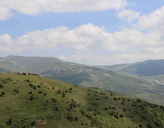
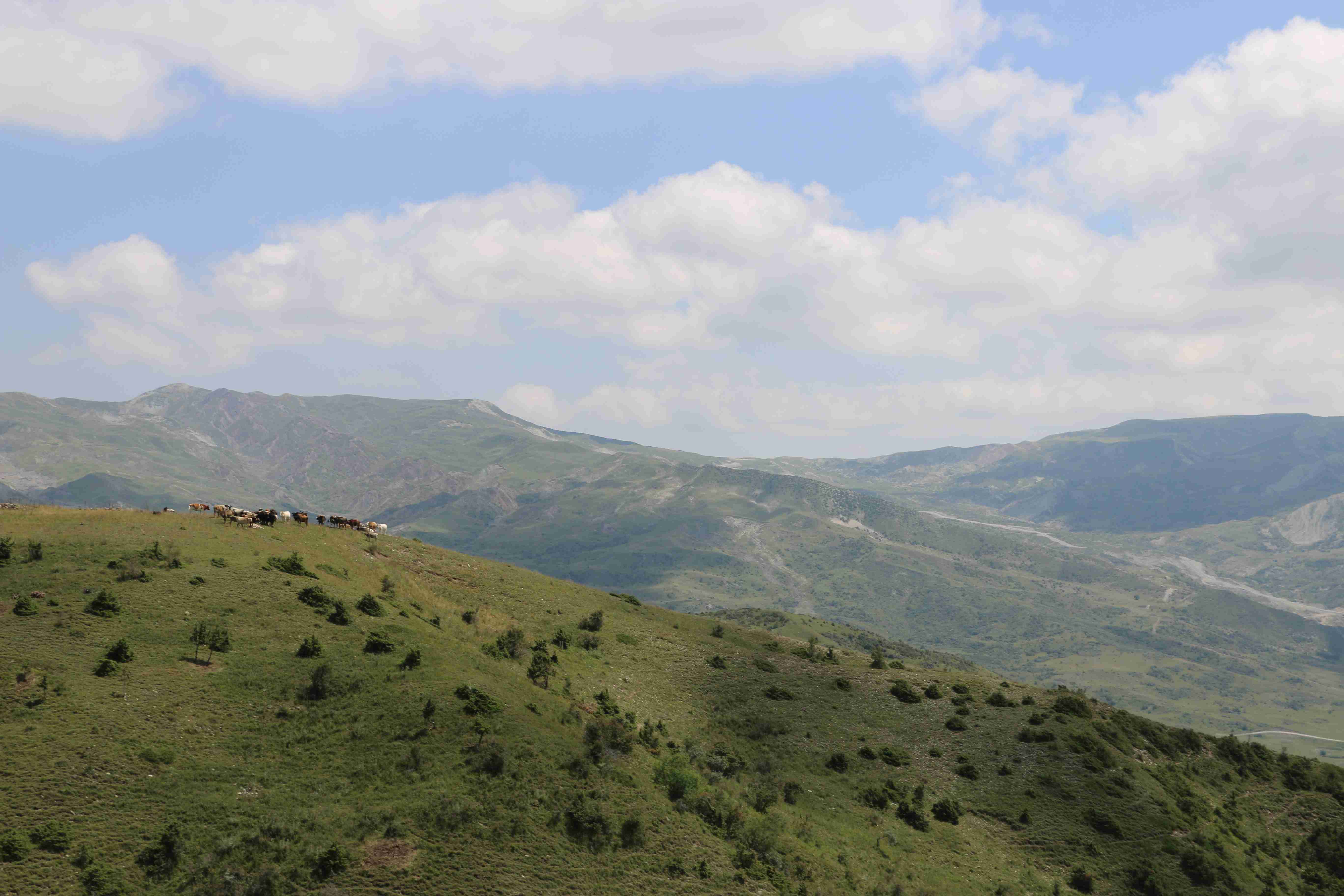
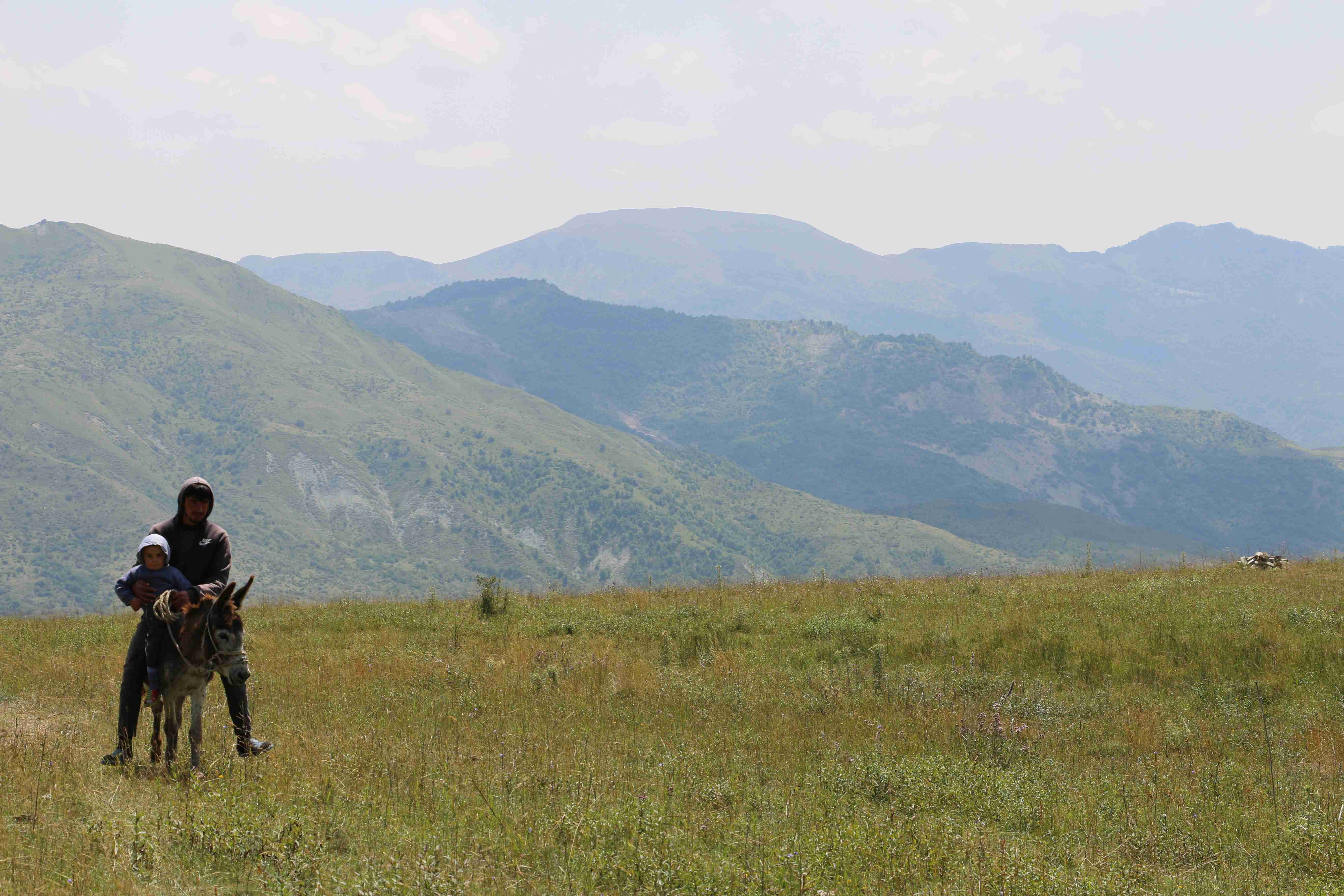
pastures in Ismayilli, Azerbaijan
GIZ Azerbaijan
The Monitoring Manual for Summer and Winter Pastures (Etzold & Neudert 2013; Etzold et al. 2015) in the Greater Caucasus introduces a simple practical pasture assessment and monitoring tool for resource managers. Combined with basic socio-economic information (number of livestock, herding organization, grazing management) comprehensive recommendations for sustainable pasture management can be derived to maintain and enhance the condition of pastures in the future. The approach can be adapted to various ecological and socio-economic settings and was applied in all three South Caucasian countries, e.g. AM (Sisian, Gorayk), AZ (Ismayilli, Saatli, Gakh), GE (PA of Borjomi-Kharagauli, Lagodekhi, Tusheti and Vashlovani). Initially developed as a simple physical assessment approach a combination with remote sensing and GIS technology improves the overall assessment, in particular through more accurate data and assessment opportunities.
Last update: 01 Jun 2023
1722 Views
Photo and video gallery
Context
Challenges addressed
- Sectoral silos: responsibilities and mandate for management of pastures and grasslands not clearly defined – distributed among various sectors and ministries
- Degradation of grasslands and pastures through inadequate use (under- and overuse) - this causes decreases in productivity (fodder production) as well as loss of biodiversity
- Competing land use, lack of information and reliable data on land use
- Different ministries, private people, and companies are competing the same land resources. As pastures often are not entirely monitored by only one ministry, the lack of information is either/ or an advantage for the one ministry and a disadvantage for the other. Establishing a pasture platform under which all pastures will be monitored could guarantee a better pasture management, more sustainable land
- Pasture lease often only on short-term base which hinders long-time management practices
- Access to up-to-date data on pasture areas missing, e.g. boundaries/ cadastral information, biomass, livestock
Location
Ismayilli, Azerbaijan
Syunik, Armenia
Akhmeta, Kakheti, Georgia
North and Central Asia
West Asia, Middle East
East Europe
Process
Summary of the process
-
Joint and cross-sectoral identification of data, information and mapping needs
-
Mapping of pastures and grasslands including biomass, quality and carrying capacity
-
Joint definition of different roles and responsibilities of partners (communities, ministries, etc.) involved in management and monitoring of pastures.. at regional and national level
-
Setting priorities on the way forward and monitoring
Building Blocks
GIS and Remote Sensing for mapping pasture areas
Maintaining pastures as a natural resource is easily to been done by the application of GIS and remote sensing tools to develop accurate classification maps, e.g. pastures, hay meadows, grassland. The combination of digital data and spatial technology enables detailed and useful monitoring of aboveground green vegetation biomass and grassland composition. Besides, resources and attributes can be monitored for knowledge management and long-term decision planning.
Enabling factors
-
Mapping of pasture/ grassland ecosystem services and understanding of its contribution to human well-being
-
Facilitate regular monitoring at the management level
-
Short-term study of the positive and negative effects on pasture or grassland areas
-
Existence of relevant legal bases and close involvement of relevant bodies in the planning process
Lesson learned
-
All factors that may affect pastures should be identified as spatial data
-
Mapping and monitoring changes in grassland vegetation cover is essential to understand grasslands dynamics
-
Reliable monitoring of changes in vegetation cover in grasslands is crucial for accurate and sustainable land management
-
Gathering more field/ ground truthing data was one of the important notes
-
It is vital to test and demonstrate different geospatial analyses to showcase what measures have the most impact on which erosion/degredadion situations and foster understanding for the solutions.
Coordination Platform for Sustainable Pasture Management
A Pasture Coordination Platform was organized in Armenia as a horizontal management network among relevant stakeholders on national and sub-national level. Each party is represented by a spokesperson, who coordinates the functions of the party within the Platform and ensures information flow. A secretariat ensures the operation of the Platform. The rationale for creation of the Platform was the need to promote effective cooperation, exchange of information, as well as coordination of activities among the projects implemented in Armenia, focusing on sustainable management of natural fodder areas.
Since 2018 the Platform has evolved and now more than 10 organizations, institutions, projects and public administration bodies are involved in the Platform’s activities, aiming to ensure viability of programs and investments in the area of animal farming, increase economic opportunities of communities and support income growth of rural residents in Armenia. Key objectives of the Coordination Platform are:
- Coordination, exchange of information exchange and experience, identification of potential cooperation areas
- Implementation of joint projects, activities
- Advocating and supporting development of relevant state policy and legislation promoting sustainable use and management of natural fodder areas
Enabling factors
-
The platform has a clear aim: "to improve the situation/ livelihood of the rural population which depends on natural fodder areas while sustainably using and conserving these natural ecosystems”.
-
The need for coordination, cooperation and exchange was felt by parties both from government as well as non-government organizations.
-
A memorandum was officially signed to establish the platform.
-
All members have clearly distinguished functions.
Lesson learned
-
Active participation of the community stakeholders in decision making and coordination of the local projects was crucial. Placing the local working groups in charge of the local implementation not only generated a high level of ownership of the project and ensured the engagement of the community.
-
The coordination with other development organizations on the local scale was a key factor. The harmonization of these different local interventions resulted in a comprehensive, positive change for the communities. Each intervention was complimented by the others and would not have achieved the same results as an isolated activity.
-
Based on the memorandum of understanding, the common interest and need of all stakeholders in the platform to cooperate increased their commitment and ensured the continuity of the process.
-
Multi stakeholder advisory bodies face high risks from unforeseen changes in governmental institutions or even within their own parties. The meticulous documentation of agreements and activities has proven to be an important measure for dealing with this risk.
Impacts
The approach can be used by different people, all with a different intent: management authorities and NGOs for natural resource management, state of the art surveys re. natural condition, decision making and strategies; pasture owners/ leaseholders for pasture management; communities/ municipalities for pasture conditions and knowledge management. In general GIS and Remote Sensing Technology for improved pasture management...
- Provide a convenient basis for detailed monitoring of pastures by the relevant management authorities
- Awareness and knowledge on sustainable pasture management have been improved among communities and public administration of partner regions
- Strategies and national policy are jointly developed and enriched by experienciees gained at the local level
- The combination of both approaches enables the usage for well-defined, smaller areas, such as traditional use zones of national parks with clear pasture boundaries, village pastures or protected landscapes as well as larger scale pastures for entire municipalities
- In the three countries of the South Caucasus, environmental data on over 11800 km² of pastureland has been developed as a basis for sustainable management practices
Beneficiaries
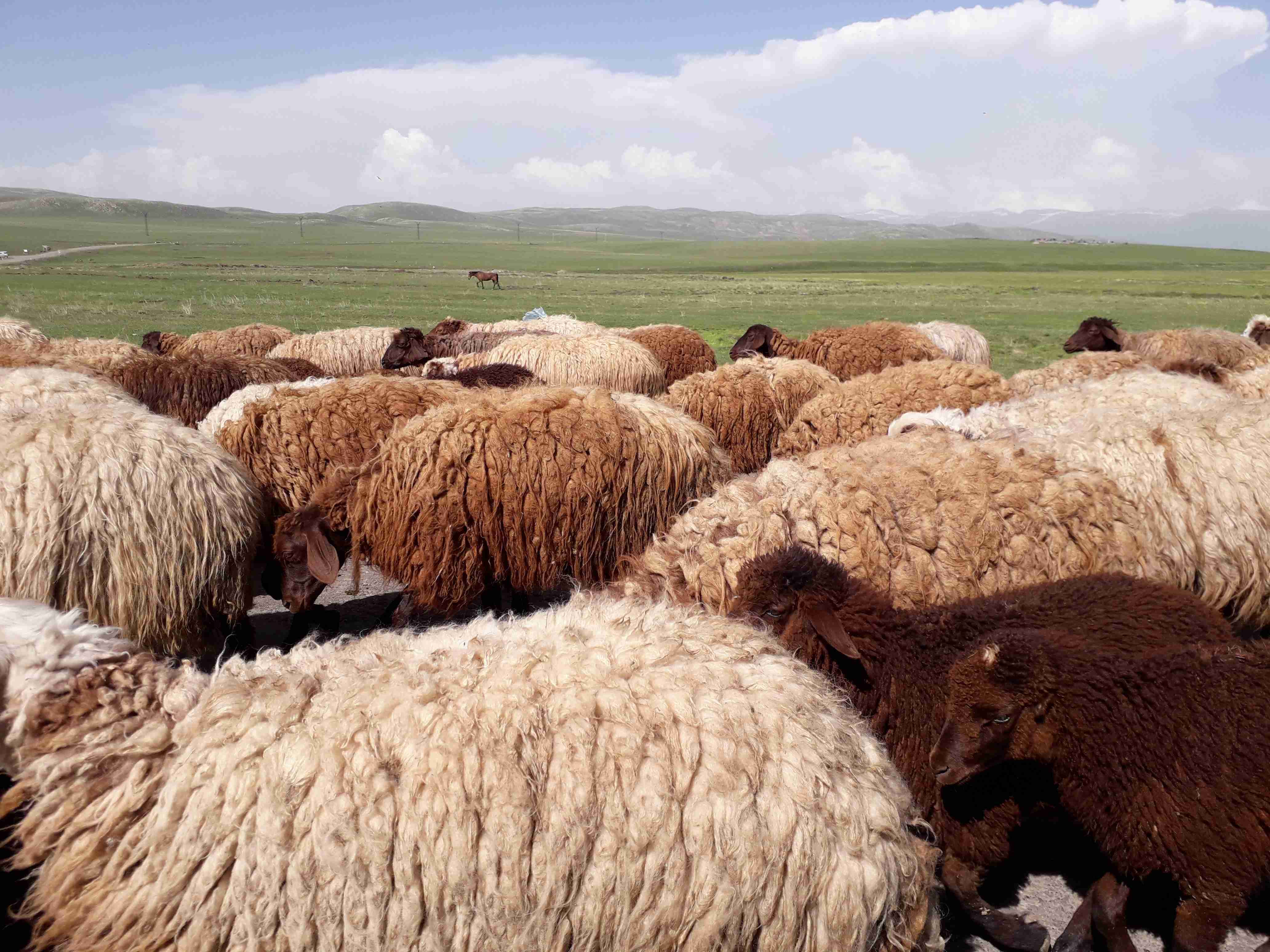
- Local communities and pastoralists documenting their livestock
- AZ: 700 shepherds 300.000 sheep
- GE: 66 shepherds 62.000 sheep, 4.200 cattle, 700 horses
- Community / local administration at PA level
- Decision-makers at national level (e.g. sector policies)
Connect with contributors

Other contributors
Lisa Hoentzsch
Deutsche Gesellschaft für Internationale Zusammenarbeit (GIZ) GmbH
Tobias Wittmann
Deutsche Gesellschaft für Internationale Zusammenarbeit (GIZ) GmbH
Natia Kobakhidze
Deutsche Gesellschaft für Internationale Zusammenarbeit (GIZ) GmbH