Strengthening Capacities in Coastal Spatial Planning
Full Solution
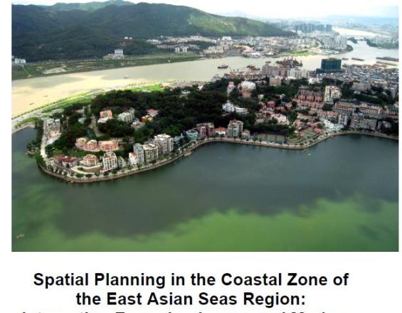
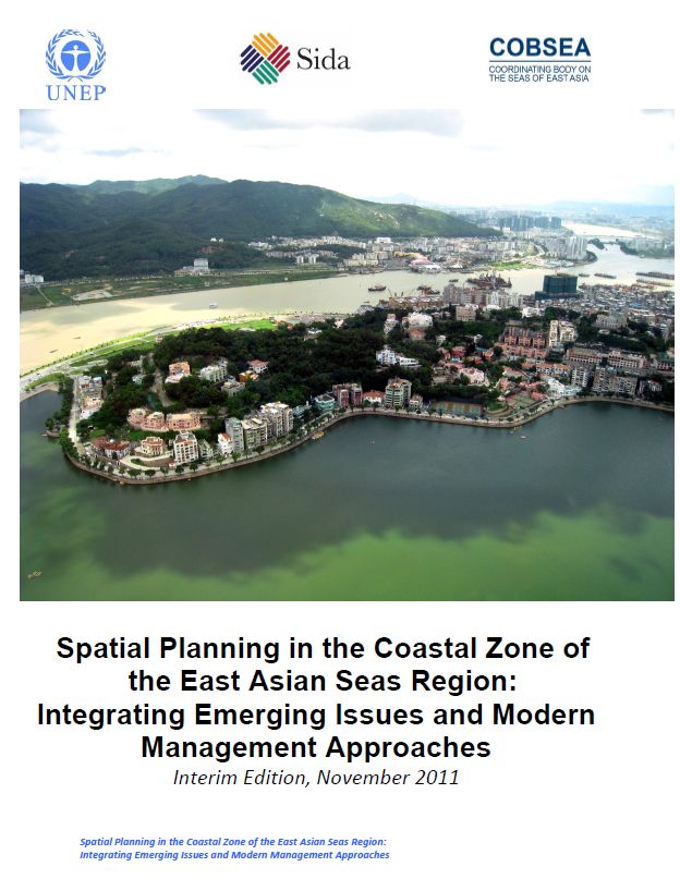
Spatial Planning Report (© COBSEA)
The solution aims at sustainable development in coastal areas of the East Asian Seas region by reducing and preventing impacts of natural disasters, climate change and sea level rise. It provides references and capacity building for national and local authorities in coastal and marine spatial planning. National adaptation activities and best practices for capacity building and field application tailored to needs and priorities of each country are provided.
Last update: 28 Mar 2019
7541 Views
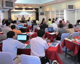
Photo and video gallery
Context
Challenges addressed
Impacts of climate change and sea level rise amplify the vulnerability of coastal ecosystems and communities. National and local coastal zone spatial planning processes must integrate challenges and emerging concepts of climate change, sea level rise, disaster risk reduction and ecosystem-based management. Local and national authorities need capacity building to master these new responsibilities.
Location
Asia
Southeast Asia
Process
Summary of the process
The regional resource document (Building block 1) for coastal spatial planning lays the groundwork for the development of national resource documents (Building block 2) and outlines needs of capacity building of national and local authorities (Building block 3) for so doing. Capacity building measures (building block 3) go hand in hand with the development of national resource documents (Building block 2. They also foster coordination, cooperation, cross-learning and promotion of best practices amongst stakeholders at all relevant levels. Continuous support and commitment from all relevant partners, awareness and recognition of threats and consequently needs to improve coastal and marine spatial planning at national and local levels are key factors for each building block. In addition to these key factors, national adoption of resource documents - be they regional or national - and capacity building instruments are pertinent to successfully accomplish the solution.
Building Blocks
Regional Resource Document
The regional resource document (RRD) for coastal spatial planning describes management approaches in existing spatial planning systems, and outlines the application of the general spatial planning process at different scales, administrative levels and degree of complexity. References of methods, tools and information sources are provided. The user can navigate progressively through the various sequential steps, or skip to sections relevant to his needs.
Enabling factors
Conditions for adoption elsewhere:
- Full support and commitment from national governments and authorities of each participating country for coastal and marine spatial planning
Lesson learned
Coastal and marine spatial planning (CMSP) is multi-sectoral and interdisciplinary and consequently requires commitment and cooperation of various ministries and authorities at different governmental levels. To bringing all stakeholders together for discussing and agreeing on related matters is a challenge that can be successfully addressed through national consultations and trainings. These measures also encourage cross-learning and team building; it enhances cooperation, coordination and dialogue between and among themselves. Continuous support and cooperation of national authorities clears the way forward.
National Resource Document
National resource documents help local planners, researchers, students, and national authorities with information on coastal spatial planning in the country. In local language it provides material on legal, administrative and institutional aspects, references to case studies, projects having applied coastal spatial planning, and examples of integrating disaster risk reduction, climate change, ecosystem-based management, etc. into national settings.
Enabling factors
Conditions for adoption elsewhere:
- Commitment and support from national authorities and other stakeholders
- Dialogue, participation and integration of all stakeholders’ needs
Lesson learned
The participatory integration of all stakeholders is crucial to developing tailor-made national resource documents that efficiently correspond to capacities, priorities and needs.
Resources
Capacity Building
Regional and national training tailored to needs and priorities builds national and local authorities’ capacity for integrating issues and approaches into their national planning processes. Use and provide training manuals and materials developed by international and national experts for teaching, interaction, group exercises, discussions and field trips. Ensure compliance with regional and national resource documents on coastal spatial planning.
Enabling factors
Conditions for adoption elsewhere:
- National adaptation of capacity building and field application activities of each country
Lesson learned
A series of national consultations and gap analyses with each participating countries proofed valuable to identify priorities for capacity building in integrating new management concepts into spatial planning. They also helped to establish a menu of possible capacity building and field application activities including a recommended outline for the workshops and training courses. Compliance of training course curriculum and syllabus with the regional and national resource documents on coastal spatial planning is crucial to provide country-tailored capacity building and field application activities and to meet the country’s priorities.
Impacts
The solution’s major impact is capacity building of national and local authorities in six countries to effectively integrate emerging issues and new management concepts into national spatial planning systems. Draft spatial planning strategies, resource documents, and training material adapted to local needs serve as key references. A tested national demonstration workshop will be replicated region-wide as it is effective in boosting coordination and cooperation among stakeholders, developing awareness and education campaigns, and drafting spatial planning strategies.
Beneficiaries
National and local authorities with responsibilities on coastal planning and management.
Story
Strengthening capacities in Cambodia:
Based on the regional and national resource documents and trainings, a six-month demonstration activity was conducted with the aim of enhancing the knowledge and capacity of Cambodian local authorities on coastal spatial planning. This was done through hands on demonstration and development of coastal planning scenarios considering ecosystem-based adaptation (EBA) and disaster risk reduction (DRR). During the trial two things were developed with participation of local authorities and communities: a spatial planning strategy for EBA and DRR; and an outreach document in non-technical language with illustrative graphics of EBA and DRR scenarios inclu¬ding the role of mangrove and coastal ecosystems for climate change mitigation and adaptation. The spatial planning strategy and the outreach document are now used by Cambodia in their planning activities.