New methodology for vegetation habitat mapping and tool for analysing habitat utilization in GPS-collared species experiments
Solución instantánea

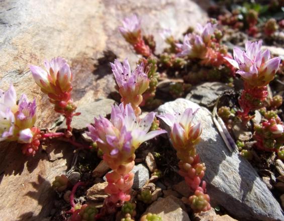
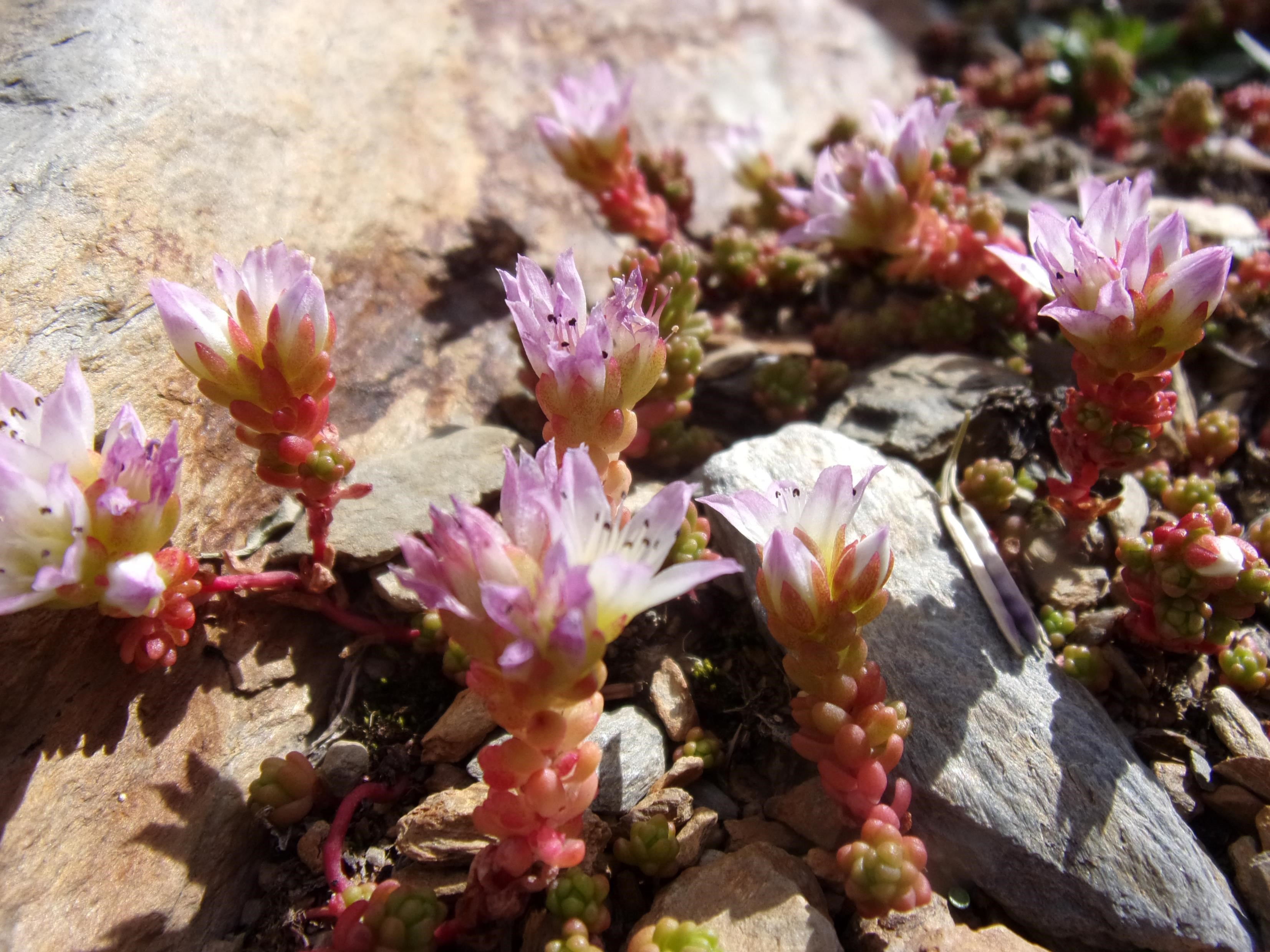
Sedum candollei
ONCFS
With a natural habitat map unchanged since 2003, the announce in 2015 of future GPS-collars availability for research teams to implement habitat utilization on Pyrenean chamois (Rupicapra rupicapra pyrenaica) and Capercaillie (Tetrao urogallus aquitanicus) pointed out the need of its evaluation and update.
The first work of evaluation conducted in late 2015 concluded for an update experimenting a standardized methodology.
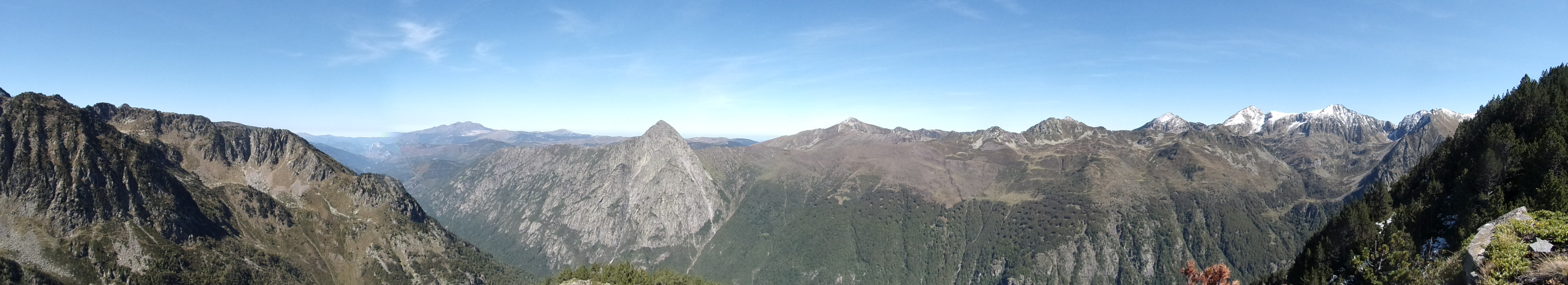
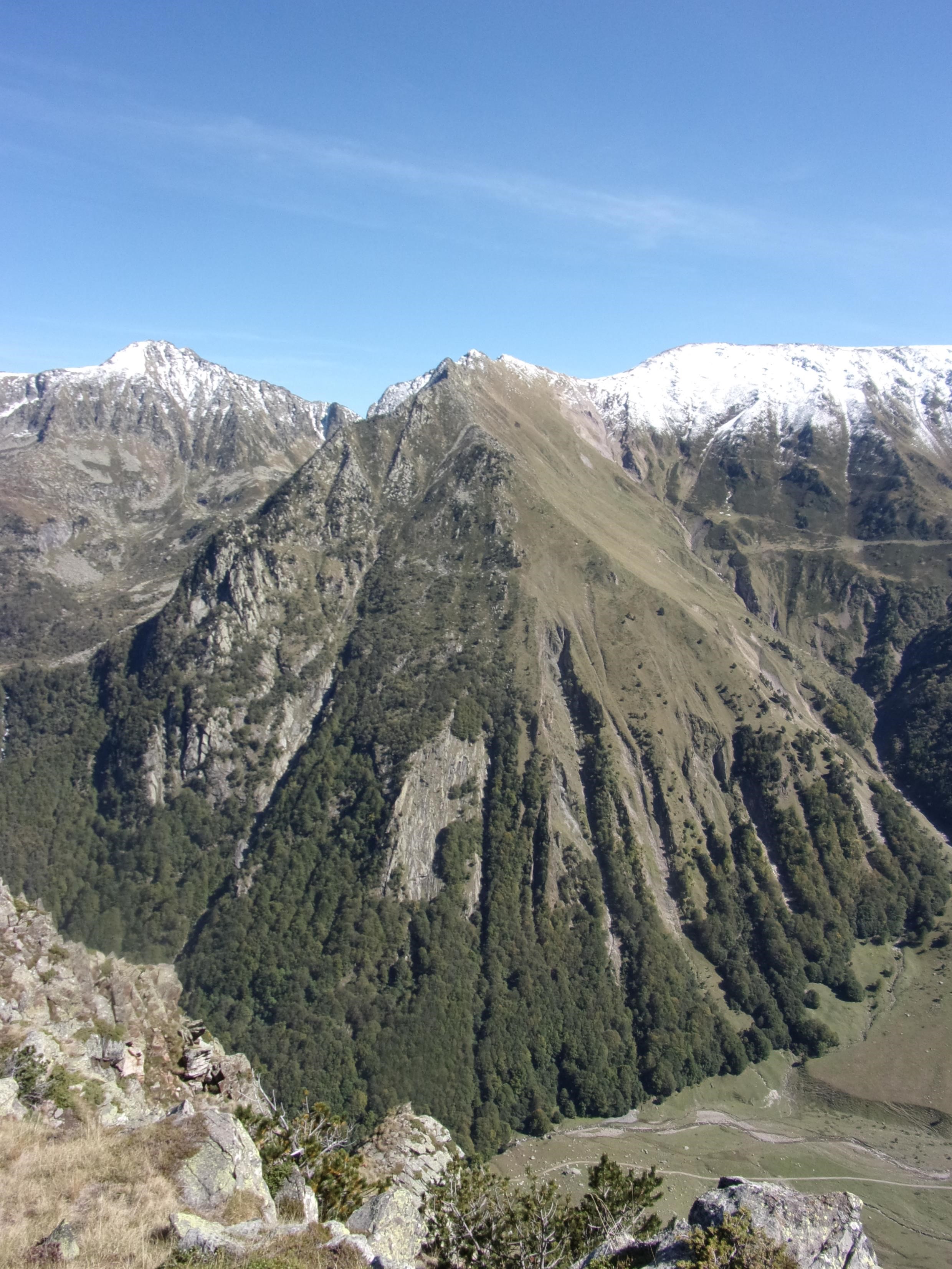
Fieldwork ran on two campaigns in spring-summer 2016 and 2017 producing data covering the third of the reserve expanse, the rest was interpreted through an equivalence relation between physical factors and habitat value to complete the map.
As the first equipped animals were captured and released during summer 2017, the map and its database were operational in winter 2017.
Last update: 02 Aug 2019
3711 Views
Galería de fotos y vídeos
Impacts
The new natural habitat map targeted at least four objectives :
- Firstly, create a database for endangered plant species or vegetation habitats monitoring.
- By regular updates, the map will be able to address climate-change-driven changes on vegetation and dynamic effects on forests and grasslands.
- When local actors as livestock farmers ask for grassland layouts and clearings, the map provide a good tool for assessing sustainability of their application.
- Last but not least, the map database provide a support for analyzing habitat utilization in the GPS-collars-based studies, comparing data of localizations and spans of presence for each type of habitat censused in the protected area.
So the impacts are positive at three levels, contributing to:
- improve sustainability of pastoral projects and works inside the protected area
- better understand habitat utilization of emblematic species and consequently improve targeting habitat protection measures
- maintain conservation objectives of the management plan in balance between vegetal and animal stakes.
The methodology driving this work has been evaluated in early 2018 and might be published by the end of the year, expanding the tools range proposed at national level for protected areas vegetation mapping
Related result : rediscovery of one orchid species (LAIGNEAU, F. & FAYET, B., 2018. Redécouverte de Traunsteinera globosa dans les Pyrénées)
Sustainable Development Goals
SDG 13 – Climate action
SDG 15 – Life on land
Conectar con los colaboradores
Other contributors
François Prudhomme, Françoise Laigneau
Conservatoire botanique des Pyrénées et de Midi-Pyrénées