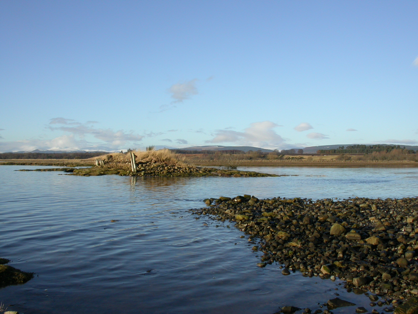

Deux brèches de 20 mètres dans la digue ont été créées en deux jours pour permettre aux marées de pénétrer dans la zone. La digue secondaire située derrière le champ a été rehaussée à la hauteur de l'onde de tempête prévue pour une année sur 50, avant que les brèches ne soient creusées. D'autres travaux d'ingénierie nécessaires, en particulier le blocage des ponceaux d'un canal de drainage derrière la digue, ont également été entrepris sur la base des recommandations de l'"étude de conception et d'impact".
Avant les années 1950, date de la construction de la digue (qui s'est rompue en 2003), la zone englobant le "Meddat Marsh Field" était une zone humide côtière. En effet, une carte de l'Ordnance Survey datant de 1872 montrait qu'il semblait y avoir des vasières ainsi que des marais salants (indiqués comme "susceptibles d'être inondés" sur la carte) dans ce champ. En outre, avant le projet, il était difficile de garder le champ au sec et comme il n'avait pas été labouré, une grande partie de la topographie (y compris des criques relictuelles de marais salants) était encore présente.
Le projet de la baie de Nigg était le premier de ce type en Écosse et il n'y avait donc aucune expérience des autorisations requises, ou des processus nécessaires pour obtenir ces autorisations, dans le cadre du système écossais. Par conséquent, la RSPB a dressé une longue liste de réglementations potentielles concernées et les agences compétentes ont été consultées.