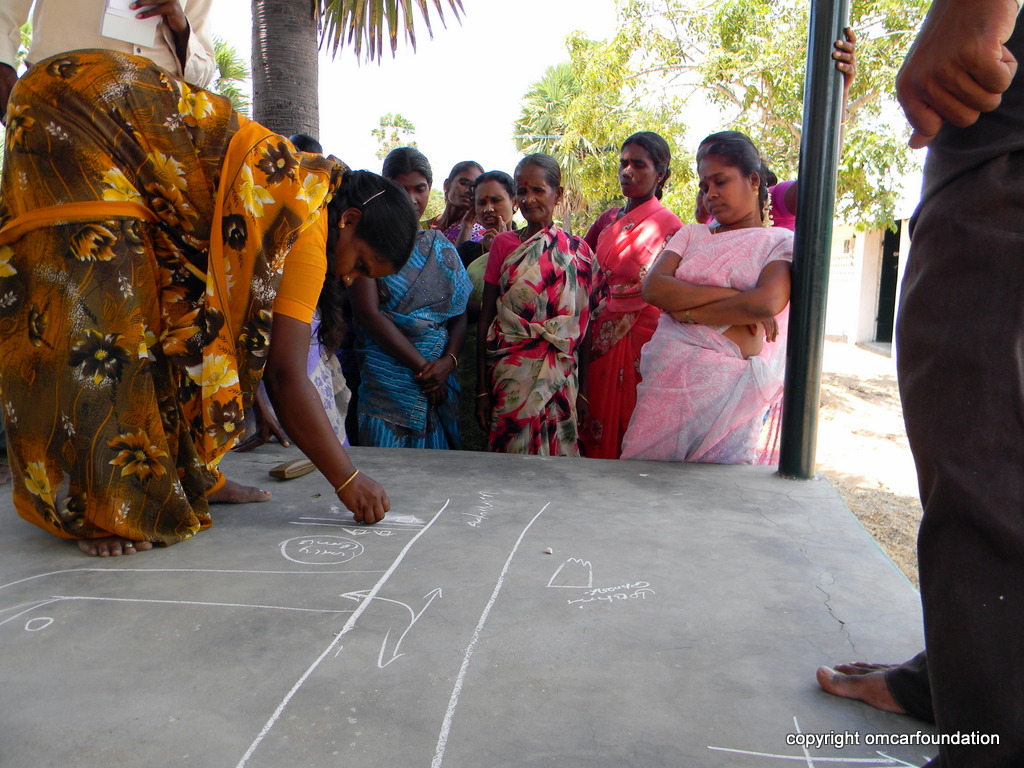
Il n'existe pas de données claires sur la propriété foncière et les zones de mangrove dans les villages côtiers de la zone du projet. Nous avons donc développé des techniques de cartographie SIG simples et peu coûteuses, qui nécessitent la participation de la communauté locale pour être affichées dans les salles communautaires des villages. Cette technique a permis d'établir une carte complète de l'utilisation des terres dans les villages côtiers, qui aide à localiser les sites de plantation de mangroves, à prévenir les inondations et à contrôler l'extension des élevages de crevettes. Cette carte a également servi d'outil clé pour comprendre mutuellement l'utilisation des terres du village, la conservation et le développement durable entre les habitants et le gouvernement local. La même expertise technique a été utilisée pour créer une carte SIG des limites de la forêt de mangroves protégée de Muthupet dans la baie de Palk, d'une superficie d'environ 13 000 hectares carrés.
Les principales conditions sont les suivantes
- Former les villageois au relevé GPS
- Organiser des réunions publiques, afin que les bénéficiaires comprennent la valeur réelle de ce concept
- Impliquer des volontaires dans l'élaboration de cartes SIG
- Affichage des cartes dans les lieux publics et les salles communautaires en grand format (5 x 4 pieds) pour une utilisation régulière.
- Plantation de mangroves uniquement dans la zone sélectionnée par les personnes ayant développé les mangroves.
- La planification locale de la conservation des mangroves est facile pour les agents forestiers sur le terrain, après avoir développé notre carte SIG.
La cartographie SIG à faible coût est un processus très lent.
- Il est essentiel d'entretenir des relations étroites avec la communauté
- Les connaissances traditionnelles sont très importantes en ce qui concerne les modes d'utilisation des terres locales.
- Les groupes de femmes jouent un rôle essentiel dans l'élaboration des cartes.
- De bonnes relations avec le département local des forêts sont essentielles pour montrer notre intérêt non lucratif pour l'élaboration de cartes SIG de la mangrove.