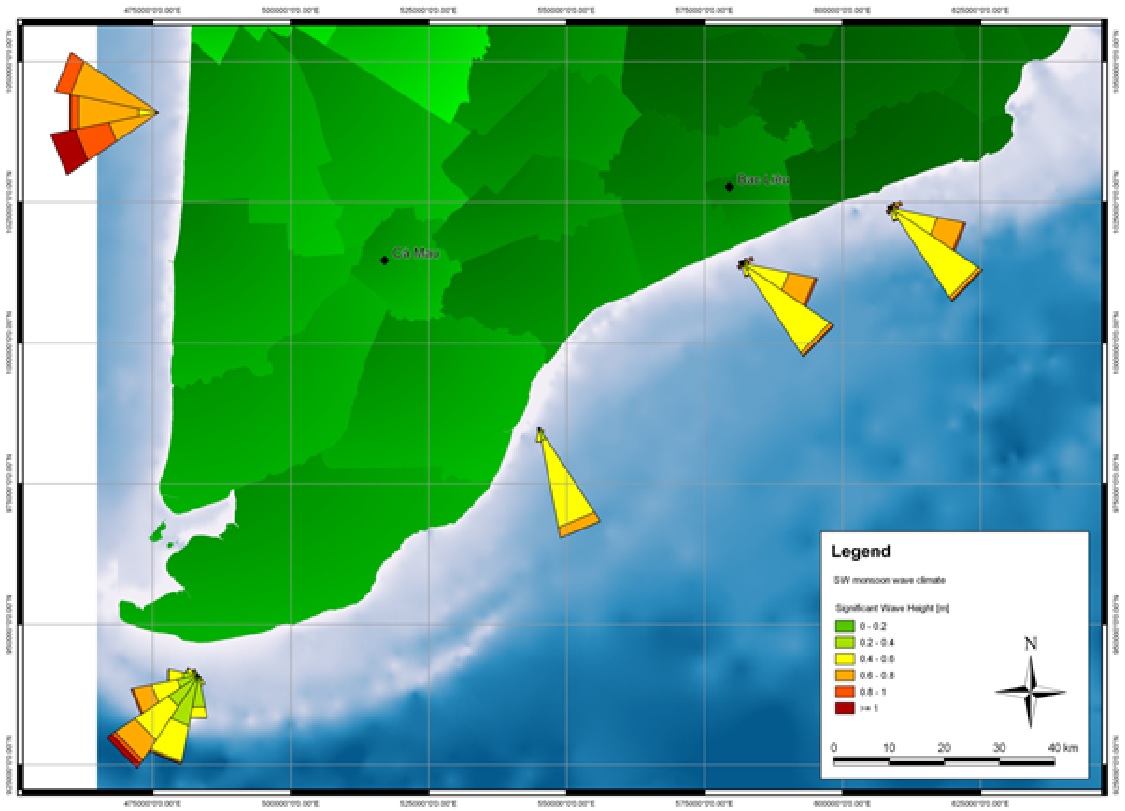

This tool serves the purpose of understanding and projecting natural forces which are shaping the shoreline in order to plan the optimal placement and design of breakwaters: Use available and field data (for all seasons) on near shore bathymetry (depth profiles), wave height, direction, and period; tidal regime and currents; sediment composition (seabed and suspended), and wind patterns, to calibrate and validate numerical models. Map outputs on wave climate, tidal regime, sediment transport and bathymetry. Use projected hydro- and sediment dynamic conditions to determine feasibility, best design and placement of breakwaters.
- Coasts dominated by muddy sediments (fine sand, silt, clay).
- A relatively shallow near shore with little slope in the bathymetric profile.
- Sufficient suspended sediment supply.
- Possibility to use T-fences to recreate original coastline between existing headlands with mangrove forest cover.
- Historical records of mangrove occurrence for the site to assess feasibility of natural regeneration of mangroves or mangrove rehabilitation.
Coastal engineering know-how, specialized software and facilitation proved to be compulsory. Engagement of local technical departments and responsible authorities as well as proper information is necessary to ensure commitment and long-term support. Prioritization of sites by local authorities, or due to socio-economic values connected to the use of the hinterland, must be taken into account. Relevant authorities and partners should be made aware that results of numerical modelling may prove valuable for other measures planned in the area. This can increase efficiency and create valuable synergies.