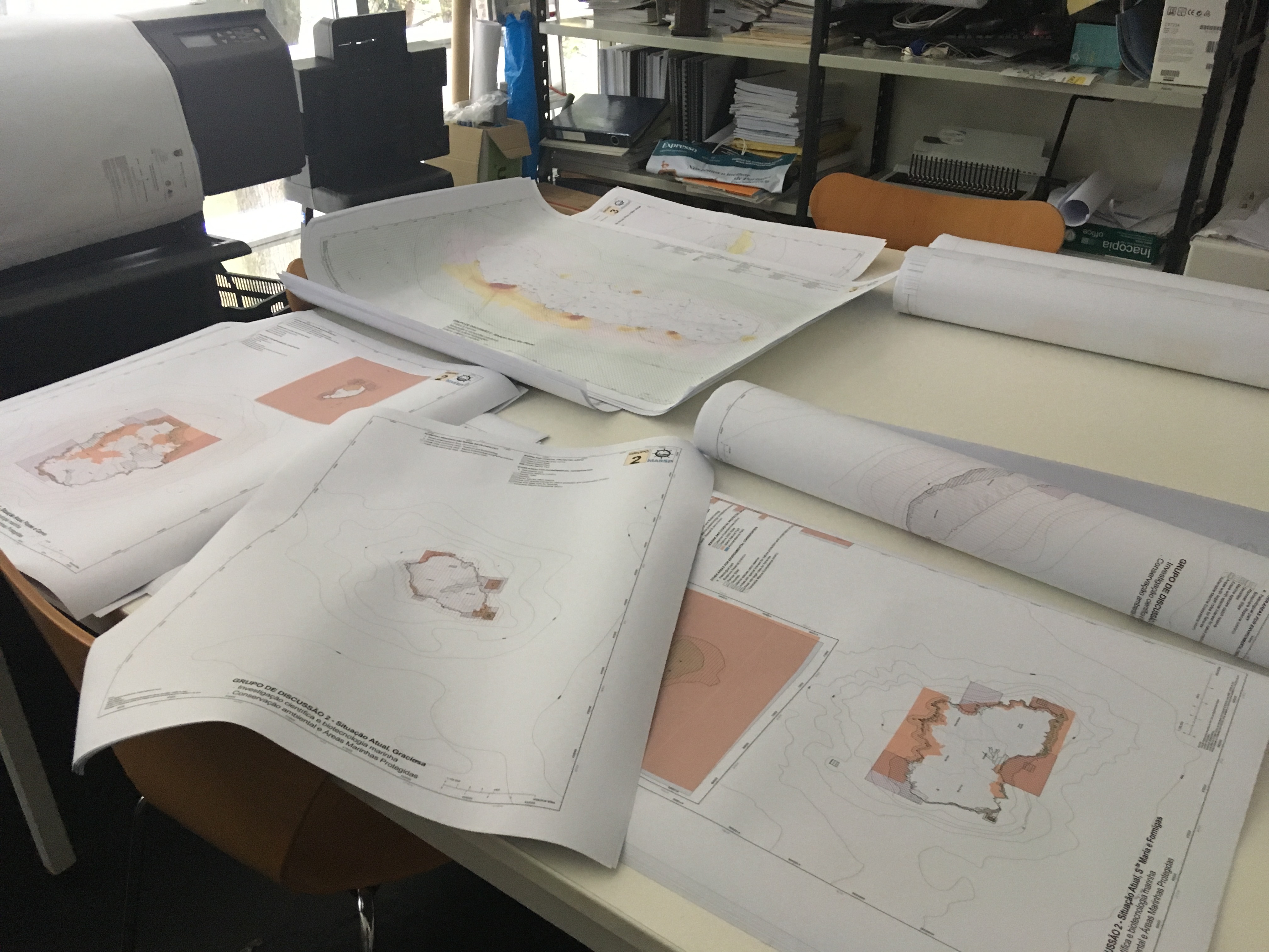

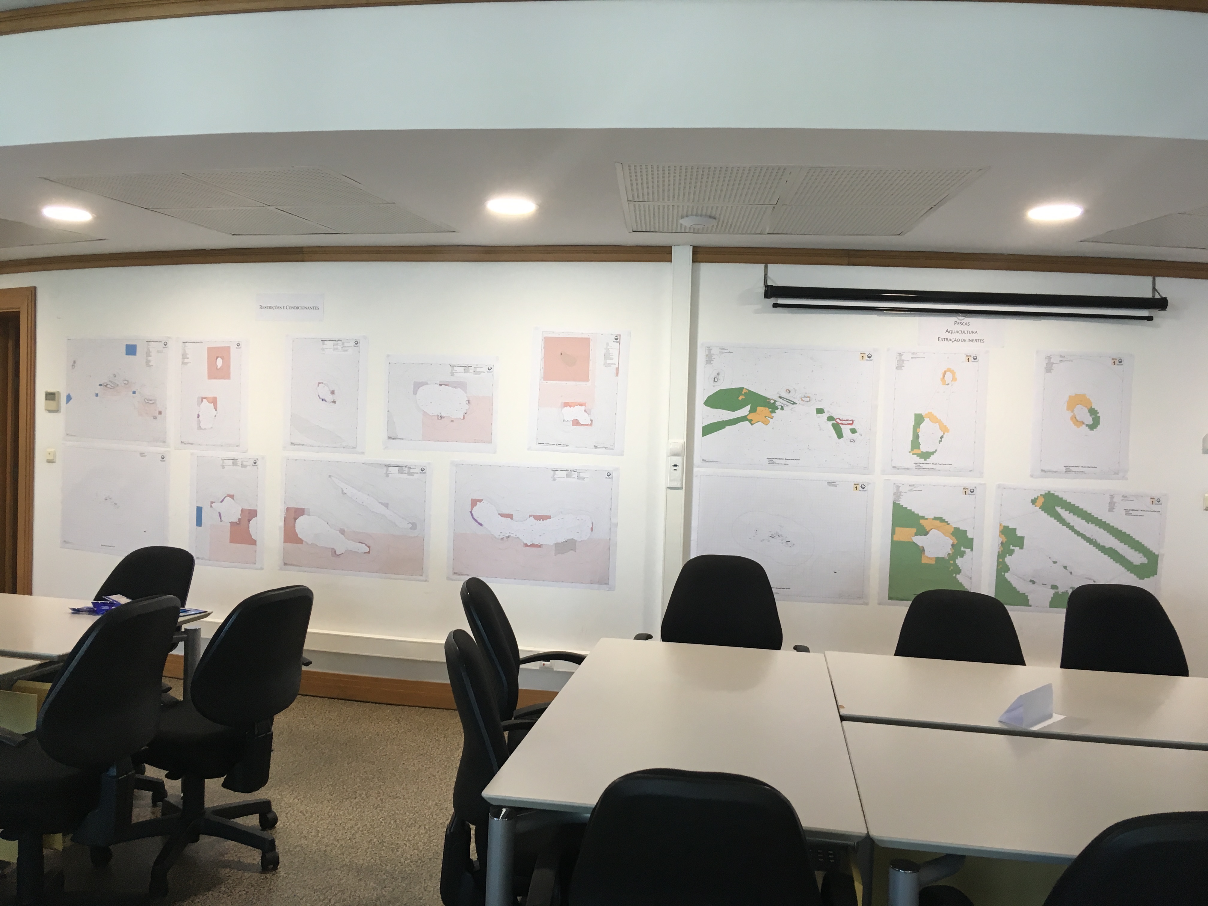
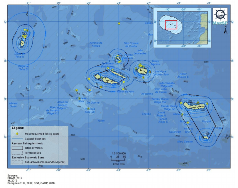
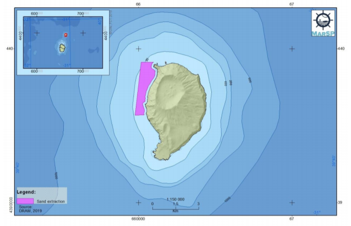
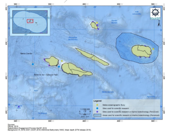
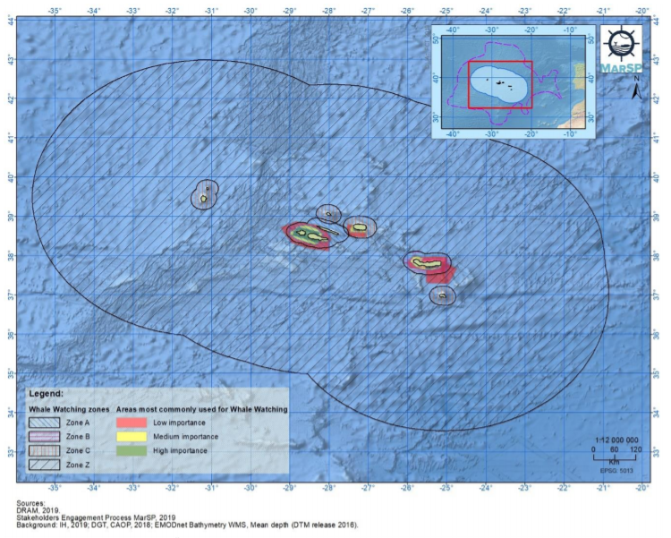
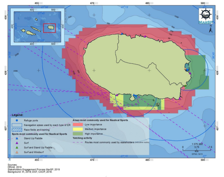
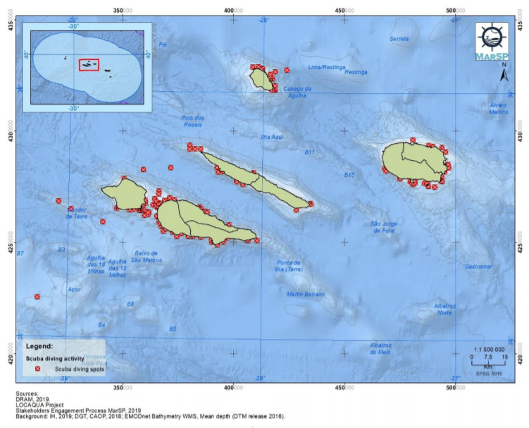
The spatial database elaborated for the Azores archipelago was essentially based on the compilation of already existing and available cartographic information. This was due to the limited time period for the implementation of the MarSP project and the need for validation of information by the competent entities/authorities, in the case of the elaboration of new cartography. Thus, the new information collected was composed of information produced during the participatory process. The participatory process, with the resulting production of cartographic information, was based on two distinct steps: (i) development of individual interviews, with the main actors representing each of the sectors of maritime activities identified for the Azores and (ii) workshops for discussion and/or validation of preliminary results obtained during the research and sector interviews performed, and for adding more information (during the 3rd stakeholder workshop). To collect the data in the interviews conducted, a web-based solution (SeaSketch) was used. This solution brings together powerful tools to empower and improve the MSP process.
- Face-to-face interviews allow a better participation and collection of data.
- Workshops allow the clarification of doubts, data ammendment and collection of new data.
- Using a web-based tool (SeaSketch) facilitates the collection of spatial information during the interviews.
- Interviews are time-consuming.
- Filling knowledge gaps require an extensive effort.
- Need for time to validate information/data by the competent entities, in the case of the elaboration of a new cartography.