Ecosystem-based & conflict-sensitive participatory land use planning in Bontoc
Snapshot Solution
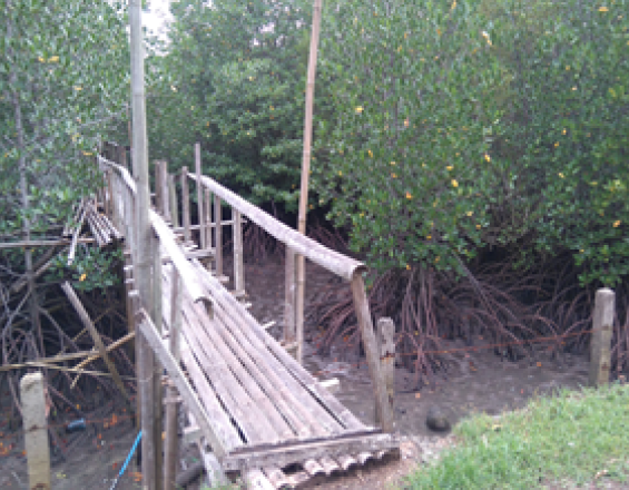
Municipal Fence against illegal protected mangrove occupants and land speculators
http://www.southernleyte.gov.ph/
Bontoc is exposed to various disasters including landslides and cyclones. Local government in cooperation with GIZ helped the communities to articulate their needs towards increased adaptive capacities to disasters and the effects of climate change. A mixture of participatory approaches were used to sensitize the local poplulation. Land use conflict analyses were conducted. as well as mangrove rehabilitation actions which were integrated into comprehensive land use and development plans.
Last update: 01 Oct 2020
6597 Views
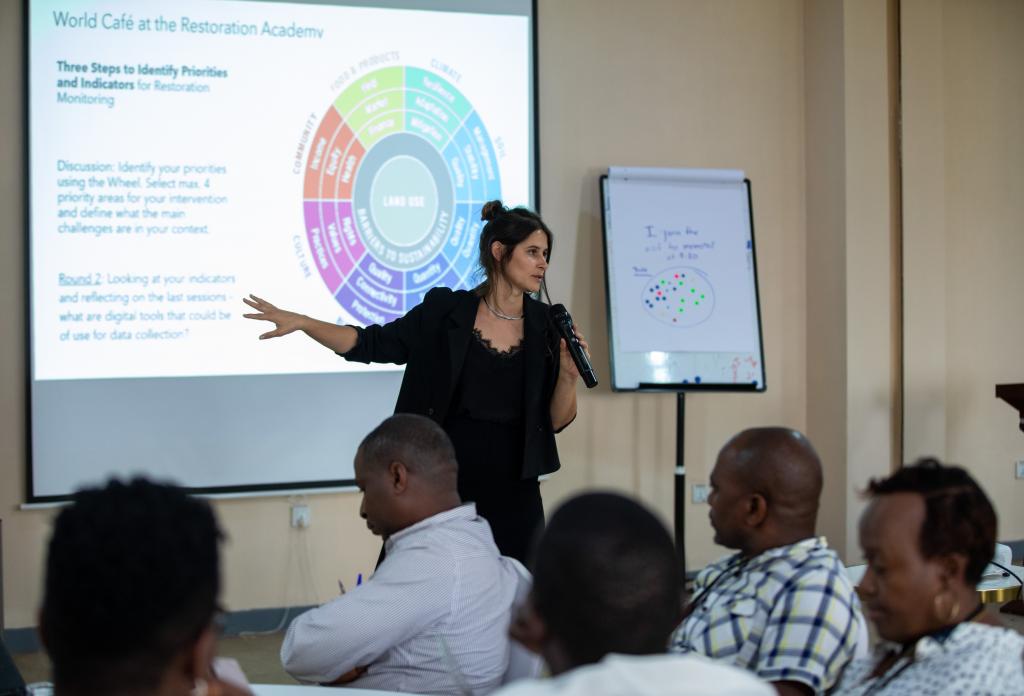
Photo and video gallery

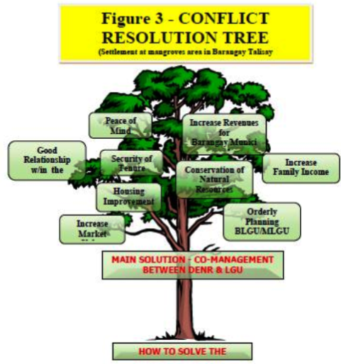
Impacts
- A relocation site for highly exposed communities was established in the proposed land use map, site development and alternative livelihoods and other safeguard measures were taken up as priority program and projects. -Fishing communities continue to benefit from the abundant fish supply within the municipal waters, ensuring them their livelihoods and food security. -Disaster risk reduction: Potential risks for communities living along coastal and mangrove sites have been reduced. The municipal government mobilized the communities to have disaster risk reduction orientations and drills. -Aside from fishing, those who are to be transferred in the relocation sites are able to start up with farming activities for their food security having alternative livelihood options. -The municipal government likewise allocated additional budget to mangrove protection