Implementation of a Quasi-Real Time Monitoring System in Makira Natural Park, North-East Madagascar
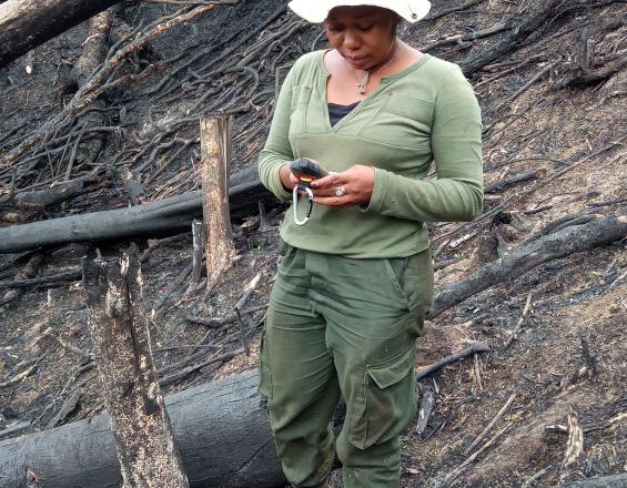
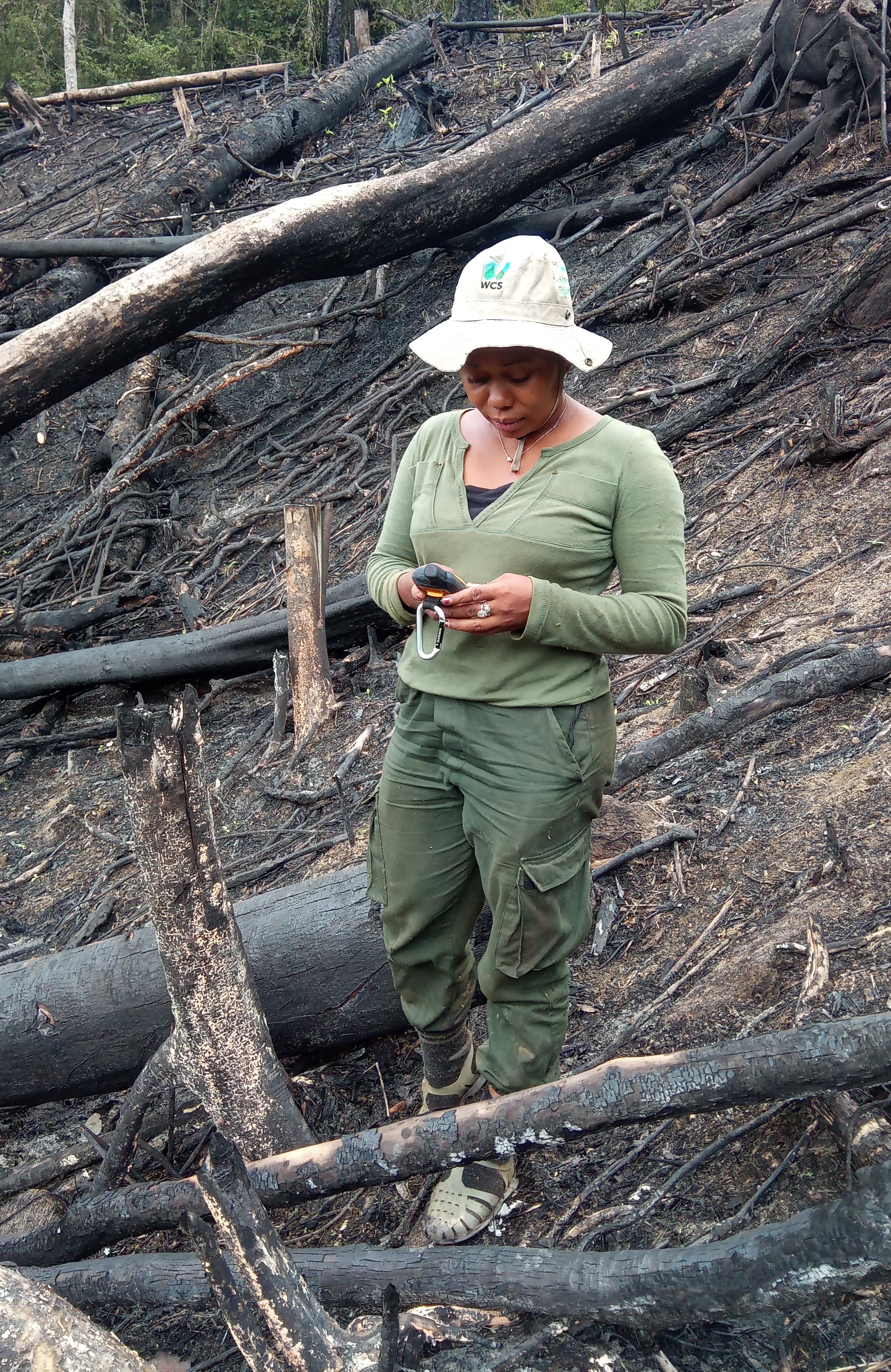
Makira Nature Park, one of the last vast expanses of rainforest in Madagascar's eastern tropical forest biome, plays an essential role in ensuring connectivity between protected areas in the northeast of the island, threatened by deforestation due to unsustainable agriculture, illegal logging and the hunting of emblematic species. The park's surveillance and the safety of its staff present major challenges. The Wildlife Conservation Society (WCS), drawing on its experience in Africa, has set up a control room, an innovative device comprising Spatial Monitoring and Reporting Tool (SMART) software and complementary technologies such as Garmin InReach and EARTHRANGER two-way satellite communicators. Garmin InReach's SOS and weather forecasting functions ensure the safety of officers and patrols alike. A reduction in the encounter rate for major offences has been recorded in just one year.
Photo and video gallery
Context
Challenges addressed
Location
Impacts
The implementation of the near-real-time monitoring system has strengthened the ability of patrol officers to effectively detect and document forest infractions. Android smartphones facilitate data capture, enabling detailed listing of infractions and target species. Since the deployment of the new system, infractions have fallen by 66%, from 0.06 to 0.04 per kilometer in 2023. The use of Garmin InReach since September 2022 and EARTHRANGER has enabled real-time monitoring of patrol teams via a central dashboard, improving responsiveness to identified threats.
In addition to real-time information transmission, the SOS function of Garmin InReach devices ensures the safety of patrollers in the event of medical emergencies or threats. In addition, the weather forecasting function facilitates patrol planning, minimizing weather-related risks. Near real-time management has revolutionized the fight against poaching, as witnessed by the successful arrest of an ex-authority involved in lemur hunting.
Integrated satellite alerts help to proactively manage fires and land clearing.