
"Smart Wetland" - Where Traditional Management Meets Innovation & Technology
Full Solution

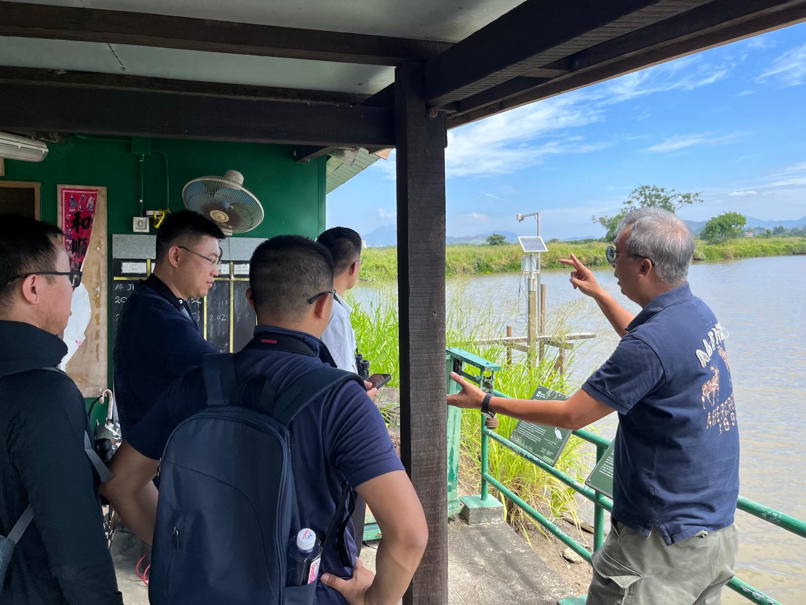
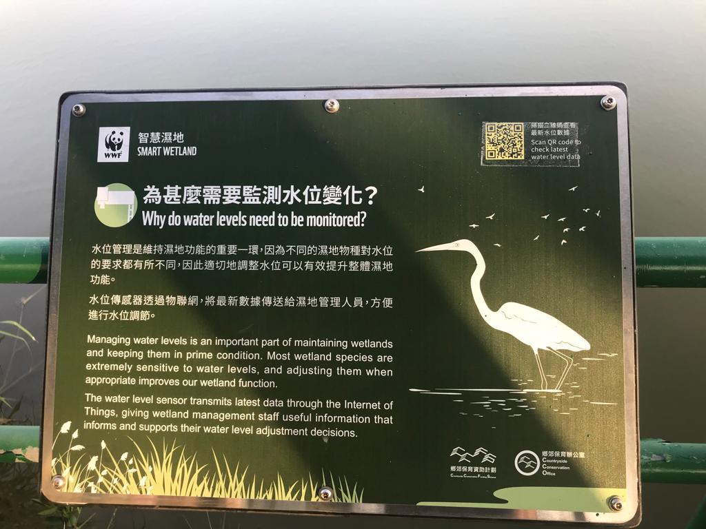
Water level sensor
WWF HK
Over the last few decades, wetlands in the Inner Deep Bay area have been managed in conventional and traditional approaches, However, emerging environmental and social challenges—such as extreme weather events and labor shortages—have increasingly impacted wetland stewardship. This project integrates innovation and technology to tackle these wetland management challenges.
This project leverages cutting-edge technology to enhance wetland management through:
- researching I&T solutions for wetland monitoring, especially by introduction of wireless Internet of Things (IoT) sensors that can contribute to management and conservation of wetland landscape in Mai Po Nature Reserve (MPNR);
- establishing a wetland pilot site to validate the proof of concept by deploying wireless IoT sensors and remotely collecting wetland monitoring data; and
- analyzing collected data to assess the effectiveness and settings of IoT sensors applications and sharing experience to relevant stakeholders in the wetland stewardship community
Last update: 10 Oct 2025
477 Views
Tech4Nature Award
Technology Description
Accessing city power and internet connection is always a challenge in remote areas like Mai Po Nature Reserve (MPNR).
This project deployed 30 water level sensors, 2 water quality sensors and 2 buffalo tracking sensors using Long Range Wide Area Network (LoRaWAN) technology to enhance wetland monitoring at the Mai Po Nature Reserve. LoraWAN is designed for long-range, low-power communication, making it ideal for areas with limited connectivity. It enables data transmission over several kilometers and reduce the cost and complexity of sensors deployment.
In addition, 4 Government-Wide IoT Network (GWIN) gateway were installed by Electrical and Mechanical Services Department (EMSD) of Hong Kong SAR Government. These gateways receive LoRaWAN signal from the LoRa-compatible sensors and transmit the signal to the GWIN backend by 4G/5G network. The Central Management System (CMS) then retrieves data from the GWIN backend and displays data on desktop or mobile devices for daily operational and research use. Three gateways operate on city power while the one installed at the mudflat area is powered by a solar system. Besides the four gateways specially installed for this project, the gateways installed by other government departments in surrounding area near MPNR further enhance data reception resilience.
Many wetland species, in particular waterbirds, are extremely sensitive to water levels. Adjusting water level when appropriate enhances wetland function greatly. The water level sensors provide real-time data to wetland management staff, helping optimize water levels for wetland species. The water level sensor is powered by battery with a battery life of around 2 years. The data transmission frequency can be set as 10, 20 or 30 minutes depending on the data sampling requirement of each location.
Good water quality is essential to the survival of wetland wildlife. Monitoring the quality of water at Mai Po is key element of our wetland management. The water quality sensors continuously monitor water quality conditions to provide information for necessary management measures. Powered by a small polar system, they transmit data very 60 minutes.
Buffaloes are Mai Po's "wetland engineers". The intensity of their grazing controls the height of plants and creates micro-habitats that attract various wetland birds and animals. GPS technology is employed to track the movement of water buffalo by attaching a tracking sensor to its collar. Buffalo's location data is transmitted very 20 minutes for analyzing its habitat use and assisting daily buffalo care. The battery powered the sensor can last 1.5 years.
The Central Management System operates on AWS cloud network and provides real time data backup to secondary server to achieve full-scale data resiliency. User can access near real-time data via a web-based application on desktop or mobile devices. Custom alerts-like high water level, abnormal pH level, buffalo out-of-geofence- can be sent via email or SMS, with adjustable threshold and notification settings.
By integrating sensors and a digital management system, this project has significantly enhanced wetland monitoring efficiency, increased data frequency, and enabled new potential research opportunities for wetland conservation.
Donors and Funding
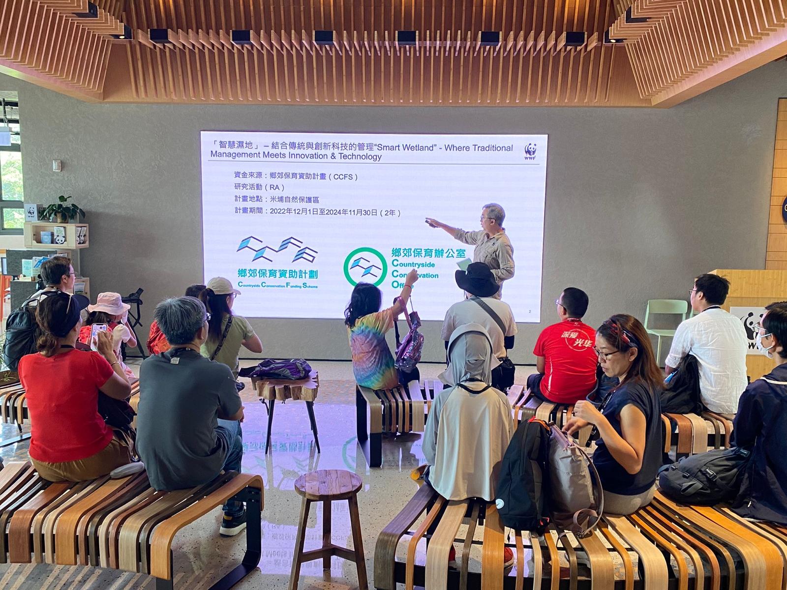
Donor: Countryside Conservation Office of Hong Kong SAR Government - Countryside Conservation Funding Scheme - Research Activities on Countryside Conservation and Revitalization


Context
Challenges addressed
Environmental Challenges:
- Precise water level control is required to maintain habitats for waterbirds.
- Regular water exchange is essential for sustaining good water quality.
- Continuous water quality monitoring helps inform necessary water exchange actions.
- Vegetation control ensures open landscapes that support waterbirds.
- Climate change-induced extreme weather events threaten habitat stability.
- Distant or inaccessible monitoring locations make regular environmental assessments difficult.
Social Challenges:
- Labour shortages limit manual monitoring efforts and conservation work.
- Additional husbandry and monitoring efforts are needed for buffaloes introduced as "wetland engineers."
Economic Challenges:
- Limited access to city power and internet networks, and labor shortages increase operational costs.
Location
Hong Kong
East Asia
Process
Summary of the process
How the 4 phases of this project development lifecycle are connected to each other:
- Foundation to Deployment: A solid foundation with clear objectives and stakeholder engagement ensures that the deployment phase is well-prepared and aligned with the project's goals.
- Deployment to Implementation & Evaluation: Effective deployment sets the stage for smooth implementation. Continuous monitoring during implementation provides feedback that enhances deployment practices, improving future deployments.
- Implementation & Evaluation to Dissemination: The evaluation phase generates valuable insights and data, which are sentential for dissemination. Clear metrics and successful outcomes strengthen the impact of dissemination efforts.
- Dissemination to Foundation: Lessons learned and feedback from dissemination inform the foundation phase of future projects, fostering continuous improvement. Dissemination can be strategically planned throughout the project lifecycle, with specific activities scheduled at different phases to maximize impact.


Building Blocks
Foundation - Consultation with stakeholders, identify and prioritize suitable device, platform and network to be applied at MPNR for efficient wetland monitoring
Goal: To lay the foundation for integrating I&T solutions into traditional wetland management
Objectives:
- To introduce three proposed IoT applications to wetland stakeholders and I&T sectors
- To consult wetland stakeholders and I&T sectors for their views and comments
- To review potential IoT applications beneficial to the management of MPNR
- To identify and integrating relevant IoT solutions for gei wai operation and wetland research into MPNR
Enabling factors
Studies were conducted to identify and prioritize suitable device, platform and network to be applied at MPNR for efficient wetland monitoring by:
Consultation with wetland stakeholders:
- Consultation with Mai Po Management Committee (MPMC), which comprises of representatives from Agriculture, Fisheries and Conservation Department, Hong Kong Bird Watching Society, academics, independent wetlands experts and ornithologists. Obtained advice on the proposed IoT application.
- Consultation with local village communities. Their input helped align the project with community values and needs.
- Consultation with innovation and technology sectors. Technical advice obtained on the selection of proposed IoT applications, transmission network system and deployment requirements from Electrical and Mechanical Services Department, Innovation and Technology Commission, member company of Incu-Tech Programme, Hong Kong Science & Technology Park.
Review of potential IoT applications in wetland conservation:
- A Technical Review Summary of Potential IoT Application was created (as attached)
Lesson learned
Views and suggestions from MPMC are summarized as follows:
- Given that I&T solutions could be expensive, compromise between data sampling frequency and cost has to be made
- Selection of locations for sensors deployment provides detailed information for habitat management
- Quality control of data is crucial
- The real-time, automated IoT monitoring system enhances efficiency of data collection. The data can correlate with other scientific researches
- Deployment of sensors might visually affect the natural landscape of wetlands
Views and suggestions from I&T sector are summarized as follows:
- The proposed three applications are feasible
- Scope of service has to be clearly defined. This might include a execution plan, application implementation service, technology consultation service, vendor management service, on-site installation, platform establishment, data analytic service, maintenance service
- The platform should be able to capture data, establish data pipeline and integration and perform data analysis
- Functional requirement for the platform such as user access, building information model (BIM), alert, data streaming and dashboard analytics should be clearly stated
- Technical requirements for the platform such as computer specification for operating the platform, BIM format and capacity, data security should be clearly stated
Deployment - Partnership with local Government Department - Electrical and Mechanical Services Department (EMSD) for the utilization of Government-Wide IoT Network (GWIN)
Partnership with EMSD allows us to utilize GWIN network as a transmission layer for all sensors installed for this project at Mai Po Nature Reserve (MPNR) with no network recurring cost required.
The technology offers several benefits that make it well-suited for wireless data transmission in IoT applications. Its long-range capabilities allow data to be transmitted over a distance, making it ideal for vast rural areas like MPNR. Furthermore, LoRa’s efficient power consumption extends the battery life of battery-powered devices. LoRa data transmission also ensures the confidentiality and integrity of the data through secure protocols.
In this project, four GWIN LoRa gateways were installed by EMSD within Mai Po Nature Reserve (MPNR). The sensors installed at MPNR are connected to gateways via the low-power and private LoRa network and eventually connected back to the GWIN backend via the 4G network. Besides these four gateways specially installed for this project, other GWIN gateways near MPNR can further secure data transmission reliability.
In return, these four gateways can also help receiving signal from the sensors installed by various government departments in the surrounding area.
Enabling factors
Traditional sensors would each require a 4G connection to connect to central servers. In the GWIN network, sensors are connected to gateways via the low power and private LoRa (Long Range) network. The network with low power consumption reduces the cost and complexity of installing the sensors and improves the security of the system and data without the need of using a third-party network.
Lesson learned
Pursuing strong partnership with EMSD allows us to more efficiently tackle challenges we are facing at MPNR (limited access to internet and city power) through their well-established network and support.
Resources
Dissemination - To promote the application of IoT technology on wetland management
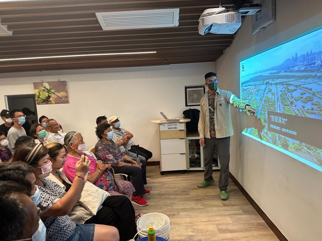
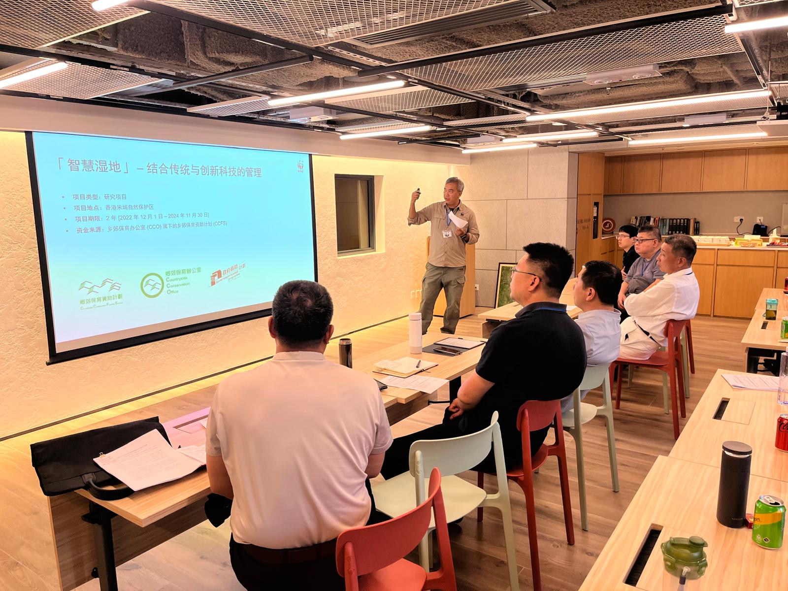
To promote the application of IoT technology on wetland management, this research project and experience learnt has been shared throughout the project by:
- Organizing webinars for conservation managers and wetland stakeholders
- Installing outdoor interpretation panels in MPNR
- Promoting through social media platform and media engagement
- Producing promotional video
- Publishing technical report of the project
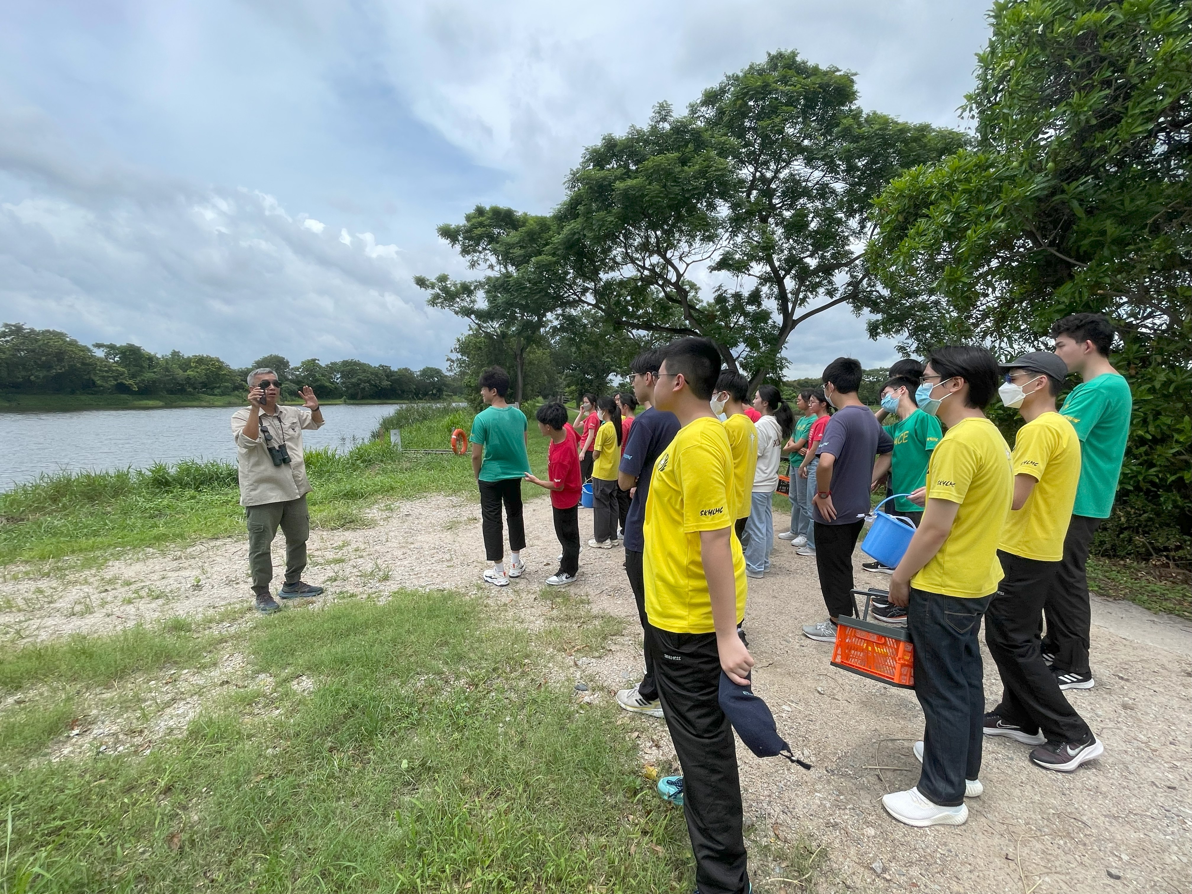
- Organizing public and school tours to introduce the application of IoT technology in wetland management at MPNR
Enabling factors
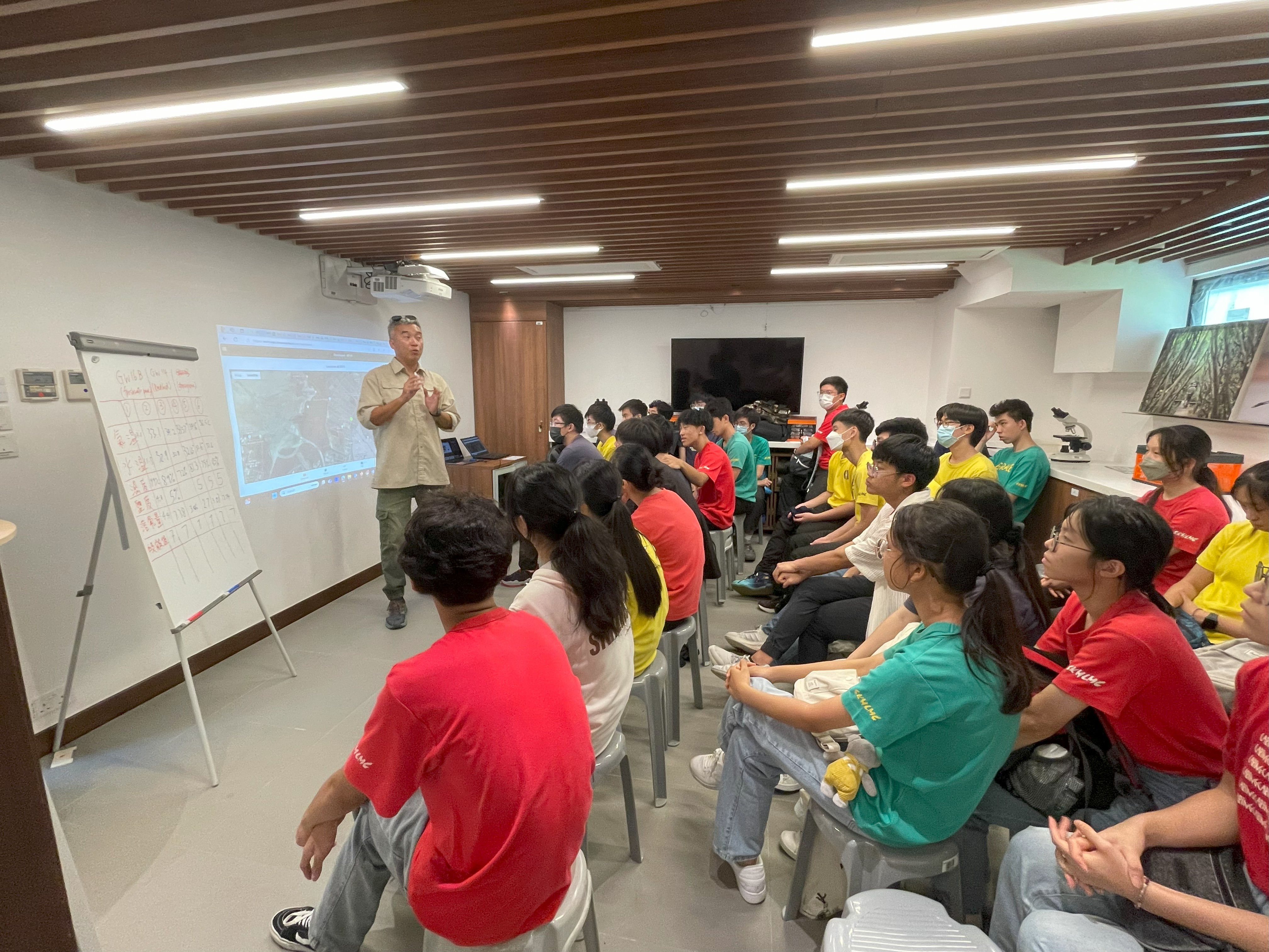
3 seminar/webinar of IoT application on wetland management were held. They were attended by over 120 participants including practitioners from over 30 managed sites across the globe, National Forestry and Grassland Administration from mainland China, local government departments, NGOs, public and private institutions.
Interpretation panels were installed inside MPNR telling the visitor the purpose of the 3 types of IoT sensors.
Several posts were published through social media, and media was engaged to let the public know the major components of the project and the importance of wetland and its proactive management.
1 promotional video was produced and published telling the public what we have done and achieved in this 2-years project
1 Technical Report on IoT Application for Wetland Conservation in Mai Po Nature Reserve was created and published providing recommendations for future IoT deployments in similar wetland environments, highlighting the scalability and replicability of this approach.
Public and school tours to MPNR were held to introduce the application of IoT technology in wetland management at MPNR.
Lesson learned
This dissemination phase is crucial for ensuring that the results and deliverables of this project are shared with stakeholders and the wider audience. Here are some lessons learned:
- Identifying and targeting the right audience is essential. This includes internal stakeholders, other projects, and the broader community.
- Various methods can be used for dissemination, such as reports, presentations, workshops, social media, and publications.
- Dissemination should be planned throughout the project lifecycle, with specific activities scheduled at different phases to maximize impact.
- Engaging stakeholders through dissemination really helps in gathering feedback, fostering collaboration, and ensuring the project's sustainability
- The importance of thorough documentation and clear reporting. This ensures that lessons learned are accessible and can be referred to in future projects
- The activities done in dissemination phase can be used as an opportunity to identify areas for improvement in project processes and methodologies
Impacts
This project is the first research initiative aimed at studying the IoT based monitoring system for wetland conservation in Hong Kong. It has made positive impact on the conservation and management of wetland by:
- Enhancing effectiveness and efficiency of habitat, hydrology and vegetation management through IoT technology in MPNR
- Providing 24/7 environmental parameters such as water level and water quality, enabling trend analysis to support long-term conservation, especially for wetland-dependent birds.
- Collecting real-time environmental parameters to detect abnormalities, ensuring prompt response and mitigation.
- Redirecting resources from manual data collection and untargeted patrolling to focus on understanding and addressing threats efficiently.
- Increasing innovation and management capability within MPNR and among its strategic stakeholders through collaboration and communication.
- Raising public awareness and strengthening the wetland community’s understanding of the importance of the Ramsar Site and wetlands from an innovation and technology (I&T) perspective.
- Demonstrating stakeholder cooperation in wetland conservation to the general public
- Establishing a living case for future reference or replication in managing Wetland Conservation Parks proposed under Northern Metropolis Development Strategy by the HKSAR Government, aligning with the Smart City Blueprint for Hong Kong (Blueprint 2.0).
Beneficiaries
- Wetland practitioners working in environmental setting similar to MPNR.
- Local villagers who benefit from receiving high water level alert notification from the system.
- MPNR staffs responsible for daily hydrology and vegetation management.
Additionally, explain the scalability potential of your Solution. Can it be replicated or expanded to other regions or ecosystem?
As a proof of concept, this project validated the system’s functionality and established a foundation for future large-scale deployments. It serves as a reference case for wetlands along the East Asian - Australasian Flyway, where natural coastal wetlands were previously converted into ponds and are now being restored to provide essential roosting, feeding and wintering sites for waterbirds.
In this project, sensors were primarily used for monitoring purposes. However, the potential of IoT can extend far beyond passive sensing-it can function as an active effector, dynamically responding to detected stimuli. This transformative capability significantly enhances environmental management strategies. For instance, a smart sluice gate equipped with automated controls can be programmed to open when water level sensors detect that levels have exceeded a predetermined threshold, allowing excess water to flow out and prevent potential flooding. Such responsive systems not only mitigate risks associated with extreme weather conditions but also optimizes water resource management. By integrating real-time interventions, IoT enables a more proactive approach to environmental monitoring and management, fostering a more resilient ecosystem.
Beyond monitoring and habitat management, IoT technology offers additional benefits for wetland management, including visitor management, Community Engagement, Participation, and Awareness (CEPA), and surveillance. The experience gained in developing and implementing IoT architecture in this project provides a strong foundation for broader applications in wetland conservation and management, paving the way for more efficient and effective environmental stewardship.
Global Biodiversity Framework (GBF)
GBF Target 1 – Plan and Manage all Areas To Reduce Biodiversity Loss
GBF Target 2 – Restore 30% of all Degraded Ecosystems
GBF Target 3 – Conserve 30% of Land, Waters and Seas
GBF Target 9 – Manage Wild Species Sustainably To Benefit People
Sustainable Development Goals
SDG 1 – No poverty
SDG 3 – Good health and well-being
SDG 11 – Sustainable cities and communities
SDG 13 – Climate action
SDG 15 – Life on land
Story
After identifying the challenges faced by wetland conservation and exploring the latest IoT advancement, a group of wetland conservationists working in Mai Po initiated and designed the project. The project was co-created with a diverse range of stakeholders, including several government departments that provided funding, professional and technical supports on wetland management and innovation & technology. With contributions from other team members and experts, including advice from the Mai Po Management Committee, the project team successfully implemented the initiative. The knowledge and experience gained were shared with other wetland managers both locally and internationally, fostering broader conservtion efforts.
This project focused on evaluating the field performance of the IoT monitoring system and its facilitation in both hydrology and vegetation management in MPNR. The IoT application has effectively supported planned management on-site. By analyzing the data collected through the system, the team was able to assess optimal water level for waterbirds, determine water exchange frequency, and monitor the area usage of buffalo. These insights benefited both field workers and managers across management, research and monitoring activities.
As a proof of concept, the trial validated the system’s functionality and set the foundation for future large-scale deployments, serving as a reference case for Wetland Conservation Parks under the Northern Metropolis Development Strategy. Through the integration of IoT, countryside resources can be more effectively monitored and conserved while fostering a management model for wetland conservation.