Two examples of inventories of little-known biodiversity in the Ecrins National Park: the Lauvitel integral reserve in the heart of the Park and a commune in the area of adhesion.
Full Solution
Booklet Réserve intégrale du Lauvitel - extract
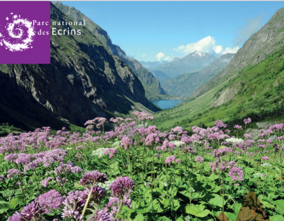
Parc national des Ecrins
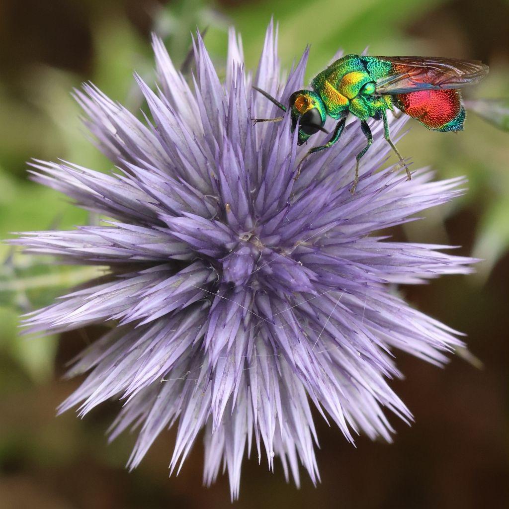
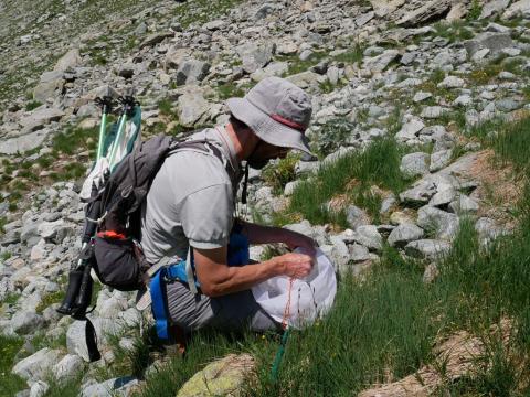
Since the creation of the Lauvitel integral reserve in the heart of the National Park, staff and scientists have been taking annual inventories of the flora and fauna and studying the natural environments that evolve without human intervention. A general inventory of biodiversity (2019-2021) has improved knowledge of species that are little-known but essential to the functioning of ecosystems. 648 new species, including 485 insects and 110 fungi, have been observed. It is estimated that, depending on the group, between 10% and 80% of the species present in the valley remain to be discovered, as changes are observed over time. See the booklet Réserve intégrale du Lauvitel.
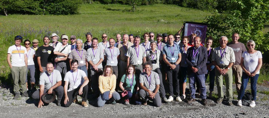
As part of the National Park's charter, the communes in the accession area can also host an inventory of their natural habitats and biodiversity. 61 naturalist and scientific contributors explored Crots (05) over 3 days in 2022. See the booklet "Écrins de nature", in search of the Écrins' smallest inhabitants.
Last update: 30 Sep 2025
44 Views
Photo and video gallery
Context
Challenges addressed
With a few surprises still possible, the vertebrate fauna in the Écrins National Park is now well identified. These include mammals, birds, reptiles and amphibians. The same cannot be said for invertebrates, flora and fungi. The generalized inventory of the Réserve intégrale has enabled us to considerably deepen our knowledge and to explore the evolution of nature, which has been little anthropized (environmental challenge). Communal inventories have improved knowledge (environmental challenge) and raised awareness among elected representatives and the public (social challenge).
All data from the inventories contribute to the knowledge available on the online atlas: https: //www.ecrins-parcnational.fr/dossier/biodiv-ecrins-connaissance-direct
More than 500,000 observations for over 4,000 species, illustrated and mapped, accessible in real time.
Location
Le Bourg-d'Oisans, Isère, France
Crots, Hautes-Alpes, France
Process
Summary of the process
Once the inventory has been satisfactorily completed, all the results are published and made available to the general public, taxonomists (the science of naming and describing species) and scientific researchers. This inventory strategy is made possible by upstream partnerships with taxonomic specialists, who identify the individuals collected, generally using binocular magnifying glasses.
Building Blocks
From inventory to data availability: the Ecrins National Park online atlas of flora and fauna
The Ecrins National Park's online fauna and flora atlas makes available all the data collected by its agents over the last 40 years.
Enabling factors
Biodiv'Ecrins illustrates and describes all the emblematic or rare species of the massif, as well as the wealth of hidden and often little-known biodiversity.
It is not an exhaustive inventory, nor a precise distribution of species over the territory, but a sharing of observations made since 1973 in the Écrins National Park and updated in real time.
Each species has its own identity sheet, with :
- - magnificent photographs to help identify the species
- - a map of sightings in the national park
- - information on how to recognize the species, its preferred habitat and worldwide distribution
- - observation periods and altitudes
- - video and audio supplements, articles, reports and book extracts to deepen your knowledge of the species.
At the level of each commune, it is possible to view all the species observed, with their location, status and links to the "species" files.
A large image gallery shows the rich biodiversity of the massif, with the option of sorting images by species group. The photographs are mainly taken by National Park staff during their field missions.
Lesson learned
All observations are already available. The writing and illustration of species is still in progress. The inventories mentioned contribute to this collection.
Biodiv'Ecrins is part of a long-standing initiative to make public data available on a national scale, organized by the Muséum national d'histoire naturelle (MNHN), whose data repositories are used to supply theInventaire National du Patrimoine Naturel (INPN).
These data contribute to the exchange networks developed by the State services with its institutional and associative partners. Within the framework of these Systèmes d'Information sur la Nature et les Paysages (SINP), data is aggregated and archived, enabling knowledge to be organized at different scales. Exchanges are also organized with the associative partners who lead the participative processes.
These observation networks and territorial complementarities give meaning to data collection and dissemination.
Biodiv'Ecrins uses the GeoNature-atlas opensource tool developed by the Ecrins National Park. It can therefore be freely transferred to other organizations wishing to share their naturalist observations, based on the INPN's national reference systems.
It is part of a set of tools developed by the National Park and its partners to capture, manage, process and share data from different protocols.
http://geonature.fr
https://github.com/PnEcrins/GeoNature-atlas
For the past ten years, the Ecrins National Park has been encouraging the transfer of experience in digital development, collaborative work and the publication of tools developed under open licenses.
Impacts
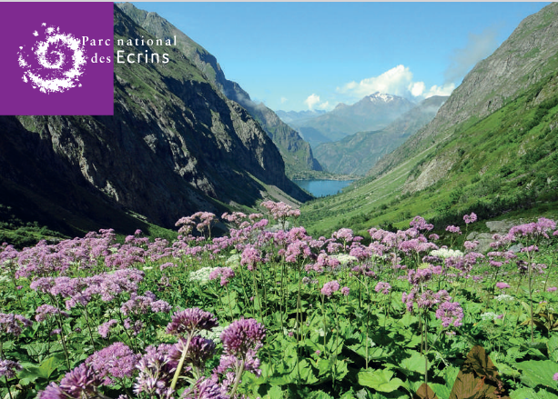
The aim of the integral reserve is to be a reference territory comparable to similar environments supporting pastoral, forestry or tourist activities. It is therefore an open-air laboratory, a privileged location for research into Alpine natural environments. Altitude: from 1,490 m at Lac du Lauvitel to 3,169 m at Pic du Clapier du Peyron.
For the Lauvitel integral reserve inventory, an increase in biodiversity knowledge of around 30%.
Some of the species observed are new to science or to a given territory.
The 2019-2021 ATBI was made possible by the European COBIODIV project.
2 countries: France and Italy - 7 structures involved: 5 in France, 2 in Italy - 9 sites: 6 in France, 3 in Italy - 1 common objective: to improve knowledge of Alpine biodiversity and ecosystems.
The ATBI joint action (led by the Mercantour National Park) improves knowledge of little-known biodiversity in the partner or delegate territories of the PITEM (Integrated Thematic Plan) Biodiv'ALP, by setting up taxonomic inventories.
Beneficiaries
All actions respect the integrity of the site, following a program established by the National Park's Scientific Council. Beneficiaries range from the scientific community to the general public (awareness-raising).
Connect with contributors
Other contributors
Alpine Ecology Laboratory
https://leca.osug.fr/-organisation-
friends of the lake remoray nature reserve
www.maisondelareserve.fr
Micro-entreprise MyColéo
Micro-entreprise MyColéo
Grenoble alpes University
https://www.univ-grenoble-alpes.fr/
inpn.mnhn
https://inpn.mnhn.fr/
National Museum of Natural History
https://www.mnhn.fr/