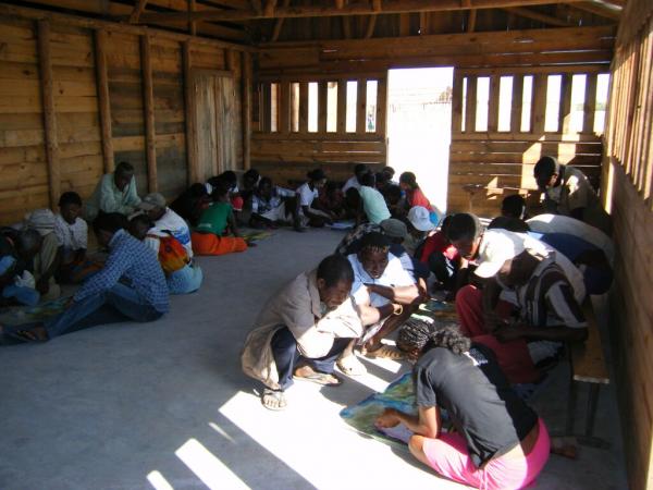

Participatory mapping is undertaken with communities to understand spatial patterns (land use, land tenure, land cover type and historical change and trend) and the state and use of mangrove resources in the project area.The participatory mapping creates maps which will later support the management planning and zoning. Google Earth imagery covering the whole area of interest (AOI) combined with questionnaires is used to assess community perceptions of resource use. All stakeholders (farmers, loggers, fuel wood collectors, charcoal producers, lime makers, elders and fishers), identified through interviews with key informants, are involved in this exercise and create a resource use map of the AOI. They are divided according to activity groups of 5 or more. Only one person is designated to the group to draw the boundary of each land use type on the map. Ideally each group should be assisted by one staff member from the support organization. Each group comprises a range of sex and age (male and female/young and old) that are already active in the respective activities (usually over 15 years old).
-
High resolution Google Earth map of the area is available and contains familiar landmarks (e.g school building, church) to facilitate community reading.
-
The questionnaires for the stakeholders aiming to gather additional information about the resources used are available and translated into local dialect to avoid confusion.
-
Good engagement with the community in advance of the mapping to ensure convenient timing and optimal participation.
-
The mapping exercise should last 2-3 hours to enable community members to balance participation with other commitments.
-
The staff from the support organization should be familiar with the local dialect and avoid using scientific/very technical words.
-
Consensus between groups must be respected before drawing/delineating the boundary on the map.
-
The facilitator must be able to make a quick analysis of information given by the community during the exercise.