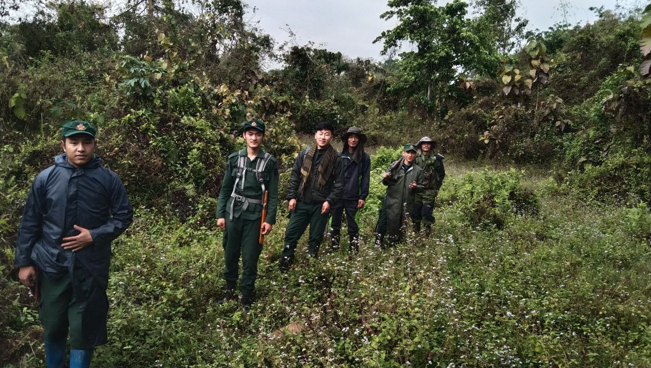
Strengthened Patrolling and Quick Response Teams for Forest and Wildlife Protection
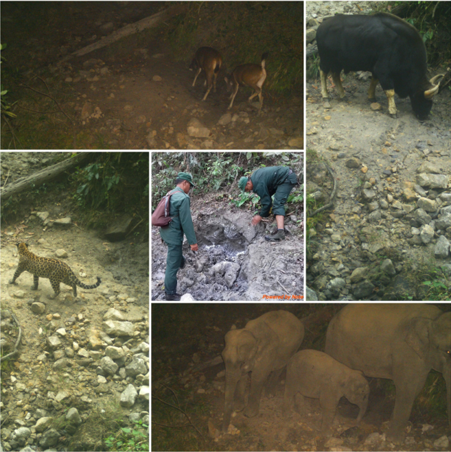
This building block enhances on-ground protection through dedicated patrolling teams and Quick Response Teams (QRTs) who respond to threats such as poaching, illegal harvesting, forest fires, and human–wildlife conflict. QRTs are trained to act quickly during emergencies, while regular foot and night patrols provide a strong deterrent against illegal activities, improving safety for wildlife and nearby communities.
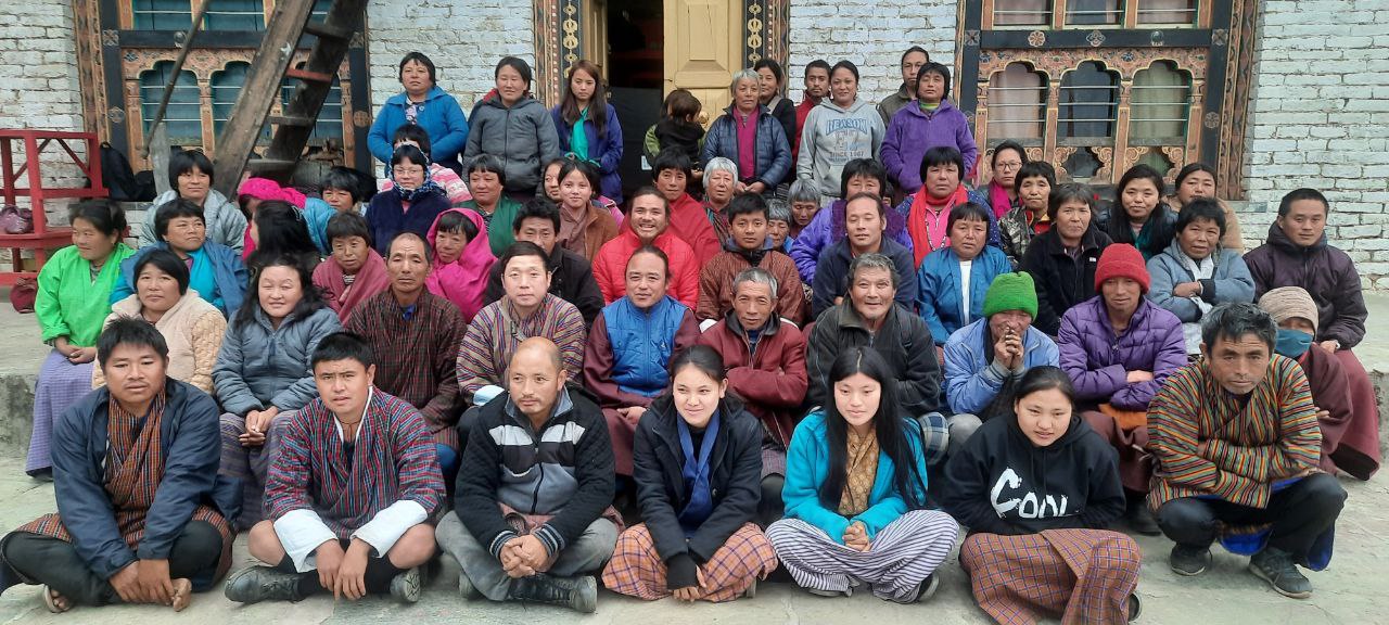
Local people do not join patrols but play an important role by informing the forest office about suspicious activities, wildlife movements, or potential conflicts. This early reporting system helps the QRT mobilize quickly and strengthens community–agency collaboration.
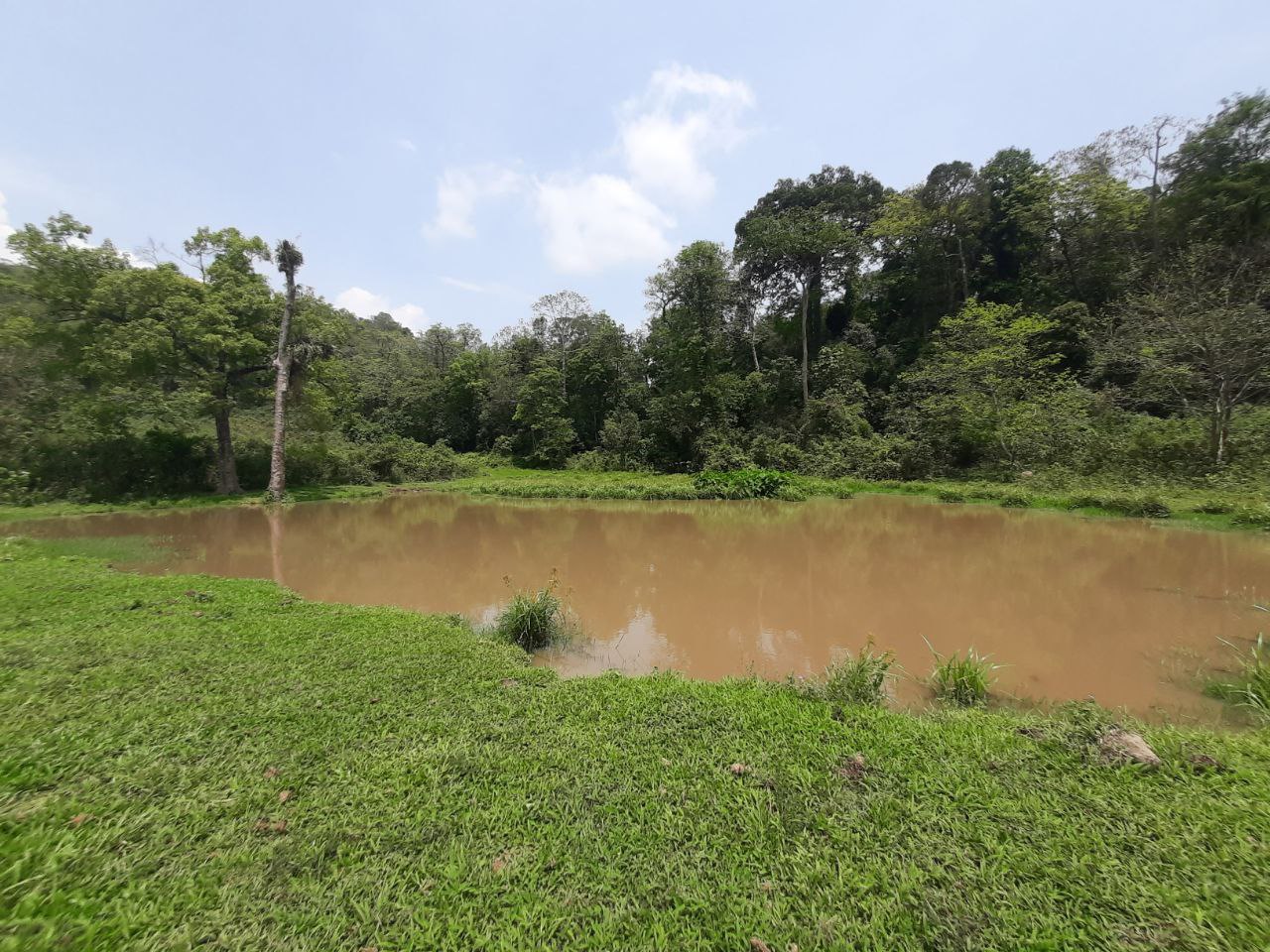
Improved protection allows other conservation activities—such as mineral lick restoration, habitat improvement, riverbank protection, and sustainable NWFP management—to succeed. By lowering disturbance and resource extraction, ecosystems stabilize and provide a foundation for sustainable livelihoods, eco-tourism development, and long-term climate resilience. This system builds public trust, encourages responsible behavior, and promotes shared responsibility for conservation.
Reliable communication channels with local residents for timely reporting.
Well-trained patrolling teams and QRTs with knowledge of wildlife behavior and safety.
Availability of essential field equipment such as communication devices, GPS, torch, and rain gear.
Support from local leaders and gewog administration.
Clear SOPs for emergency response and patrol duties.
Timely information from local communities greatly improves the effectiveness of QRT response, even if community members do not join patrols. Building trust is essential—when people feel safe reporting, the detection of illegal activities increases.
Challenges include difficult terrain, limited staff, and weather constraints. Continuous training and proper equipment improve response time and safety. Regular engagement with communities helps maintain information flow and reduces conflict cases.
A major lesson is that protection must be integrated with education and habitat restoration efforts. Patrolling alone cannot reduce threats unless supported by awareness and community cooperation. Recognizing community informants and maintaining open communication improves long-term collaboration.