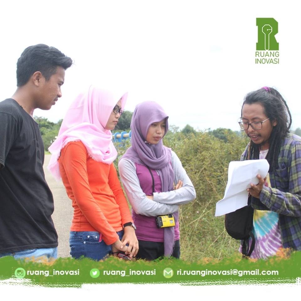

Merancang Ilir se encuentra a orillas del río Segah, en el distrito de Berau, Kalimantan Oriental (Indonesia). Es uno de los ríos más grandes de Berau. Suele ser utilizado por los barcos barcaza de las empresas mineras de aceite de palma y carbón para transportar aceite de palma crudo (CPO) y carbón. La mayoría de los pueblos situados al otro lado de este río son propiedad de estas empresas, que ocupan hasta el 80% de su territorio. Pero Merancang Ilir es un pueblo único, la gente todavía cree que sin esas empresas el pueblo todavía tiene prosperidad a través de la agricultura. También creen que dejar entrar a esas empresas no responderá a cómo aumentar la igualdad económica. Para apoyar esos sueños, pretendemos ayudarles a ser económicamente independientes en el sistema agrícola. Antes de empezar a actuar, tenemos que hacer un mapeo participativo para conocer con más detalle el potencial y los problemas actuales del pueblo. Utilizando el SIG y llevando a cabo su formación básica para los aldeanos, el pueblo puede establecer estrategias de desarrollo basadas en la agricultura y la agroindustria sostenibles.
- El pueblo y su administración comprenden el concepto y la técnica básica de cartografiar sus recursos potenciales tras la formación básica en SIG que impartimos.
- A partir de los resultados de la cartografía, el pueblo entiende cómo elaborar un plan a medio plazo.
- La administración de la aldea comprende las normas de la zona de desarrollo de la aldea (zona de conservación, zona agroindustrial y zona de investigación).
- Los aldeanos comprenden el concepto y la misión de esos planes y se convierten en actores activos para su ejecución.
- Utilizar las palabras más familiares y sencillas y deconstruir ideas complejas en ladrillos de ejemplos y analogías sencillas para explicarlas a la población local.
- Los lugareños entienden cómo elaborar un plan cartográfico, por ejemplo, qué datos están recopilando, cómo compilar esos datos y cómo hacer un análisis básico de esos datos e implementarlos en las políticas locales y en el plan de desarrollo del pueblo.
- Además de la cartografía espacial (información general sobre las condiciones geográficas y los límites administrativos), social (información general sobre el perfil de la población) y sectorial (información específica sobre el potencial o las condiciones de la aldea, como la agricultura, la educación, la sanidad, etc.), es necesario elaborar un mapa de los principales líderes para que el programa funcione sin problemas; además, la siguiente persona responsable o líder debe pertenecer a la comunidad local para garantizar la sostenibilidad futura del programa.
- Comprender con qué organismos gubernamentales hay que colaborar y cómo establecer una buena relación entre la aldea y esos organismos.