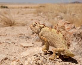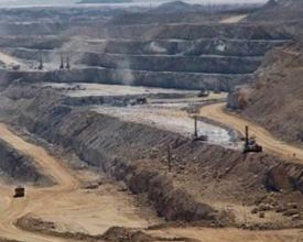
Evaluación de la vulnerabilidad de la biodiversidad y del uso de la tierra a nivel de paisaje, Namibia
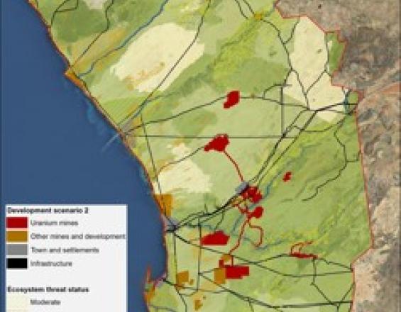
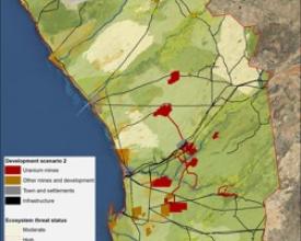
Fauna & Flora International (FFI) reconoce la necesidad de enfoques a nivel de paisaje para la conservación de la biodiversidad y la preservación de los servicios ecosistémicos. El enfoque de la Evaluación a Nivel de Paisaje (EBL) utiliza y analiza pruebas y datos espaciales para evaluar de forma transparente la importancia relativa de diferentes áreas en su contribución a los objetivos de conservación. También se utiliza para estimar los valores socioeconómicos de los activos naturales y evaluar la vulnerabilidad de la biodiversidad, los procesos ecológicos y los usos del suelo a las presiones actuales y futuras.
El LLA de Namibia constituye una herramienta viva de apoyo a la toma de decisiones que comprende una serie de mapas, informes técnicos, piezas de comunicación y una base de datos de información. Pueden utilizarse para orientar la planificación del uso del suelo y ayudar a los responsables de la toma de decisiones a comprender la importancia relativa de la biodiversidad y los procesos ecológicos en un paisaje.
Impactos
La herramienta de apoyo a la toma de decisiones puede utilizarse en Namibia para:
- fundamentar el desarrollo de políticas en torno a la planificación integrada y sostenible del uso del suelo
- Apoyar la aplicación de la Ley de Gestión Medioambiental mediante la aplicación de los principios de buenas prácticas para la aprobación de licencias de exploración y minería;
- informar sobre la planificación y priorización de la conservación para seguir reforzando la red de áreas de conservación;
- ayudar a identificar las zonas que no deben ser objeto de exploración y desarrollo;
- orientar cuando sea necesaria una evaluación detallada a nivel de emplazamiento;
- servir de base a los procesos de consulta relativos a cualquier nueva explotación propuesta en la región;
- proporcionar un contexto paisajístico que pueda ayudar a las partes interesadas a evaluar y gestionar sus impactos sobre la biodiversidad y los servicios ecosistémicos;
- identificar las zonas en las que la minería y otras presiones de desarrollo coinciden con altos valores turísticos;
- servir de base para avanzar en la planificación de compensaciones por pérdida de biodiversidad;
- apoyar una planificación integrada del uso del suelo que tenga en cuenta los valores medioambientales y socioeconómicos;
El LLA ha recibido un amplio apoyo del Gobierno, la industria, las ONG y los especialistas, y fue aprobado oficialmente por el Ministerio de Medio Ambiente y Turismo en 2012.
