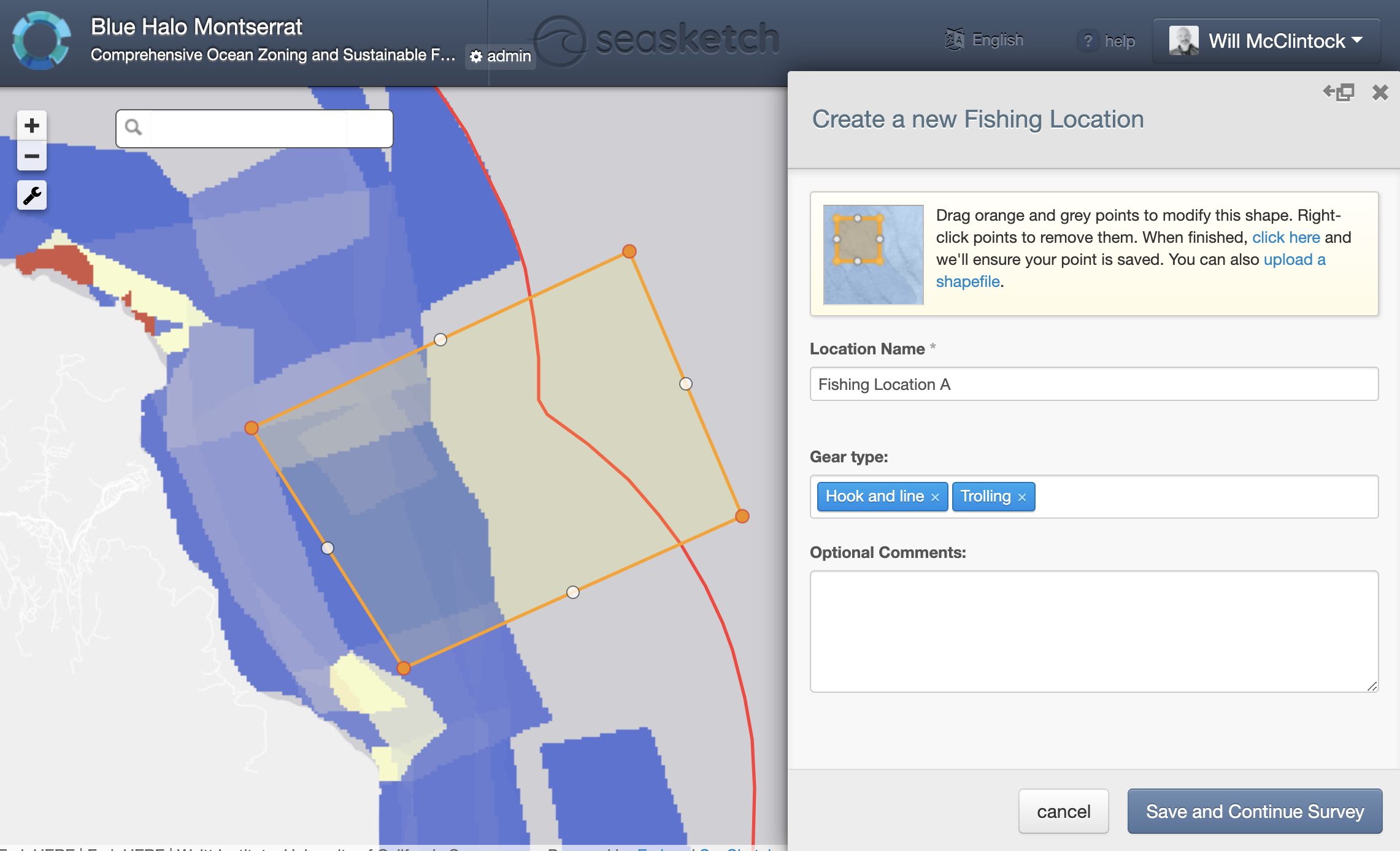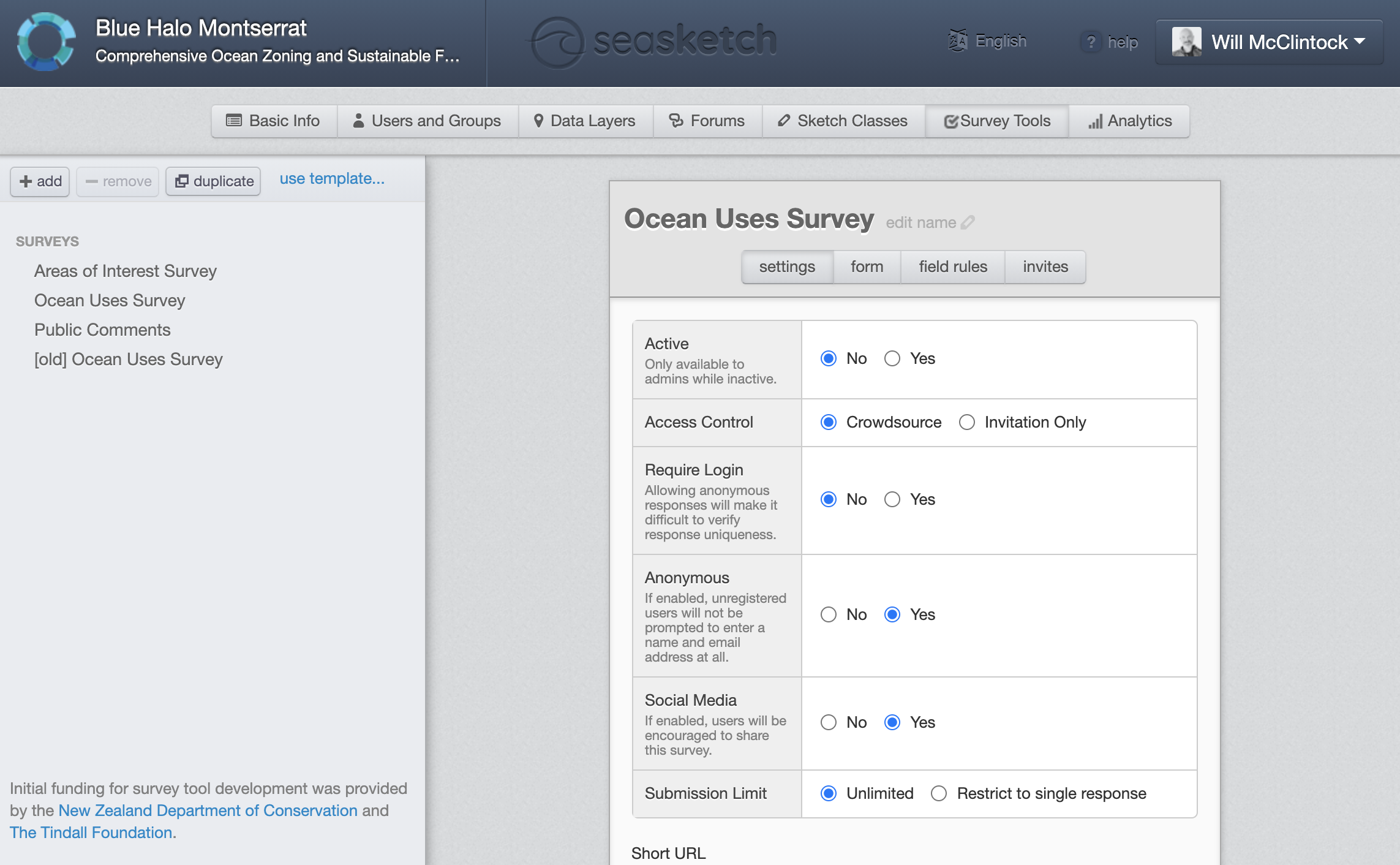


SeaSketch has features to develop and deploy spatial surveys that, for example, ask ocean users to identify valued or important areas (locations important for fishing, shipping, diving, aquaculture, traditional uses, etc.). Survey results may be used to create heatmaps that describe the distribution of valued areas. These results may be visualized (or not) and analysed when users draw prospective ocean zones to understand the potential value and impact of zoning scenarios.
Currently, SeaSketch surveys only work on a desktop computer with Internet connection. It does not work offline or on mobile devices. (The next version of SeaSketch which will be launched in January 2022 will be compatible with mobile devices. Shortly thereafter it will also work in an offline mode). So, plan on conducting surveys in an Internet-connected environment and using a desktop computer.
In many cases, surveys will require facilitation, particularly when the general population does not have personal computers.
While it's easy to develop a survey in SeaSketch, it's not always easy to do it from a scientifically defensible perspective. Consider working with a social scientist who can help you create a survey that uses well-established survey techniques.
Consider training a team of survey facilitators that can survey the local populations in person by meeting them at the docks, beach, cafes, institutions, etc. These facilitators should be trained in communicating the structure of the planning process and, in particular, how survey responses will be treated and used in planning.
Keep surveys very simple. The simpler the survey, the higher response rate you can expect. Scientists and planners are often keen on gathering as much information as possible from stakeholders. Resist the temptation to ask more questions that you absolutely need to properly engage stakeholders and do marine spatial planning.