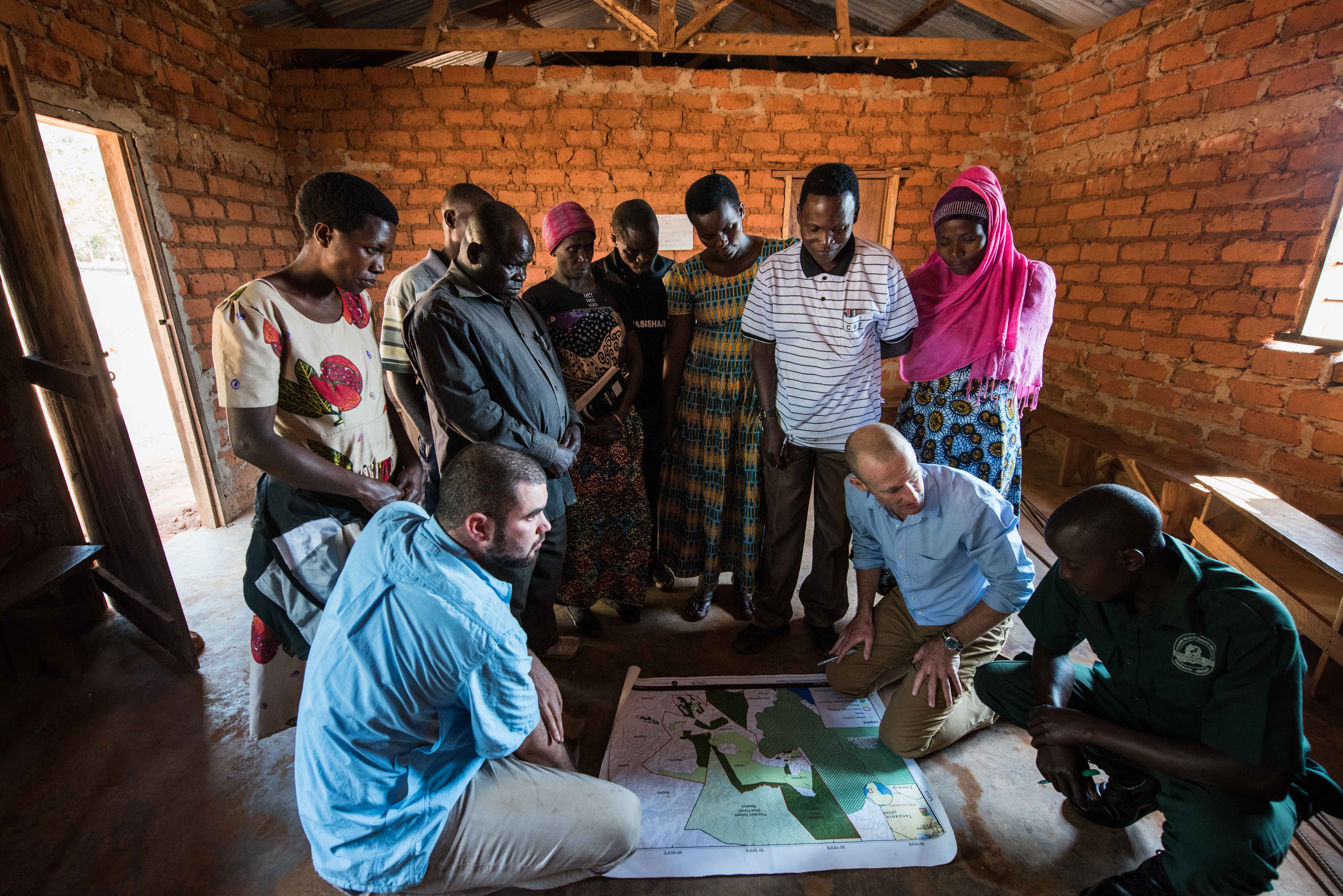

Indigenous people are the most effective stewards of forest ecosystems, and the success of the Ntakata Mountains REDD project can be directly attributed to the involvement of the forest communities who live in and depend on the forests for their livelihoods. By working with indigenous peoples and forest communities who legally own and manage their natural resources we can ensure they directly benefit from both the protection of their natural resources and the carbon finance that is generated through the project’s activities.
Land use plans that are determined and demarcated by community members increases local awareness and reduces conflict.
Local resource owners are directly involved in the development of the Ntakata Mountains REDD project from the beginning with introductory meetings with the project villages and communities that focus on free, prior, and informed consent (FPIC). Participatory land use management then begins with the communities determining how their land use plans will be zoned and agreeing on boundaries. Once all community members agree to the established land use plans, the boundaries of the Village Land Forest Reserves are then demarcated to facilitate protection.
The forest communities at the heart of the project must have legal ownership and management rights over their natural resources with clearly defined boundaries.
One of the most important lessons learnt from the development of the REDD project is that once indigenous and forest peoples have the legal rights and associated land tenure over their natural resources, and once the tools to implement forest protection activities have been collaboratively developed, the forest is effectively protected.