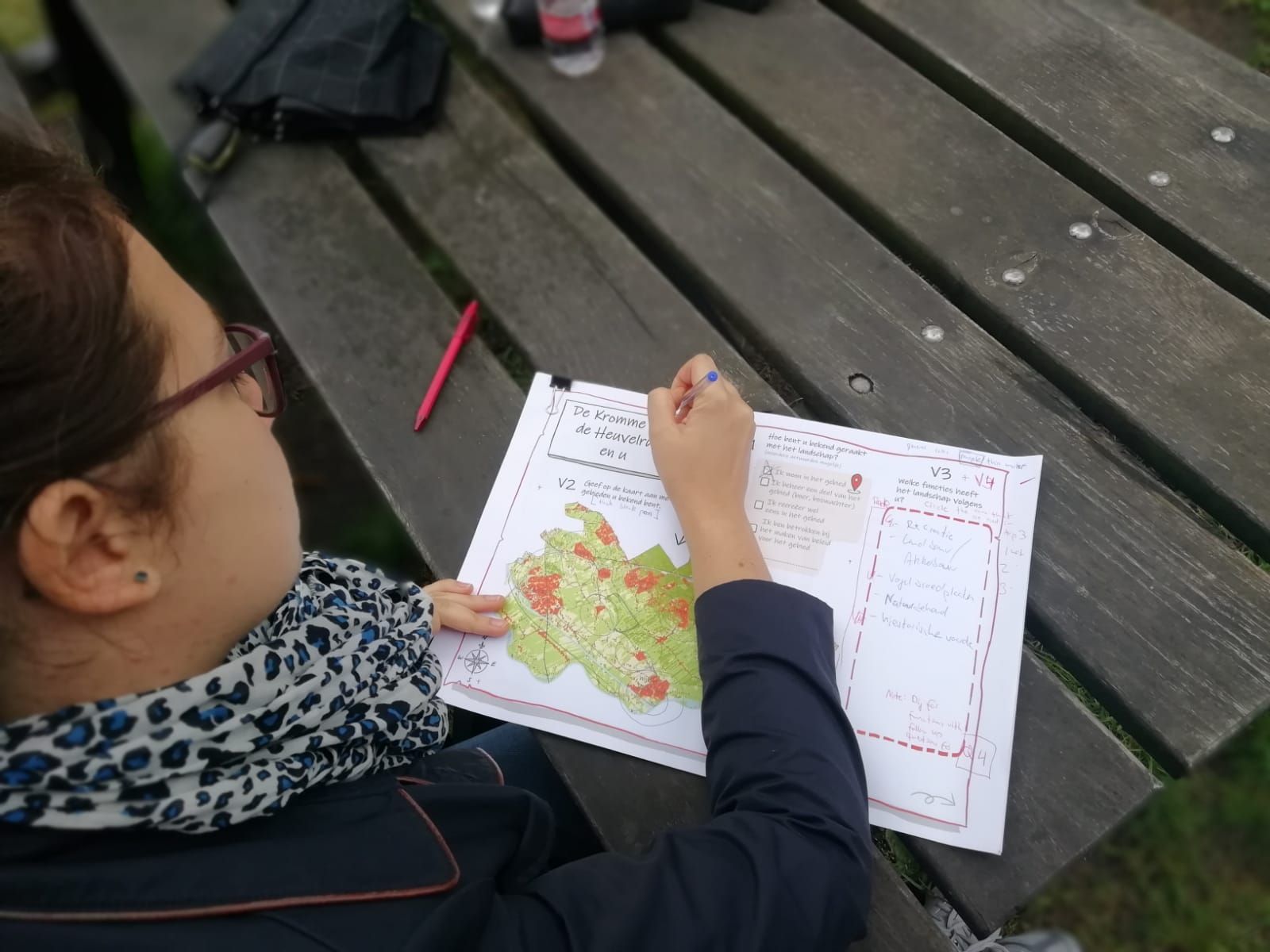

This building block aims to collect necessary data from a diverse group of local actors (stakeholders, residents and others) that will allow to identify their visions for the landscape and protected areas in it. To do so we employed in-person interviews with elements of participatory mapping and art-based visuals. To guide the interviews, we used an approach called STREAMLINE, a series of A3 laminated canvas on which respondents were answering questions. This questions and canvas were organized around a narrative making it more intuitive and engaging for respondents. They started with establishing their relationship to the area, which parts of it they knew and then progressed to asking questions about importance of different landscape functions and how and where respondents wanted this landscape to develop.
Such approaches as STREAMLINE that obtain data by using more interactive format can put respondents at ease, allow them to imagine the situation rather than answer a series of questions and overall have a more involved and satisfactory experience. Inclusion of mapping elements serves two purposes – not only it ensures that respondents are considering a specific place when responding to questions, but also allows them to recall elements that otherwise might not have been mentioned.
Such interactive methods are suitable for obtaining data on what stakeholders value in the landscape and where these values are located. They are also appealing to wide audience and can be used both with lay-people and experts, people of different age groups. They create a more relaxed and less scientific atmosphere, while still capturing necessary information. However, in order for it to work, several points need to be considered. The most important being that canvas need to be pre-tested several times in order to make sure that the storyline is clear and easy to follow.