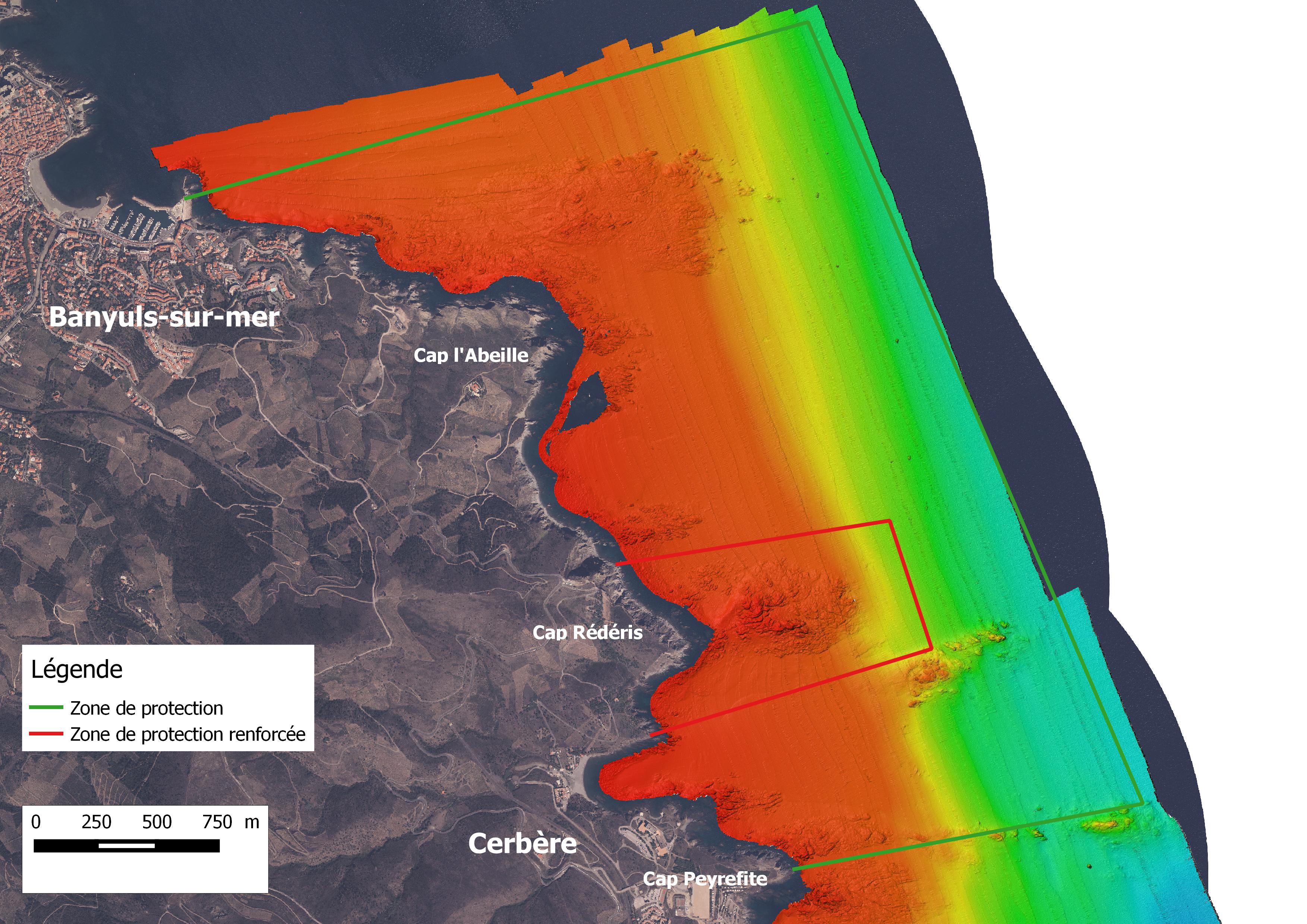

The University of Perpignan is a long-standing partner of the Reserve, and a number of academics are members of the Reserve's Scientific Council and are regularly involved in numerous monitoring projects. They took part in the drafting of the latest 2015-2019 management plan, helping to define the manager's expectations and responses to the various problems encountered. The proximity of the site makes the Reserve a veritable open-air laboratory for these researchers. The University of Perpignan had already mapped the Reserve's rocky substrates in 3D to an accuracy of 30 cm (see PJ). This mapping enabled us to gain a better understanding of the area and adapt the means used to obtain results of such precision. Thanks to this knowledge of the terrain, our mastery of this technical equipment and the expectations of the Gestionnaie through precise specifications, we were able to obtain an appropriate and fair price for this monitoring project.
It was important to identify the partners capable of meeting the manager's expectations. The numerous monitoring projects carried out in this field have enabled us to adapt the objectives and fill in the gaps left by previous studies. The partners' knowledge of the field helped us to carry out this study. Last but not least, the mastery of the various tools used during the study enabled the monitoring to be carried out in an optimal manner.
A large number of upstream exchanges were necessary to carry out this monitoring. New technologies have made it possible to fill in the gaps identified in previous studies. Thanks to these new resources, it was necessary to identify the right partners from the outset. This preparation enabled us to target expectations and thus reduce the cost of monitoring.