Establishing the basis for Marine Spatial Planning in the Azores through a participatory process
Full Solution

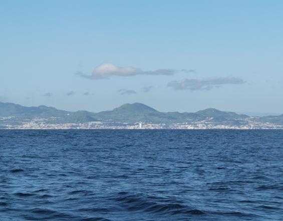
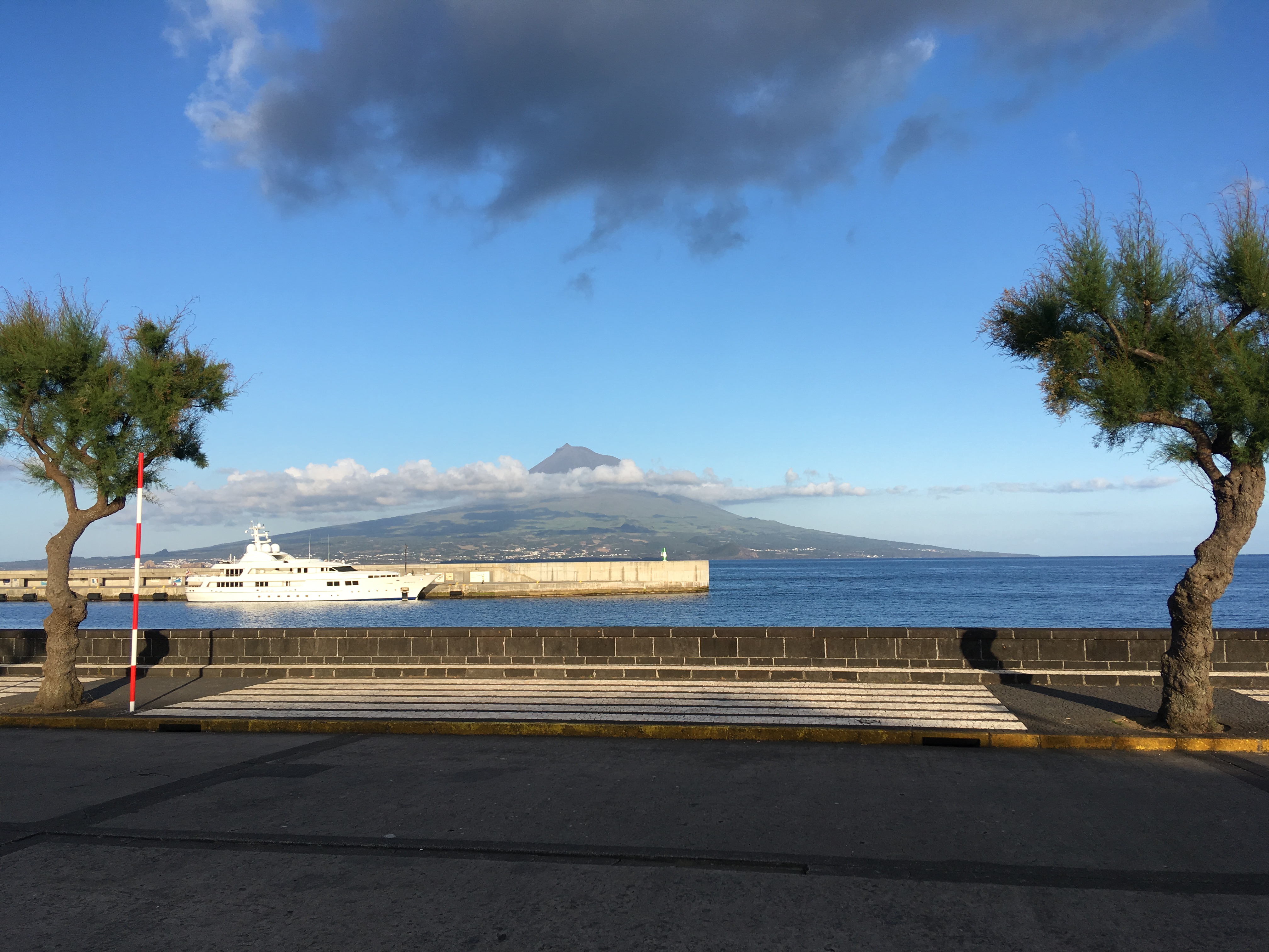
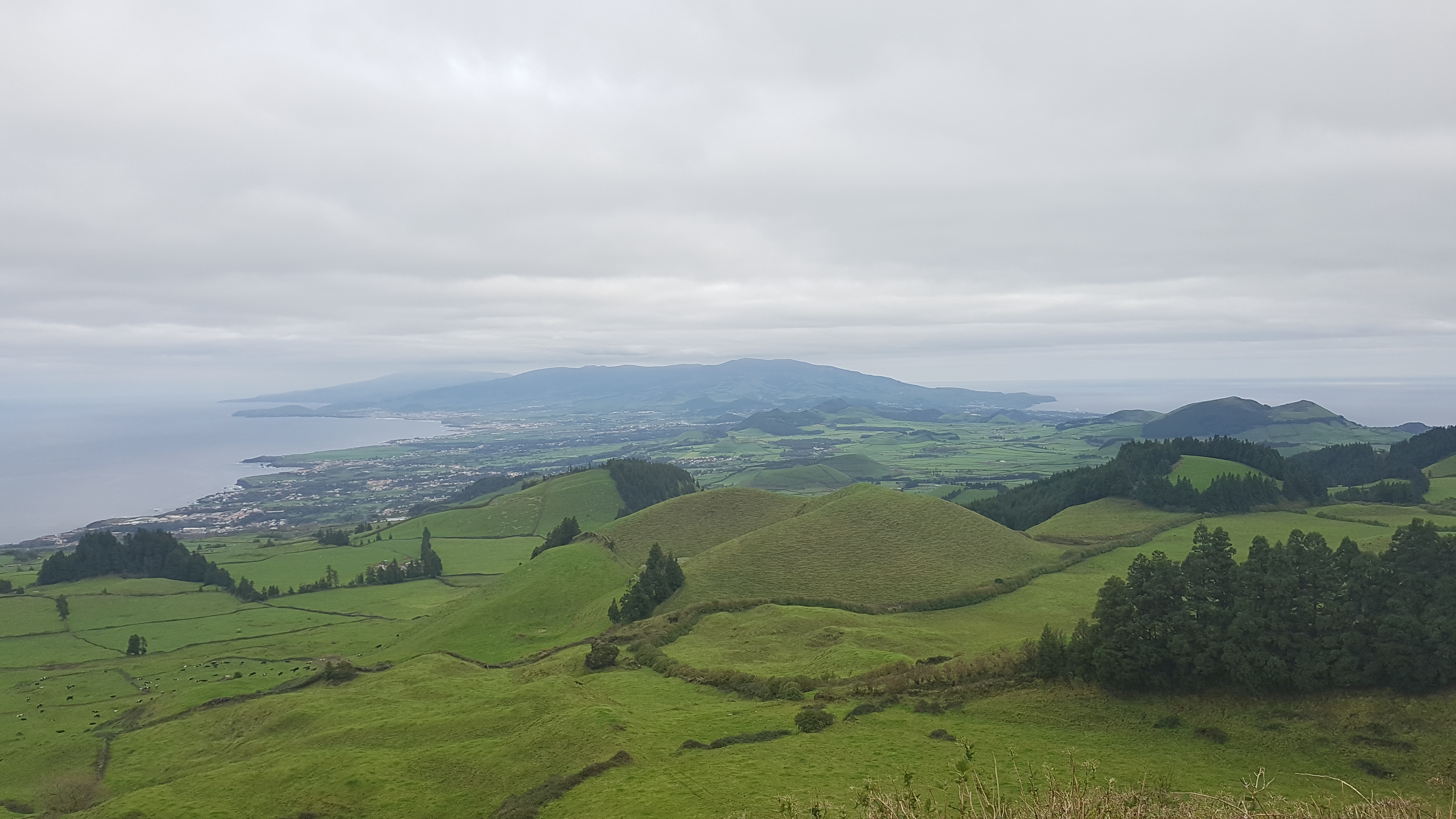
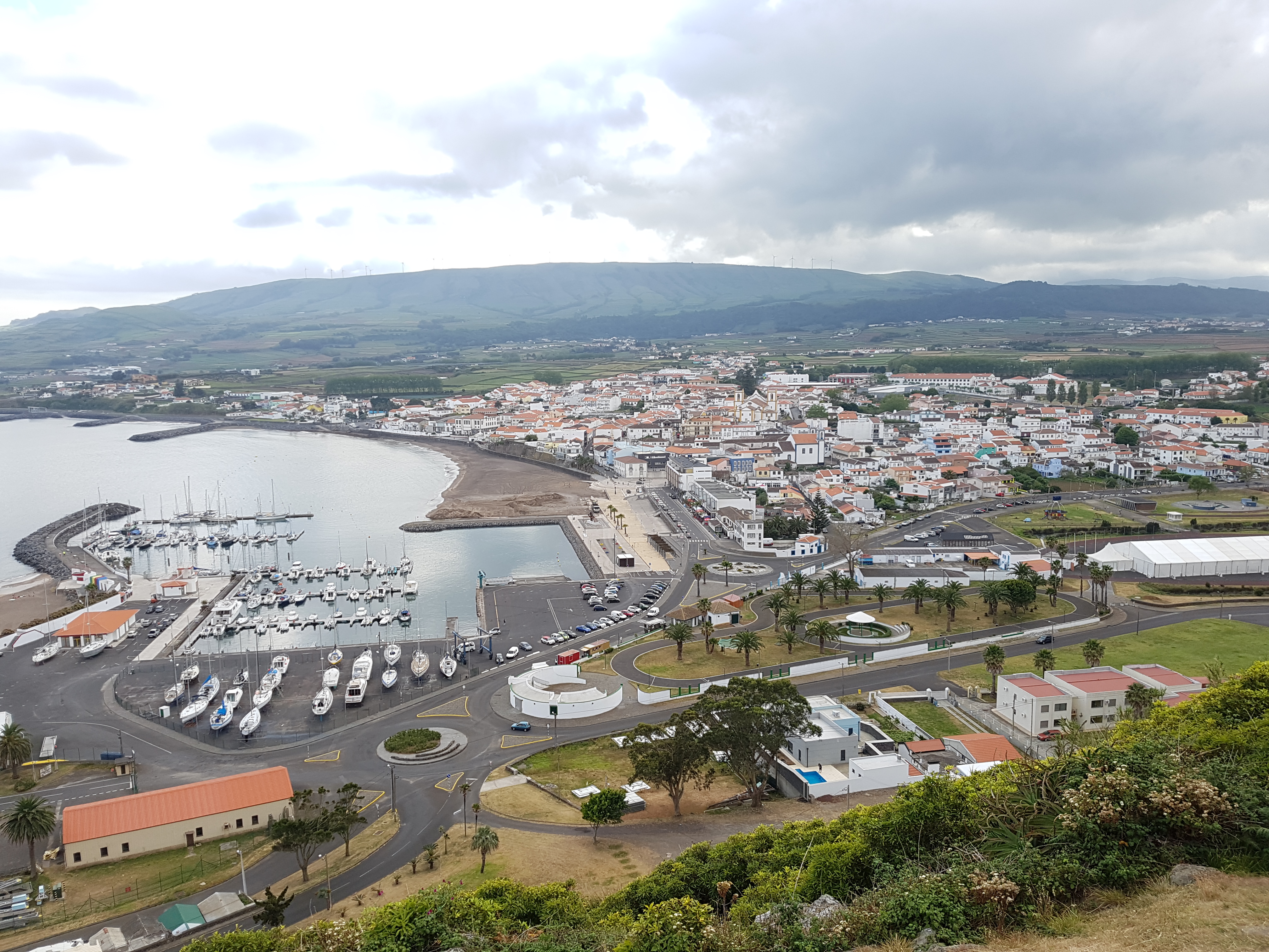
Seascape of the island of São Miguel
Mario Caña
In the middle of the North Atlantic is the Azores, an archipelago of nine islands. Despite their small size, the surrounding maritime space of the islands accounts for almost 1 million square kilometres. Under the European Union (EU) and Portugal legal frameworks for Maritime Spatial Planning (MSP), the autonomous region of the Azores, led by Regional Directorate for Sea Affairs (DRAM), is required to develop its Situation Plan. This is the main MSP policy instrument in Portugal. The Macaronesian Maritime Spatial Planning (MarSP) project came into being to support the development of the maritime spatial plans in the archipelagos of the Macaronesia region (Azores, Canary Islands and Madeira). This pilot project built capacities and tools to implement MSP in these EU outermost regions from 2018 to 2019. The team in the Azores developed innovative methodologies to approach the initial steps of the planning process, where the participation of stakeholders and citizens had a central role.
Last update: 22 Feb 2021
5189 Views


Context
Challenges addressed
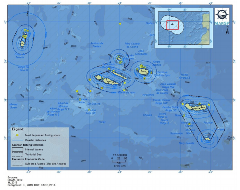
- The 9 islands of the archipelago are scattered along an area of approximately 600 kilometers. This means there is a vast maritime space of almost 1 million sq.km. to be planned, managed and surveyed.
- The remote location of the Azores archipelago, in the middle of the North Atlantic, determines its geographical isolation. This, together with the small size of the islands, increase its dependency on the sea and maritime activities, which lead to conflicts among the sectors, particularly in coastal areas.
- Limited human and financial resources to develop an inclusive process of stakeholders’ engagement across the nine islands.
- Ensuring the participation and representativeness of stakeholders within each maritime sector.
- Striking the balance between meeting the needs of the MSP policy framework and the requirements of the EU project (e.g. reporting in Portuguese versus English).
Location
Azores
West and South Europe
Process
Summary of the process
The building block 1 (BB1) interacts with all the other blocks. The stakeholder engagement process was crucial to validate the different steps and outputs of the project but also to collect new data and information. After the validation of the vision and objectives (building block 2 - BB2), the outcomes were used to build the development Scenarios for the Azores (building block 3 - BB3). Building block 4 (BB4), which includes the analysis of maritime sectors, was fed with the results of the participatory process and literature review. Building block 5 (BB5) integrates geospacialized data collected and validated along the participatory process (both stakeholder workshops and individual interviews).
Building Blocks
BB1. Organising stakeholder engagement and public participation
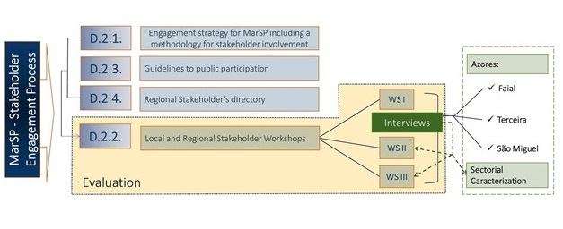
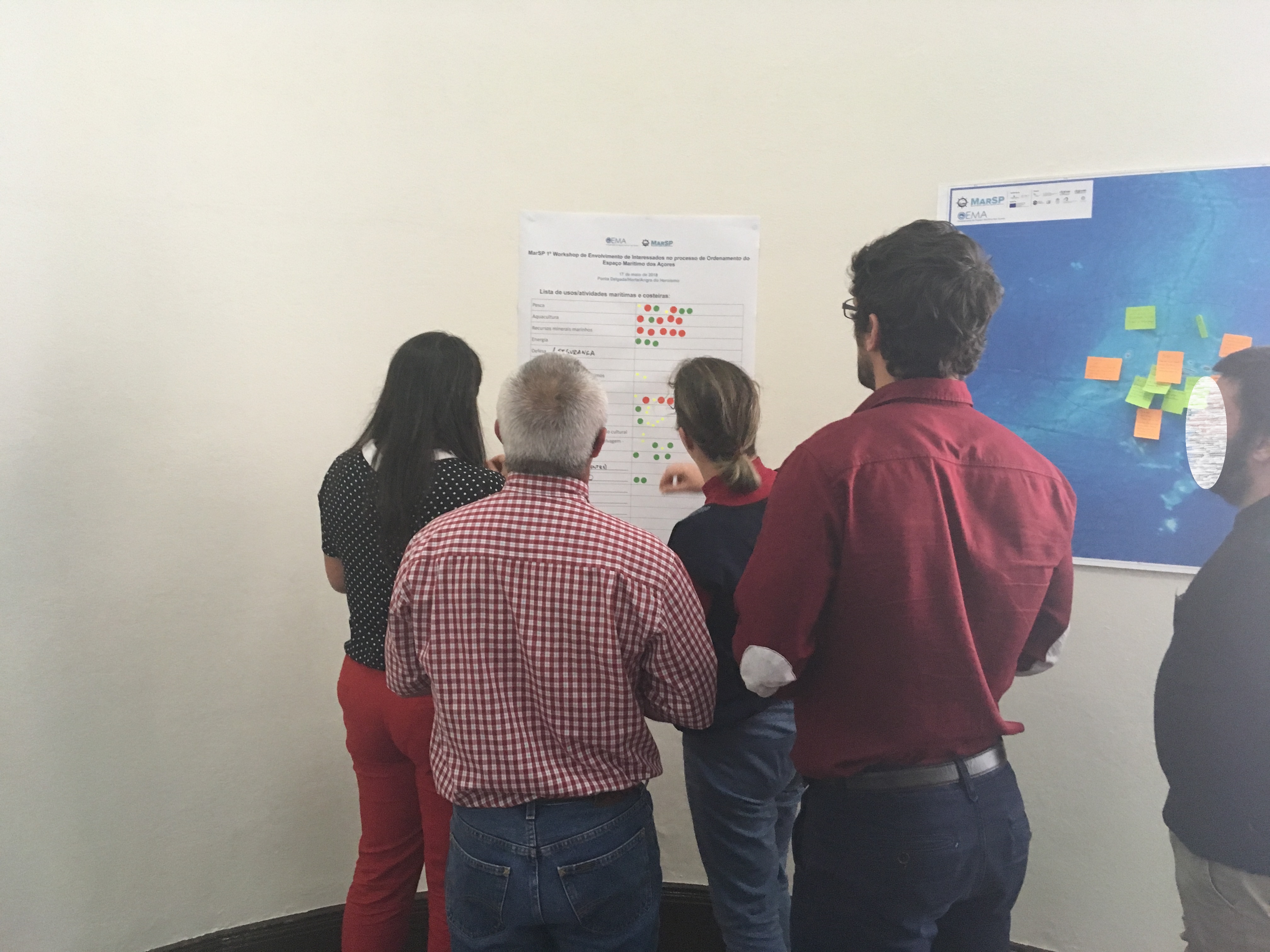
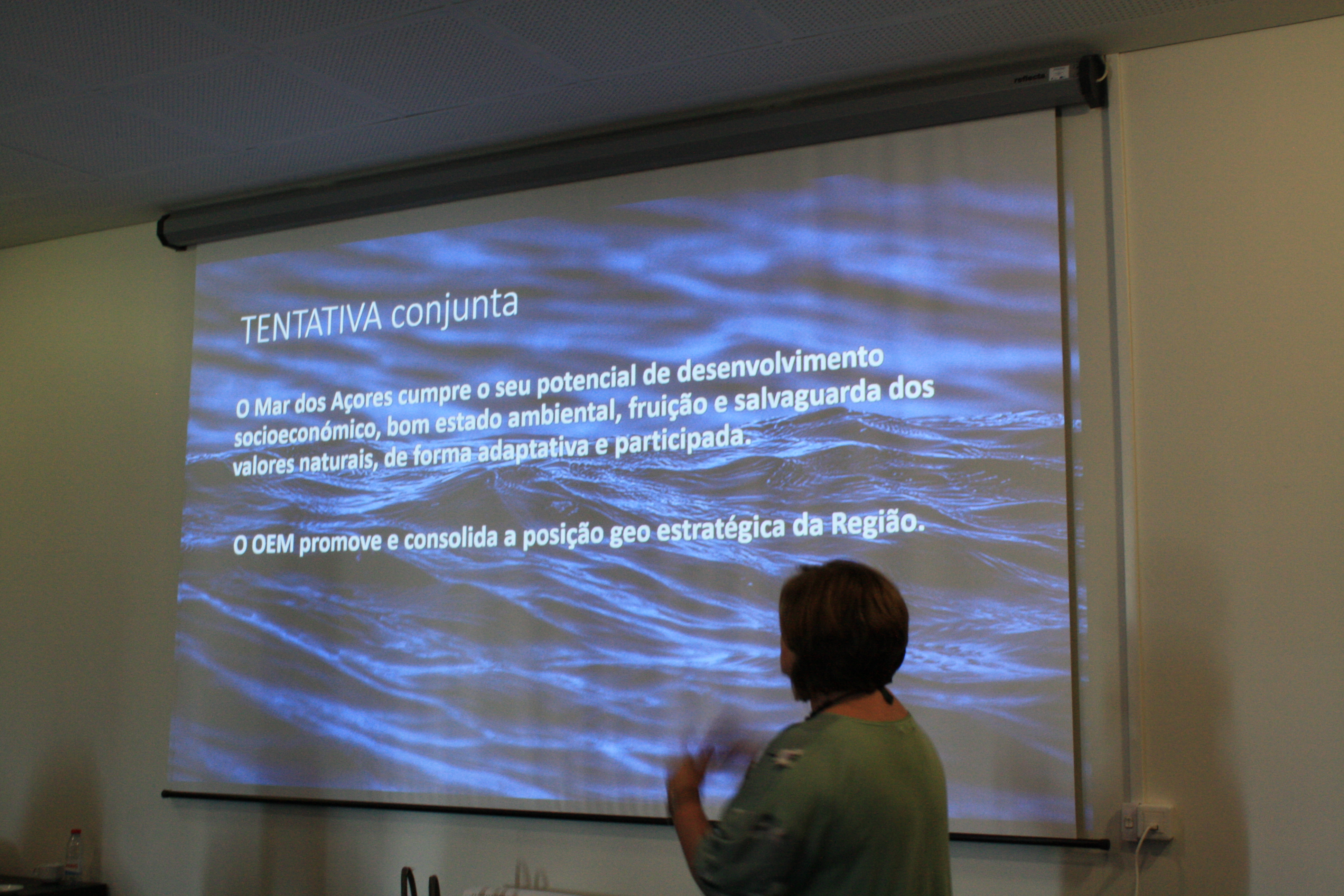
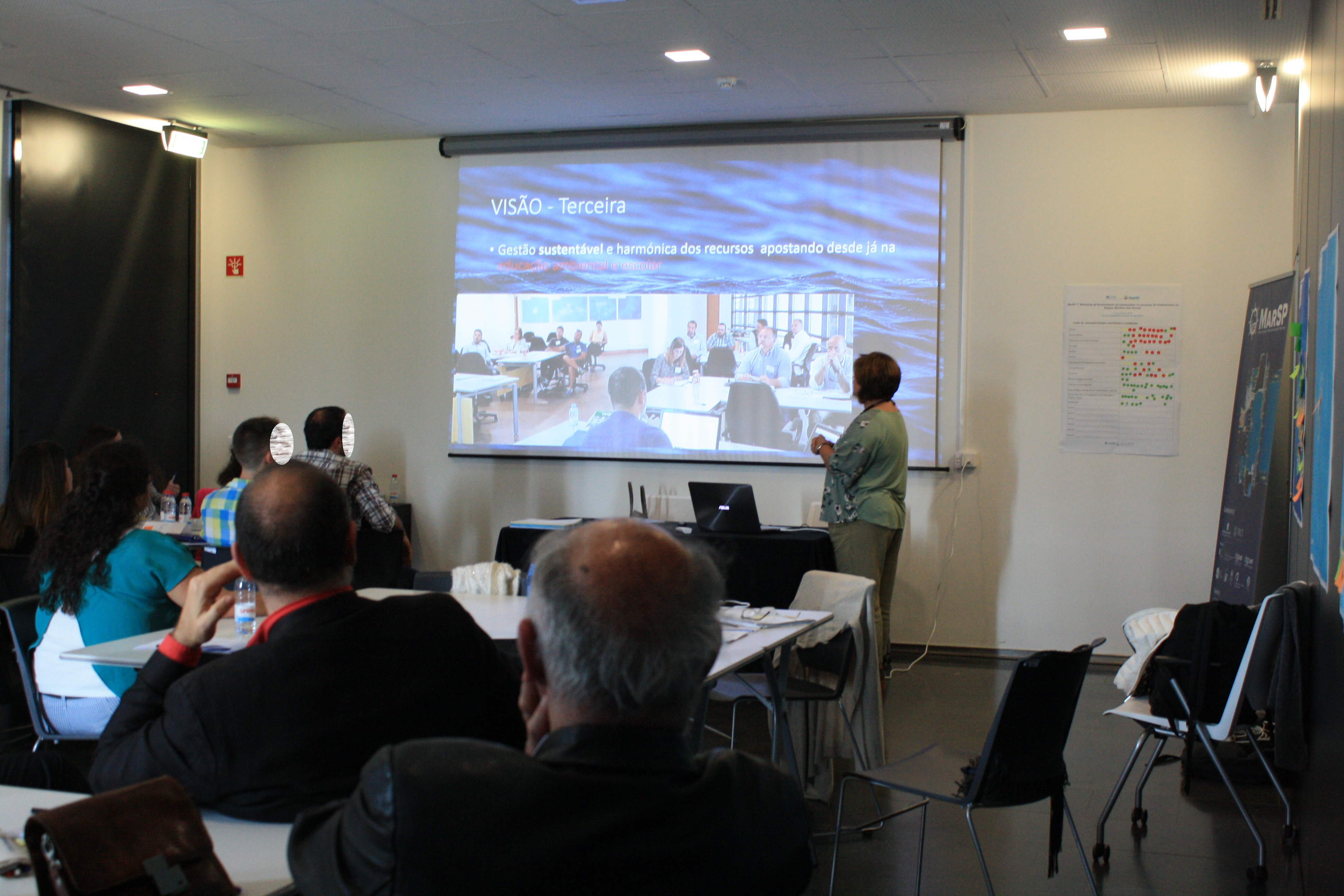
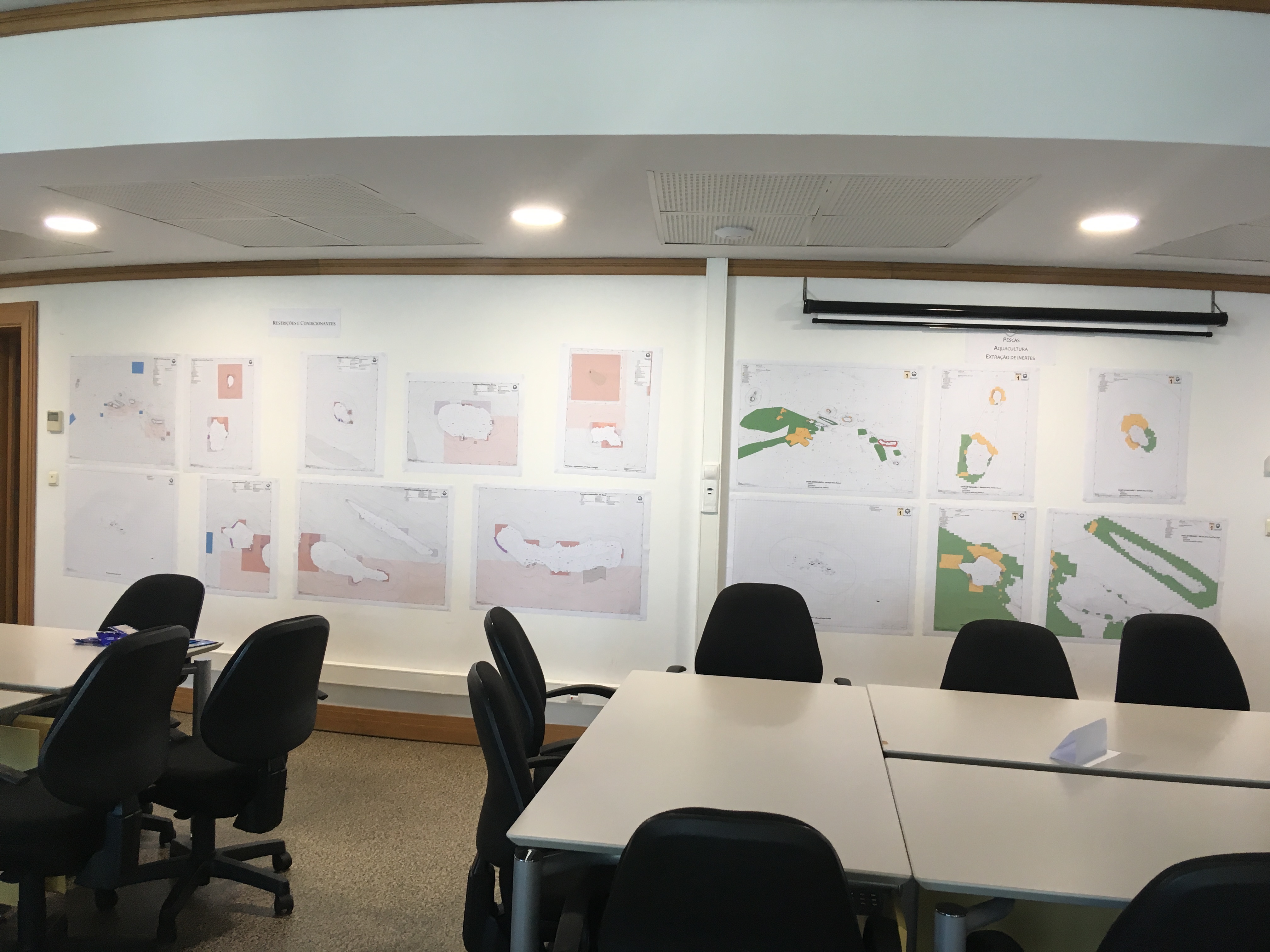
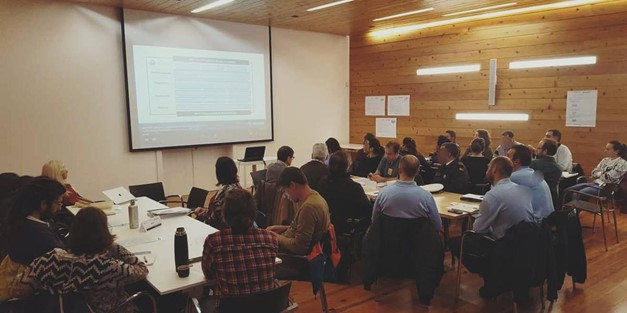
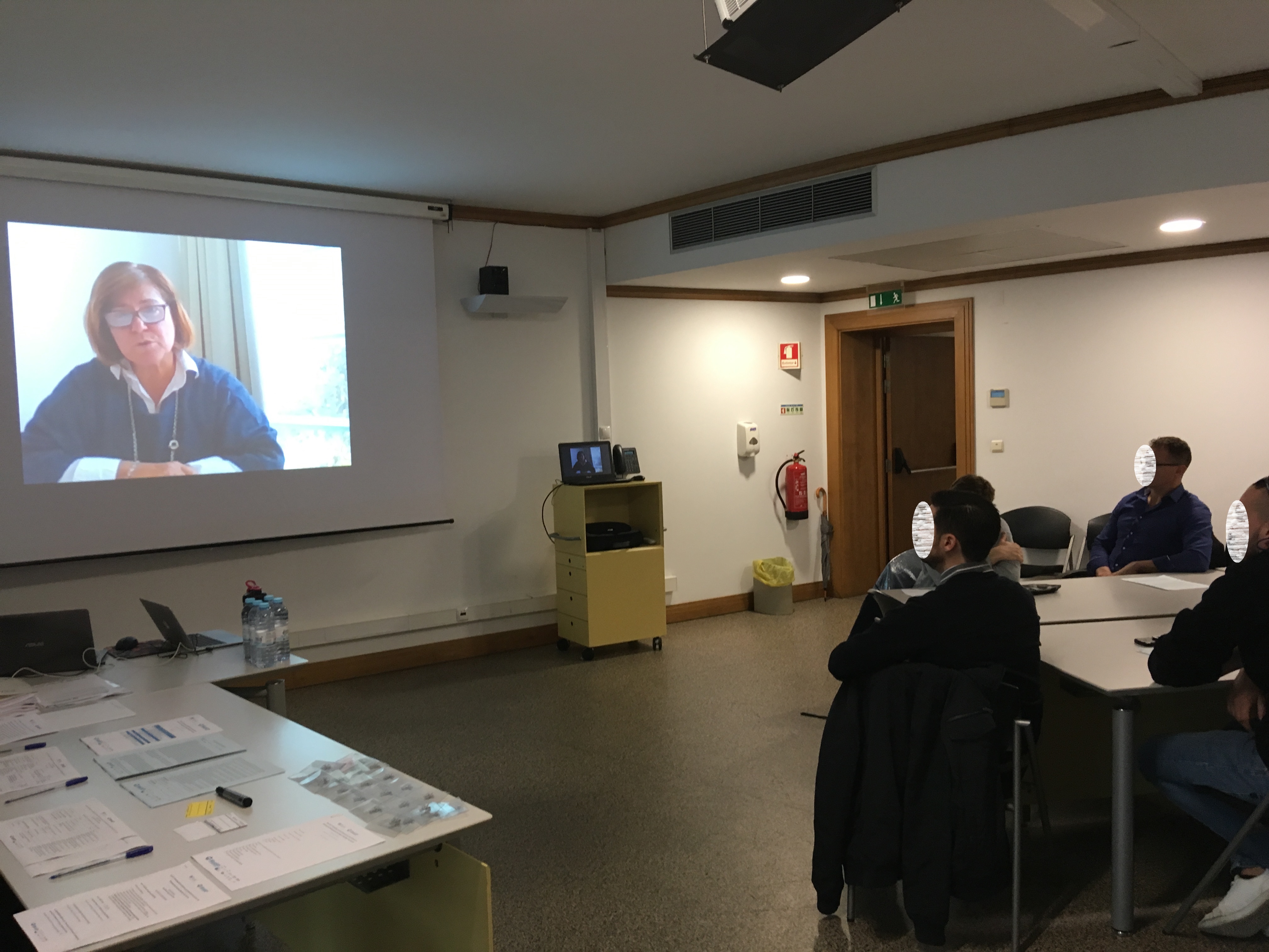
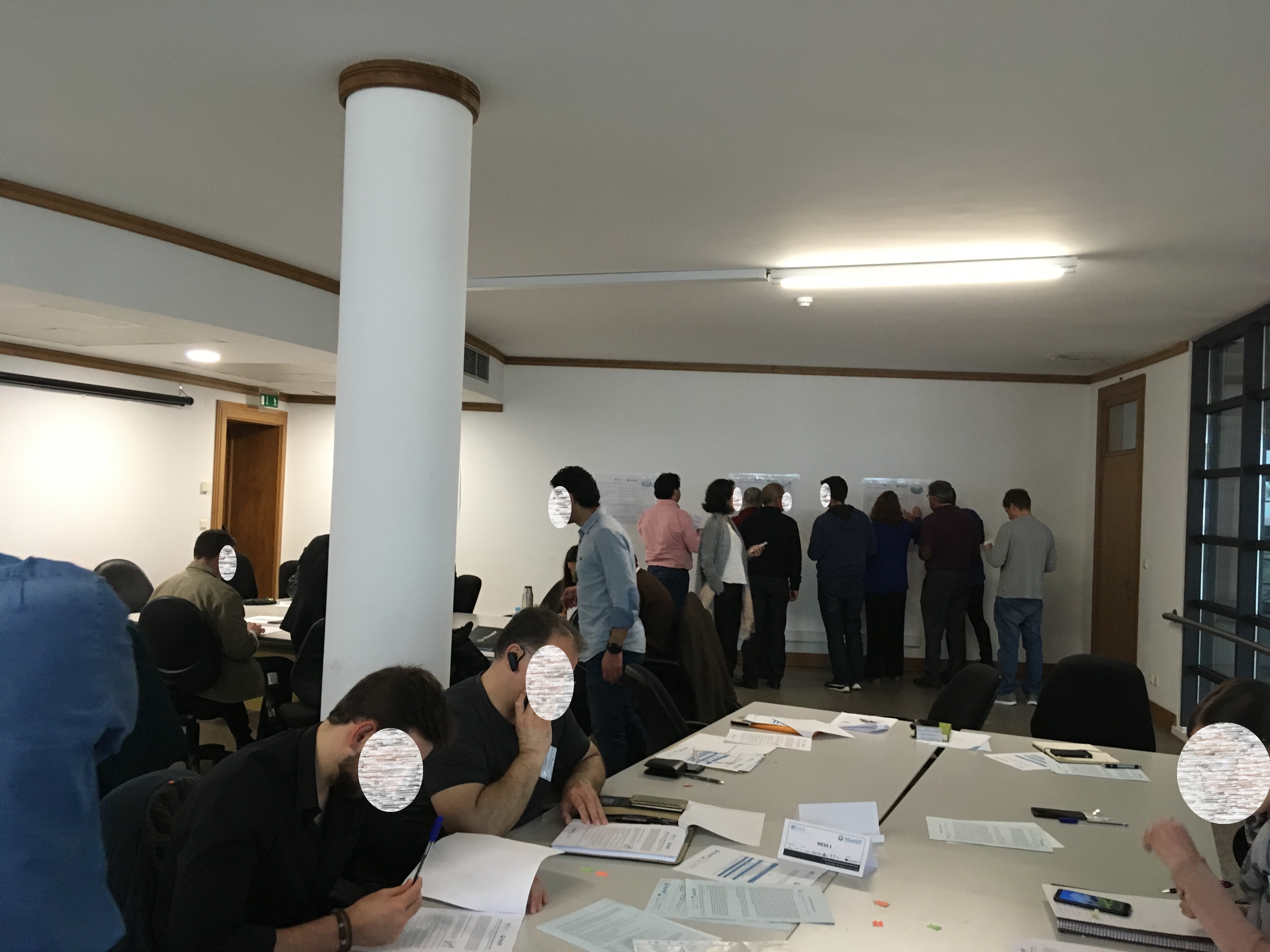
The Maritime Spatial Plan of the Azores was designed in a transparent and inclusive process, with the active involvement of a wide range of stakeholders. A strategy for stakeholder engagement and guidelines for public participation were drafted for this purpose. The engagement was designed in a series of three stakeholder workshops held simultaneously in the three most populated islands of the archipelago (São Miguel, Terceira and Faial). The workshops had the same structure, which combined communication about the MSP progress as well as activities to discuss, complement and validate the project outcomes. Prior to the workshops, stakeholders were mapped using the snowball technique. All identified stakeholders were assembled in the regional stakeholder directory and invited to participate in the events over the two years of the project. Complementary activities such as interviews were undertaken to fill important knowledge gaps related to specific maritime sectors.
Enabling factors
- Planning and undertaking a transparent and inclusive participatory process.
- Widespread coverage of the entire archipelago, enabling the participation of stakeholders of the nine islands.
- Timely organisation and coordination among the team members, enabling communication and exchange among the simultaneous workshops in the three islands.
- Collaboration of colleagues and volunteers to support and moderate the workshops.
- Communicating and giving feedback to stakeholders on the results of the workshops.
Lesson learned
- Stakeholders need to be contacted well in advance to get a good response.
- Good coordination and organisation among the team members and in the preparation of the materials is essential for timely implementation of the workshop activities.
- The development of a visualisation tools could help to decrease the ecological footprint of this type of workshops (most materials were paper) and decrease the time spent in the organization of the materials.
- Lack of data; multiplicity of reference systems or its nonexistence; the information dispersed both in terms of responsible entities and types of data (digital, analogue, etc.), affected the development of materials.
- Large workload to try to standardize all the information in order to be able to use it in a GIS system.
- Entities take too long to collect and make information available hindering the team's work.
Resources
BB2. Creating a vision and objectives for MSP
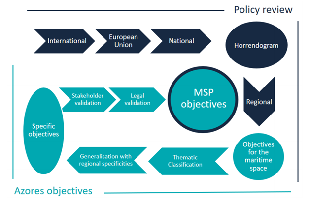
Setting a vision and objectives is a fundamental initial step in all maritime spatial plans. Under the MarSP project, a methodology was created to develop MSP objectives. This methodology linked MSP objectives to established policy commitments of these archipelagos at the international, EU, national and regional levels. It was adopted in the Azores following these phases:
- Policy review: review of marine policy to determine the objectives targeting the maritime space. The Portuguese policy horrendogram helped in the selection of policies.
- Thematic classification of the objectives by themes and subthemes.
- Generalisation of objectives by subthemes to obtain specific objectives.
- Discussion, prioritisation and validation of specific objectives by stakeholders.
- Legal validation and cross-check with MSP policy documents to finalise the MSP objectives.
During the first MSP stakeholder workshop in the Azores, stakeholders were asked to discuss and validate the specific objectives. This was also the case for the proposal of a regional MSP vision, also discussed and validated in the stakeholder workshop.
Enabling factors
- The validation of objectives by stakeholders was included in the methodology since its inception to ensure the participatory approach and social acceptance.
- Methodologies need to be properly communicated to ensure the understanding of scientific methods by stakeholders. A brief communication on the methodology was given prior to the stakeholder participation.
- The discussion of objectives allowed the inclusion of stakeholders’ inputs.
- Activities with stakeholders need guidance to facilitate a smooth discussion and acceptable results.
Lesson learned
- The review of various marine policies at different geographical levels result in multiple objectives for the maritime space. This may make the task of reaching MSP objectives difficult.
- The review of all policy commitments is very comprehensive and requires prioritisation of the most significant policies. The most significant policies at each geographical scale were selected.
- After the stakeholders’ inputs and validation, there was a final phase to cross check the resulting objectives with the MSP policy. This allowed both the legal validation of inputs given by stakeholders and also ensuring their compliance with the legal obligations given by MSP policy.
- Certain objectives go beyond the legal scope of MSP (e.g. some sectorial objectives). Despite not being included in the list of MSP objectives, they were considered in the frame of this policy.
- Obtaining SMART (Specific, Measurable, Achievable, Realistic, Time-bound) objectives requires firm commitment in setting the time frame for the objectives.
BB3. Building scenarios for MSP
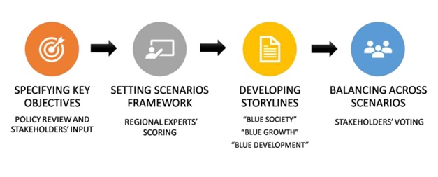
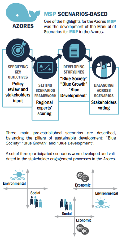
The Maritime Spatial Planning process plans towards a desired future and a common vision. The vision is usually an integration of various aspirations from different stakeholders and sectors that depend on the governance framework ruling them. A tool as scenarios’ development is of high importance, once it helps decision-makers visualize both the future that might unfold due to specific actions/policies and the actions/policies needed to make a certain future happen. For the region of Azores, MarSP adopted a scenario-building process based on a combination of two approaches: an exploratory (“what can be done?”) and a normative (“how a specific objective will be reached?”).
The methodology is structured in four main steps (Figure 1):
(i) setting MSP objectives based on policy review and following stakeholders’ inputs (BB2);
(ii) identifying key objectives after consultation with regional experts;
(iii) developing scenario storylines; and
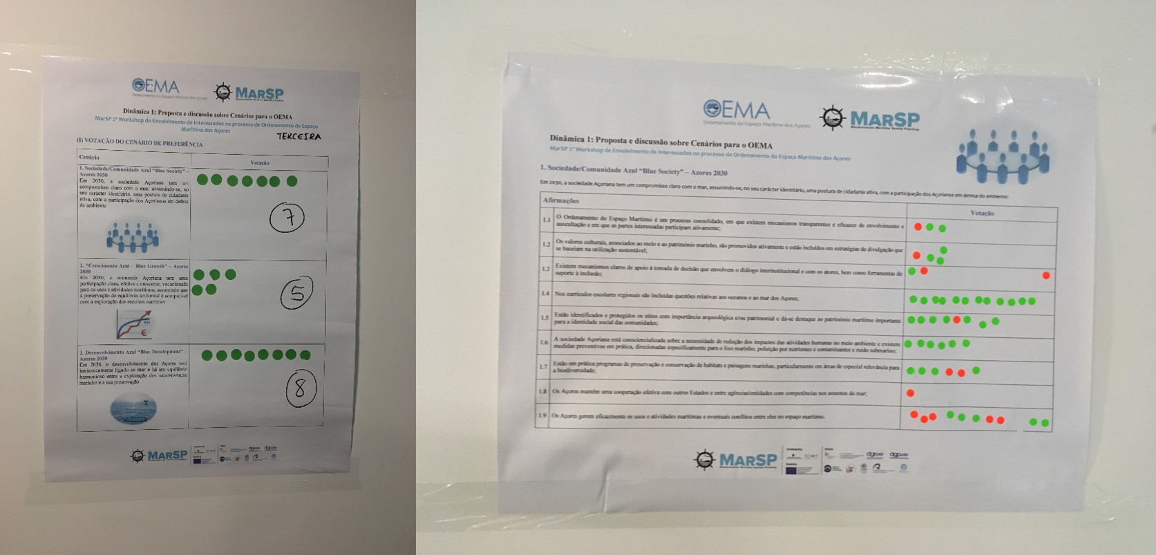
(iv) balancing across scenarios based on feedback from stakeholders gathered through engagement actions (including, first, (i) a vote on the scenario and, second, (ii) a vote on the sentences that built the storyline of the scenarios).
Enabling factors
- A stakeholders’ engagement methodology defined in the beginning of the process, connecting the different steps along the process.
- Existence of a MSP vision and objectives built upon a participatory process allowed the construction of more tailored scenarios for the region.
- Previous workshops for experts and stakeholders’ engagement and sharing of the results set the path for their increasing willingness to participate and collaborate.
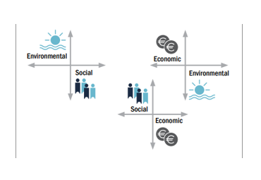
- Experts classification of objectives on themes: environmental; social; economic, was the basis to create robust storylines.
Lesson learned
Amongst the three proposed scenarios (one economic oriented, one environmental oriented and one social oriented), stakeholders voted for the environmental scenario. However, they selected more sentences from the economic scenario, suggesting that participants are ideologically willing to protect the environment but less willing to take the needed actions to make that scenario actually happen.
BB4. Sector analysis and briefings
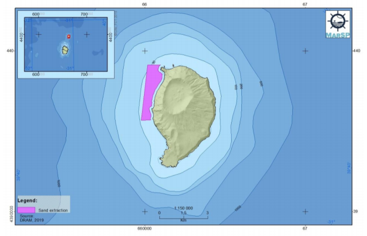
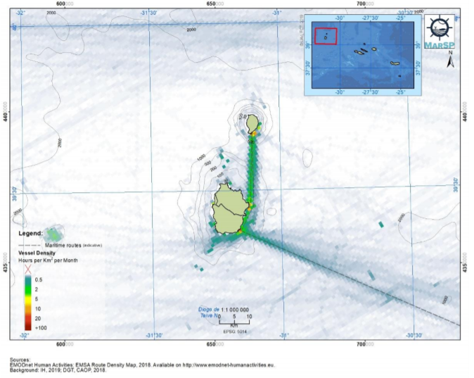
In order to understand the current and potential situation of maritime uses and activities in the Azores, an extensive sector analysis was elaborated, including nine sectors. For each maritime sector identified in the region, a sector briefing was done. Each sector briefing includes information relating to its characterization, the relevant legal framework, current and potential spatial distribution, a SWOT analysis, an analysis of interactions (with other sectors, with the environment and land-sea interactions), as well as an analysis of pressures resulting from different drivers of change (e.g. climate change, demographic changes and blue growth policies). This work involved an extensive collection of information, both through literature review and collected from stakeholders during the engagement process.
Enabling factors
- Sector analyses are essential to understand the current scenario.
- A significant amount of information was available online.
- Willingness of some institutions to provide updated data.
Lesson learned
- It takes time to develop this methodology in a robust and consistent way.
- Sometimes it is extremely difficult to obtain sector information.
- Some institutions were not available to support the data gathering process.
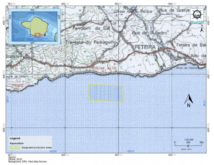
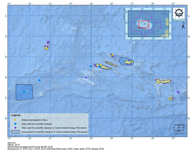
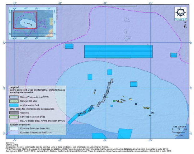
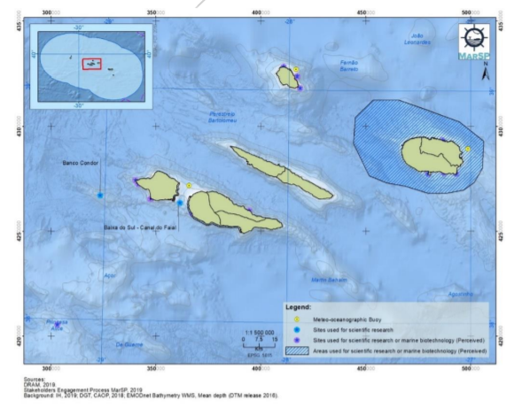
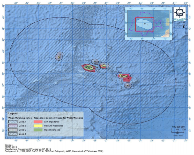
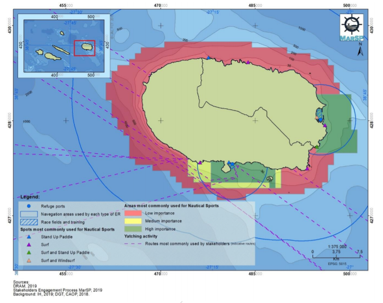
BB5. Spatial database and filling data gaps
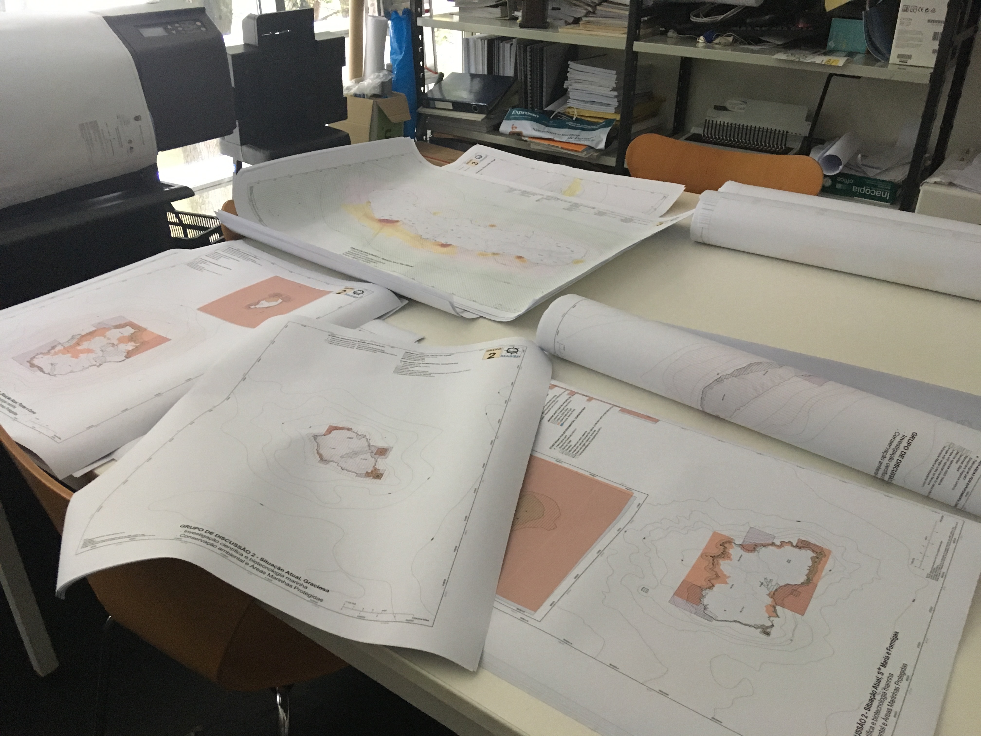
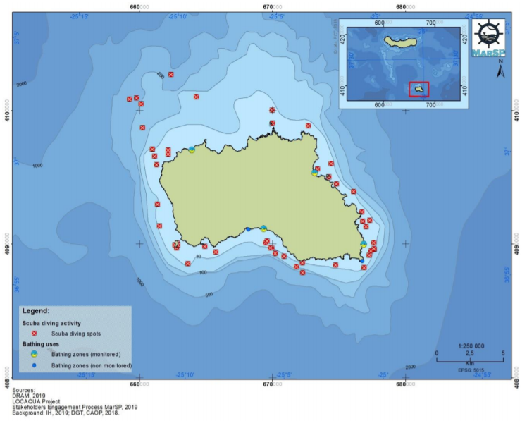
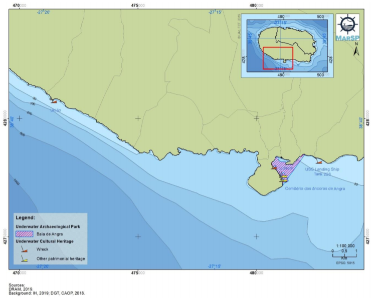
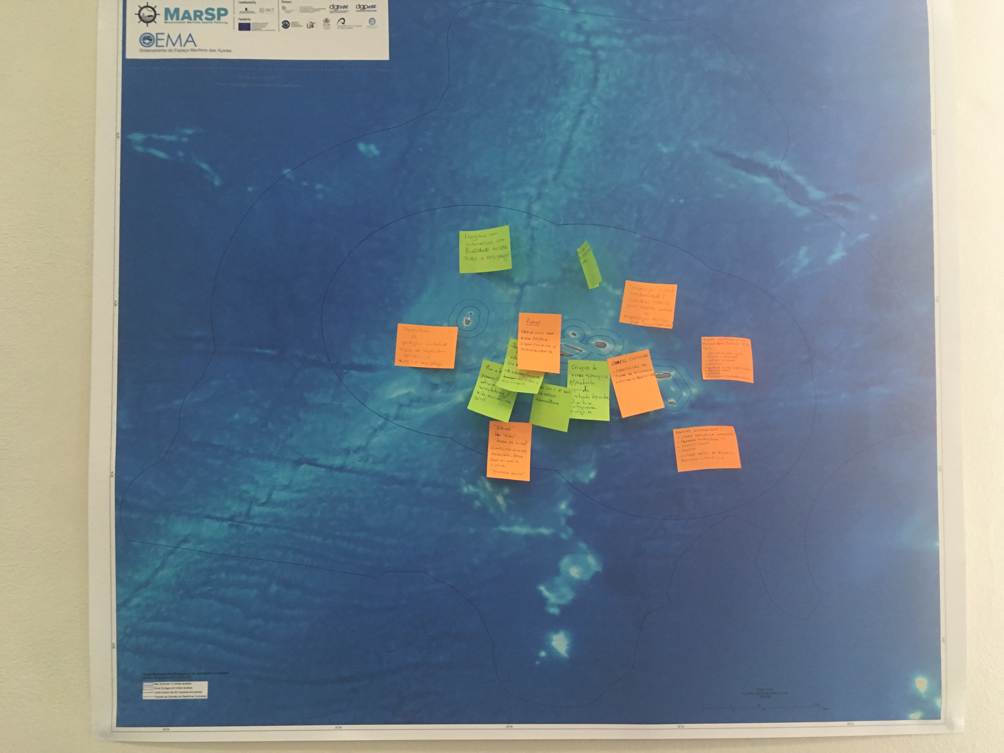
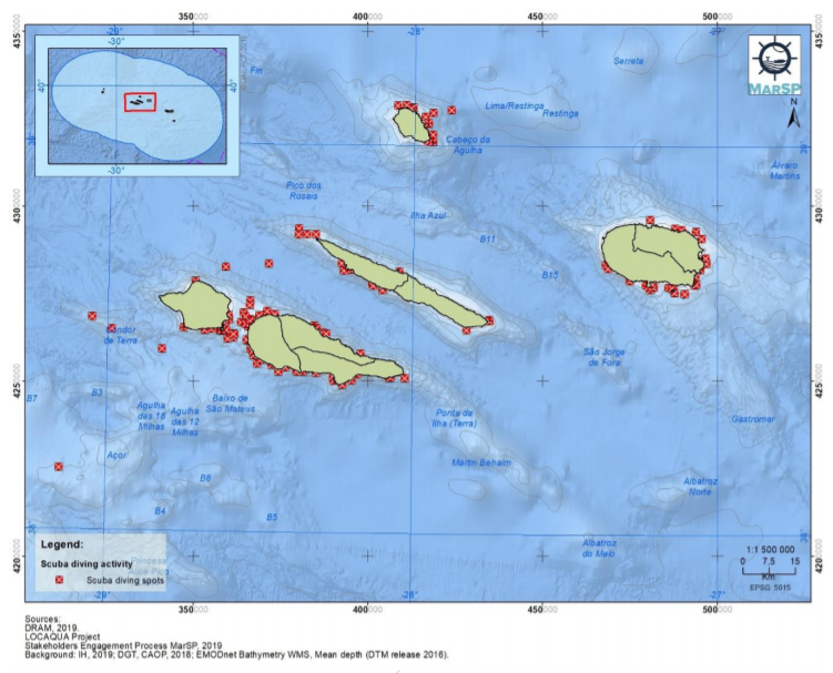
The spatial database elaborated for the Azores archipelago was essentially based on the compilation of already existing and available cartographic information. This was due to the limited time period for the implementation of the MarSP project and the need for validation of information by the competent entities/authorities, in the case of the elaboration of new cartography. Thus, the new information collected was composed of information produced during the participatory process. The participatory process, with the resulting production of cartographic information, was based on two distinct steps: (i) development of individual interviews, with the main actors representing each of the sectors of maritime activities identified for the Azores and (ii) workshops for discussion and/or validation of preliminary results obtained during the research and sector interviews performed, and for adding more information (during the 3rd stakeholder workshop). To collect the data in the interviews conducted, a web-based solution (SeaSketch) was used. This solution brings together powerful tools to empower and improve the MSP process.
Enabling factors
- Face-to-face interviews allow a better participation and collection of data.
- Workshops allow the clarification of doubts, data ammendment and collection of new data.
- Using a web-based tool (SeaSketch) facilitates the collection of spatial information during the interviews.
Lesson learned
- Interviews are time-consuming.
- Filling knowledge gaps require an extensive effort.
- Need for time to validate information/data by the competent entities, in the case of the elaboration of a new cartography.
Impacts
- Increased knowledge and awareness on maritime spatial planning among stakeholders, which built capacities on this field.
- Increased trust amongst the stakeholders, contributing to greater willingness of stakeholders to participate and to support the implementation of the maritime spatial plan to come.
- Filled knowledge gaps on several aspects relevant to the planning process, including the spatial distribution of certain maritime sectors.
- Stakeholders were able to influence the plan throuhout their participation in the process.
- Provided the initial framework for the competent authority to finalise and implement the regional maritime spatial plan of the Azores.
It is expected that existing conflicts among maritime sectors will decrease once the plan is implemented.
Beneficiaries
The Regional Government of the Azores, who is the competent authority to coordinate the development of the MSP plan. Stakeholders and maritime sectors that had the opportunity to contribute to the plan with their opinions, values and information.
Sustainable Development Goals
SDG 8 – Decent work and economic growth
SDG 9 – Industry, innovation and infrastructure
SDG 11 – Sustainable cities and communities
SDG 14 – Life below water
Story
.")
Tânia Pipa, a Biologist from Corvo Island (Western Group).
Source: https://www.youtube.com/watch?v=JRGz_VcHWTY&feature=youtu.be
From Corvo, the most occidental island of the Azores, with the smallest population (~400 habitants) and size (~17 sq.km.), Tânia Pipa, tells her perspective and impressions of the participatory process. For her, the engagement process in the region was very participative. She very much enjoyed being a part of it and felt proud to have had the chance, together with other stakeholders from different backgrounds and points of view, to contribute to the regional MSP and the discussion promoted by the project.
As a Biologist working in the conservation of seabirds, Tânia said the process gave her the opportunity to learn, share experiences and better understand the perspectives from other sectors (e.g. tourism, maritime transportation, etc.). She also highlighted that the outcomes of the discussions, built by various maritime users, support the development of measures targeting economic growth being mindful of conservation of the ocean. She ended by saying that she truly believes that the participatory approach carried out through the MarSP project should always be in place for future MSP as the way to validate the process.
Connect with contributors


Other contributors
Cláudia Hipólito
University of the Azores (UAc)/Regional Fund for Science and Technology (FRCT)
Camila Pegorelli
University of the Azores (UAc)
Marta Vergílio
Research Centre for Biodiversity and Genetic Resources (CIBIO)
Mario Caña Varona
University of the Azores (UAc)
Maria Vale
Regional Fund for Science and Technology (FRCT)
Luz Paramio
Regional Fund for Science and Technology (FRCT)