Tech-enabled fire prevention system to save vital giant panda habitat in tangjiahe national nature reserve (green list) and 165 other important protected areas in sichuan province, china. PATHFINDER AWARD 2021 WINNER
Full Solution


panda1
Sichuan Forestry and Grassland Bureau
Significant conservation impact from technology: the solution uses real-time analysis of satellite images to detect possible fire events. These are rapidly verified and fire events are communicated instantly to rangers in the affected protected areas. Speed is essential. Climate change is making fire more frequent with rapid spreading of events. However there has been a 71% decrease in serious fire events so far in 2021 because of this solution.
Last update: 25 Nov 2021
3290 Views


Context
Challenges addressed
Innovation in fire detection for sichuan and its 166 protected areas.The solution uses satellite image analysis to detect fire events across 8.2 million ha of important habitat for panda. Instant alerts communicated to rangers and who take immediate action. 71% fewer major fire events in 2021 to date.
Location
Sichuan, People's Republic of China
East Asia
Process
Summary of the process
HOT SPOT CAPTURE MODULE will transmit the hot spots captured from satellites, UAVs and ground cameras to HOT SPOT CHECK MODULE, and confirm whether the hot spot is a fire through HOT SPOT CHECK MODULE. If HOT SPOT CHECK MODULE confirms that the hot spot is a fire, the fire will be automatically submitted to the fire department through FIRE SUBMISSION MODULE; If HOT SPOT CHECK MODULE confirms that the hot spot is not a fire, the hot spot will be closed automatically.
Building Blocks
HOT SPOT CAPTURE MODULE
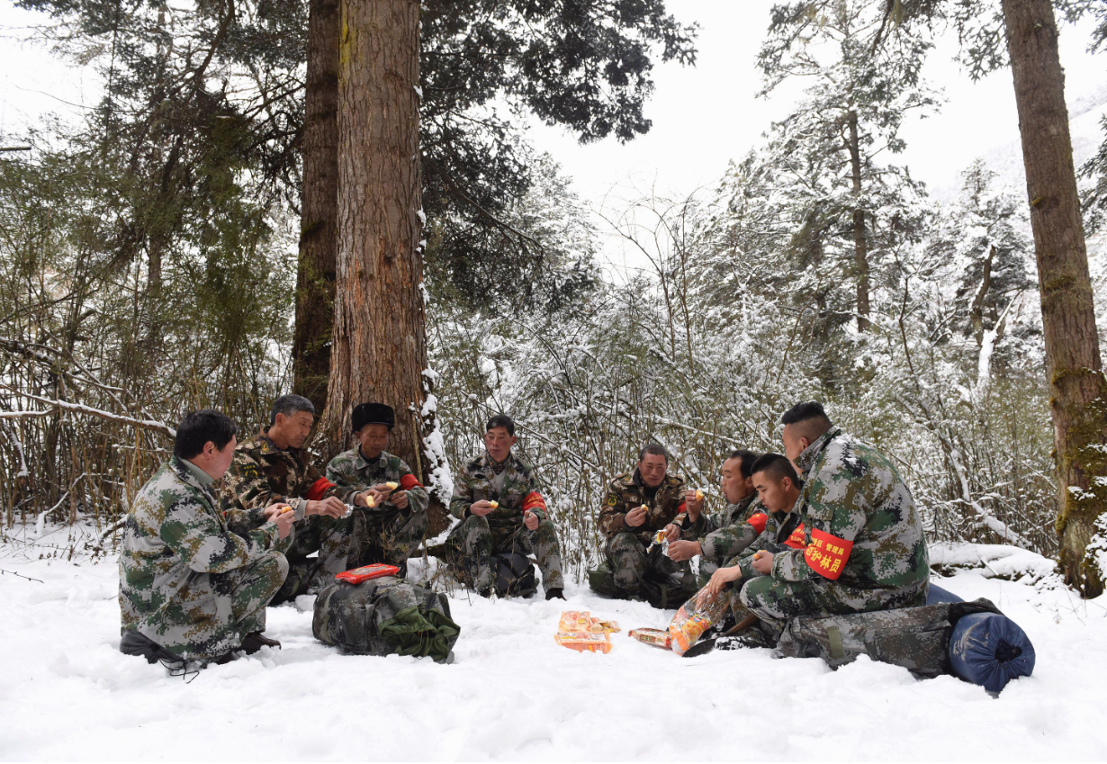
The system captures hot spots (possibly fire events) from satellites, UAVs and ground cameras, and obtains fire event information from forest rangers. More than a dozen satellites scan the reserve at different frequencies every day. After intelligently analyzing the satellite scanning information, the system automatically selects the hot spots and sends out hot spot alarm; In case of bad weather and dense clouds in the protection area, the system can send UAV to fly at low altitude to scan the protection area, screen hot spots from the video images scanned by UAV, and send hot spot alarm; The network composed of thousands of ground cameras can monitor the situation of the protected area in real time, automatically analyze the images obtained by ground cameras, screen hot spots, and then send hot spot alarm; 140000 forest rangers were scattered to patrol every corner of the reserve. Once a fire is found, they can immediately call the fire department through the system. Satellites, UAVs, ground cameras and forest rangers cooperate with each other, greatly reducing the time to find hot spots and fire events.
Enabling factors
Satellites play a great role in capturing hot spots. HD resolution satellites can easily capture hot spots.
Lesson learned
It is necessary to use HD resolution satellite and synchronous orbit satellite to capture the hot spots of the protected area.
HOT SPOT CHECK MODULE
After the system obtains the hot spot alarm from satellite, UAV and ground camera, it can timely send forest rangers near the hot spot to verify whether the hot spot is a fire event. If the hot spot is not a fire event, the hot spot will not be reported to the fire department; If the hot spot is a fire event, it will be reported to the fire department through the fire submission module.
Enabling factors
HOT SPOT CHECK MODULE can accurately locate the position of the forest ranger and guide the forest ranger to check the hot spots.
Lesson learned
Forest rangers' experience in solving problems of daily patrol location and delayed event reporting.
FIRE SUBMISSION MODULE
After the system obtains fire event information from satellites, UAVs, ground cameras and forest rangers, it will immediately transmit the video image of the fire scene to the fire department, which will deploy firefighters to extinguish the fire according to the fire situation. Because the system can detect the fire event in time and report to the fire department, many fire events were extinguished when the fire was very small and did not develop into very large fire event.
Enabling factors
The fire event information can be submitted to the fire department in time to prevent the fire from getting bigger and buy time for fire fighting.
Lesson learned
Satellite, UAV, ground camera and forest ranger shall record video during work; With the video, after the hot spot is checked as a fire event, FIRE SUBMISSION MODULE will submit the fire event and fire video to the fire department.
Impacts
Innovation in fire detection for sichuan and its 166 protected areas. The solution uses satellite image analysis to detect fire events across 8.2 million ha of important habitat for panda. Instant alerts communicated to rangers and who take immediate action. 71% fewer major fire events in 2021 to date.
Beneficiaries
71% fewer major fire events in 2021 to date.Tiangjiahe national nature reserve – an IUCN Green List certified site - and 165 other protected areas in Sichuan Province can benefit.
Story

Wang Jianbo
Sichuan Giant Panda Digital Technology Development Co., Ltd
Five years ago, Wang Jianbo, 31, became an ordinary forest ranger in Huili County, Liangshan Prefecture. Every day, he gets up early in the morning and forms a patrol team with his colleagues. He goes deep into the dense forest until he returns home. They are not only a forest protection team, but also a fire fighting team. On the 80km patrol Road, they not only observe and record the cleaning of natural resources along the way, but also find fire risks and deal with fires, especially in spring every year, The weather in Liangshan is dry and the temperature is high. If you are not careful, a little spark may lead to a surging forest and grassland fire, and the consequences are unimaginable!
In the past, all fire prevention and fire fighting work depended on people, and information transmission was often not timely and accurate, so that rear command and front-line operations all depended on experience and luck. In 2021, the forest and grassland fire monitoring immediate reporting system was developed and launched. By creating an integrated digital system of "sky, earth and people", it has become the intelligent brain and eyes of forest and grassland fire prevention and extinguishing in Sichuan Province.
Like 140000 forest rangers in the province, Wang Jianbo also installed the system on his mobile phone for the first time. In the early morning of March 19, he received a call from the attendant of the fire prevention monitoring center. The system found that there was a fire hot spot in Hailong village, and asked him to go to verify immediately. Without saying a word, he took the flashlight and mobile phone and hurried out of the door. Because the system has accurately marked the geographical location of the fire hot spot, Wang Jianbo can easily and accurately reach his destination even in such a dark night. Sure enough, there was a fire, but fortunately the fire was not big! He secretly rejoiced, and then shot the on-site video and uploaded it to the system. According to the on-site situation fed back by Wang Jianbo, the headquarters immediately informed the local government to organize a team to fight the fire, and successfully put out the fire before it was white. With a smile on his tired face, Wang Jianbo said that without this system, the mountains would be completely burned during the day. As a native Liangshan man, he feels honored to be able to guard the green mountains and grass of his hometown.

