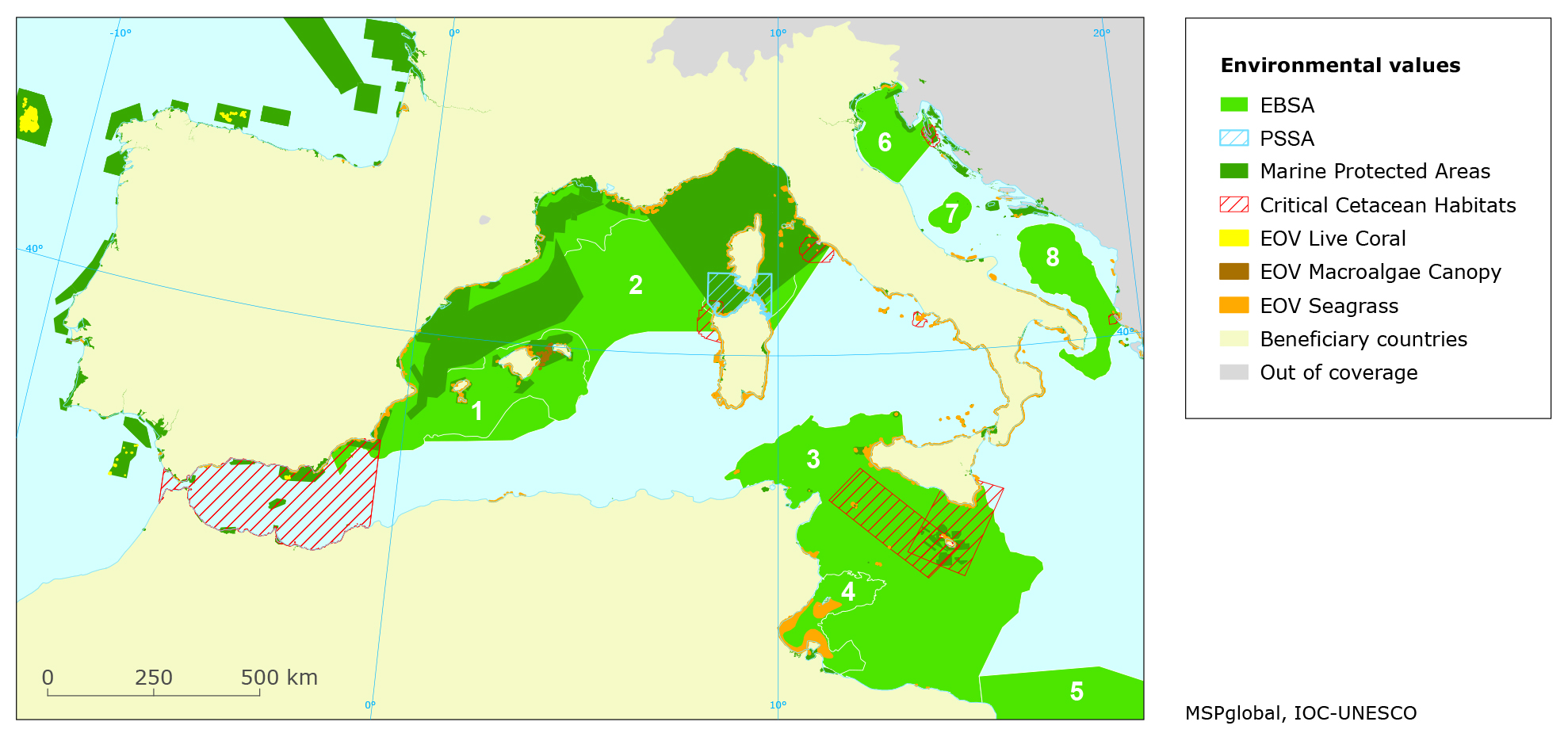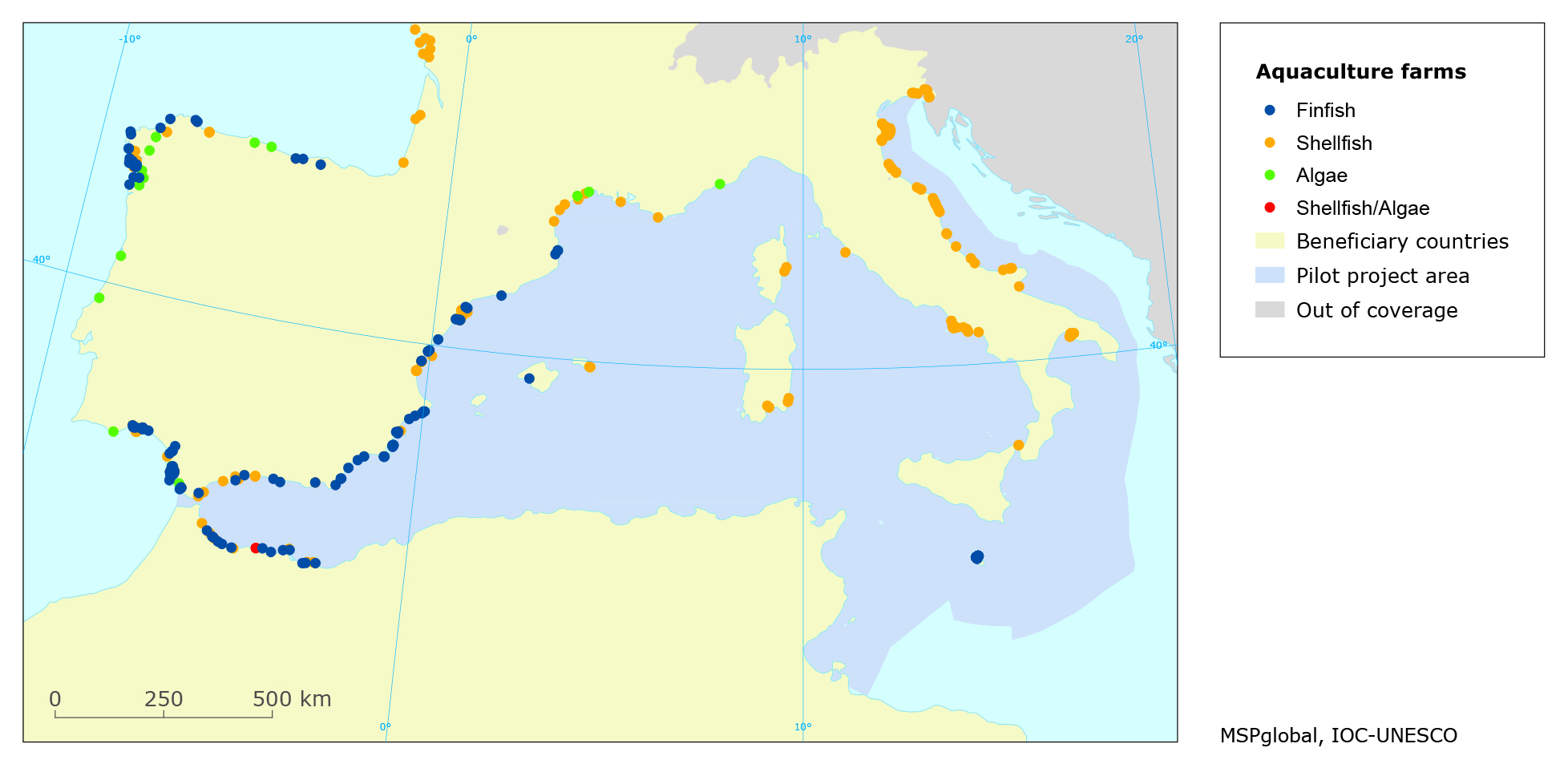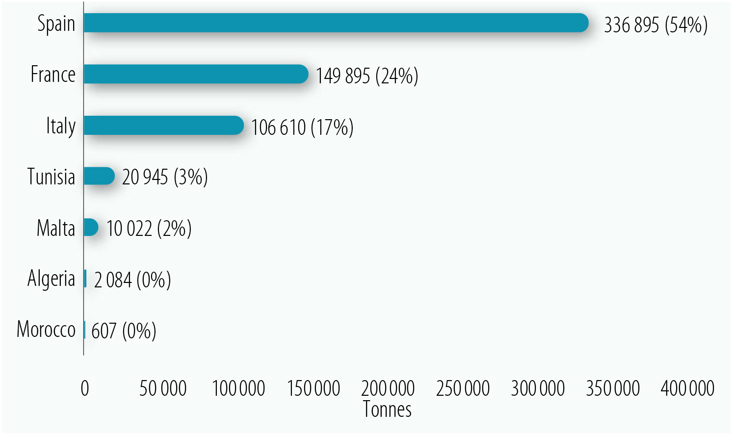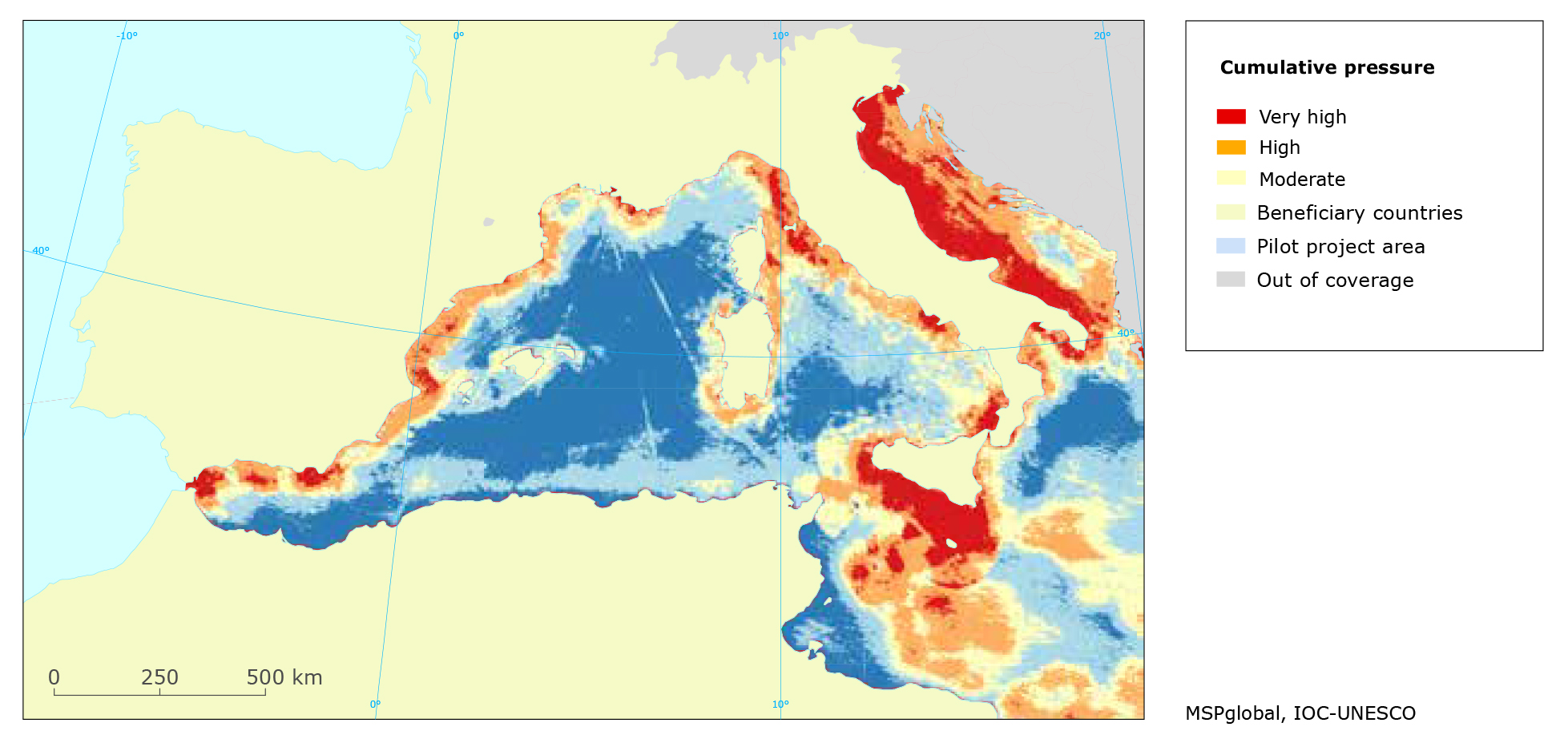


This Building Block aimed to analyze the current conditions of the Western Mediterranean. Policies, data and information on the marine environmental and main maritime uses were analyzed to identify use-use and use-nature conflicts and compatibilities, resulting in the development of a technical report publicly available. Spatial data was compiled to develop the maps about the different uses.
-
Access to public data sources, especially European and international ones
-
Data from previous projects developed in the region
-
At least one member of the team with expertise in spatial data available during the whole initiative in case additional analysis is necessary
-
Data providers: If the data is not publicly available, care should be appointed when choosing the right contact person (committed and with interest in the project) to request it
-
Lack of data: Some institutions might not be willing to share data, so it is important to be transparent and acknowledge data gaps