Carbon inventories in mangrove ecosystems
Carbon inventories of mangrove stands provide valuable data to improve emissions estimates
Carbon assessments can kick-start local involvement and capacity building
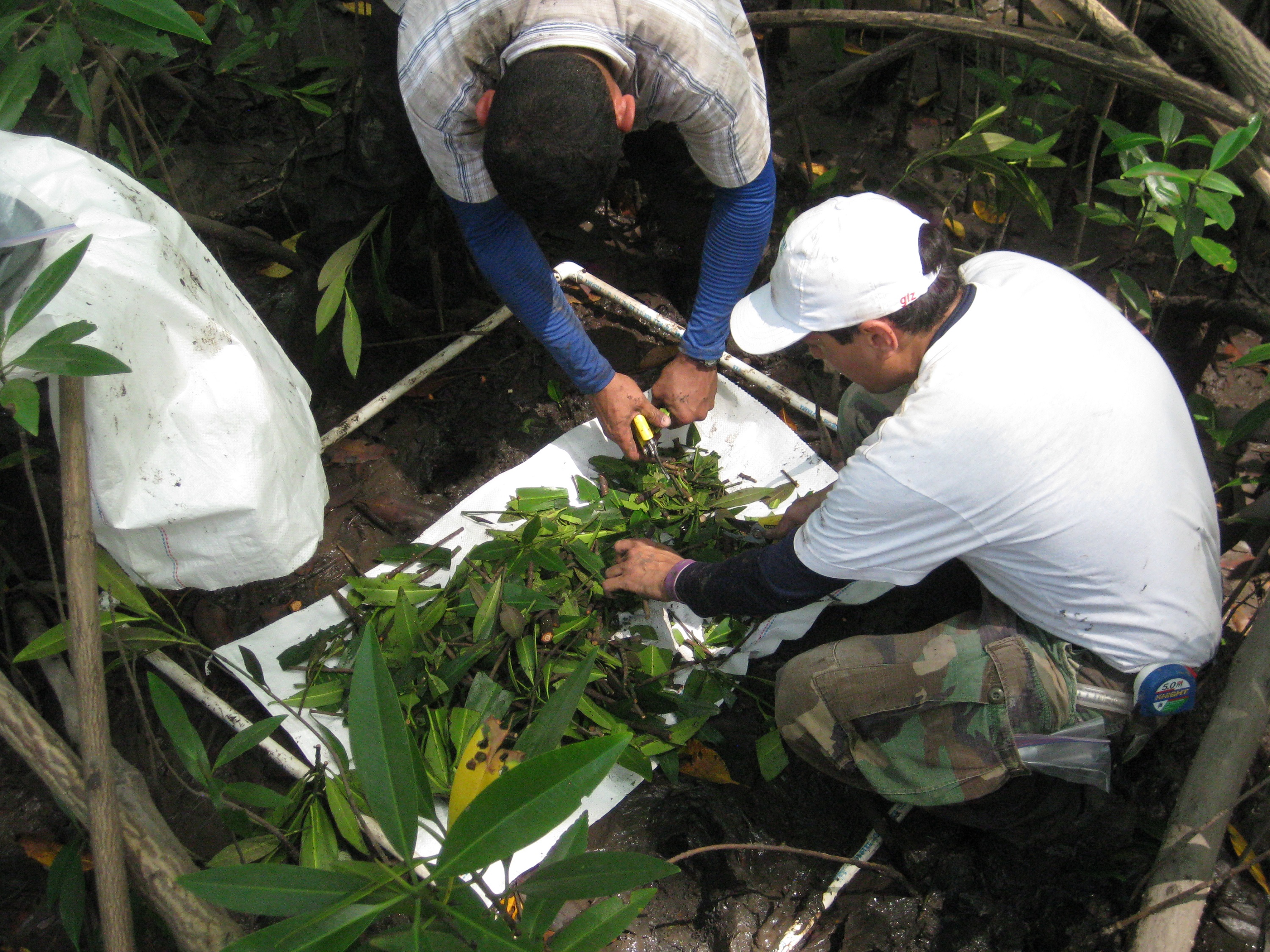
Carbon inventories provide the basis for quantifying current stocks and mangrove areas needed to estimate historical emissions. They allow for characterization of the environment, description of the flora and horizontal and vertical structure of the stands, plus their condition. Carbon assessments can also kick-start local involvement and capacity building. When repeated over time under a robust monitoring system, they provide growth and carbon accumulation rates that are used to calculate higher quality emission numbers than those currently available.
The involvement of government and local authorities is key. Government officials (local and national) are made aware of the process so they can recognize the value of the inventories in providing detailed data on highly vulnerable ecosystems. Involvement of local actors is key so they are empowered and acquire ownership of the project. Also, their knowledge of the area supports project site selection and ensures safer working conditions.
The quality of the inventories depends upon the use of consistent protocols and the level of trained personnel. Work in mangrove forests is more challenging than in terrestrial ecosystems, and safety of the workers needs to be a strong priority. The logistics of using boats to access field sites, short windows of time between tides, plus the difficult terrain preclude swift completion of tasks which, in turn, increases costs and duration of field work. With local involvement, these costs may be controlled, as boat rental fees may be lowered or waived. Also, collecting and processing soil samples in the field is challenging because of their extreme high water content, implying that laboratory facilities need to be arranged in advance. Having local people involved with the inventories is highly recommended because of their first-hand knowledge of the area, tide behavior and land use dynamics. GIS tools facilitate inventory planning.


