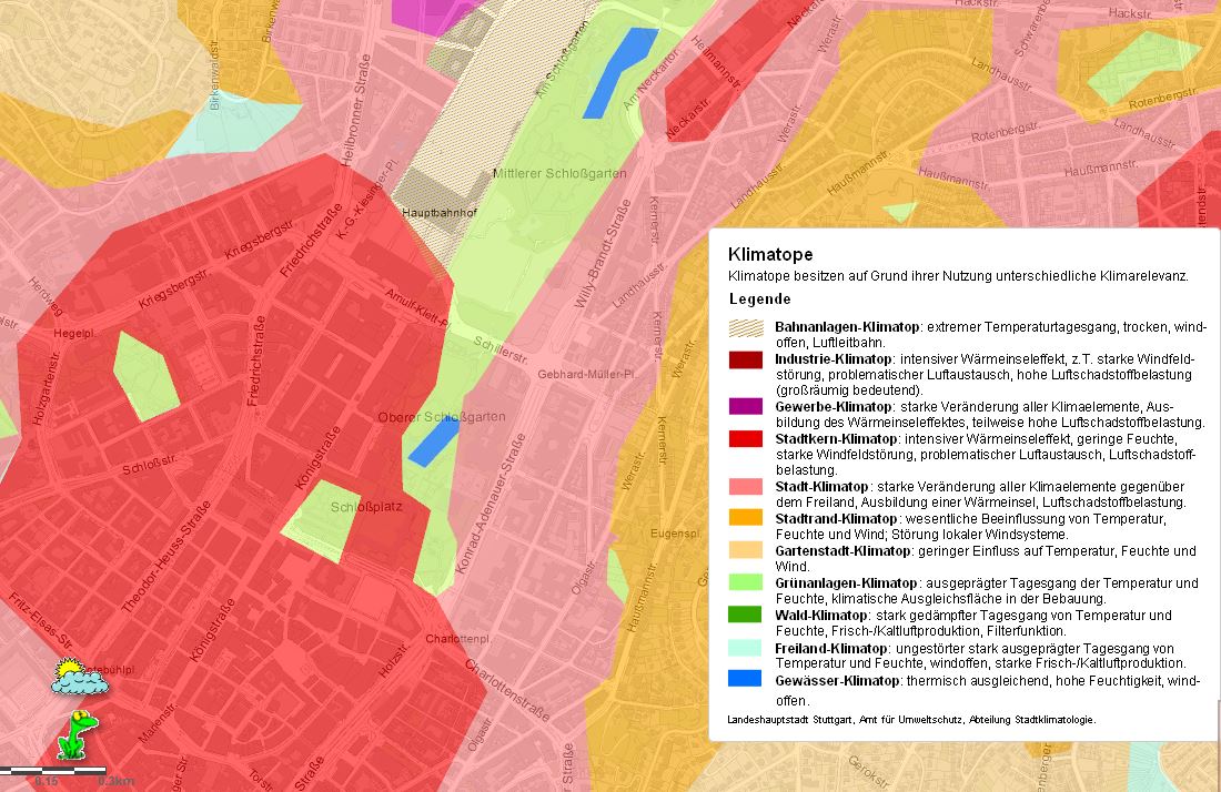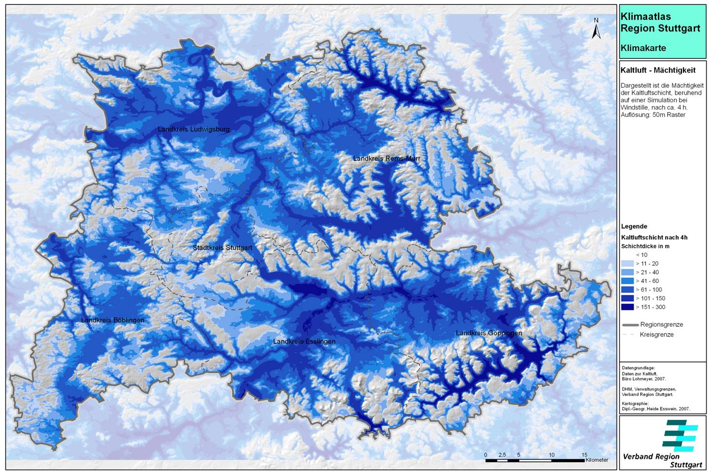


The climate Atlas for the Stuttgart region was published in 2008 and comprises of standardised climatic assessments for 179 towns and municipalities in the Stuttgart region. It provides relevant information and maps required for urban climatic optimisation, such as regional wind patterns, air pollution concentrations, temperature, etc.
A key element of the atlas in terms of EbA planning for airflow and cooling is an area classification based on the role that different locations play in air exchange and cool airflow in the Stuttgart region. This is based on topography, development density and character, and provision of green space. The Atlas distinguishes eight categories of areas in this manner, and for each of them different planning measures and recommendations are provided.
Planning recommendations were included in the “Climate Booklet for Urban Development Online – Städtebauliche Klimafibel Online".
The Atlas was based on the previous work in this area carried out by the City of Stuttgart since the 1980s and the in-house urban climatology department (in existence in the City of Stuttgart since 1938). Indeed a climate Atlas had been published in 1992, upon which the current Atlas was extended.
Maps are important tools for planning and for communicating information to relevant stakeholders. They are necessary for attaining climatic and air quality goals.
The study provides important insights that can be used for climate protection and the recommendations include a focus on the transformation of green space and vegetation into the built city and the preservation and restoration of natural vegetation, including ensuring green corridors.