
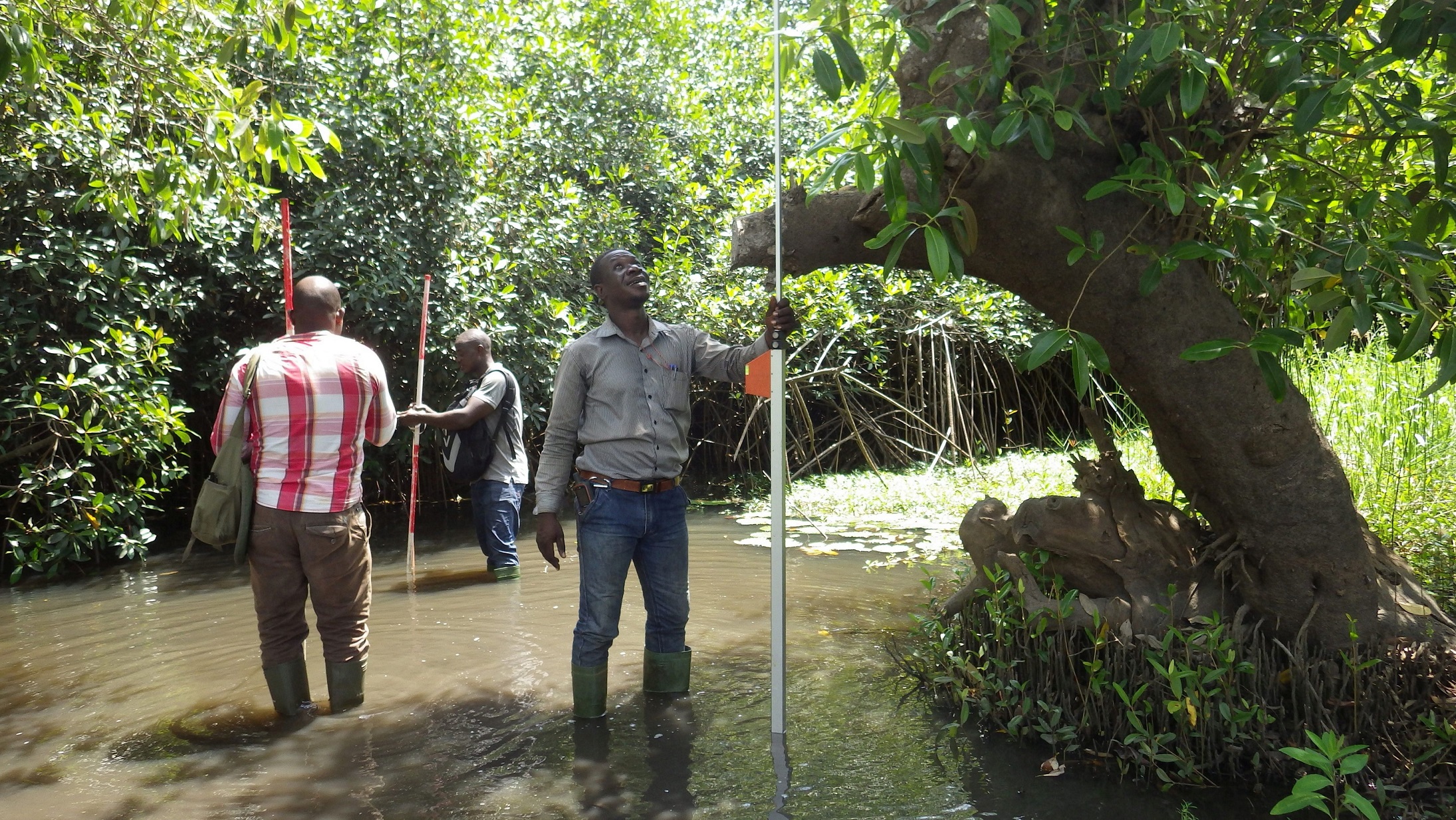
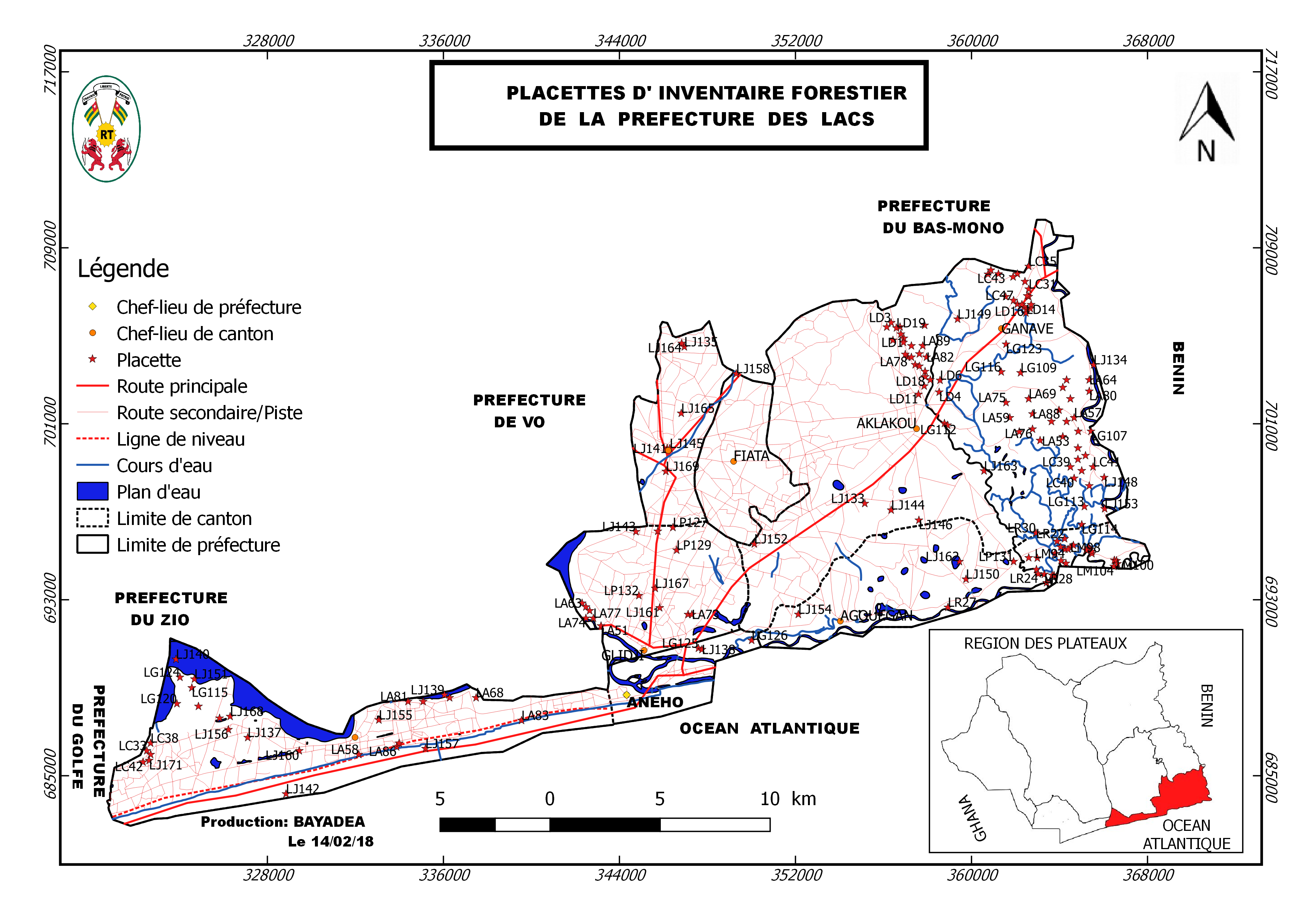
The inventory of natural forests and plantations was based on the participatory mapping. It covered the following steps:
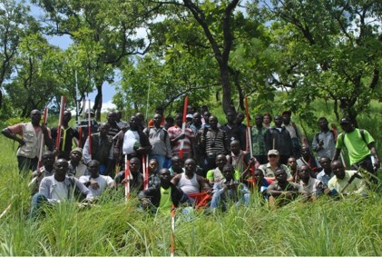
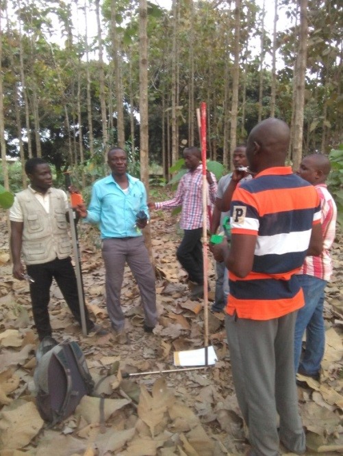
1. Training of forest inventory teams
2. Definition of forest types and layers (stratification): analysis and interpretation of RapidEye 2013-2014 satellite images (resolution of 5 m x 5 m)
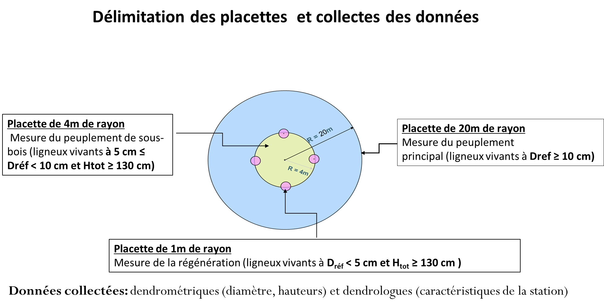
3. Implementation of pre-inventory: Assessment of results from national forest inventory, preparation of field work, determination of variation coefficient and statistical method, measurement of 20 circular plots. Inventory of main forest stand with a 20 m radius for samples ≥ 10 cm in diameter and ≥ 1.30 m height; inventory of forest undergrowth in circular plots with 4 m radius on trees and shrubs samples with a diameter between 5 and 10 cm open and a height ≥ 1.30 m
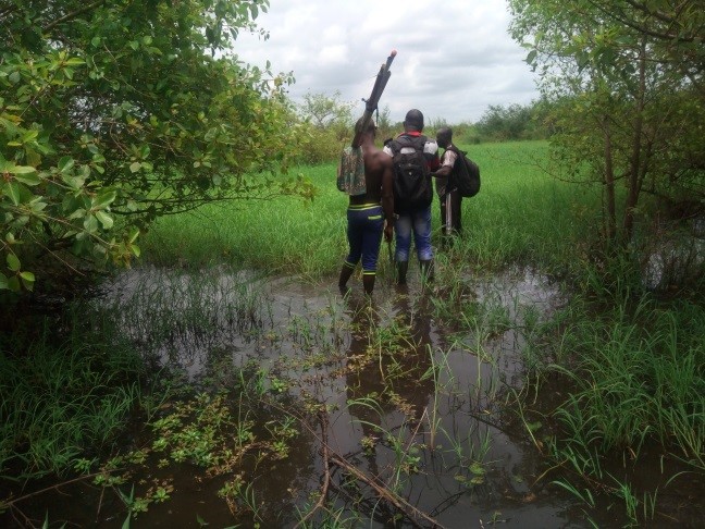
4. Implementation of inventory: preparation of field work, measurement of 173 circular plots with same sample plot features as during pre-inventory and with the support of local cartographers.
5. Data processing at regional management level with support from the inventory database management unit
6. Zonation and identification of forest landscape restoration options
- Experience of technical staff of MERF in carrying out the first national forest inventory of Togo
- Existence of forest and cartographic data management units within MERF
- Using results of the first national forest inventory at the regional level
- Availability of RapidEye satellite images (2013-2014)
- Evaluation of restoration potential of forest landscapes study in Togo (2016)
- Guidance and knowledge of local cartographers about the local resources during the forest inventory
- A thorough identification and mapping of actors in the beginning of the inventory was crucial to form a solid coordination structure
- It was crucial to keep the interest and support of local communities in the inventory process, based on regular communication and awareness raising
- The local forestry administration implemented the inventory at community level in a very remarkable way; the participatory process put foresters in a new role of highly appreciated community advisers and companions for forest management. The administration - once perceived as a repressive force and authoritarian manager of resources – was accepted by the community as a partner
- The inventory, including the identification of 70 tree species in total (incl. 24 families & 65 genera) in the four zones, increased the awareness about existing biodiversity and their potential in the context of forest landscape restoration and climate change adaptation