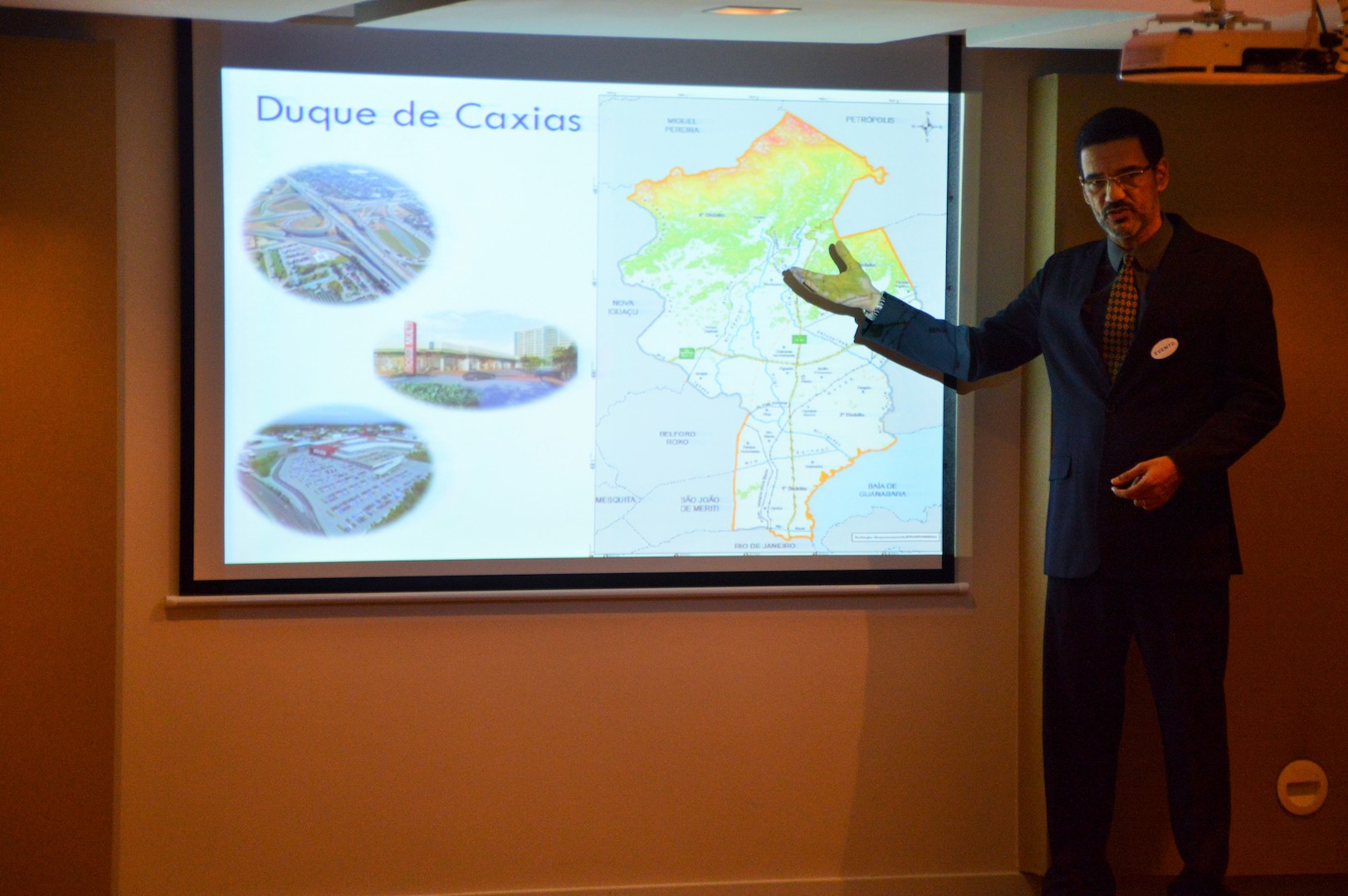


The aim of this step was the mapping and evaluation of ecosystem services (ES) provided by the region’s ecosystems, using the IES approach (Integrating Ecosystem Services into Development Planning).
The first step of the workshop was a participative selection of the most relevant ES, so that they can be considered in spatial planning processes. In a second step, using the Matrix Method, the following activities where undertaken for the mapping of the ES:
- Creation of a database (current land-use, present and future conditions of ES), design of interview guidelines.
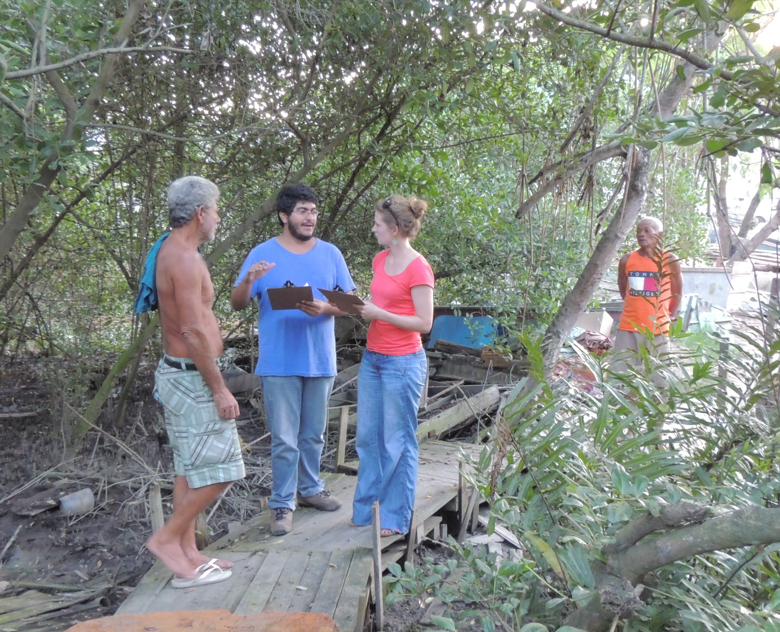
- Mapping of relevant interviewees (specialists, decision makers and community representatives), carrying out of the interviews.
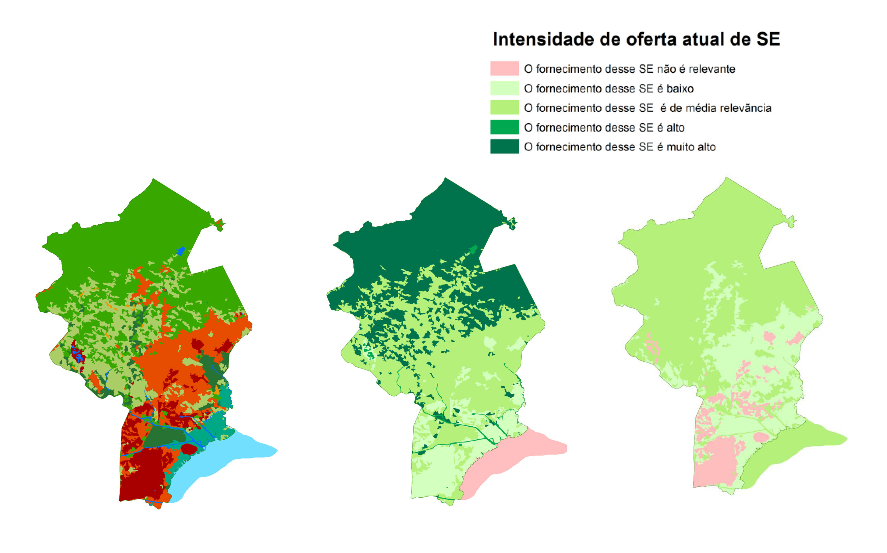
- Creation of the ES Maps using GIS/QGIS. The maps show the location and intensity of the ES and the main drivers leading to degradation of ecosystems.
The analysis identified conflicts between zones of the current master plan and some of the landscapes that provide important ES. Additionally, several patches of native vegetation inside urban areas have been identified as suppliers of ES, which provided new information for urban planning. The mapping also generated data with explicit information regarding cultural services for the first time.
- Municipal technicians’ recognition of both, the importance of ES for the population’s well-being, and the fundamental significance of the protection of ecosystems for the municipality is key for this step.
- Based on this enabling factor, they facilitated as many resources as possible for a smooth implementation of the work. As a result, the ecosystem services mapping played a key role for a solid diagnosis that allows considering ecosystem services in territorial planning.
- The ES assessment was an opportunity to: (1) increase public participation in territorial planning; (2) systematize and make use of local knowledge; (3) increase general acceptance of the future zoning proposal; (4) clarify and explicit land use conflicts and uses/dependencies of ecosystems; and (5) add valuable information to the territorial diagnostic in a language that allows for a good understanding of all sectors of the government regarding the importance of each ecosystem.
- Including key stakeholders in the mapping is vital, both to increase legitimization of the data and its acceptance and to ensure the stakeholders’ advocacy for the results. Validating each step with stakeholders is crucial both to ensure ownership of the results and to enable them to understand and advocate for the results.
- Necessity of carrying out a detailed stakeholder mapping to identify all key stakeholder as well as of spending more time on this preliminary selection and interview process.