Participatory three-dimensional modeling (P3DM)
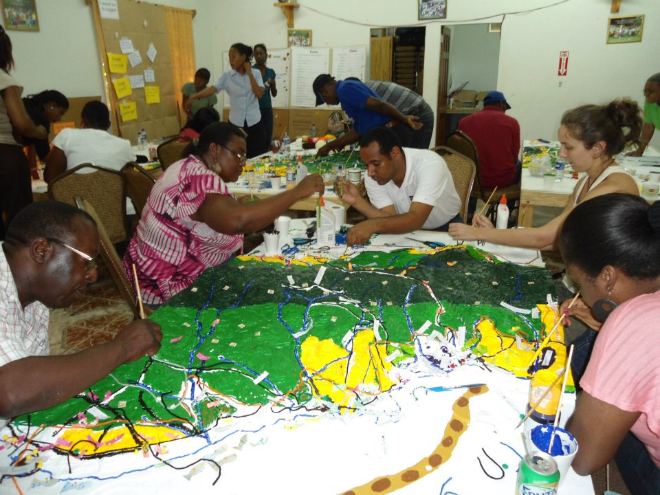
A group busy making the model. Copyright CANARI.
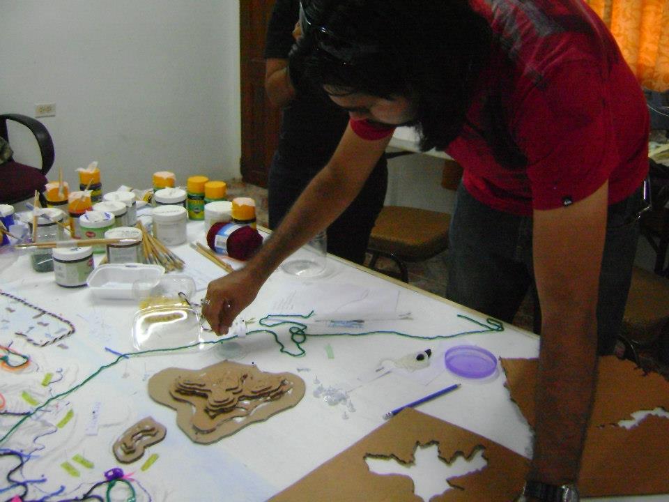
A participant makes cardboard layers to show topography. Copyright CANARI.
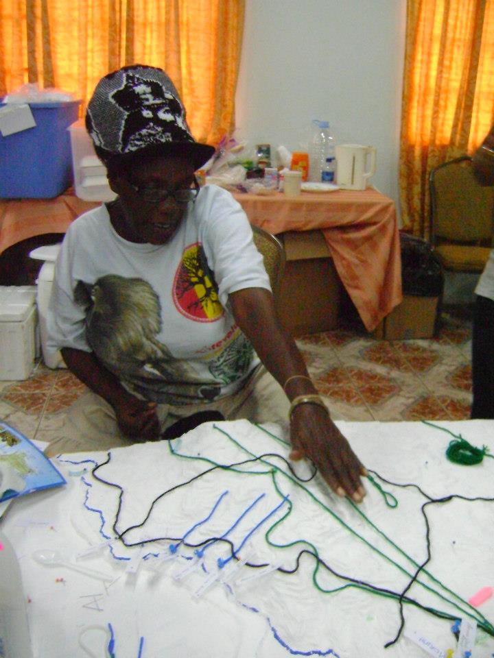
Yarn is used to map features. Copyright CANARI.
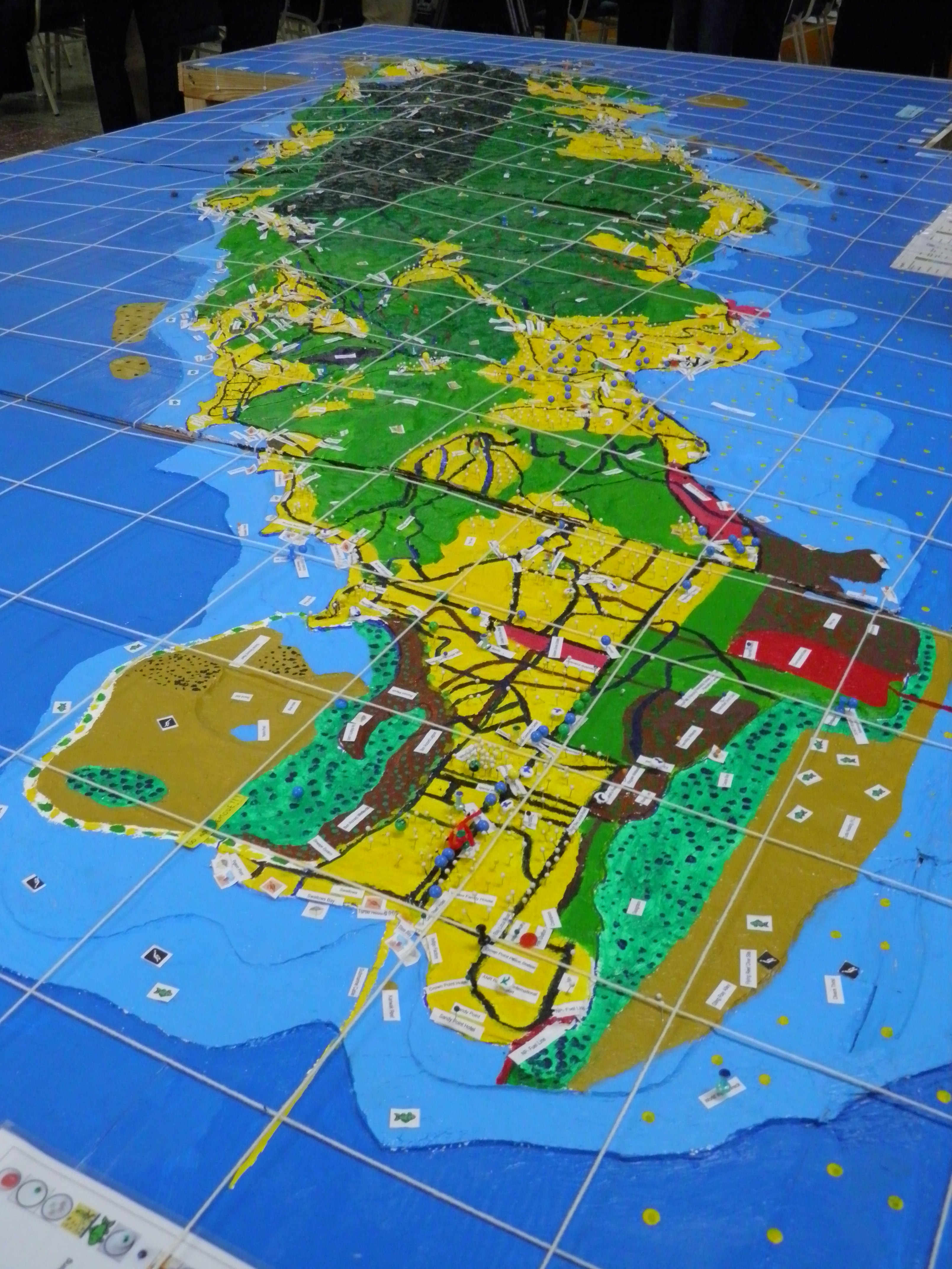
The final model of Tobago. Copyright CANARI.
P3DM integrates local peoples' spatial knowledge with elevation data (land and sea) to produce stand-alone, scaled and geo-referenced relief models to inform, for example, marine protected area planning. In a facilitated process of model building, stakeholders depict their knowledge of land/sea use and features on a scaled model using pushpins (points), yarn (lines) and paint (polygons). On completion, a scaled and geo-referenced grid is applied to facilitate data extraction or import. Data depicted on the model are extracted, digitized and plotted. The model remains with the community.
• Access to topography maps and GIS expertise
• Thorough analysis of who are the stakeholders that need to be involved in the process
• Buy-in of key leaders (community leaders, local media and government personnel) to mobilize participants.
• The site(s) for building a P3DM model, as well as storing it when completed, needs to be in a location convenient for the participants.
• Various strategies are needed to mobilize and engage stakeholders.
• The P3DM methodology must include facilitated sessions to improve understanding of the basic concepts of climate change and to analyse the impacts of climate change on their livelihoods. This facilitates analysis of impacts and recommendations for policy and action. It also supports civil society engagement in climate change vulnerability assessment and planning.
· Model building is very time intensive for facilitators as well as participants. The process can take anywhere from 5-15 consecutive days depending on the scale of the area and the number of participants being targeted.


