Use of Information and Communication Technologies
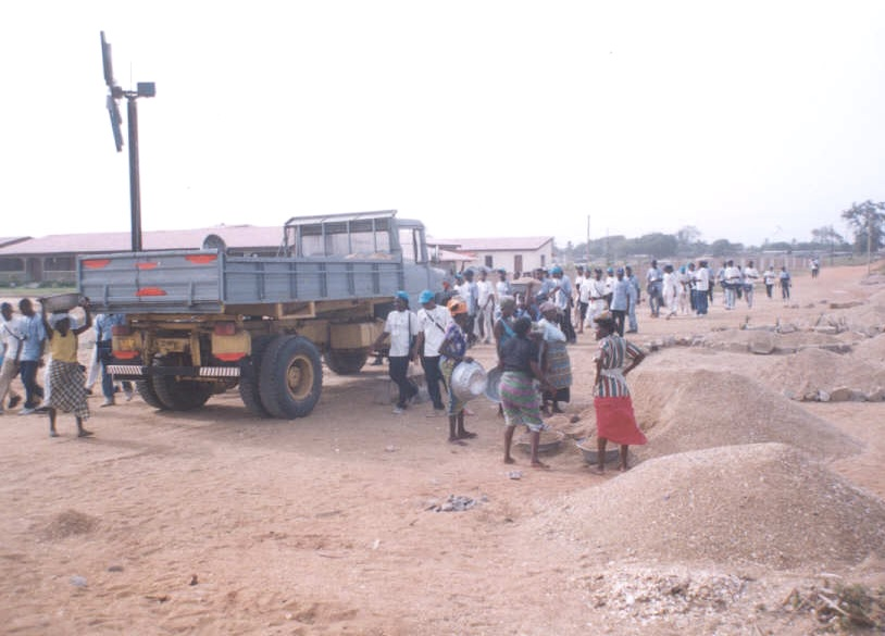
Awareness-raising activity on the beach on the themes of erosion.
Pessièzoum Adjoussi
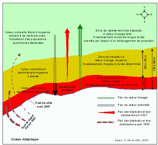
Coastal seascape model in Togo.
Pessièzoum Adjoussi
A vulnerability map was compiled after performing a field survey with use of Global Positioning System (GPS) technologies. This has allowed to identify the areas most vulnerable to erosion.
Only available in French. To read this section in French, please download the document "Blue Solution Template in French: ‘Contribution à l’amélioration de la résilience à l‘érosion côtière au Togo’” from the bottom of this page, under 'Resources'.
Only available in French. To read this section in French, please download the document "Blue Solution Template in French: ‘Contribution à l’amélioration de la résilience à l‘érosion côtière au Togo’” from the bottom of this page, under 'Resources'.


