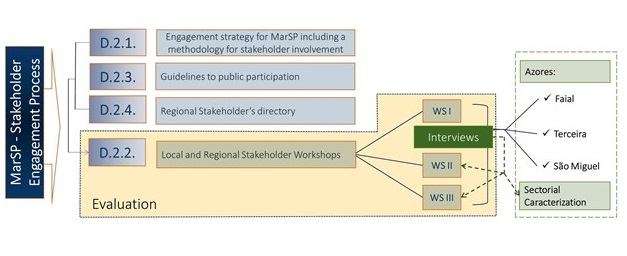

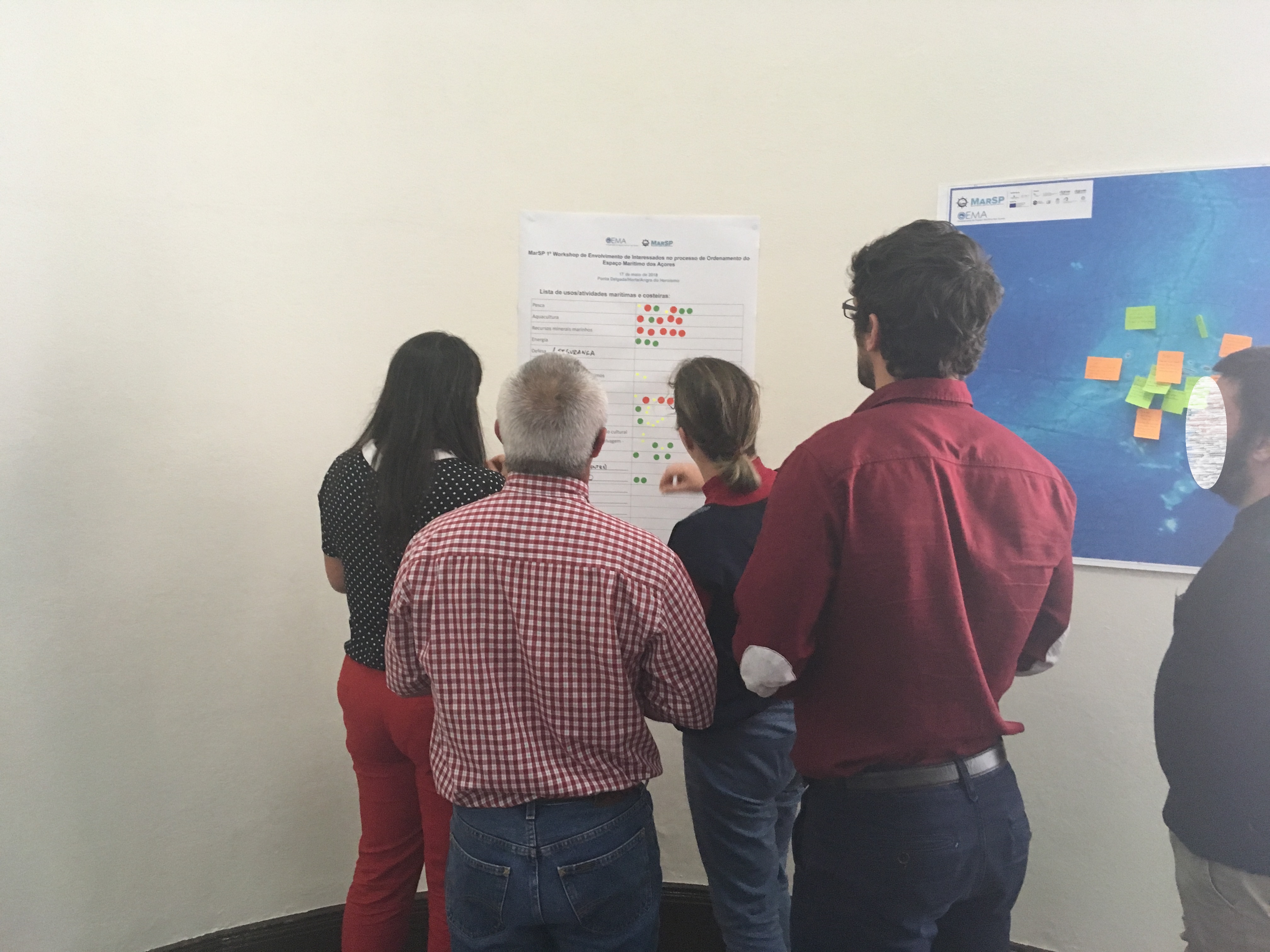
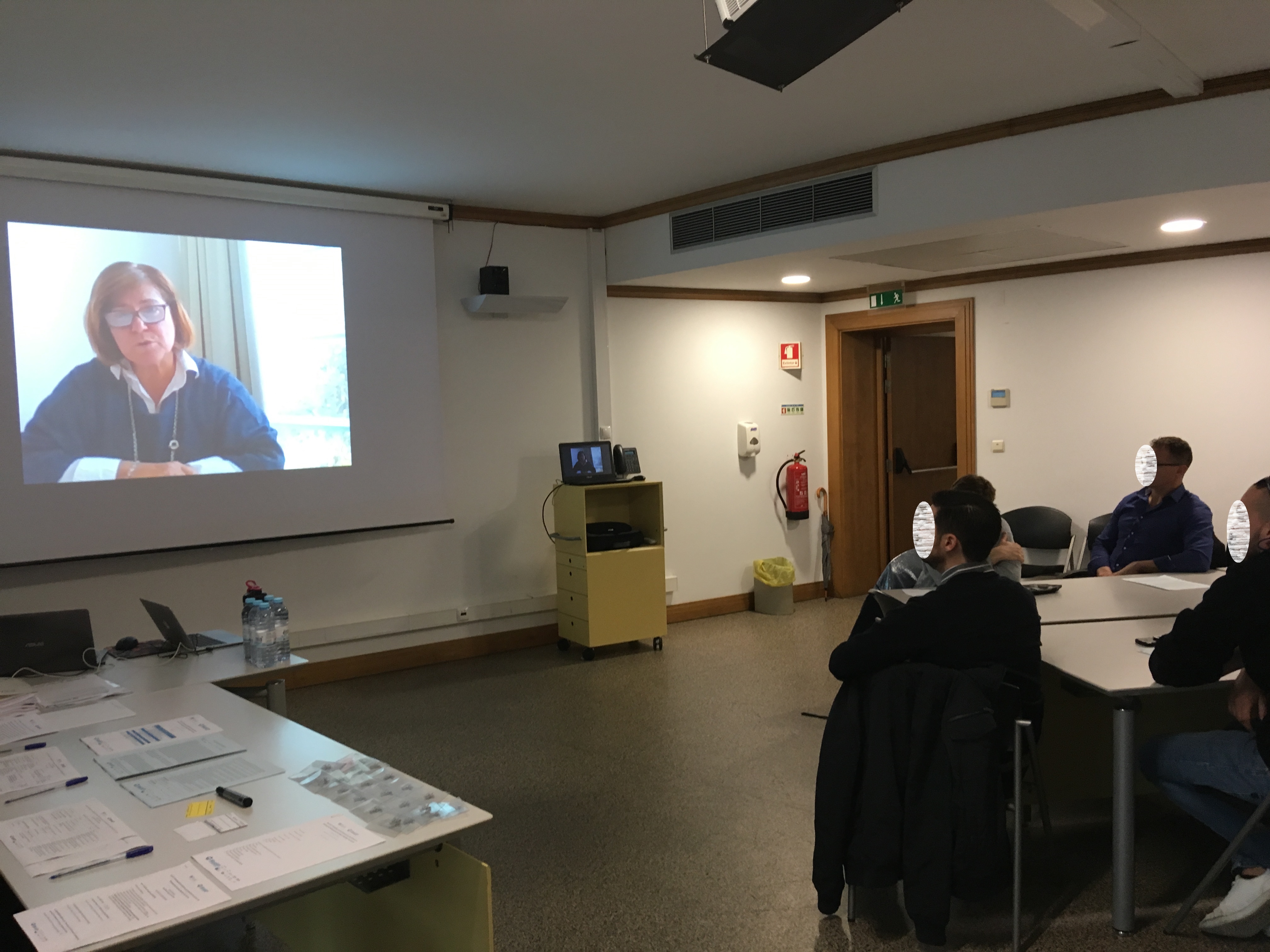
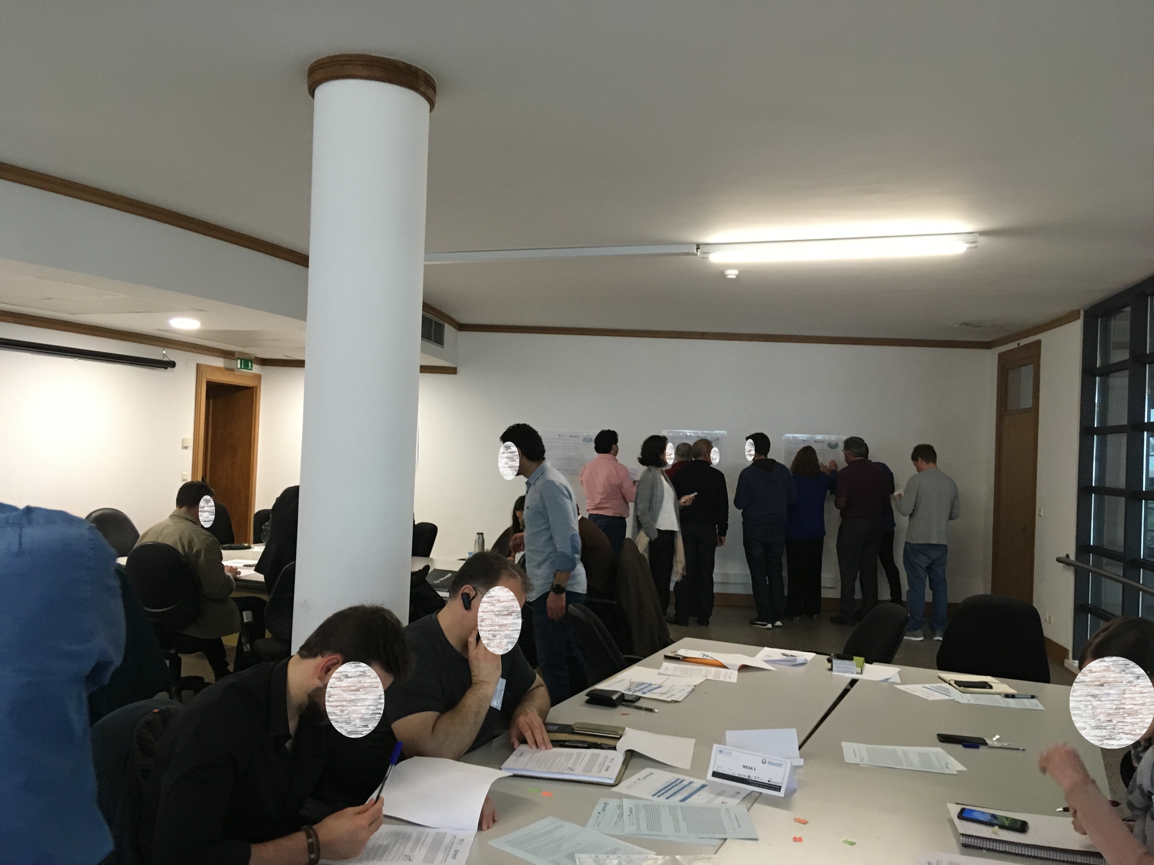
The Maritime Spatial Plan of the Azores was designed in a transparent and inclusive process, with the active involvement of a wide range of stakeholders. A strategy for stakeholder engagement and guidelines for public participation were drafted for this purpose. The engagement was designed in a series of three stakeholder workshops held simultaneously in the three most populated islands of the archipelago (São Miguel, Terceira and Faial). The workshops had the same structure, which combined communication about the MSP progress as well as activities to discuss, complement and validate the project outcomes. Prior to the workshops, stakeholders were mapped using the snowball technique. All identified stakeholders were assembled in the regional stakeholder directory and invited to participate in the events over the two years of the project. Complementary activities such as interviews were undertaken to fill important knowledge gaps related to specific maritime sectors.
- Planning and undertaking a transparent and inclusive participatory process.
- Widespread coverage of the entire archipelago, enabling the participation of stakeholders of the nine islands.
- Timely organisation and coordination among the team members, enabling communication and exchange among the simultaneous workshops in the three islands.
- Collaboration of colleagues and volunteers to support and moderate the workshops.
- Communicating and giving feedback to stakeholders on the results of the workshops.
- Stakeholders need to be contacted well in advance to get a good response.
- Good coordination and organisation among the team members and in the preparation of the materials is essential for timely implementation of the workshop activities.
- The development of a visualisation tools could help to decrease the ecological footprint of this type of workshops (most materials were paper) and decrease the time spent in the organization of the materials.
- Lack of data; multiplicity of reference systems or its nonexistence; the information dispersed both in terms of responsible entities and types of data (digital, analogue, etc.), affected the development of materials.
- Large workload to try to standardize all the information in order to be able to use it in a GIS system.
- Entities take too long to collect and make information available hindering the team's work.