Data and Technology

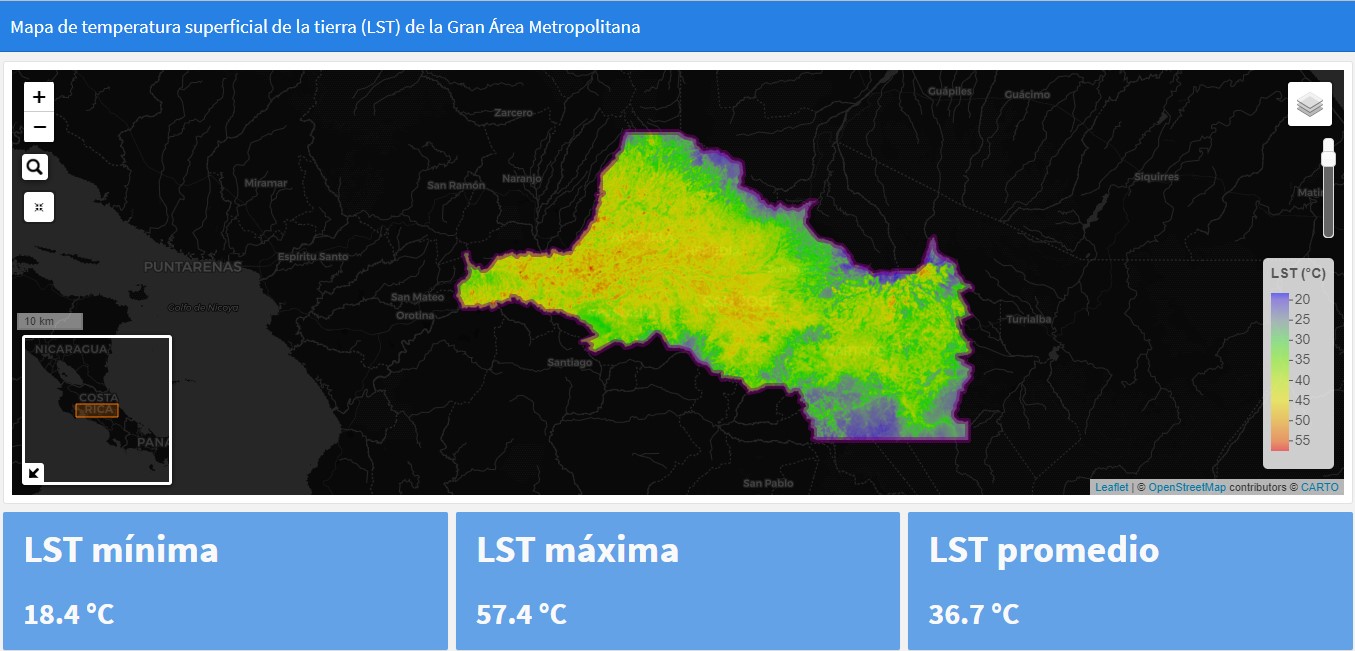
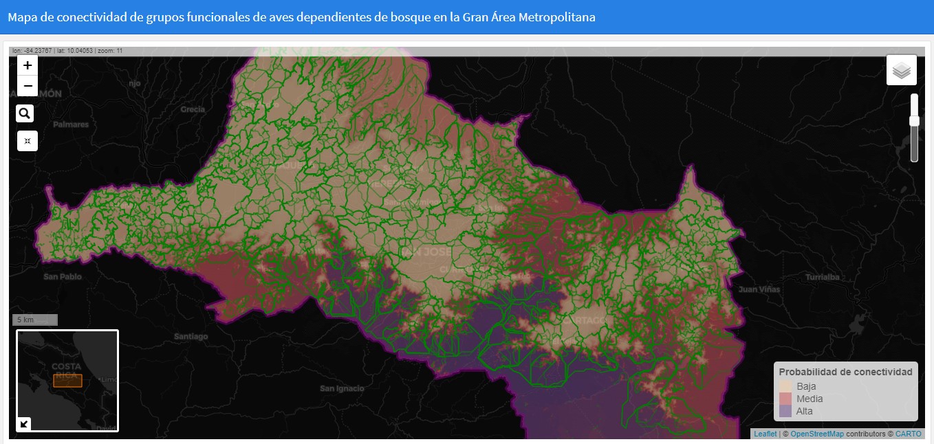
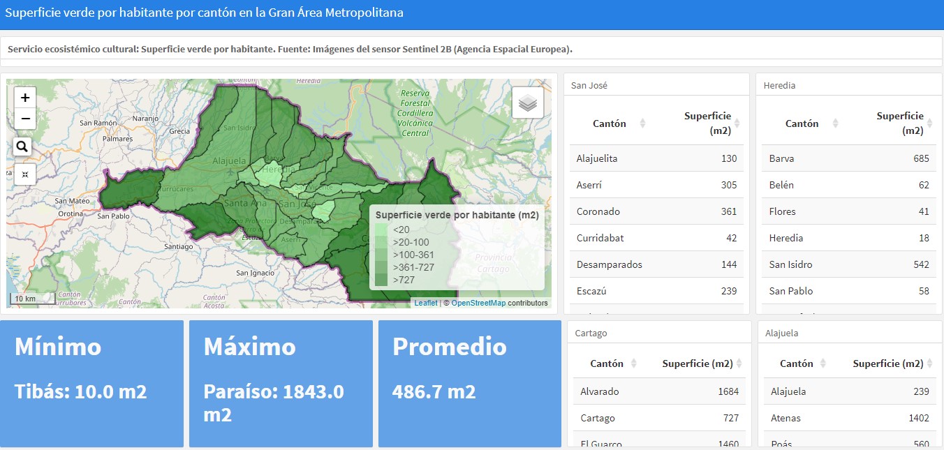
Generate, through the processing of current satellite images in a geographic information system, the necessary geospatial information on biodiversity, built space, surface temperatures, green and blue infrastructure, among others, in order to have the "raw material" for the development of the Atlas. For this purpose, Landsat 8 and Sentinel 2B sensor images were used, which were processed and analyzed by personnel with knowledge in database management and remote sensing, as well as understanding of the social-spatial relationship.

  • CATIE had previous experience in similar projects with some municipalities of the Greater Metropolitan Area of Costa Rica, so there was already a starting point.
  • Geospatial information was available in sufficient quantity and quality; data collection was not an obstacle.
  • Multidisciplinary work team with adequate technical capabilities.
  • Interest and a clear need on the part of the relevant authorities for the information to be generated.
  • Clear focus on what information is needed to build the tool.
  • Once the information has been generated, it is necessary to review it in order to analyze which of all the sources of information most accurately represents the physical-environmental state of each site.
  • The information needs to be strategically processed and communicated to specific target groups so that it can be used in decision making.