Community development on the outskirts of Pendjari National Park
Snapshot Solution

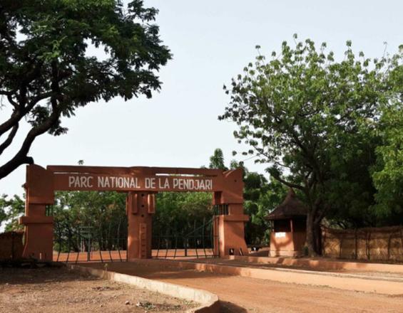
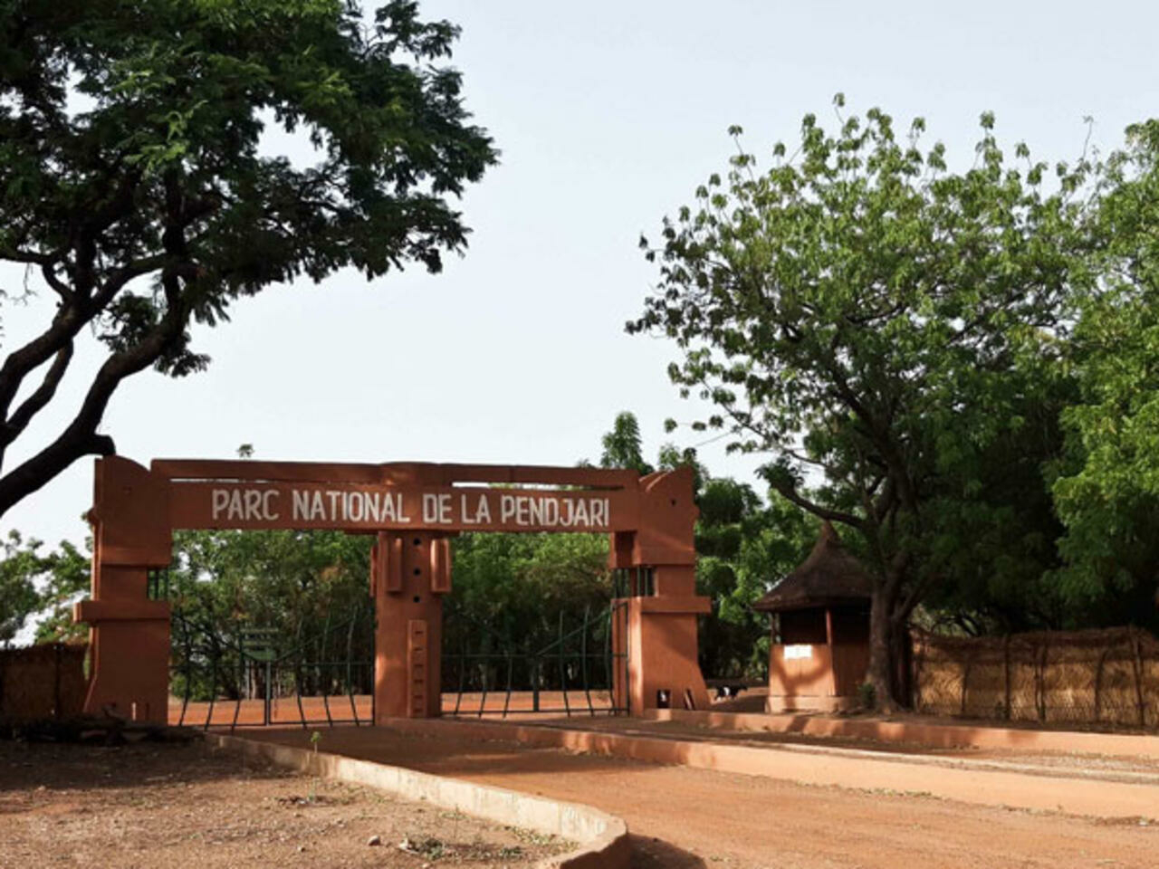
Pendjari National Park
Pendjari
The Pendjari Biosphere Reserve (including the Séri-Kérou zone) covers 05 communes (Tanguiéta, Matéri, Kouandé Kérou and Banikoara). It includes the Pendjari National Park, three hunting zones, a Zone d'Occupation Contrôlée (ZOC) and a resource exploitation zone, used by around 100,000 inhabitants living on the outskirts in 55 villages. These populations mainly practice agriculture (cereals, pulses, roots and tubers and cotton as a cash crop), extensive livestock farming, fishing and hunting. Local rural communities also use the park's resources to meet some of their basic needs.
The assets (strengths and opportunities) that characterize this protected area include:
- High biodiversity, forming an integral part of the largest Protected Area in West Africa, with one of the most intact ecosystems in West Africa;
- The existence of new and operational infrastructures.
Last update: 17 Feb 2023
2140 Views
Photo and video gallery
Impacts
The ZOC's sustainable land use and management policy is based on the elaborated Land Use Plan (LUP). This is the frame of reference for any development to be carried out by the park management or a partner.
The communities of the 28 riparian villages living in the ZOC or exploiting its lands are well informed and aware of the objectives and results expected from the implementation of the LUP. This is reflected in their cooperation and collaboration in the activities carried out by the various village management bodies.
A dynamic of consultation and dialogue between the main stakeholders concerned by the use of land and related resources in the ZOC has been established. This creates favourable conditions for the prevention of conflicts between farmers and between farmers and herders (the most recurrent) during the rainy season.
The land management system currently being implemented is perceived by vulnerable groups, notably the Peulh and women, who have difficulty gaining access to land, as an instrument of equity and good governance of rural land for subsistence needs.