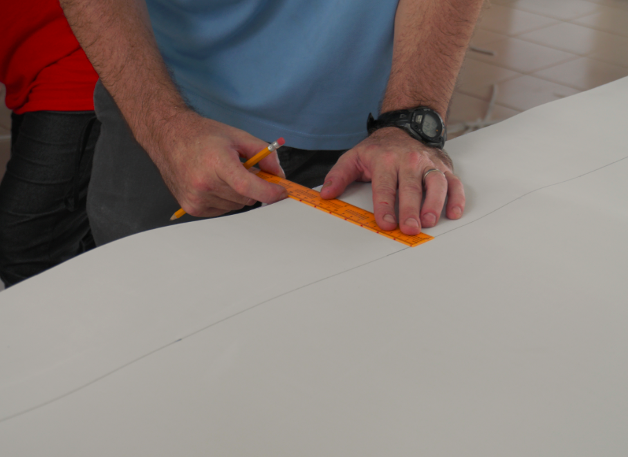

Los aspectos técnicos de la tabla/modelo deben ser cuidadosamente planificados por un especialista en SIG. Las consideraciones clave son: propósito del modelo, recursos naturales y sociales vulnerables, elevación del terreno, superficie del terreno, características marinas y acuáticas, espacio para albergar el modelo y acceso a los materiales del modelo.
La extensión espacial y la elevación del terreno informarán al especialista en SIG de la escala que debe utilizarse. La escala influye en el número de capas de espuma que se utilizarán y, en última instancia, en la cantidad de material de espuma necesaria para crear el modelo. Se requiere experiencia con mapas topográficos y análisis geoespacial.
- El principal factor facilitador es la experiencia técnica en el campo de la cartografía/SIG.
- Si se trabaja en un lugar remoto, el acceso a los materiales del modelo es fundamental y debe organizarse con antelación.
- La capacidad de comunicar conocimientos geoespaciales complejos en ejercicios prácticos y creativos es otra habilidad muy capacitadora.
- Las planchas de espuma funcionan mejor como base que el cartón
- Es necesario recibir información técnica de las partes interesadas sobre las consideraciones clave anteriores meses antes de comprar los materiales.
- Si la elevación del terreno no es muy elevada, el cambio de escala puede crear un modelo exagerado, lo que resulta beneficioso para visualizar las propiedades del terreno y los posibles problemas