Skip to main content
Main navigation
Explore solutions
Network
Resources
News & Events
Contribute solution
Secondary navigation
About PANORAMA
Partners and Collaborators
Communities
Utilities navigation
Newsletter
Manual
FAQ
English
English
Français
Español
Deutsch
Italiano
中文
العربية
Bahasa Indonesia
한국어
Русский
Português
日本語
Nederlands
Türkçe
User account menu
Log in
Register
West Asia, Middle East
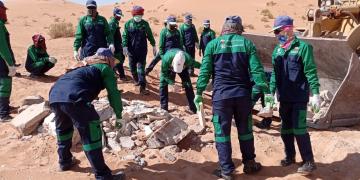
Reviving Nature: The Cleanup Success Story of King Abdulaziz Royal Nature Reserve
Taghreed
Alsaleem
East and South Africa
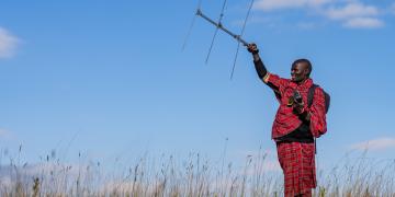
Securing Sustainable Lion Populations and their Connectivity through Promoting Coexistence with Communities in the Ngorongoro Conservation Area.
Ololotu
Munka
Southeast Asia
South Asia
East Asia
Community-Based Ecological Mangrove Restoration (CBEMR)
Jim
Enright
5 Building blocks
Community awareness, participation and stewardship
Historical and ecological background information collection
Site suitability assessment
Customized mangrove restoration
Long-term monitoring
Central America
Communities leading sustainable Fisheries Management
Vivienne
Solis-Rivera
6 Building blocks
Community-managed Marine Area
Negotiation and Legal Recognition
Participatory Local Governance
Fishery Database
Responsible Fishing Code of Conduct
Sustainable Ecotourism
East and South Africa
Public-private partnership to develop a climate-proof PA network
Kerry
Maree
3 Building blocks
Systematic Biodiversity Planning
Promoting application of biodiversity planning products
Biodiversity stewardship contracts with private land-owners
South America
Climate sensitive planning
Guilherme
Fraga Dutra
4 Building blocks
Legislation for Municipal Restoration Plans
Climate Change Vulnerability Assessment
Awareness raising storylines
Joint adaptation planning
East and South Africa
Tourism Concessions for Development in Community Conserved Areas
Lamson
Maluleke
3 Building blocks
A clear rights framework for community ownership
Community agreement for land conservation
Property associatation, accountable to community
Caribbean
Mitigating human impacts on coral reefs
Jaime Manuel
González Cano
3 Building blocks
Mentoring national park staff
Underwater art museum
Restoration of coral reefs
West and Central Africa
Community Mangrove Restoration within the Muni-Pomadze Ramsar Site, Ghana
Jacqueline
Kumadoh
4 Building blocks
Communication of challenges and solutions
Development of new sustainable decision-making skills
Participatory development of alternative livelihoods
Participatory landscape management
Oceania
Food security and climate change adaptation in an Atoll community
James
Hardcastle
Pagination
Previous page
‹‹
Page 189
Next page
››
Subscribe to Local


")