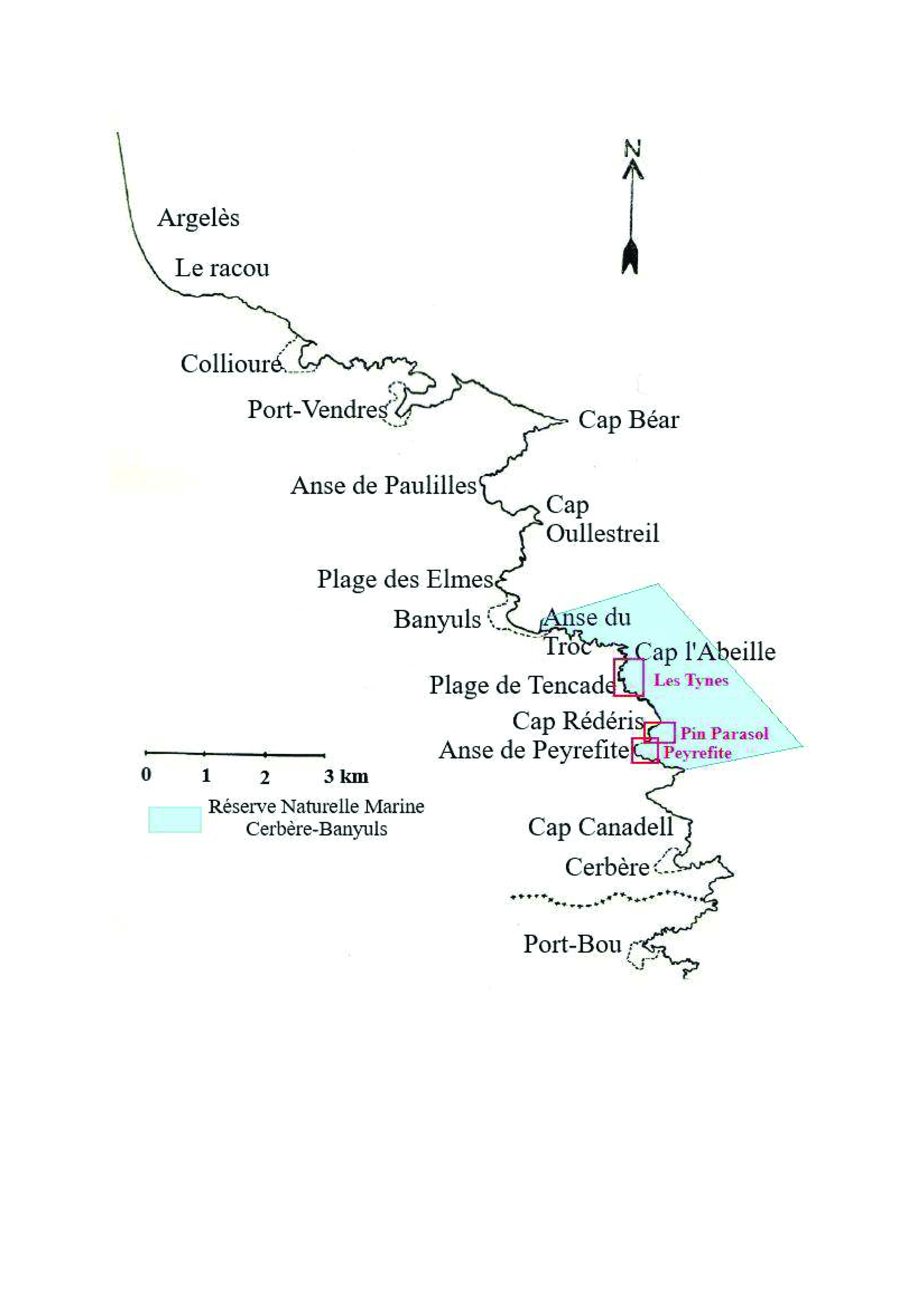

During this survey, the Nature Reserve's launch was made available to study the shallow coastal waters. With a length of 8 meters
equipped with sounder, GPS and radar. To complement this equipment and obtain the finest possible accuracy, the launch was equipped with a differential GPS operating in real-time WAAS/EGNOS metric mode, with an accuracy of the order of 1 to 2 meters. An RTK (Real Time Kinematic) system was used for greater precision during the investigations. Its beacon was placed on the roof of the Cap Béar semaphore, close to the survey area. This is a method whereby GPS signal corrections are transmitted in real time from a reference receiver, located at a precise known point, to the boat's mobile receiver. Accuracy can then be
centimeters if you are close to the reference receiver.
It is essential to identify the partners who can meet the objectives set by the manager. Appropriate resources and local knowledge are also essential to avoid wasting time. Regular exchanges with the partners involved in the project will help to obtain answers and anticipate problems.
It is essential to define very precise specifications so that the monitoring meets the expectations of the service provider, but also so that the use of these new technologies does not distort the comparison with the results obtained during previous monitoring.