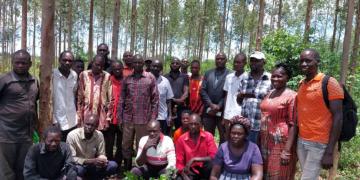
Agribusiness as an approach to incentivize farmers to grow trees
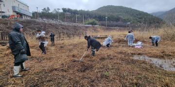
Restoration of degraded land in both forest reserve and on individual private land
Enterprise development through value chain enhancement to sustain tree cultivation and improve livelihoods


")