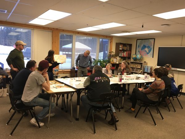


To deepen understandings of distinct perspectives in the Denali region, this project focused on engaging various stakeholders in discussions about the characteristics of the region and how it is managed. We used semi-structured interviews and focus groups. Interviews with residents included questions about participants’ sense of place, perceptions of landscape change, local organizations, knowledge of the landscape, and governance. Participants were identified during the first phase of this study and a snowball sampling approach was adopted whereby participants were asked to nominate others.
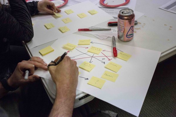
This phase also identified residents’ perceptions of the region as a social-ecological system to understand how communities are anticipating change and lay groundwork for collaborative management that prioritizes social-ecological resilience. This project adopted fuzzy cognitive mapping, which is a participatory tool used to graphically represent residents’ mental image of where they live and how things are connected to one another. This approach allowed residents to map their perceptions of the key features that characterized the region and drivers of change. The individual exercise was administered during a series of focus groups and interviews, resulting in 51 maps that were aggregated to represent a regional perspective.
The main enabling factor was previous work based on building relationships, trust, and local partnerships. Prior to data collection, residents were asked to participate in informal meetings as a basis for introductions and discussion about the project. Residents who engaged in informal conversations were asked to participate in formal data collection. Initial conversations eased residents into the project and fostered trust with researchers. Residents had not previously participated in mapping exercises and appreciated heavy-handed facilitation.
Engaging residents in semi-structured interviews and fuzzy cognitive mapping exercises resulted in an in-depth understanding of the diverse stakeholders’ histories, knowledge, perceptions, and connections to place that could be modeled to anticipate desired visions for the future. This phase of the research process was instrumental for continuing to build relationships with local stakeholders–sharing and opening discussion around the community maps with the local executive committee and the Denali communities–and inform the design of subsequent quantitative phases of data collection. Further, fuzzy cognitive mapping exercises generated an understanding of the Denali region as a social-ecological system as defined by residents. To better interpret findings from fuzzy cognitive maps, collecting and analyzing qualitative data from the focus groups or interviews is recommended. These results can elucidate synergies and gaps in how different stakeholder groups understand the region which is useful for developing communication strategies and participatory approaches for engaging residents in future planning for the region.