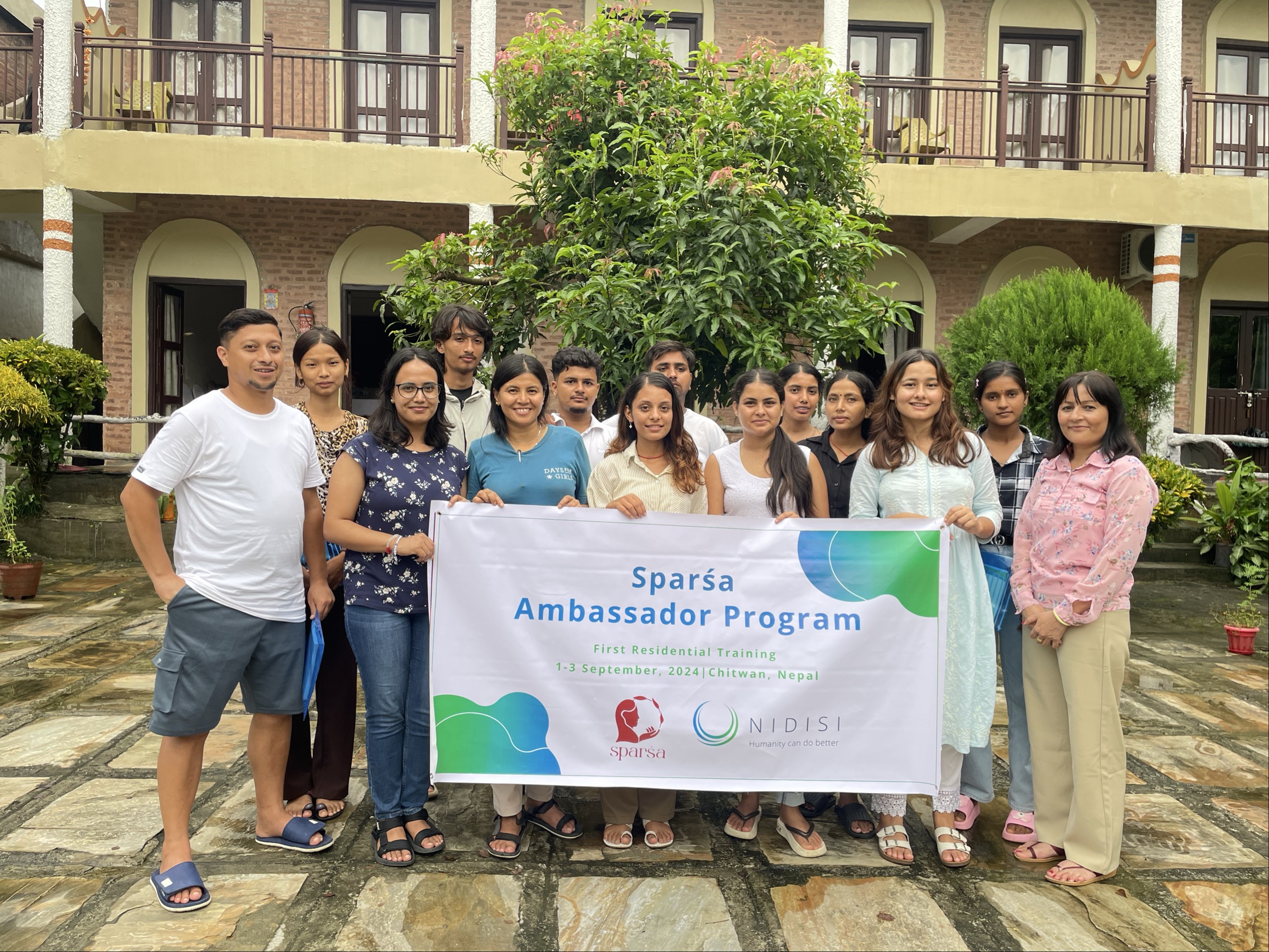
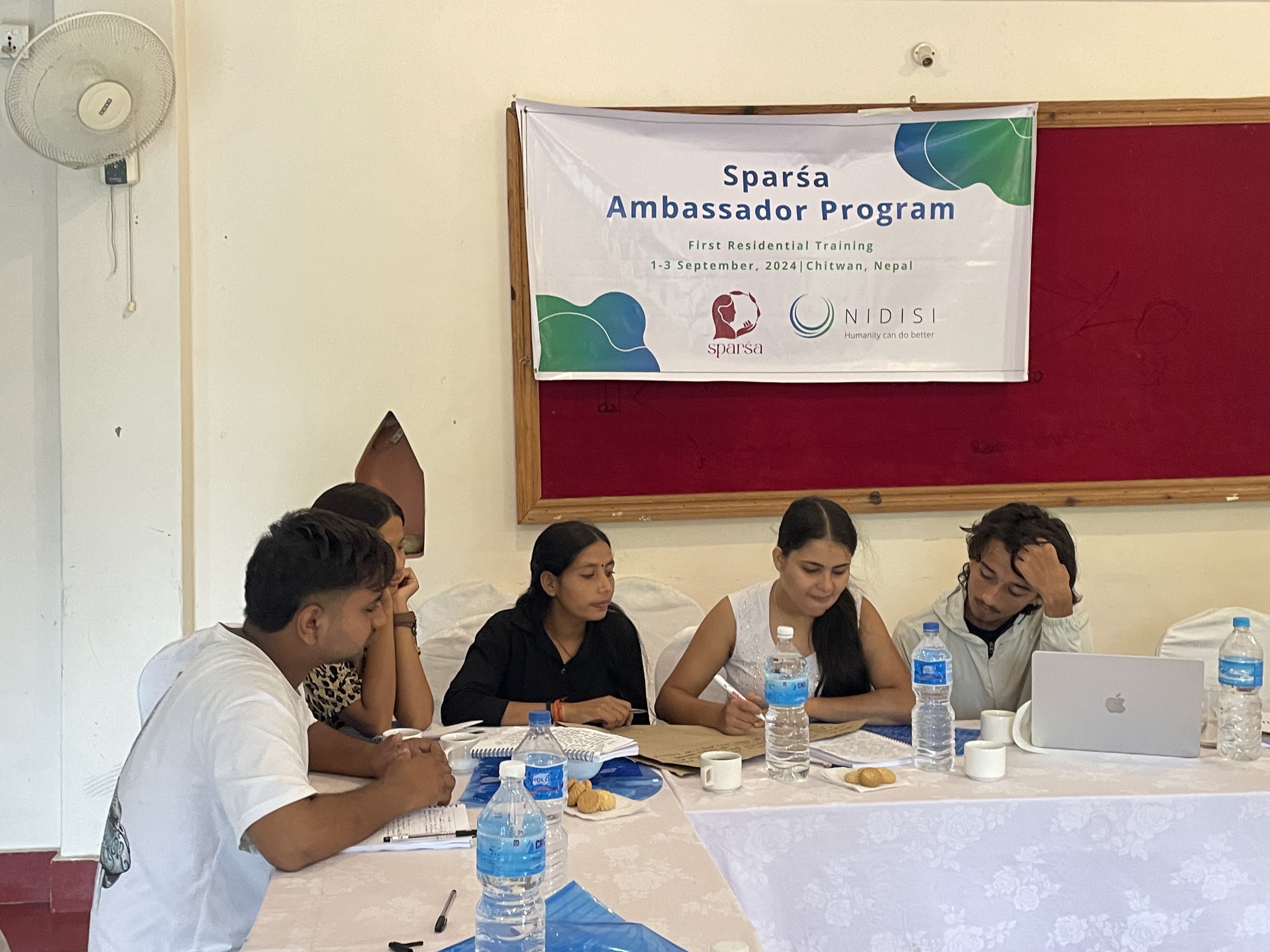
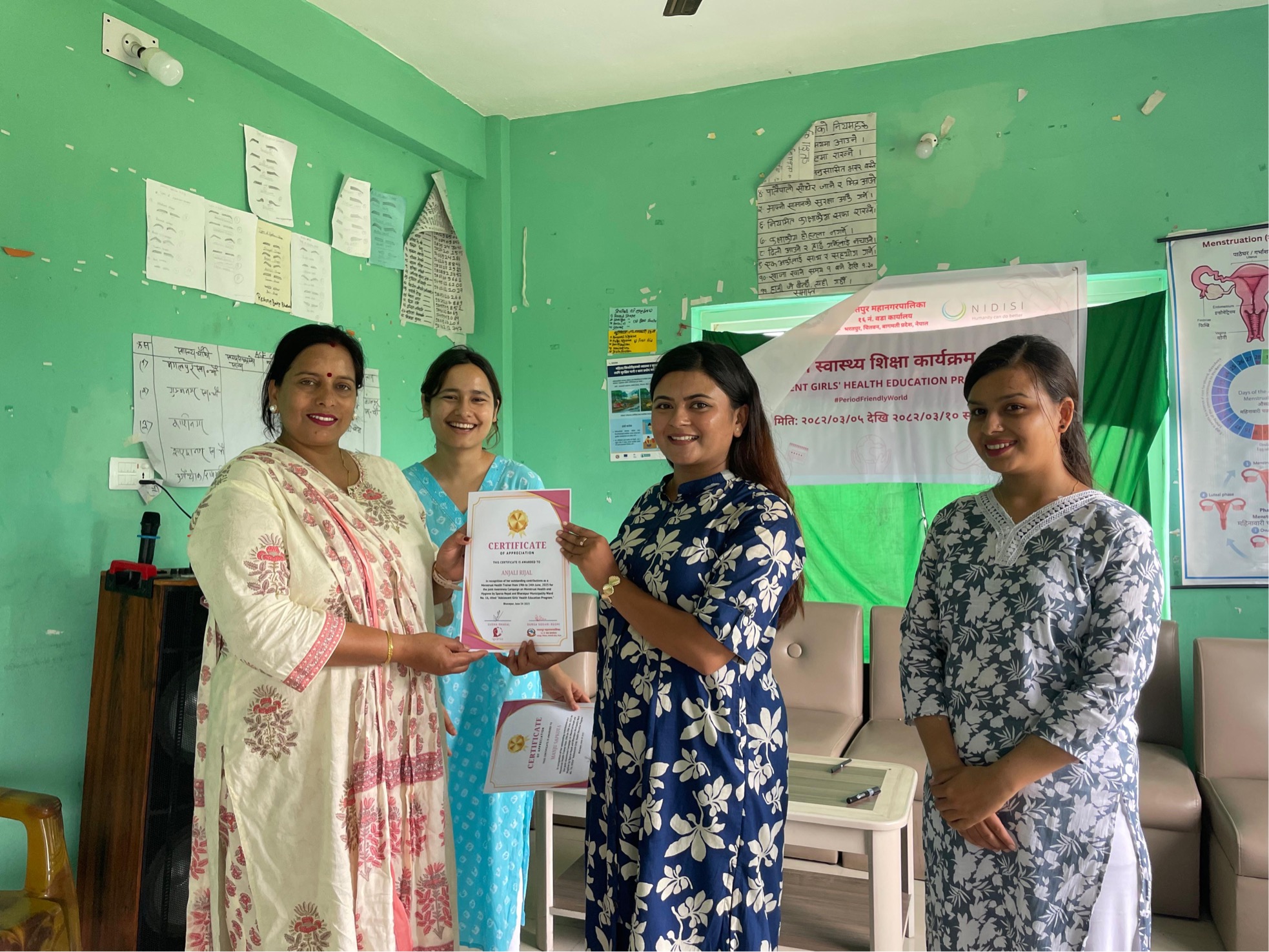
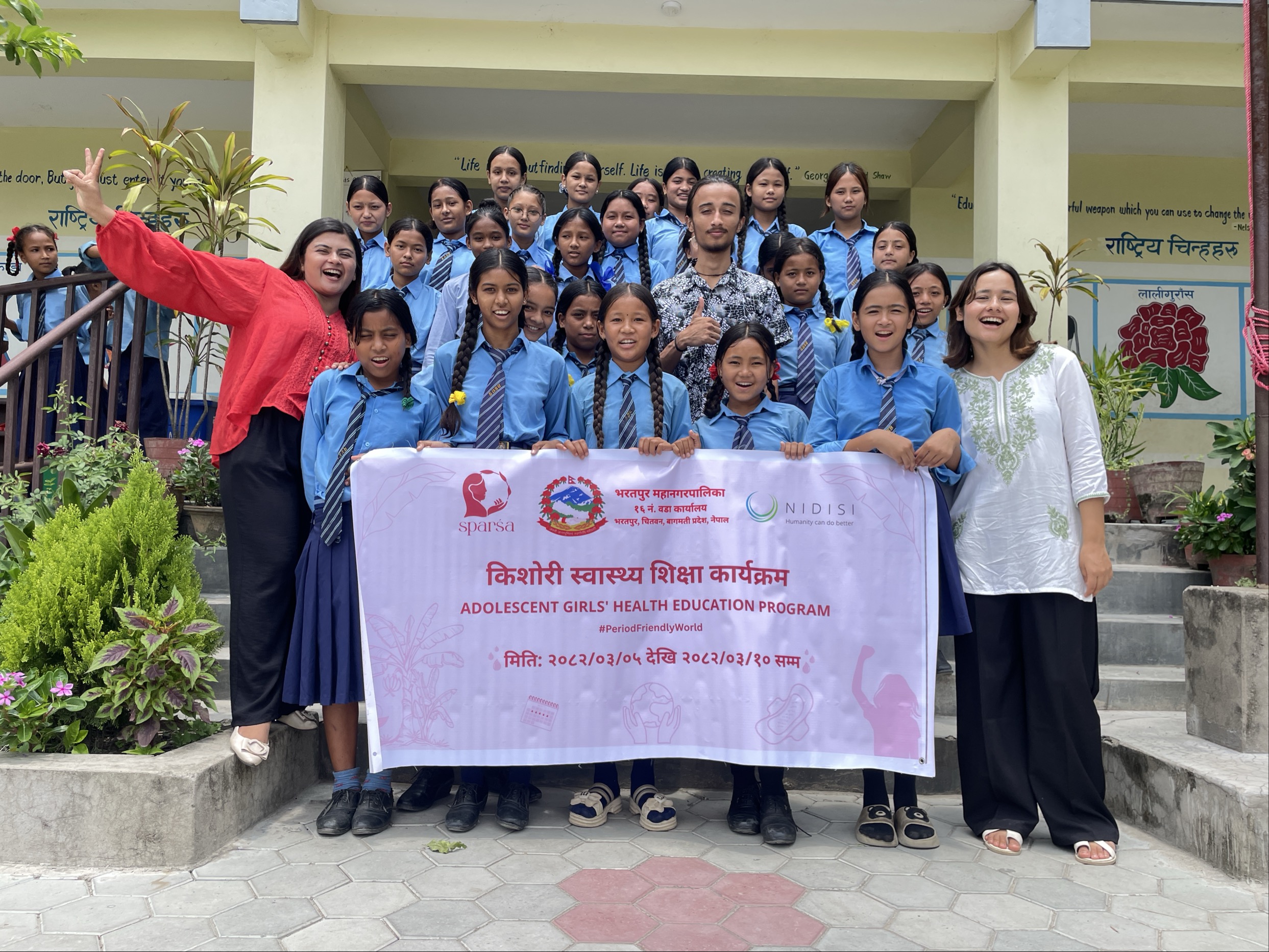
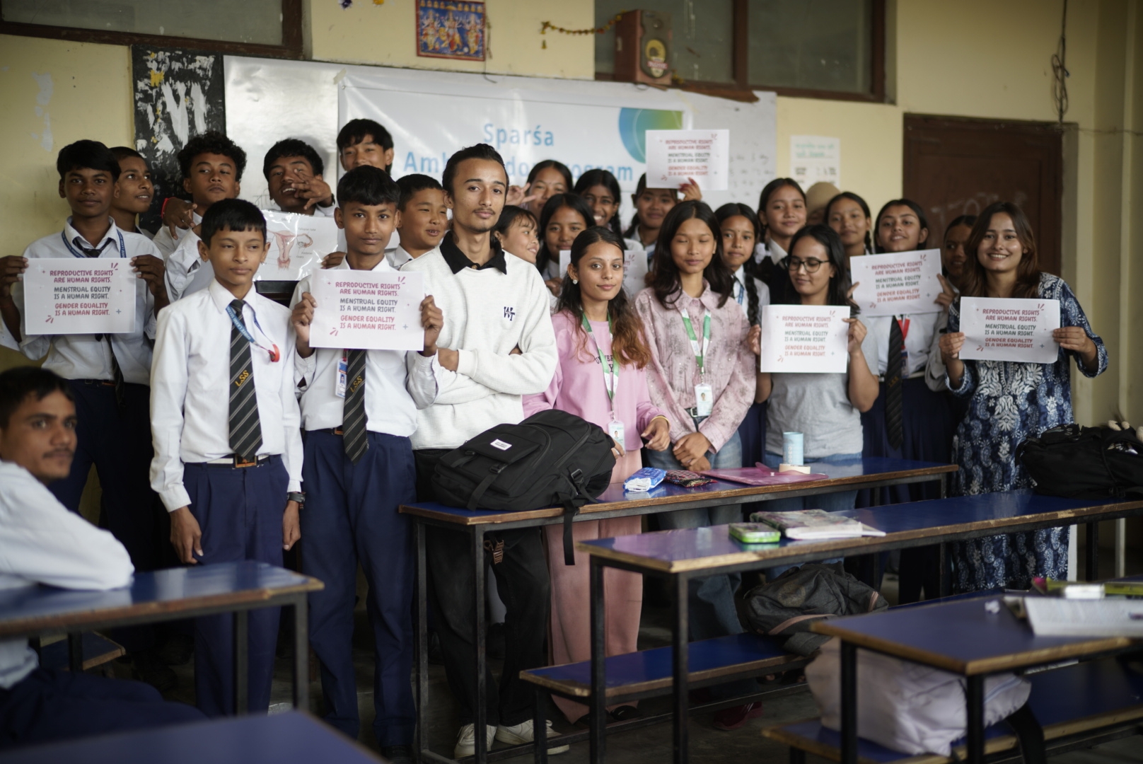
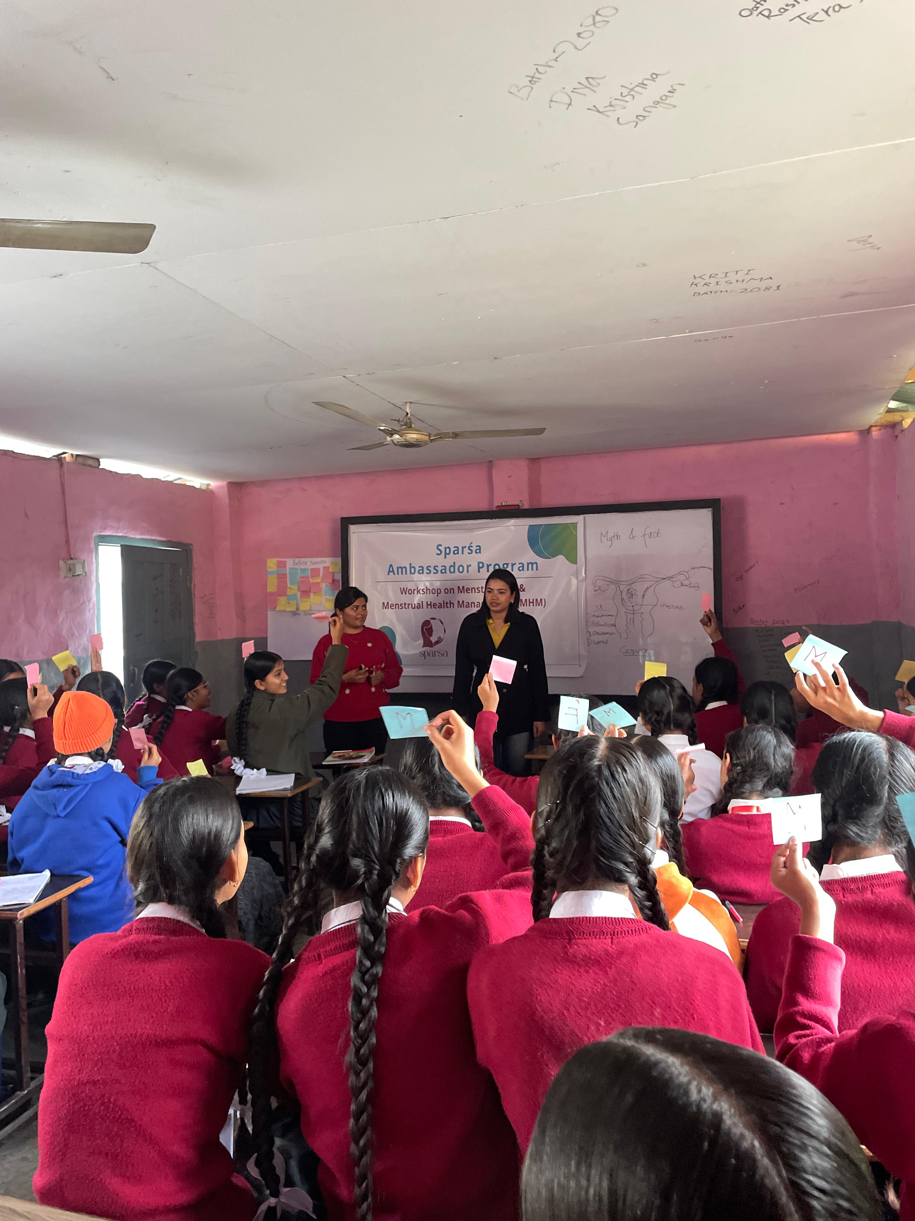
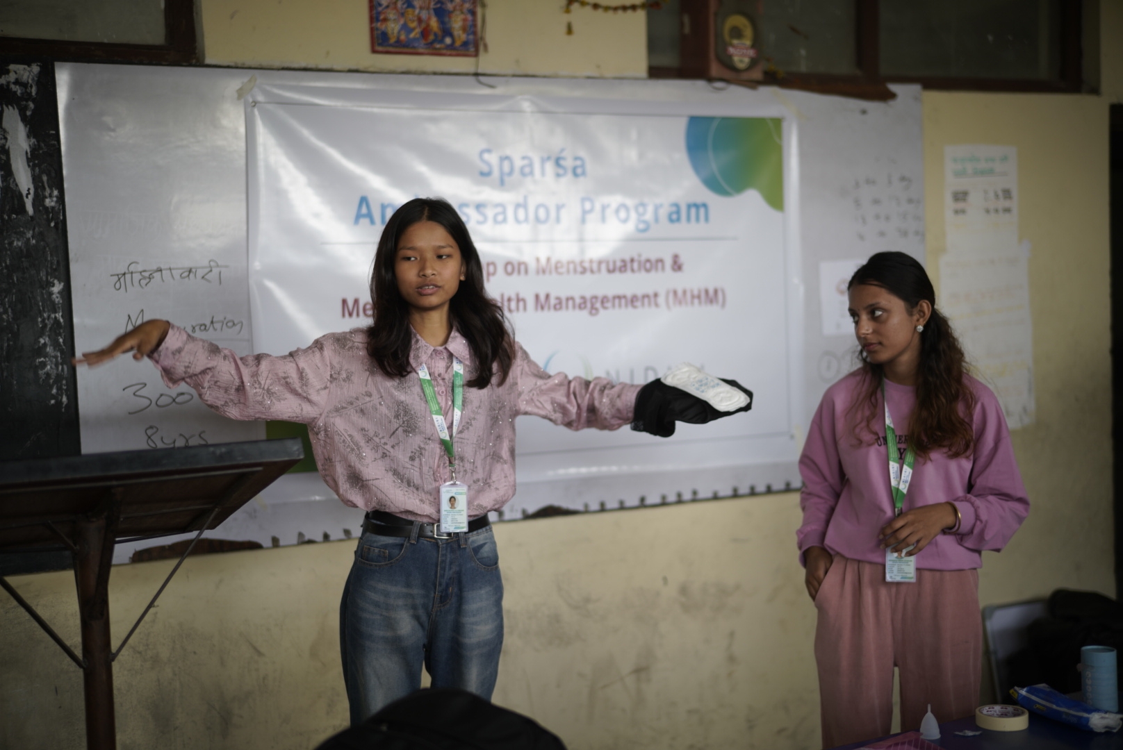
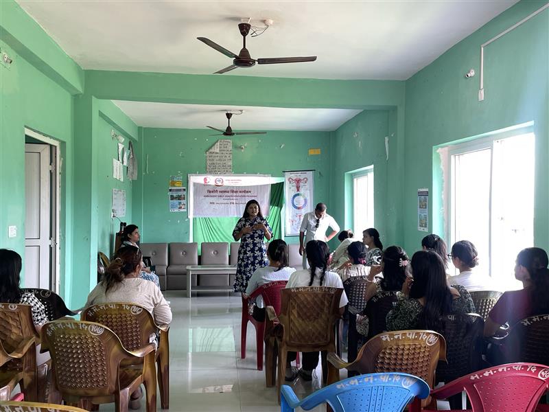
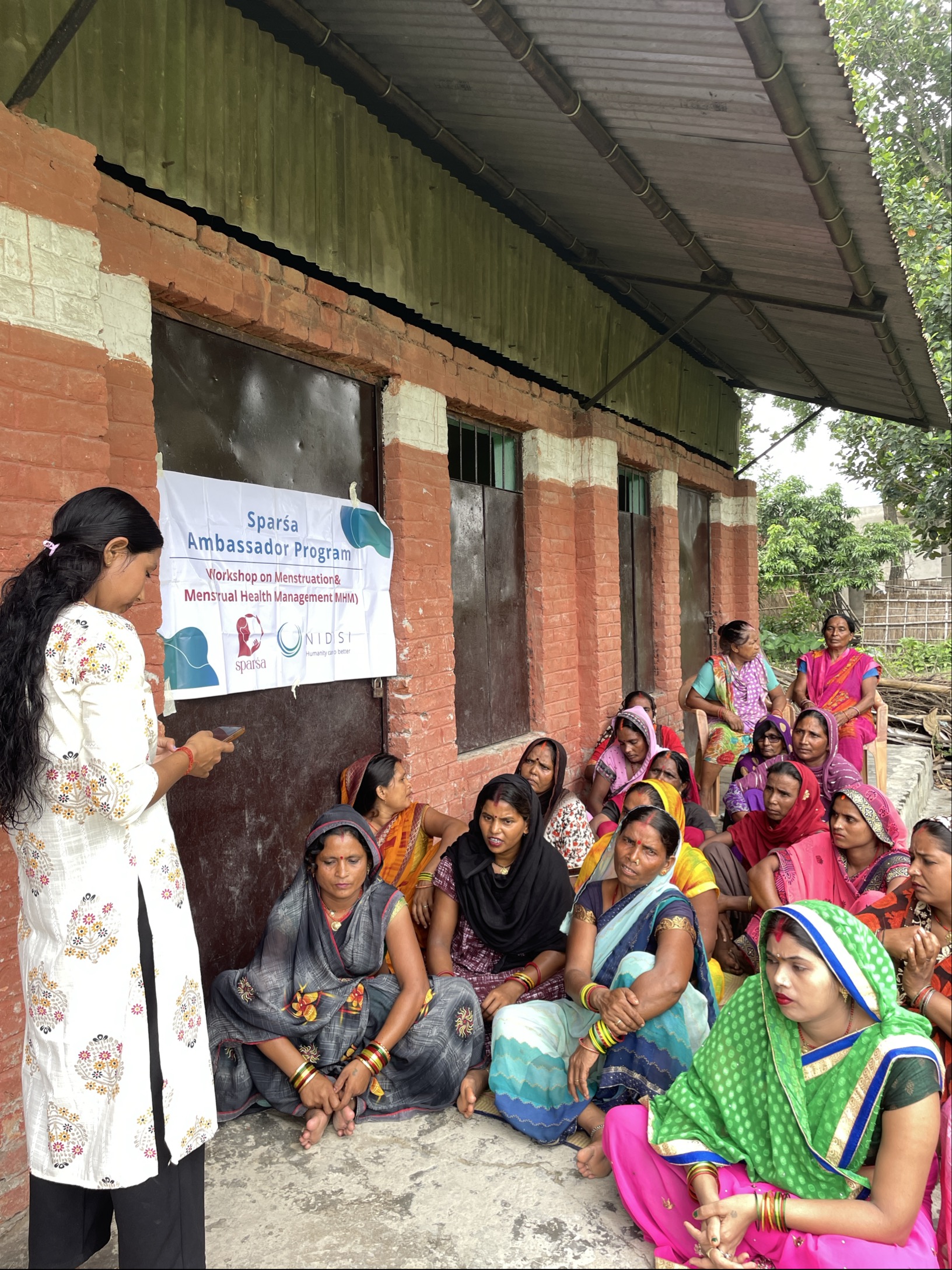
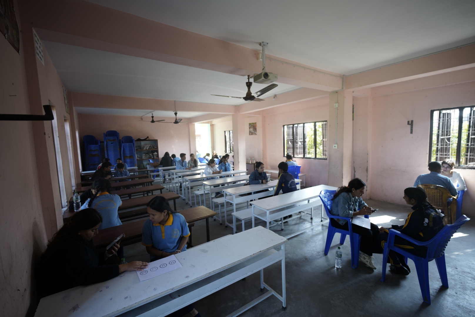
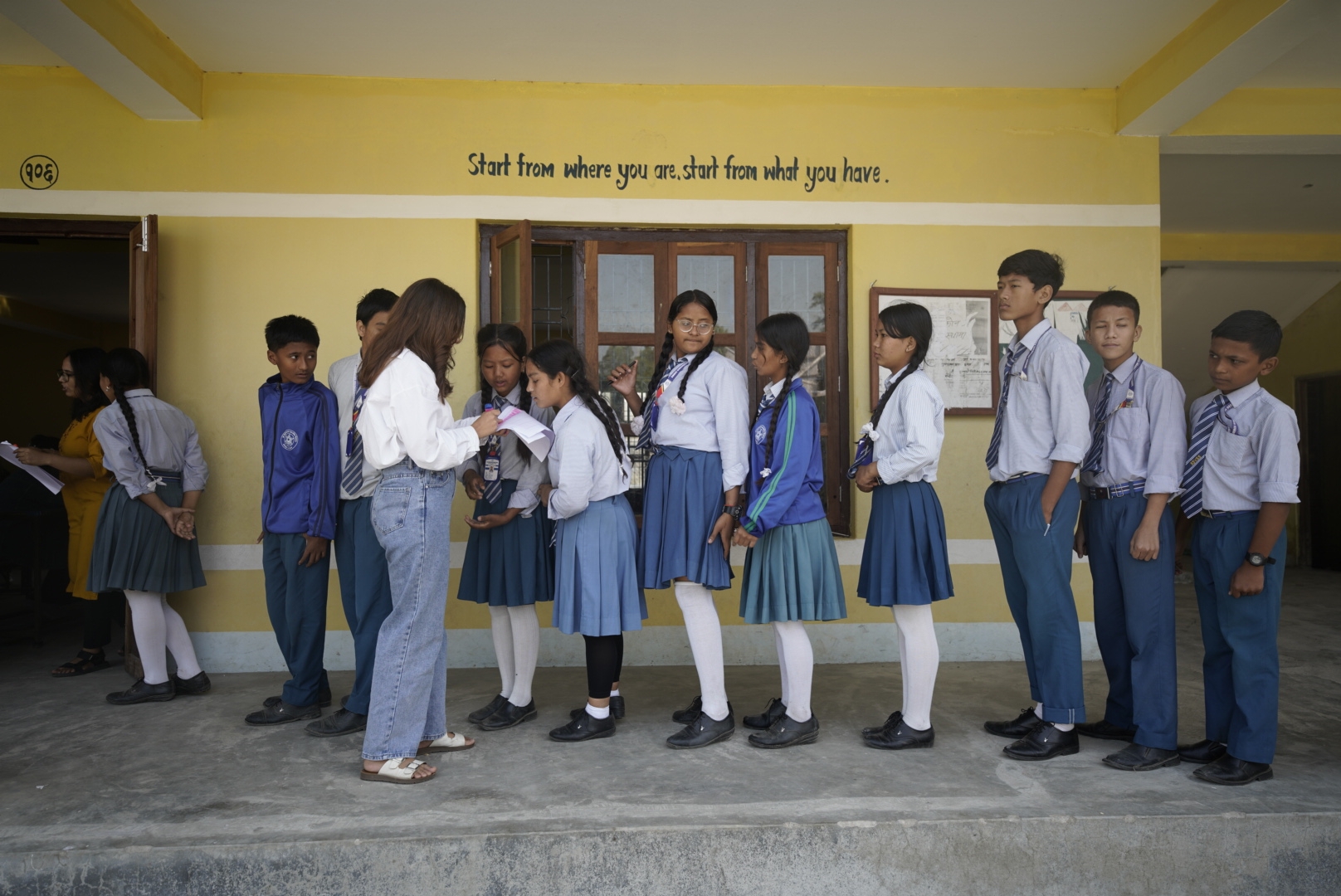
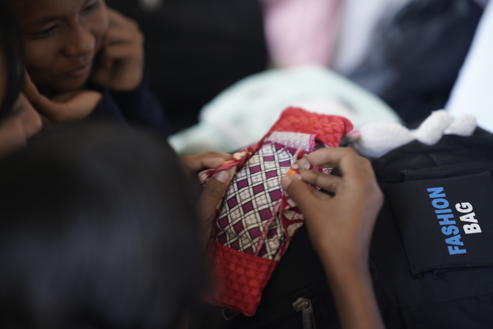
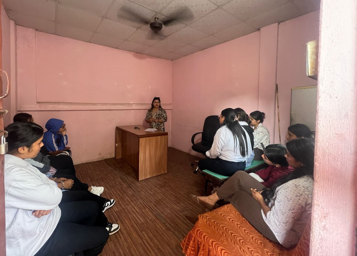
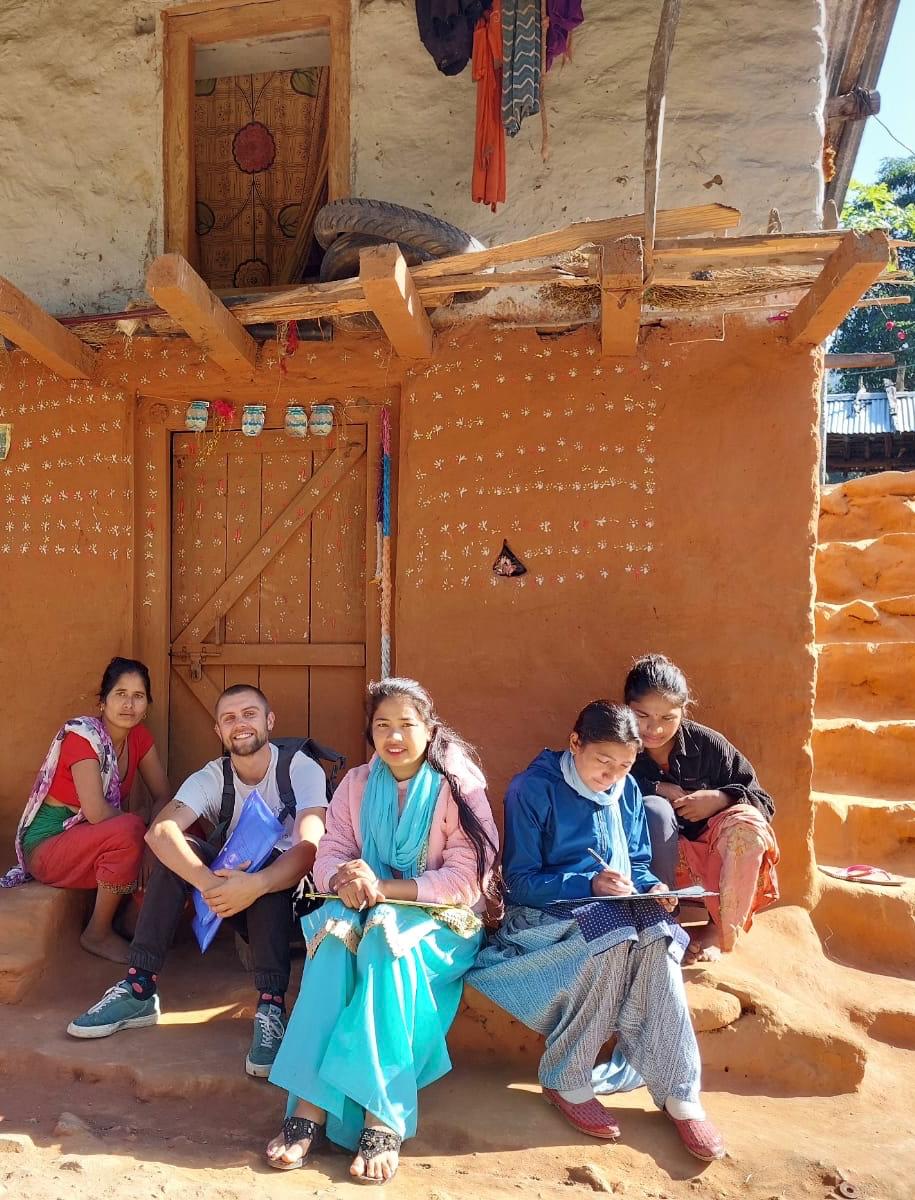
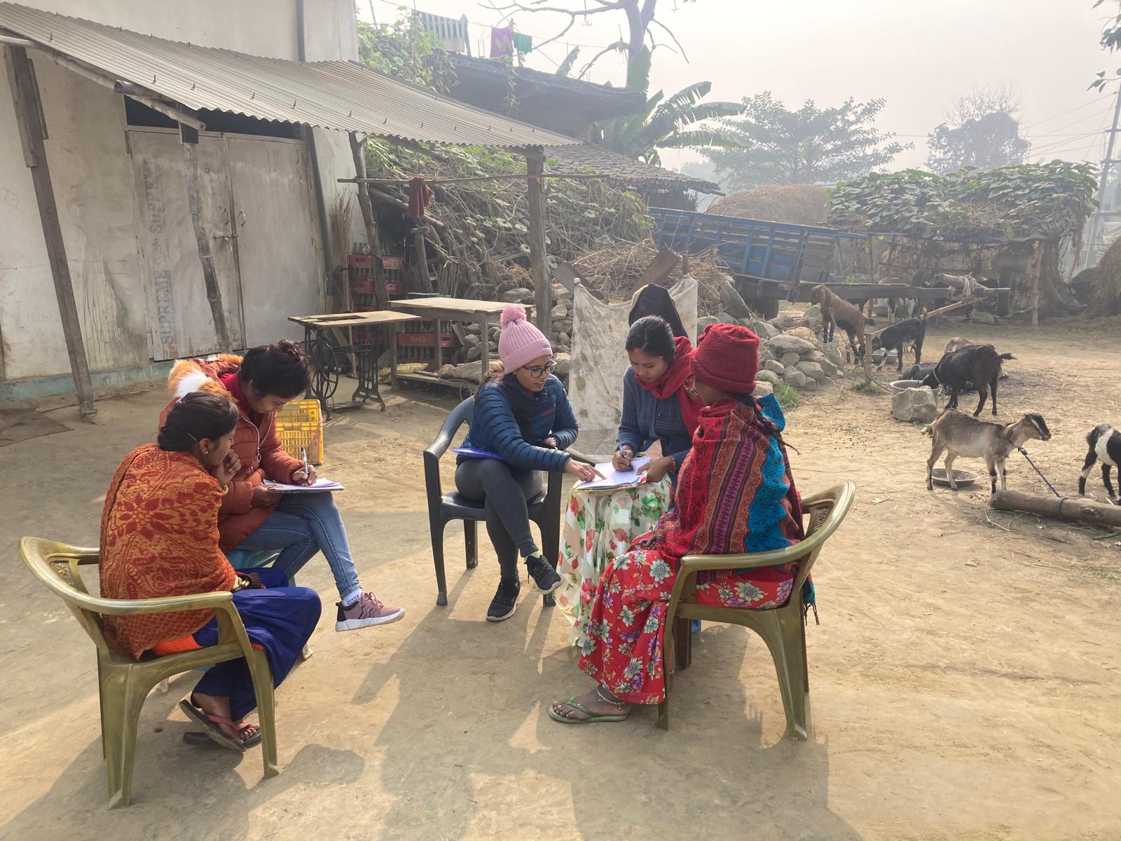
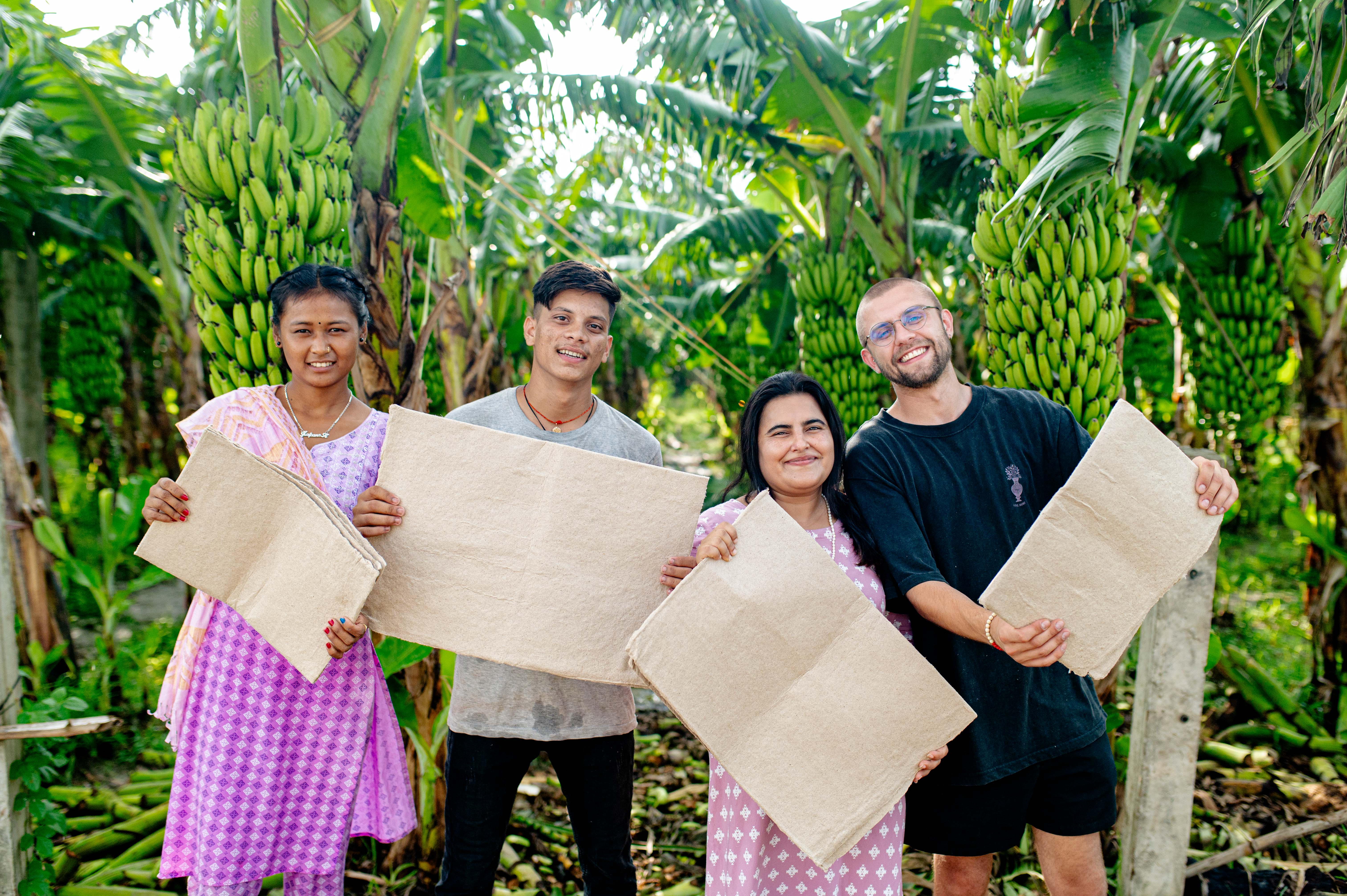
Compostable pads alone are not enough to create change — awareness and dialogue must go hand in hand with product innovation. To address this, Sparśa launched the Ambassador Program, a youth-led initiative that trains young women and men from local communities to become educators and advocates for menstrual health. After intensive training in SRHR, facilitation, and leadership, Ambassadors design and deliver sessions tailored to schools and community groups, using storytelling, games, scientific explanations, and product demonstrations to make menstruation a topic that can be spoken about openly.
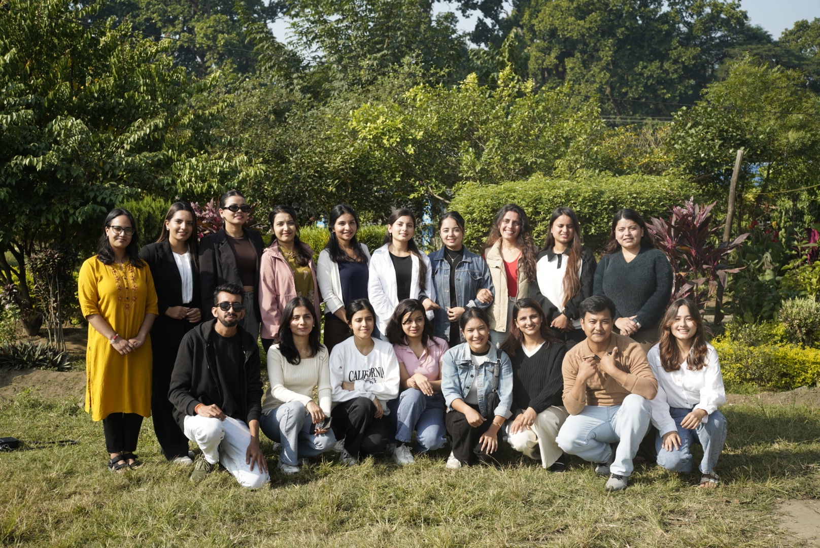
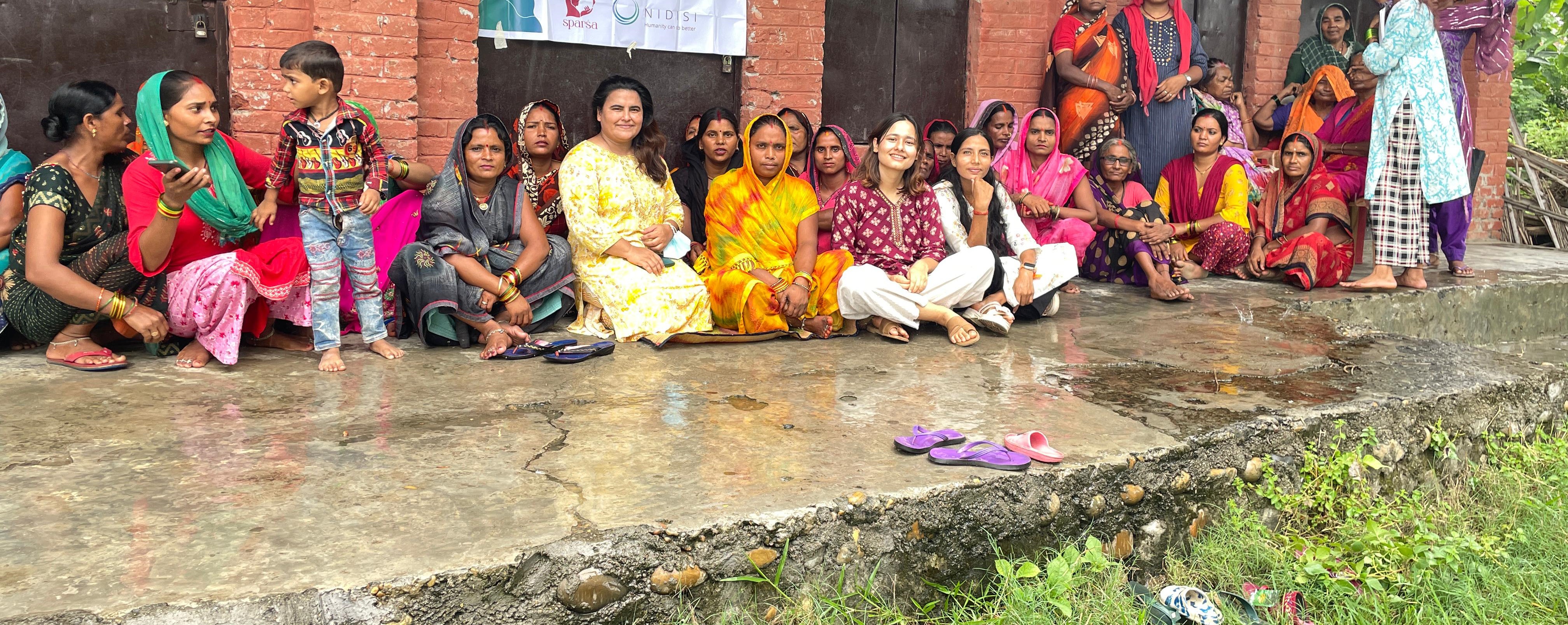
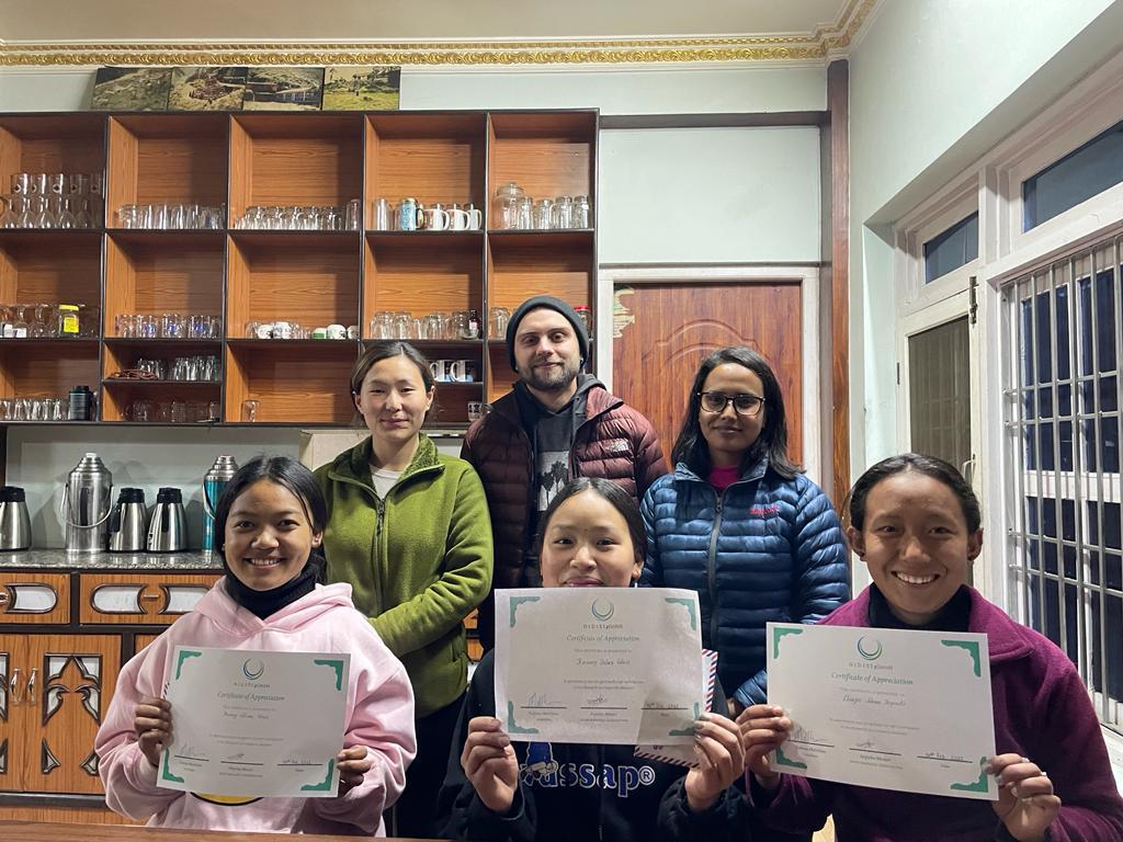
In its first year of operation, the program trained 20 Ambassadors who reached 70+ schools, 7,500 students, and 1,500 adults with stigma-reduction sessions. Both boys and girls are included in school workshops to normalize menstruation and build empathy, while adult sessions focus on myth-busting and dialogue. Beyond knowledge transfer, Ambassadors gain leadership, public speaking, and facilitation skills that strengthen their own futures.
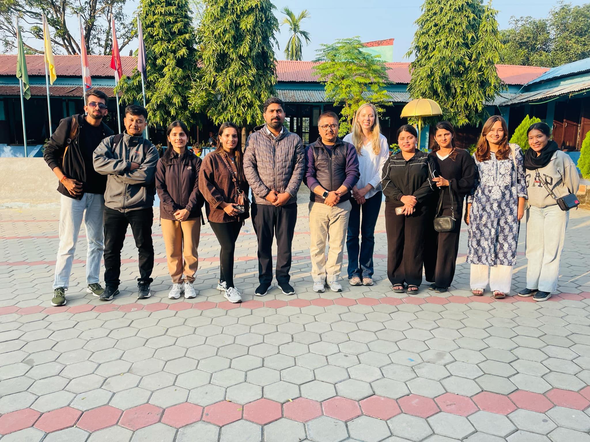
The initiative is described in detail in the published PANORAMA solution Sparśa Ambassador Program: Youth-Led Menstrual Health Education and Stigma Reduction in Nepal. That solution provides practical insights for replication, explaining how to recruit and train Ambassadors from within their own communities, how to engage schools and community leaders to secure legitimacy, and how to design education that is age-appropriate for students while also creating dialogue-based sessions for adults. It also shares lessons on sustaining motivation, offering mentorship, and building long-term community trust.