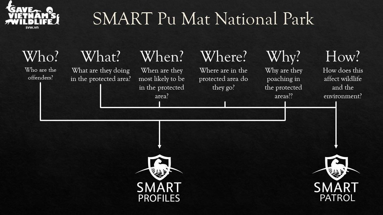

The Spatial Monitoring and Reporting Tool (SMART) is a both a software and a framework that allows forest rangers and anti-poaching patrols to collect geospatial data on their smart phones (via the SMART mobile app), which acts as an advanced handheld GPS. When traps, illegal encampments, animals, or violators are located, the patrol will make a record using the app’s customized “data model” (a customization of the application that creates specific drop-down lists, and decision trees). The SVW data model is based on Vietnamese forestry law, so when any technical gaps are identified in the data model in terms of arrest procedures, non-standard violations, or priority species listed in legislative decrees, it can directly inform and improve policy.
Once data has been collected by patrols on their smart phones, the patrol data (paths walked, km travelled, time spent on patrol, and data recorded) will upload automatically to SMART desktop. This is where managers can evaluate poaching hotspots to apply pressure, and also allows them to monitor the effectiveness of the patrols themselves. With each new data input, data managers are able to adapt to the situation and adjust their team and patrolling regimens accordingly.
- Cooperation of park managers enabling SVW anti-poaching team to operate in the park
- Rangers willing to learn new technologies and agree with directional planning from younger, newer employees that have less experience and seniority in the protected area.
- Intensive and effective training of anti-poaching teams and willingness of members to perform intensive work in the field collecting data and, in the office, managing and reporting the data outputs.
- Functioning SMART software and available equipment (smart phones)
- Data managers are vital to the success of intelligence reporting and planning, and should be separate from patrols so they can focus specifically on data management tasks alone. Rangers and team members often forget to turn off their track recorder during breaks, in transit, and after they finish working. As a result, data managers must clip and clean data to maintain reporting accuracy.
- At the learning phase, mistakes are common in the first year of data collection and processing, and are to be expected. It is best to identify the most common errors early on and address them with all participating patrols to ensure data viability moving forward.
- SMART Connect is a solution to centralizing data collected from multiple ranger stations or sites. However, SMART Connect servers require expert technical assistance to set up and maintain. If they are set up through a third-party service, server issues rely on the third-party service technical support, and data sovereignty laws may prevent access to this option altogether.