Strengthening Communication and Advocacy for Women's Health and Rights
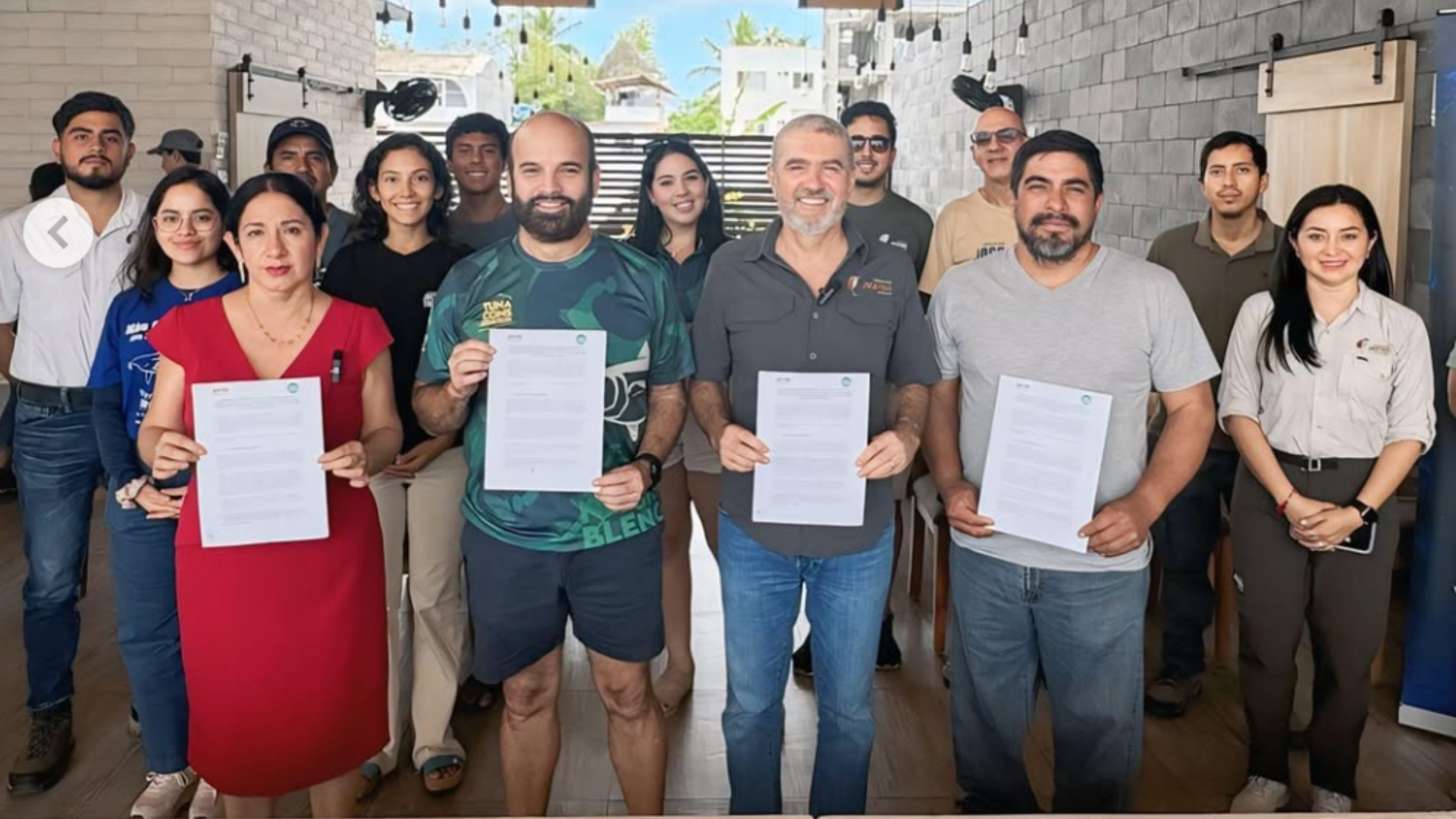
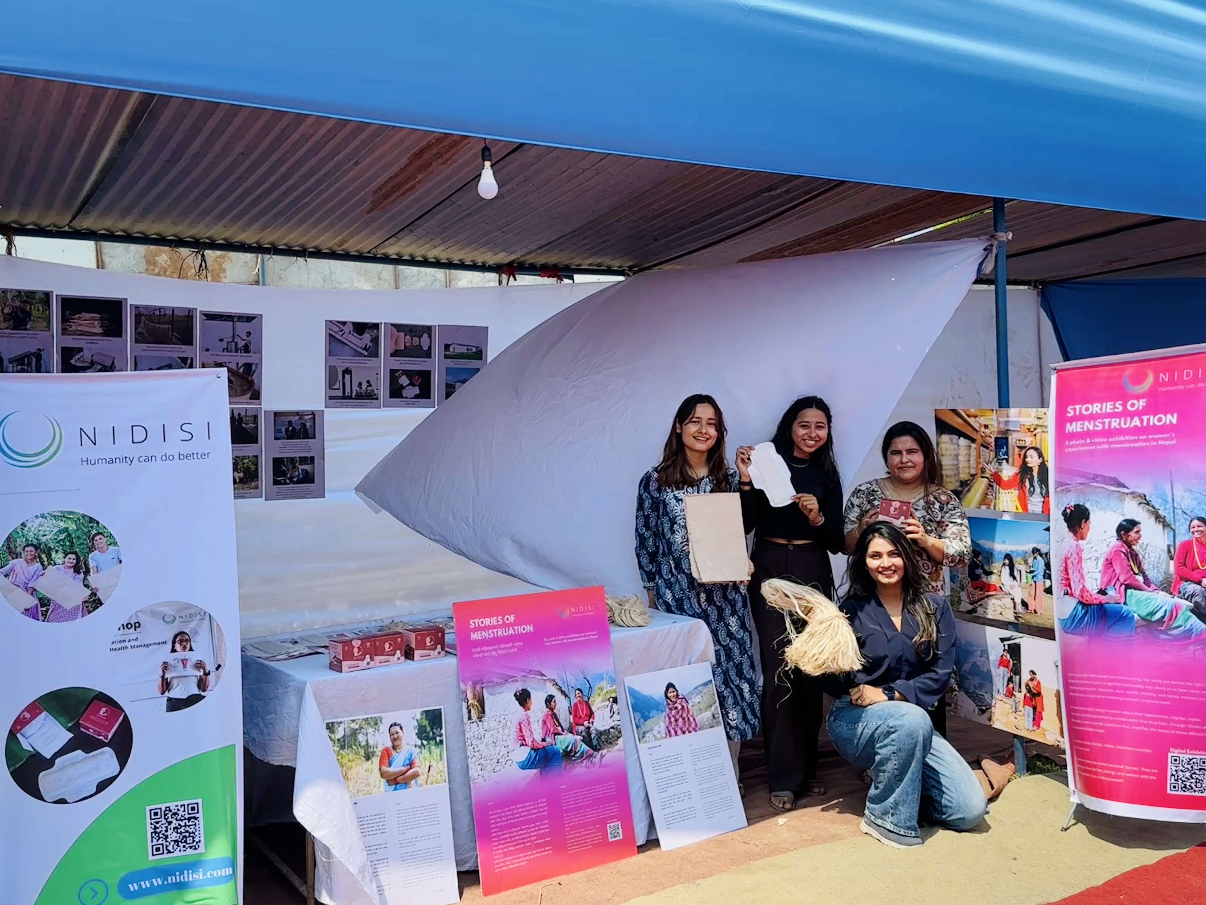
2025 Chitwan Expo project stand
NIDISI
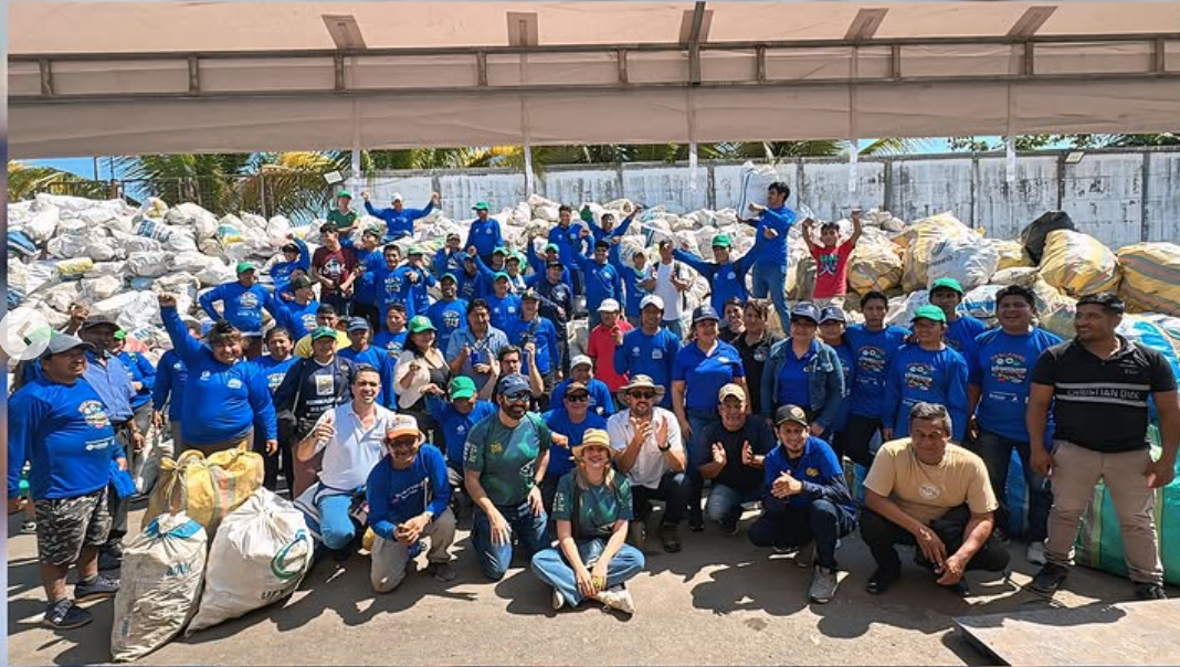
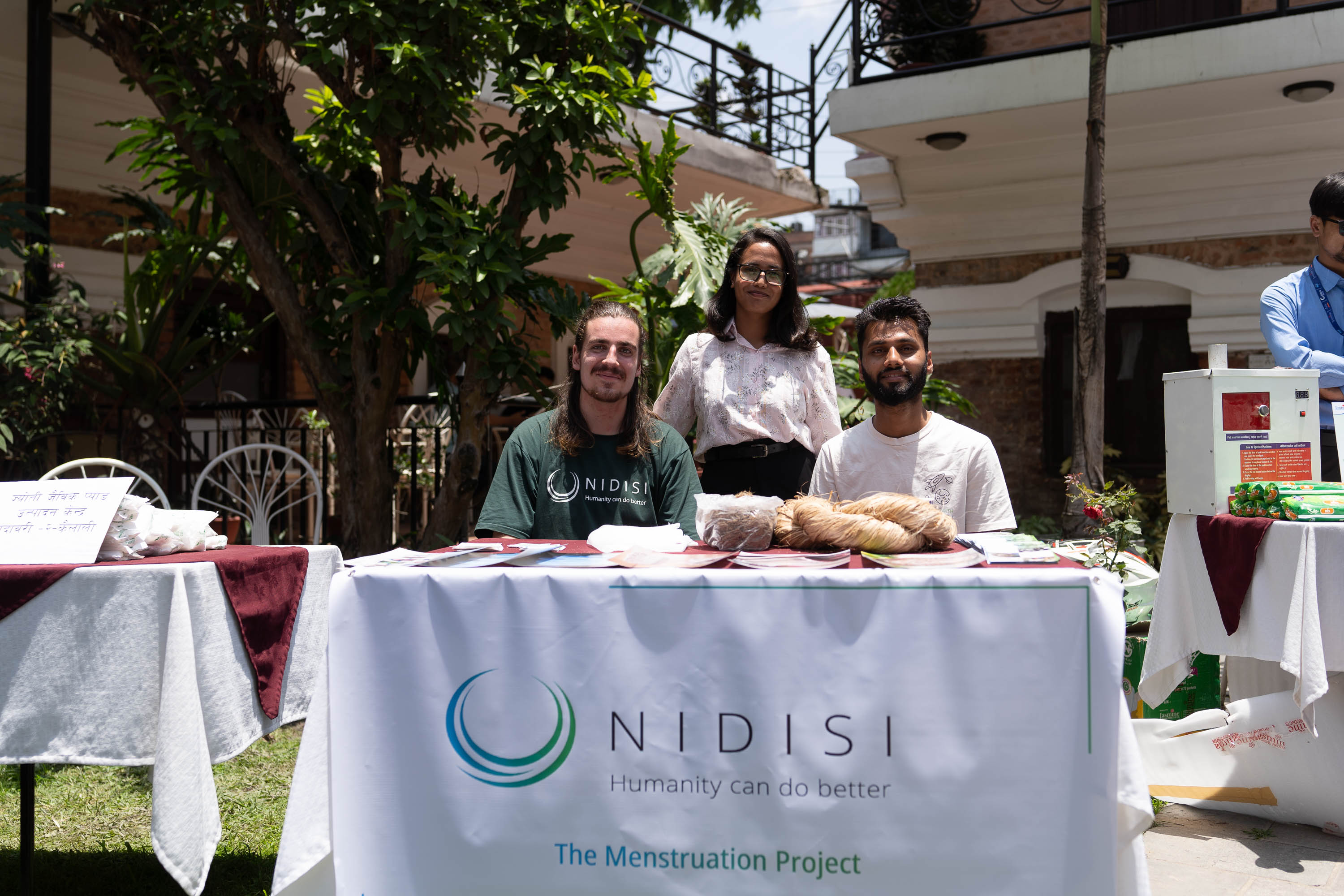
2022 Project stand MH Day in Kathmandu
NIDISI
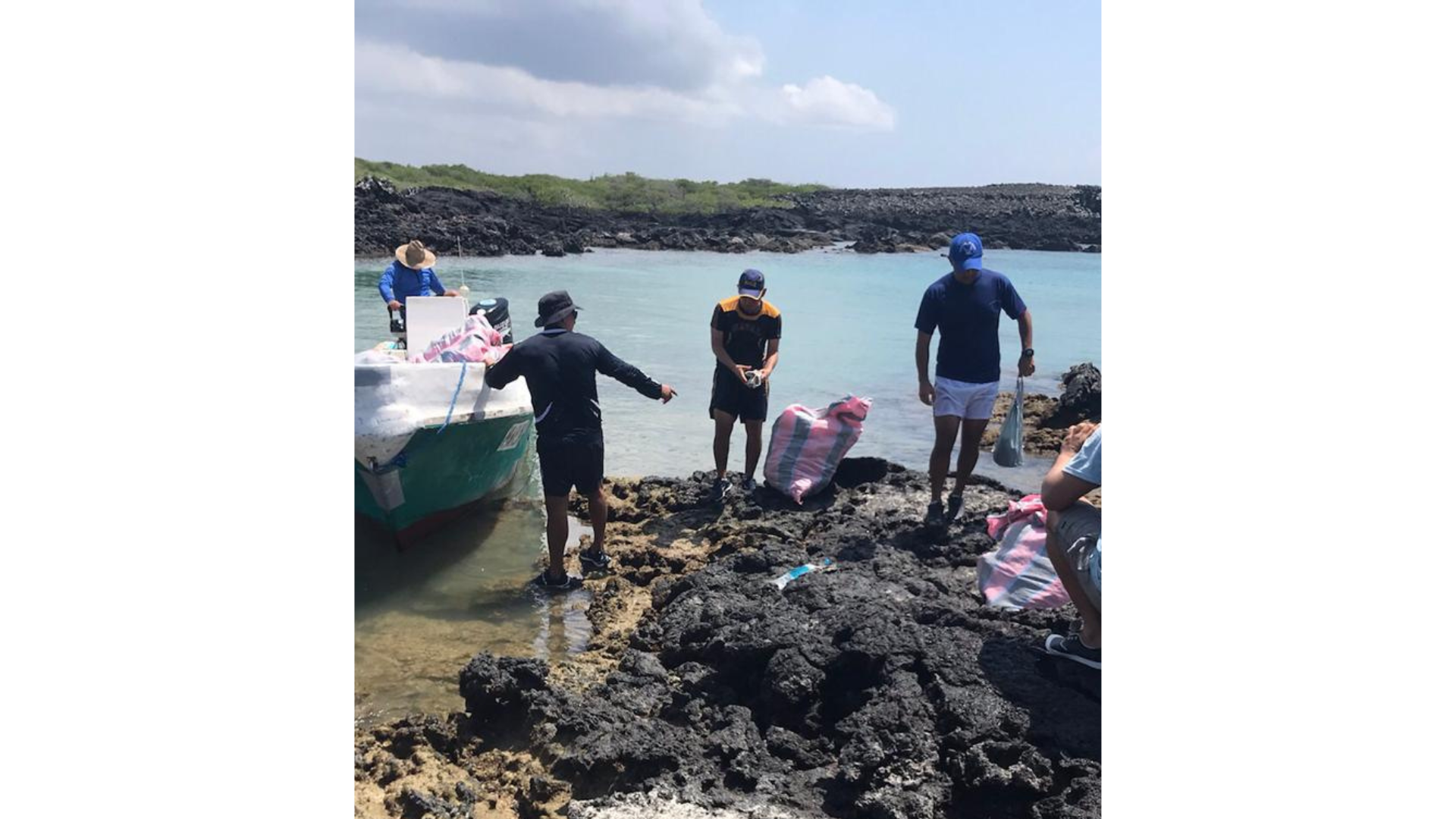
2022 Project stand MH Day in Kathmandu
NIDISI
This building block focuses on communication and advocacy as essential tools for creating systemic change—not just spreading information. Menstrual health is deeply personal but also shaped by institutional silence, stigma, and policy neglect. To challenge these patterns, the way we communicate must be intentional, inclusive, and tailored to each audience.
We develop distinct strategies for different stakeholders: government actors require policy-aligned framing and formal presentations; schools and youth respond better to creative, interactive materials; funders seek clarity, evidence, and long-term potential. Understanding what matters to each group—and delivering it in their language—has been key.
At the same time, we frame menstrual health as part of larger social goals: education, gender equality, environmental sustainability, and health equity. This framing helps broaden the base of support, positioning the issue within mainstream development agendas and attracting allies beyond the menstrual health space.
Advocacy happens through both formal and informal channels. While we participate in national alliances like MHMPA Nepal to shape policy and coordinate campaigns, we also invest in everyday conversations with local leaders, NGOs, and school staff. In both spaces, trust and consistency matter as much as messaging.
Strong communication gives menstrual health a visible, legitimate place in public life. It opens doors to new partnerships, mobilizes communities, and helps dismantle the silence that sustains discrimination.
Audience-Centered Strategy:Effective communication starts with understanding your audience—what they care about, how they process information, and what motivates them. Tailoring messages to these needs increases engagement and reduces resistance.
Trusted Local Messengers: Messages are more impactful when delivered by people the community already knows and respects—such as teachers, nurses, or local leaders. These messengers help bridge gaps of language, trust, and authority.
Framing Within Broader Agendas:Linking menstrual health to national priorities like education, gender equity, and environmental protection helps position it as a shared development goal, not a niche issue.
Clarity and Consistency: Maintaining a clear mission, unified voice, and visual identity across all materials and channels builds brand trust and recognition—especially important when working with multiple partners.
Presence at Multiple Levels: Being visible at local, municipal, and national levels creates reinforcement and allows the message to travel more effectively across different parts of the system.
Use of Storytelling and Visual Media:Creative communication tools—videos, graphics, real-life stories—help translate complex or taboo topics into emotionally resonant and relatable messages.
Bilingual and Culturally Relevant Materials: Developing materials in local languages and formats ensures accessibility and inclusion, especially in rural or underserved areas.
Safe Spaces for Dialogue: Creating informal and non-judgmental settings—such as school clubs, community groups, or tea-break conversations—encourages open discussions and reduces shame.
Tailor Your Approach to the Audience: What works for students won’t work for government officials. Each group requires different messaging, tone, and format. Customizing your approach shows respect and improves results.
Clarity in Mission Strengthens Partnerships: When your message is clear and consistent, people understand what you stand for and how they can contribute. This clarity helps build s3tronger, more aligned collaborations.
Start with Trusted Local Connections: Partnering with locally embedded actors—such as NGOs, nurses, or teachers—helps deliver your message through trusted channels and speeds up acceptance.
Informal Touchpoints Build Stronger Ties: Some of the most important conversations don’t happen in meetings. Informal chats, community visits, and shared moments build trust that formal settings often can’t.
Be Transparent—Including About Challenges: Sharing ongoing obstacles (not just successes) increases credibility, invites support, and helps partners adjust expectations. People are more willing to help when they see honesty.
Strong Communication Attracts Allies: Well-crafted materials and a compelling narrative not only help change minds—they attract donors, institutions, and volunteers who resonate with your cause.
Women-Led Voices Strengthen Legitimacy: Including women—especially those directly affected—in messaging and delivery increases authenticity, trust, and relevance.
Consistency Builds Identity: Using consistent language, visual style, and values across all channels creates a recognizable identity and strengthens your organization's public image.
Two-Way Communication Improves Outcomes: Listening is as important as speaking. Actively seeking feedback from the community and partners helps refine your messaging and makes people feel heard.
Situating Menstrual Health in Broader Narratives Helps: Framing your work within broader agendas—like education, youth empowerment, or climate resilience—makes it more relatable and easier for others to support.