Capacity building, knowledge and information-sharing systems to address the IAS threats
Capacity building, knowledge and information sharing to address the marine invasive alien species threats are of major importance in terms of protecting marine ecosystems.
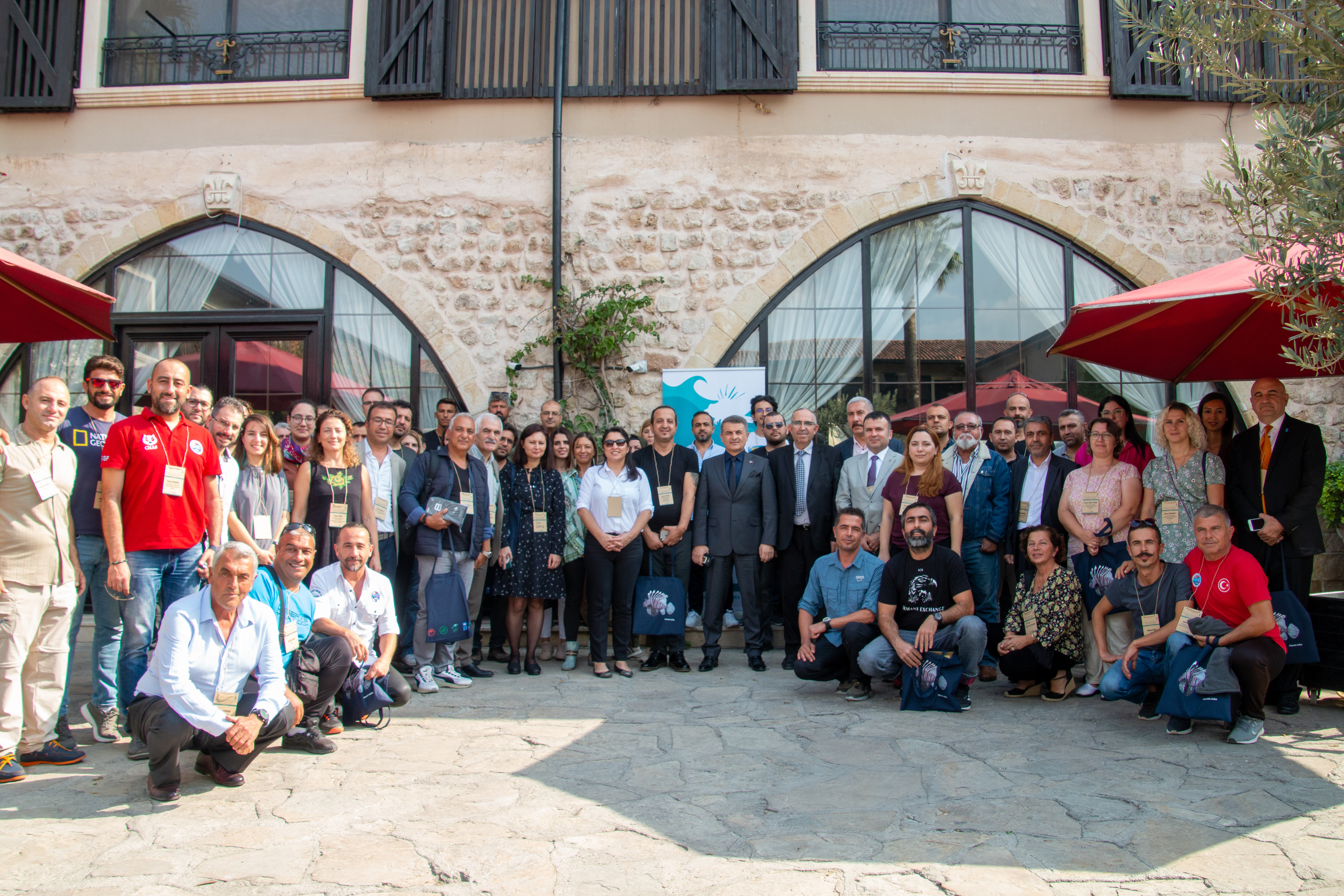
The project initiated national scale capacity building activities via a scientific conference, which was organized between 21-23 November 2022 in Antalya, to discuss how to overcome the adverse impact of marine invasive alien species on ecology, livelihoods, economy and public health in Türkiye. Bringing together all the stakeholders working in this field, the conference served as a platform to share information on the ecological and economic effects of marine invasive species and the activities to eradicate, mitigate, and control them in the country and at a global level. Presentations by renowned experts focused on the destruction caused by lionfish, water hyacinth, rapa whelk and other species. This conference also acted as one of the significant steps towards developing the national policy in combating these species, as the solutions discussed at the conference stood out to guide enhancing the resilience of marine and coastal ecosystems. MarIAS project also organized a follow-up International Symposium on Ballast Water and Biofouling Management in Invasive Alien Species Prevention and Control on 28-30 November 2023 in Antalya.
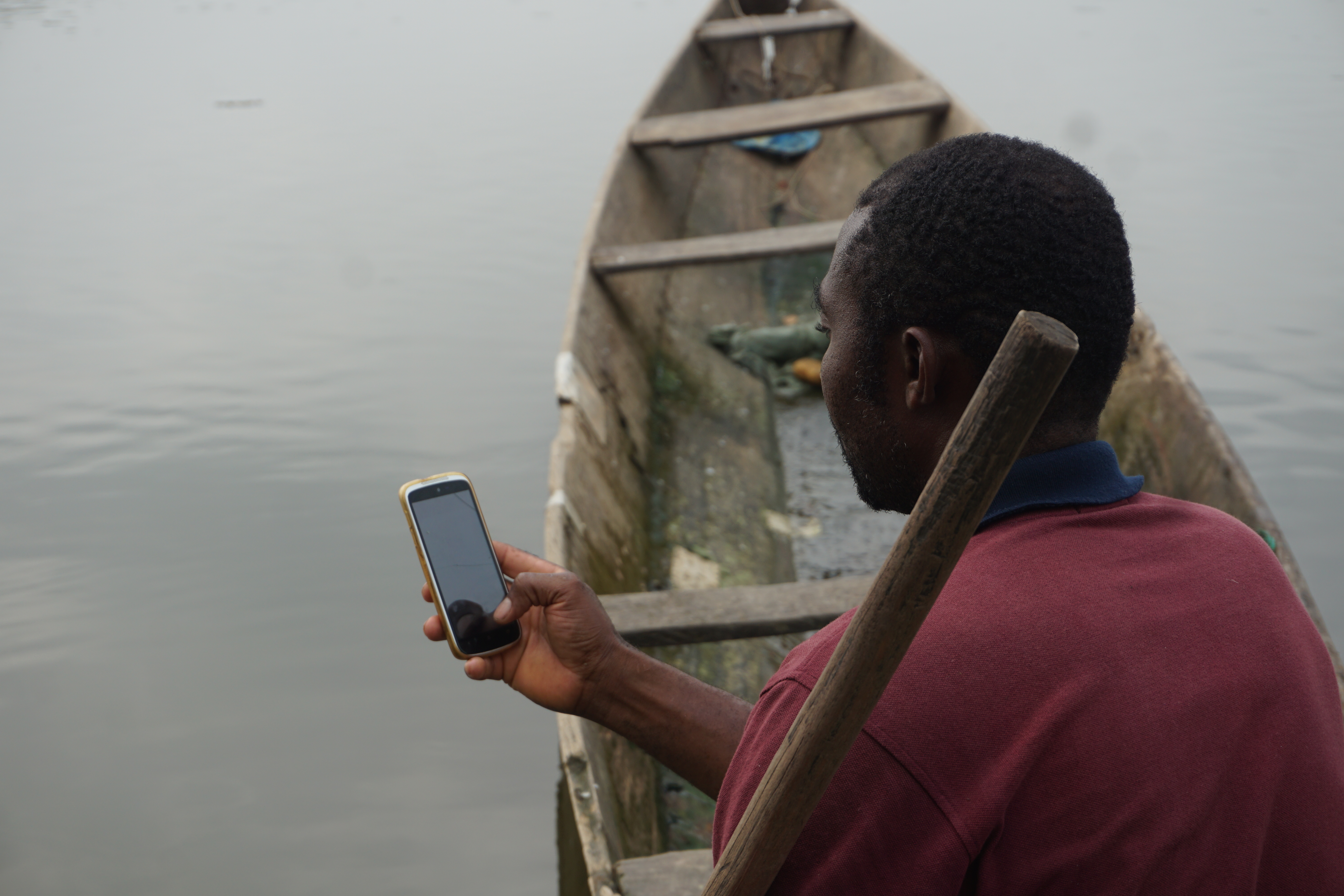
The Turkish National Invasive Alien Species Data and Information System (TurIST) has been designed in line with the findings of the conferences and stakeholder consultations and launched in 2024 as a database covering 181 different species, to help scientists and policymakers by showing where invasive alien species are congregating and measuring the ecological, economic and social damage they cause. TurIST is expected to facilitate international cooperation to enable joint action aimed at solving the common problem. The real-time database will continuously receive data from fishers and local NGOs to provide experts and policymakers with up-to-date information.
In the meantime, Biosecurity and Quarantine Mechanisms Guidelines were produced for critical sectors, and serial trainings were held for fishers, divers, and marine transport sector representatives with the participation of governmental institutions, Turkish Coast Guard, NGOs, and local communities at the pilot sites, including fishermen, Central Union of Fisheries Cooperatives, divers, aquaculture, commercial boating, and maritime transport sector representatives, and the Women Fishing Association. The trainings aimed to increase knowledge and awareness on IAS threats, impacts, mitigation measures, and best practices.
The project also invested in raising awareness of invasive alien species in schools and the preparation of primary and secondary school lesson plans. In the 2022-2023 academic year, around 9,000 students working with 300 teachers were reached, highlighting the adverse effects caused by marine invasive alien species on ecology, economy and public health.
Conferences gathered scientists and experts, as well as representatives from governmental institutions, the public sector, universities, the private sector and civil society, and enabled knowledge exchanges between the representatives of biodiversity, climate change, and sustainable development authorities. Considering the fact that massive lack of data is one of the most critical hindering factors in addressing marine invasive alien species issues, the scientific conferences provided an enabling environment and opportunities for long-term collaboration and data-sharing between the scientific community and decision-makers.
The inclusion of various stakeholders enabled access to and smooth operation of capacity building activities at multiple scales and locations.
It is highly important that people learn from elementary school onwards that all citizens have critical roles in ensuring the public is guided to give this matter the importance it deserves, preventing the entry and controlling the spread of invasive alien species. To generate maximum benefits and a multiplier effect within the limited time and budget, MarIAS project focused on training of teachers for more sustainable outcomes and collaborated with a national expert NGO for this purpose.
The contributions of ÖRAV (Teachers Academy Foundation), the non-governmental organization supporting the personal and professional development of teachers in Türkiye since 2008, have proven to be highly effective within the scope of quick adoption, ownership, successful implementation, and dissemination of the training program prepared for primary and secondary school teachers in the project pilot regions.