Facilitating Inclusive and Dialogue-Based Menstrual Health Sessions for Community Adults
This building block outlines how the SPARŚA Ambassador Program engages adult community members in open, respectful, and evidence-based discussions on menstruation. The approach prioritises dialogue over lecture, creating a space where participants can share their beliefs, practices, and lived experiences, while also receiving accurate information.
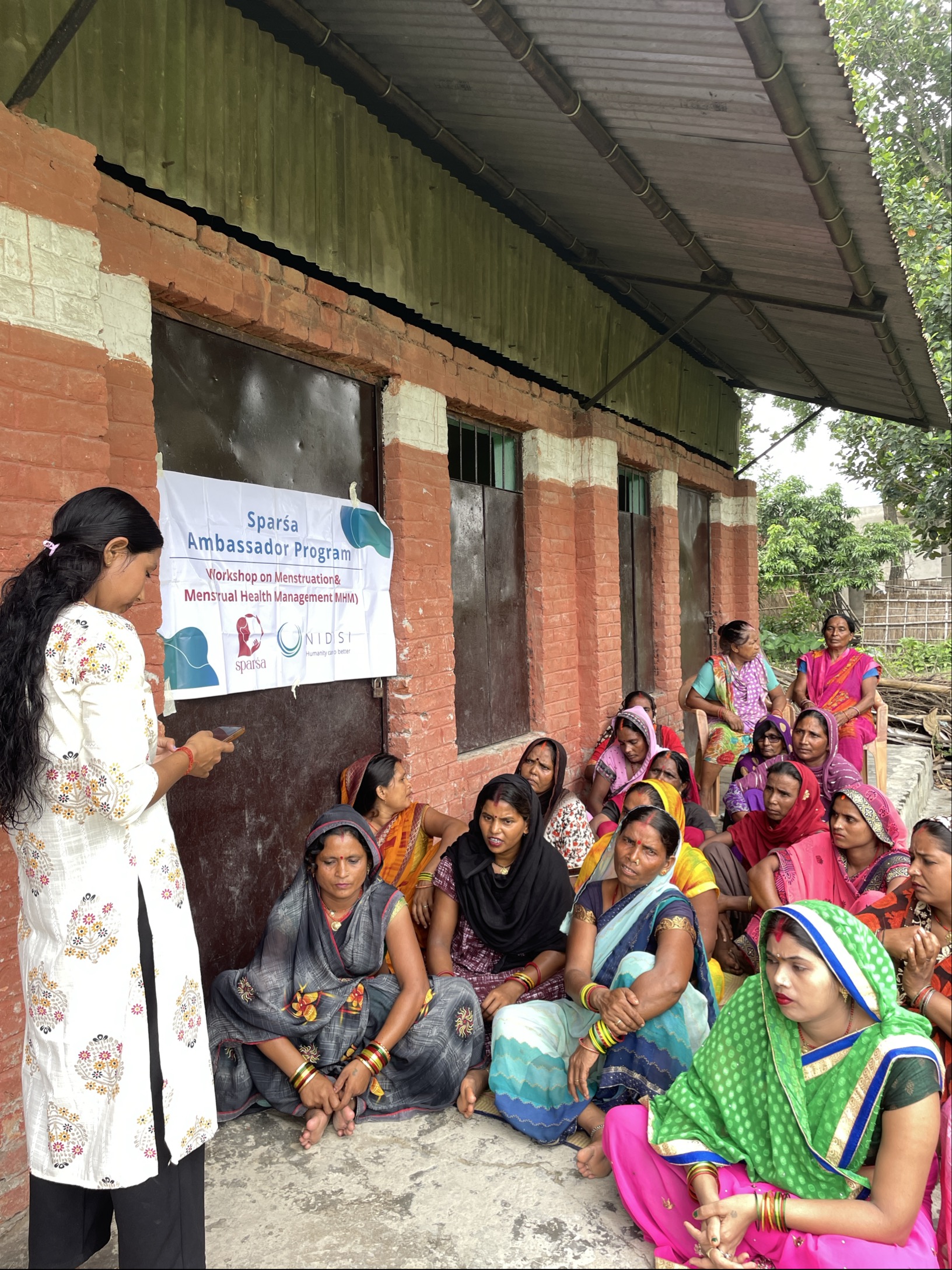
Target groups are identified by Ambassadors themselves or in collaboration with ward offices, municipalities, or metropolitan authorities. These often include mothers’ groups, women’s collectives, youth clubs, and mixed community gatherings. Trusted groups like Ama Samuha or Tole Sudhar Samiti are engaged early to help mobilise participants and endorse the sessions, which greatly enhances credibility and attendance.
Sessions are adapted to the context and needs of adults. Rather than delivering the same content as in schools, Ambassadors focus on myth-busting, stigma reduction, and practical menstrual health knowledge. This includes clarifying biological facts, discussing hygienic practices, exploring environmentally friendly menstrual products, and addressing social norms that restrict women’s and girls’ mobility, participation, or dignity during menstruation.
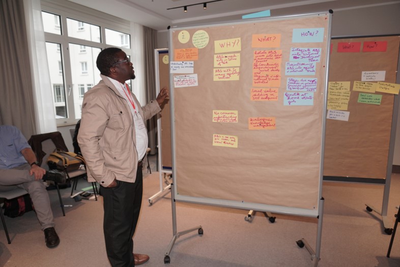
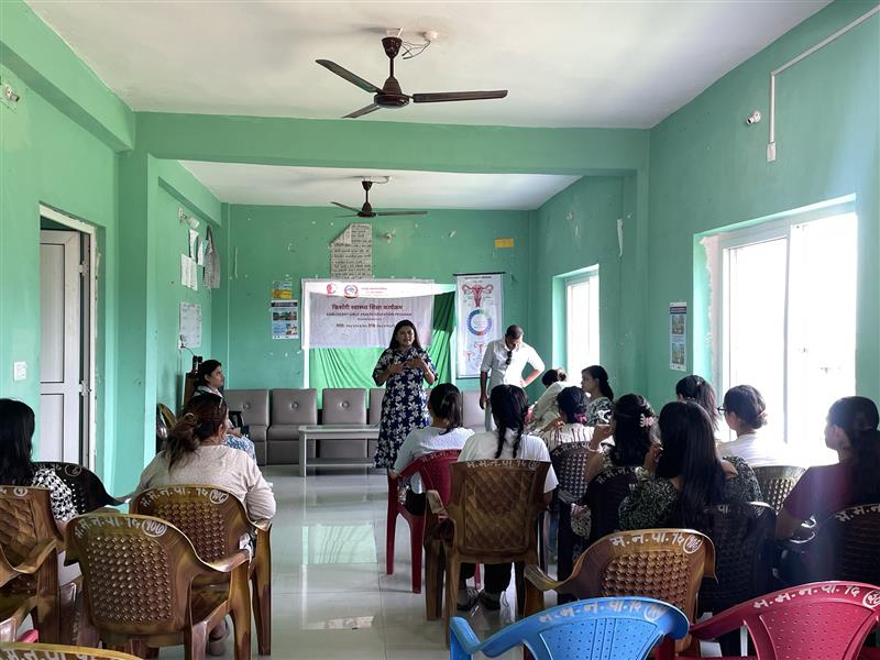
Ambassadors begin by establishing safe space agreements and inviting participants to share their own perspectives through Focus Group Discussion (FGD). The facilitator listens actively, acknowledges local knowledge, and then uses visual aids, product demonstrations, and relatable stories to fill knowledge gaps or correct misinformation. Nutrition and self-care during menstruation are also discussed, linking health to overall well-being.
Preparation is thorough: Ambassadors coordinate with the programme team for materials, set session dates with local leaders, arrange venues in accessible and comfortable locations, and ensure a variety of menstrual products are available for demonstration. Follow-up visits or recurring discussions are encouraged to reinforce learning and track changes in attitudes.