4. Leveraging Expertise for Advocacy, Knowledge Sharing, and Technological Integration:
It is understood that effective conservation necessitates continuous knowledge exchange, unwavering policy advocacy, and the smart integration of modern technology.
Actionable Step: Actively utilize established platforms and networks to disseminate crucial information and influence policy. The role as Regional Vice Chair at IUCN CEESP, contributions to environmental law blogs, and appearances in environmental awareness videos are instrumental in this endeavour. Furthermore, focus will be placed on integrating
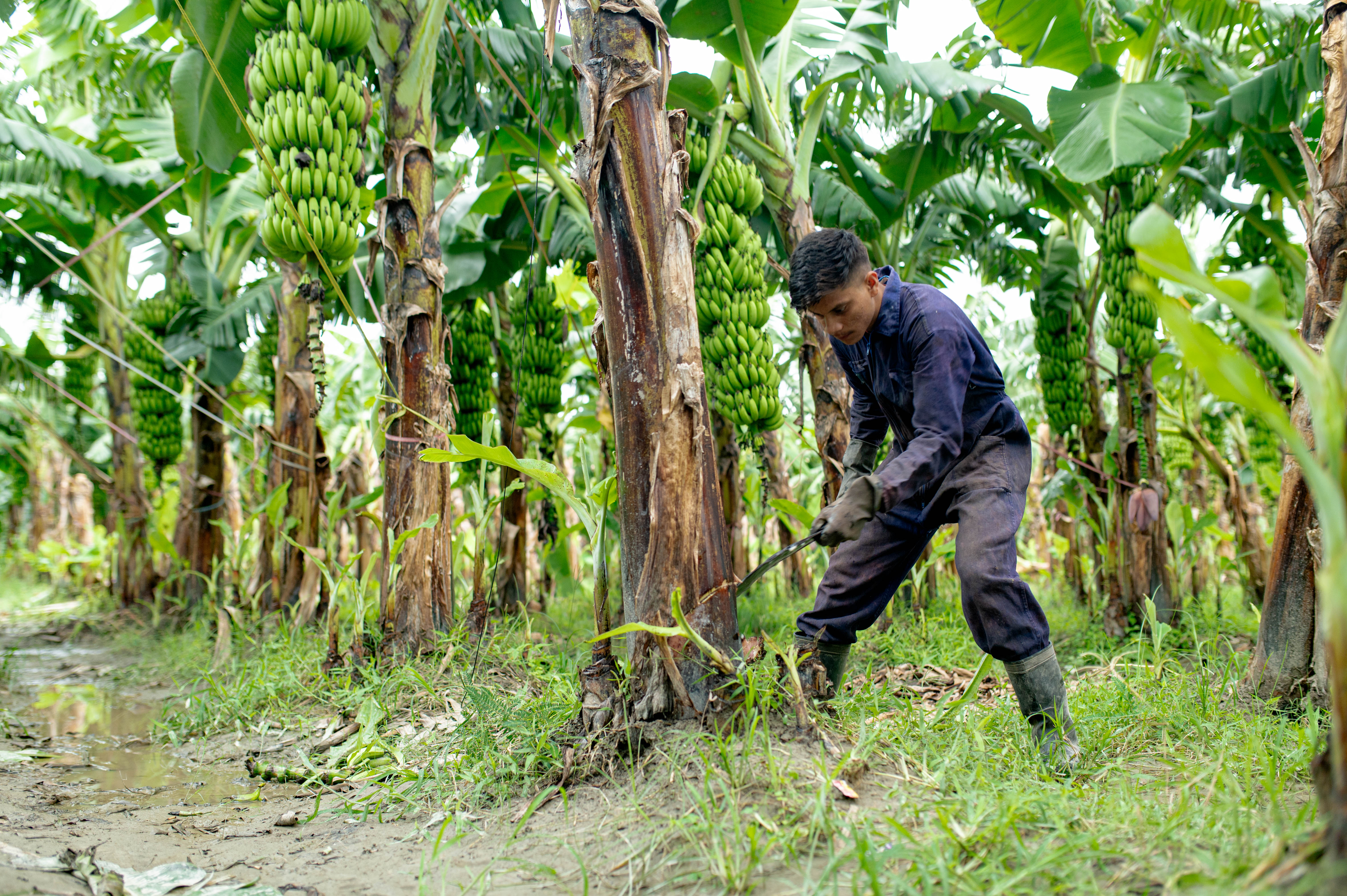
Artificial Intelligence (AI) with Traditional Knowledge Systems (TKS) to create advanced conservation strategies. AI can analyse vast datasets on ecological patterns, climate change impacts, and biodiversity trends, while TKS provides invaluable localized, nuanced understanding of ecosystems and sustainable resource management. This synergy can lead to more precise conservation interventions and predictive models.
Areas of Focus: Continue to lead international webinars and symposiums on critical environmental topics such as "Rights of Nature in the Anthropocene" and "Science and Environmental Law Interface." Dedication to advocating for environmental causes at international conferences and universities, fostering regional and global collaboration, is paramount.
In conclusion, by strategically intertwining environmental law and policy with the profound wisdom embedded in cultural practices and Traditional Knowledge Systems, and by judiciously integrating advanced technologies like drones for reforestation and AI for enhanced analysis, a more sustainable and equitable path to biodiversity conservation can be forged. This framework, passionately designed offers a powerful means to engage communities, influence policy, and ultimately secure a healthy planet for all future generations.