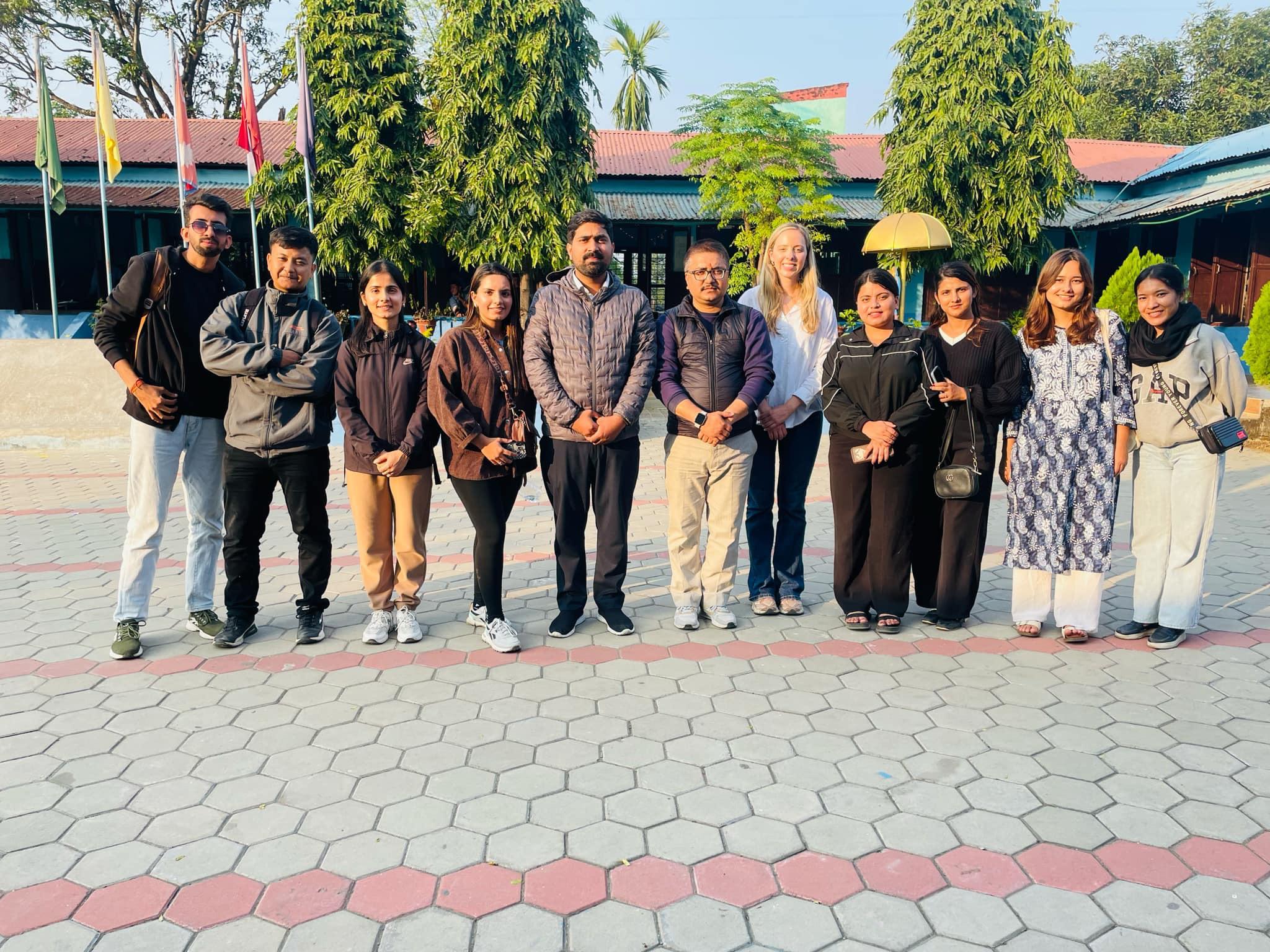
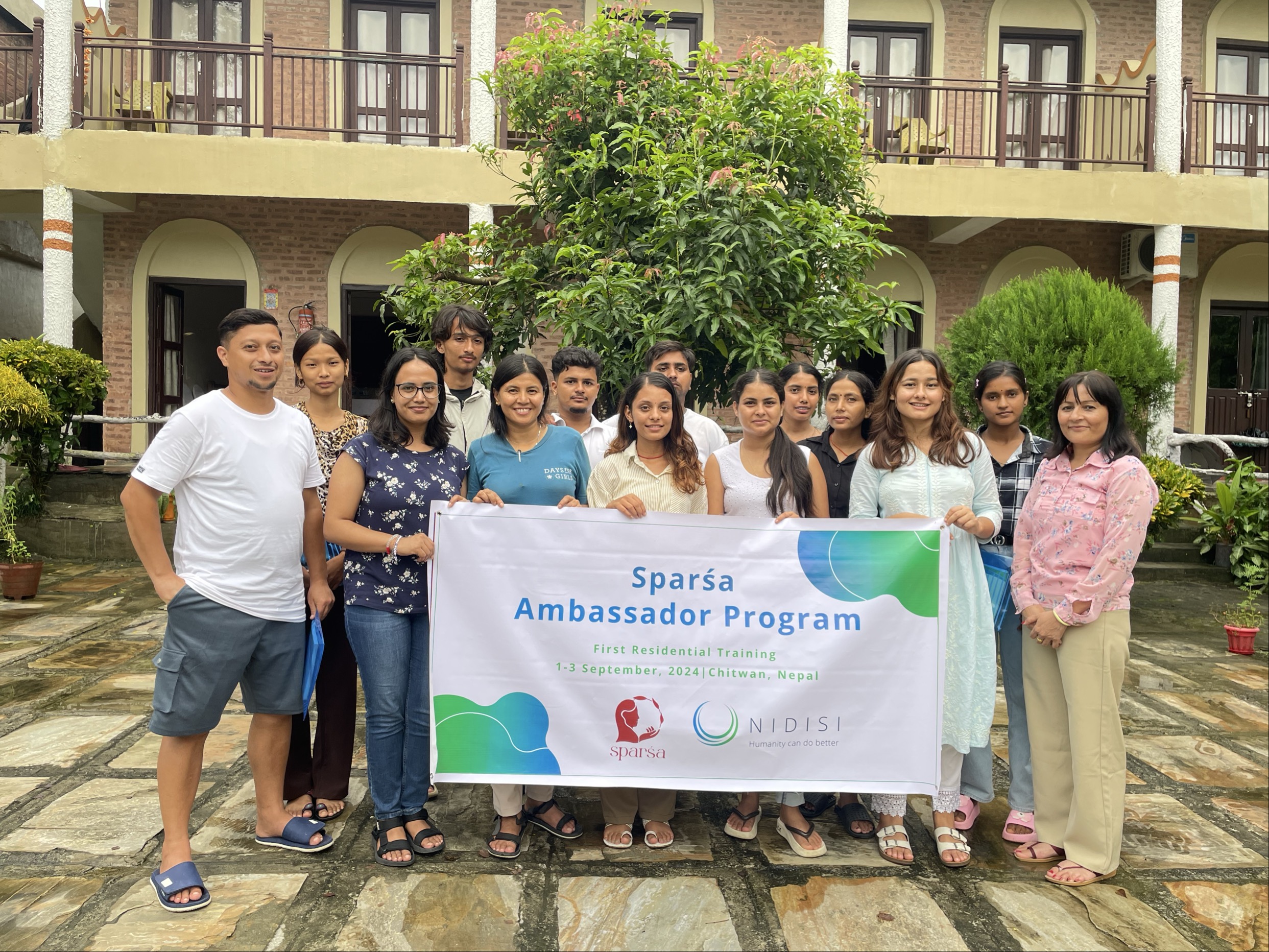
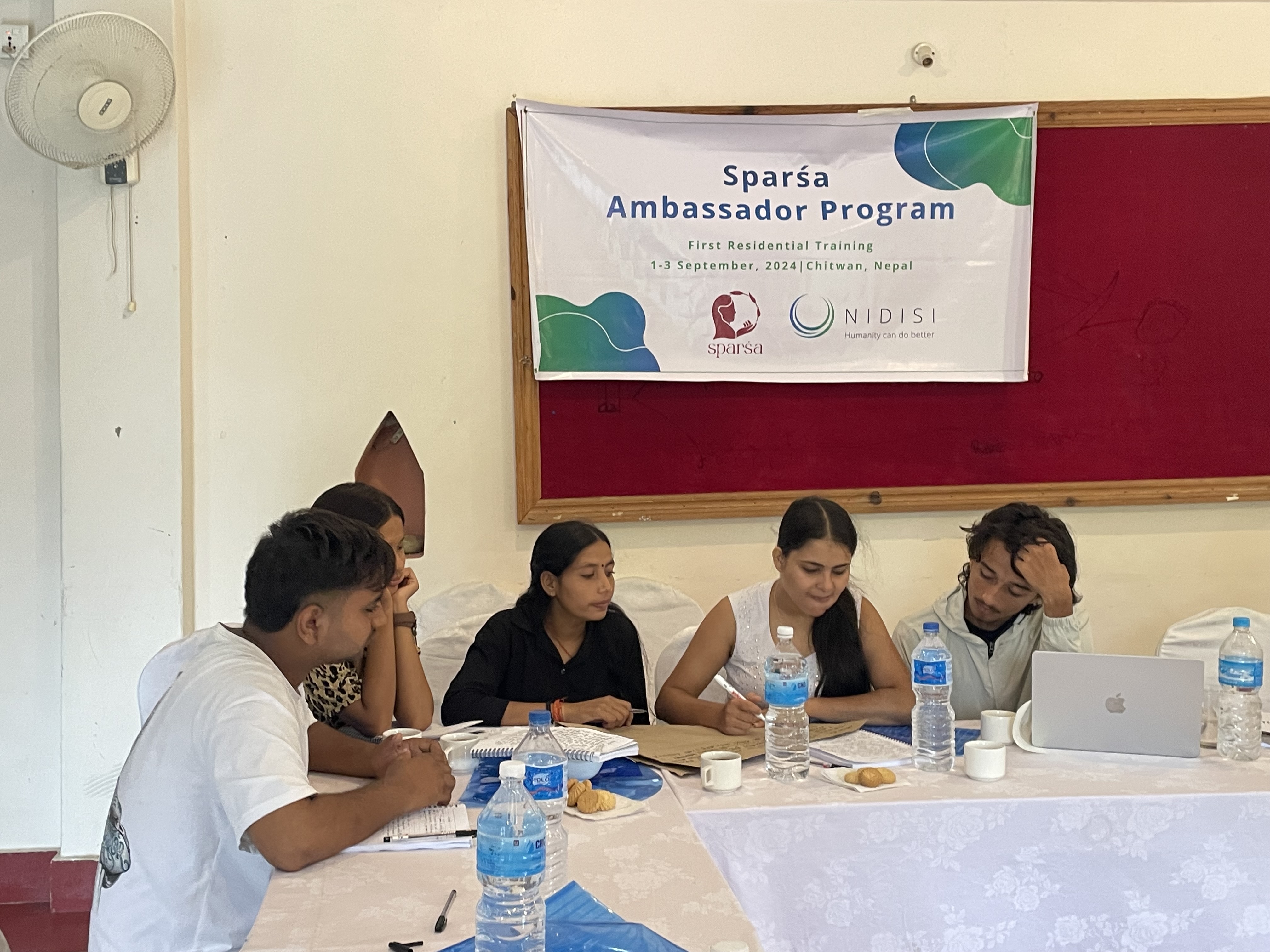
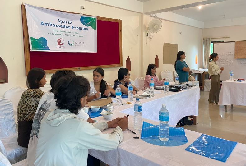
This building block outlines how to identify, engage, and collaborate with the local actors who enable smooth implementation and long-term sustainability of the SPARŚA Ambassador Program. These include local authorities, community leaders, partner NGOs, school administrations, and ward-level representatives. Establishing trust with these stakeholders ensures legitimacy, secures support for sessions, and opens opportunities for collaboration, resource-sharing, and broader community engagement.
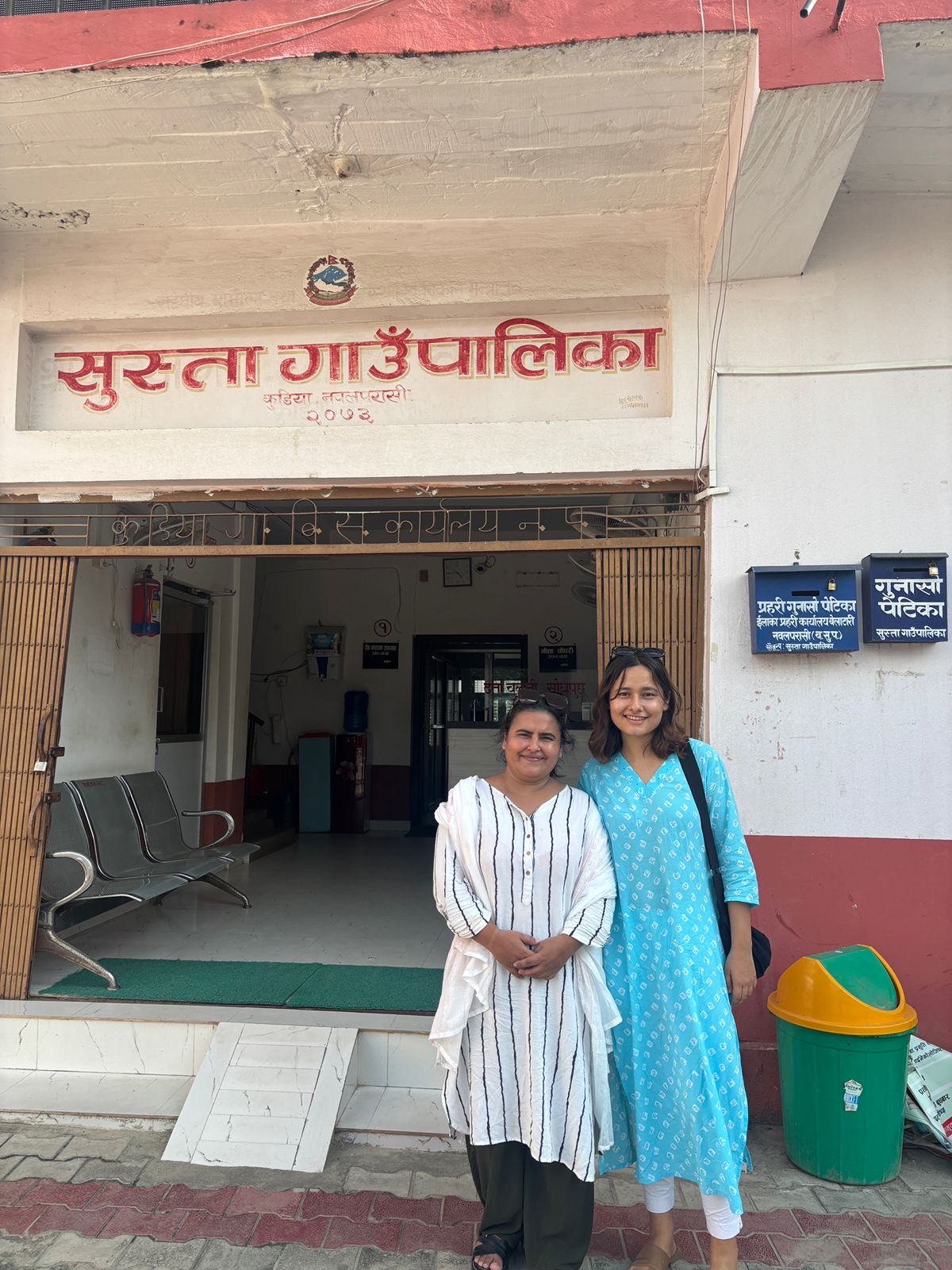
Ambassadors begin by mapping key decision-makers in their area, including ward officers, municipal representatives, and respected community figures. Early face-to-face meetings secure permissions and build goodwill. These contacts often connect Ambassadors to existing programmes and community groups such as Ama Samuha, Mahila Samuha, Tole Sudhar Samiti, and Users Committees, which can help mobilise participants and spread awareness.
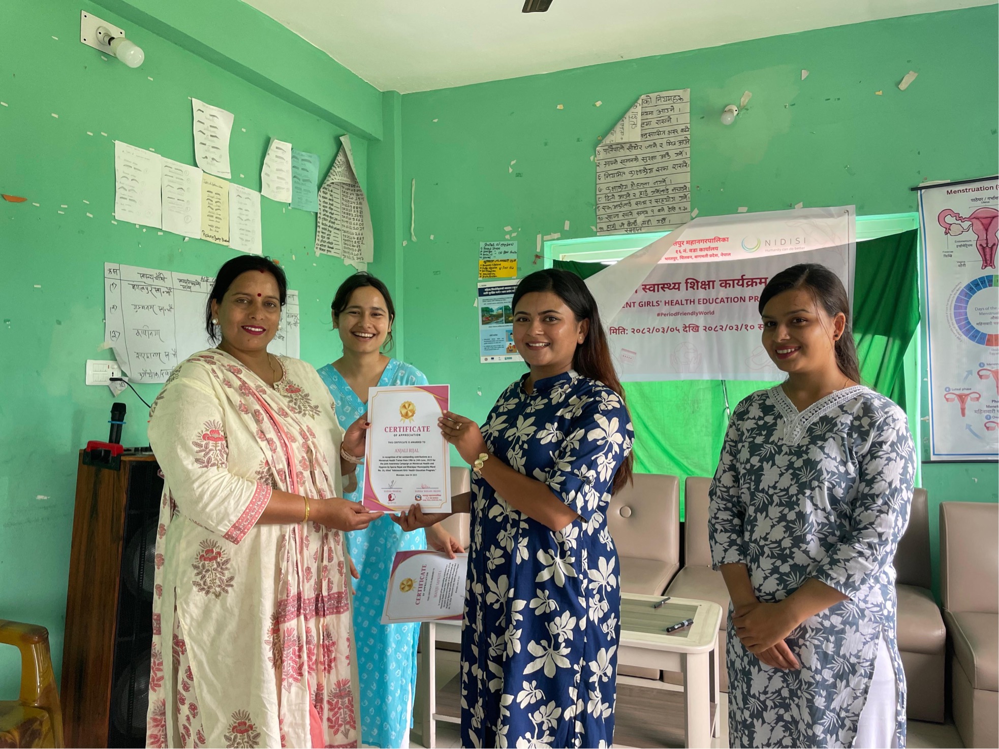
Partner NGOs are engaged before training begins, contributing to co-designing content, sourcing expert trainers, and sharing proven materials like Ruby’s World from WASH United, NFCC toolkits, and GYAN resources.
When engaging schools, Ambassadors prioritise in-person visits to principals over emails or calls, respecting local norms and increasing the likelihood of acceptance. Flexibility is essential to handle last-minute changes or rejections. Principals play a key role in organising logistics, allocating time slots, and ensuring student and teacher participation.
Formal documentation—letters with organisational stamps and signatures—builds credibility and reassures institutions. Understanding local protocols is vital, as some districts require additional approvals from higher authorities.