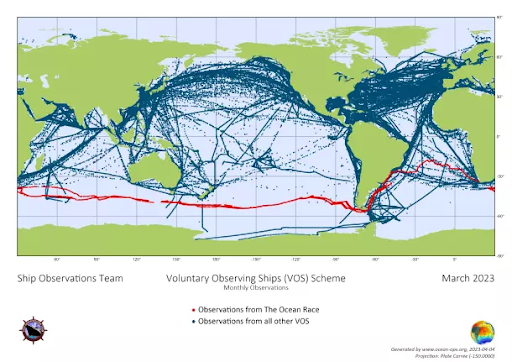
Data collection using racing yachts for onboard sampling and deployment of drifter buoys
Beyond facilitating access to hard-to-reach locations, sailboats also provide useful modes of transport for deploying scientific instrumentation. The boats can carry scientific equipment, both for deployment in the ocean, but also for continual measurement by sensors that are permanently onboard. The race boats’ speed means that data from different locations can be captured across short timespans, something which is not achievable by most research vessels. Yachts can also be used to pilot and test new research technology and techniques, such as technology that allows results to be shared in real-time, and the OceanPack – a device which records essential ocean data from aboard the yachts.
In a racing context, carrying devices that take meteorological measurements is not only beneficial for science partners, but also for the race participants themselves, as it helps to inform and improve weather forecasts that will impact their own decision-making and performances throughout the race.
Using racing yachts for data collection paves the way for the installation and deployment of measuring devices on other vessels such as fishing or commercial boats, as well as other sailing boats.
Scientific devices were originally designed for use on large research or commercial vessels. This presented some technical challenges regarding their use and installation aboard racing yachts which falls beyond the scope of their intended applications. As the boats are racing yachts the devices needed to be resilient and also light.
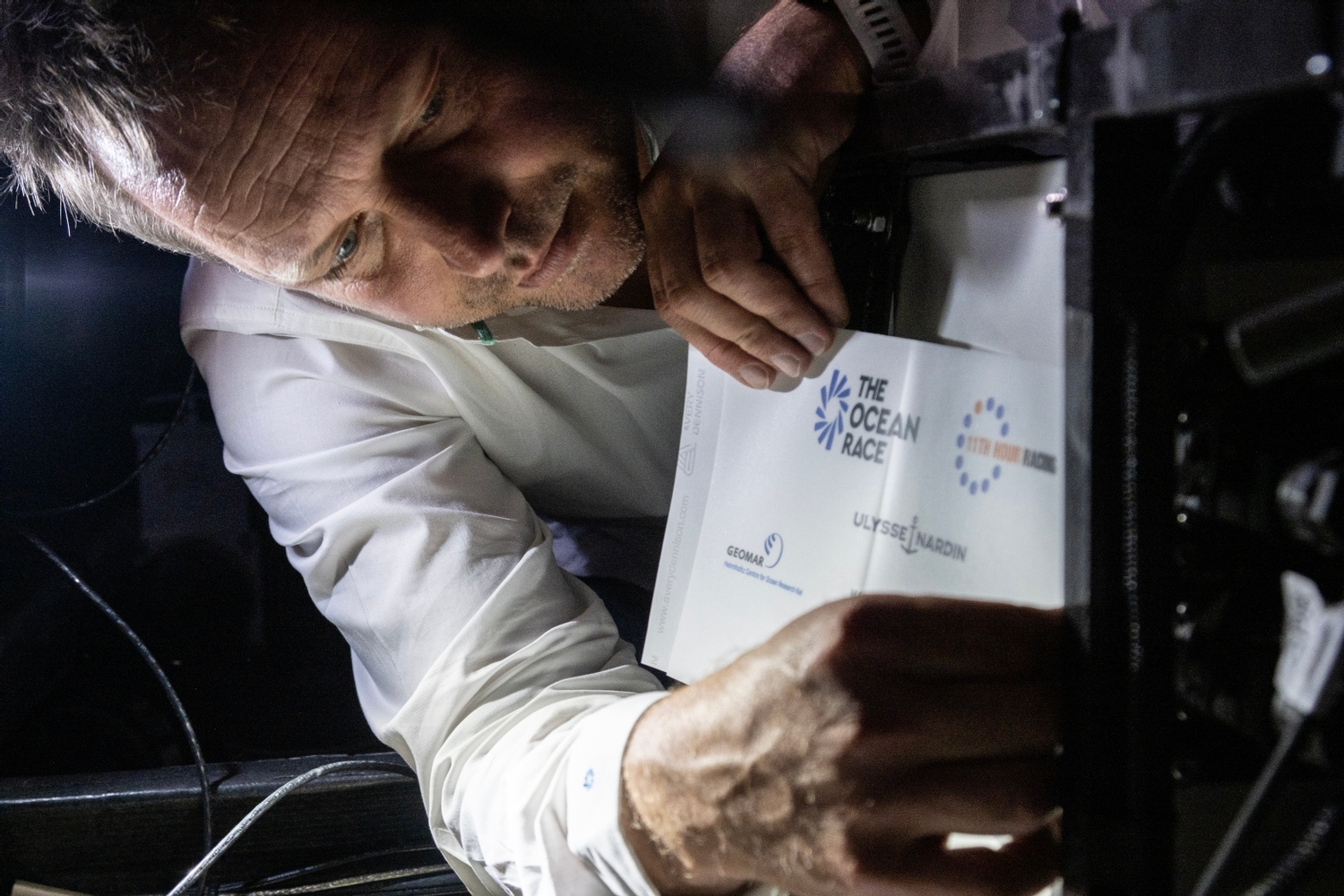
Challenges included operating sampling devices in an environment where there is fluctuating power supply, constant exposure to corrosive humidity, and where operators (i.e. teams and athletes) face immense physical (and psychological) stresses. This meant the devices needed to be user-friendly and simple to operate so that individuals with little specialised training could use them effectively and efficiently under stressful and pressurised conditions. The Ocean Race is collaborating with manufacturers to advance the technology and enhance its reliability for future uses.