Module 3: Optimization of Big Data and Intelligent Recognition System

The infrared system collects a large number of images daily, including many that are unrelated to elephants. With AI technology, the system has learned to automatically identify and filter out non-elephant images with over 99% accuracy, even detecting partial figures or shadows. Warnings are generated within 13–15 seconds through a fully automated process, reducing the need for manual review and enhancing the efficiency of elephant management.
So far, the system has captured over 3 million images and issued more than 12,000 automated warnings. All data is uploaded in real time to a centralized platform and shared with relevant agencies for research, management, and decision-making. This contributes to GBF Target 20 by promoting knowledge systems, technology, and innovation in biodiversity protection.

  1.  Advanced Artificial Intelligence Algorithms: The implementation of powerful AI algorithms ensures high-precision image recognition and efficient data processing.
  2. Unified Data Aggregation: Data from various regions is consolidated, supporting big data analysis and providing a foundation for long-term conservation planning and decision-making.
  1.  Algorithm Updates: The monitoring and recognition system requires regular algorithm updates to adapt to environmental changes and improve recognition accuracy.
  2. Efficient Database Management: A robust and efficient database management system is essential to ensure that data can be easily analyzed and utilized for conservation purposes.
Module 2: Drone and Infrared Camera Monitoring System
  1.  Drone Monitoring
    Since 2017, the project has assigned dedicated drone monitoring teams to each elephant herd or individual active outside protected areas. Each team operates around the clock and currently includes over 70 trained personnel, all capable of locating elephants quickly and accurately.
  2.  Infrared Camera Monitoring
    To address the limits of drone coverage—such as shift changes and blind spots at night—the project deployed a custom infrared monitoring system. A total of 600 infrared cameras with real-time data transmission, 21 video cameras, and 177 smart broadcasting devices have been installed in key zones, including roads, elephant corridors, and villages.
    Deployment is based on elephant activity hotspots. This supports space-use planning and the safe coexistence of people and elephants, while also informing corridor design and habitat protection. It aligns closely with GBF Targets 1 and 4 by applying technology to biodiversity management and species conservation.In addition, the project is exploring options for recycling and reusing monitoring equipment to ensure long-term ecological and environmental sustainability.
  1. Technical Support: Both drones and infrared cameras are equipped with advanced features, including high-resolution imaging, thermal imaging modes, real-time data transmission, and intelligent recognition algorithms.
  2.  Strategic Deployment: Equipment placement is scientifically planned based on elephant movement patterns and high-risk areas, ensuring coverage of critical corridors and activity hotspots.
  1. Drone Monitoring Maintenance and Training: Regular maintenance and ongoing training for monitoring personnel are essential to ensure the efficiency of monitoring efforts and the reliability of equipment performance.
  2. Infrared Camera Deployment: Network coverage and power supply need to be considered comprehensively to ensure the stable operation of the equipments.
Collecting information and data through studies on the contribution of socio-cultural practices to the revival of ecotourism in Comoé National Park.

The first stage focused on carrying out a study to identify cult sites in the PNC and surrounding villages. OIPR's North-East Zone Management plans to revive ecotourism in the Comoé National Park (PNC). To this end, a strategy has been defined to promote the traditional practices of local residents for tourism purposes. Taking into account the history of the creation of the PNC, it is known that it inherited sacred sites in the interior for which little information is available. With this in mind, a study by the Institut National Polytechnique Félix Houphouët Boigny entitled "Contribution des pratiques socio-culturelles à la relance de l'écotourisme au Parc national de la Comoé" (Contribution of socio-cultural practices to the revival of ecotourism in the Comoé National Park) was initiated, with the aim of gathering information on cultural sites and attractions that could contribute to the revival of ecotourism in the CNP.

One of the success factors was the willingness of land chiefs and traditional guarantors to provide information during the study surveys. The results obtained show that the CNP contains a diversity of sites, and that the populations of its peripheral zone (ZP) have cultural attractions that can contribute to the revival of ecotourism in the CNP. In the Bouna sector, thirty-six (36) sacred sites have been identified, twenty-one (21) of which are in the park and fifteen (15) on its periphery, and thirty (30) sites in the Nassian sector, twenty-two (22) of which are in the park and the other eight (8) on its periphery.

However, problems linked to their devaluation have been identified. To meet this challenge, objectives have been defined, and to ensure that these practices contribute to the revival of ecotourism, two strategic axes have been identified. These are (i) the collaboration and motivation of local residents and (ii) the promotion of cultural tourism by the manager.

Local communities remain strongly linked to Comoé National Park through the cult sites that exist there, and are committed to preserving and enhancing them.

Module 1: Monitoring Coordination and Technology Integration

Effective monitoring relies on well-structured teams with clear responsibilities and close coordination. Based on elephant distribution, the project has built specialized drone monitoring teams following a “one herd, one strategy” approach, and established village-based monitoring groups in key areas. Drone teams track elephant activity with precision, while local teams provide on-the-ground support. This dual system—“follow the elephants” and “local presence”—covers over 95% of the wild elephant population (the remaining 5% are within protected areas). In areas where drones cannot operate, infrared cameras are used for 24/7 coverage. By combining aerial and ground technologies, the system has overcome challenges of nighttime and forest-area monitoring.
The system’s success depends on local personnel. Most monitors are young people from local communities who have received training in drone operation, field tracking, and warning communication. This approach not only improves local skills, but also enhances public awareness and engagement. It contributes directly to GBF Targets 20 and 21 by building community monitoring capacity and encouraging participation.

  1. The high demand for monitoring and early warning in elephant-affected regions increased the willingness of individuals to join monitoring teams.
  2. The suitability of drones and infrared cameras for monitoring large terrestrial animals, combined with features like thermal imaging, automatic triggers, and wireless data transmission, made it feasible to track the nocturnal activity patterns of Asian elephants and ensure real-time transmission and automated recognition.
  3. Local youth showed strong enthusiasm for participating in the project and were highly motivated to contribute to the protection of their home communities.
  1. Thermal imaging is highly effective for nighttime monitoring, but regular maintenance of equipment is essential to ensure performance under extreme weather conditions.
  2. Infrared camera deployment locations must be optimized to ensure stable network coverage and reliable data transmission.
  3. A stable funding source is needed to support the engagement of full-time personnel.
Resources

This technique for reclaiming banks in wetlands doesn't require a lot of resources. All that's needed is to take a fewEchinoclos stagnina or "Bourgou" stumps from the side where there are still some left (on the Park W side in our case), transport them by dugout canoe, then transplant them following the rise in water level. Once they have been transplanted, defend the area against cattle for two months. After this period, the fodder is harvested by cutting at a level above the stump.

This technique for reclaiming banks in wetlands doesn't require a lot of resources. In fact, all we had to do was pick up a few Echinocloas stagnina stumps on the side where there were still some left (on the W park side in our case), transport them by dugout canoe, then transplant them following the rise in water level. Once transplanted, defend the area from cattle for two months. After this period, harvest the fodder by cutting at a level above the stump.

Water availability

Citizen science network

A network of fishermen who are using the SIREN mobile app

Dissemination and learning

Developing different dissemination methods strengthens communication within the interface of research, policy, and practice. While a study's core findings may remain consistent, the way these results are shared must be tailored to suit the specific needs, preferences, and capacities of different stakeholders. This approach ensures that the information is not only accessible but also impactful, empowering stakeholders to make informed decisions or take appropriate action.

 For example, within the context of accompanying research in FLR implementation, the way results are communicated to implementers and policymakers differs from the approach used for academic audiences. Policymakers and implementers often operate in fast-paced environments where they require clear, concise, and actionable information. Policymakers and implementers benefit most from concise, straightforward communication that highlights actionable insights, often set apart from the detailed and structured format of scientific articles. 

By recognizing and adapting to these differences, our project as accompanying research bridges the gaps between evidence generation and practical application, fostering stronger connections and more meaningful collaborations between the worlds of science, policy, and practice.

The success of applying different outreach mechanisms depends on the research team's strong commitment to tailoring result communication styles to different audiences. The research results are prepared to be published in scientific journals, but also in form of factsheets, policy briefs, and posters, which are designed to communicate results to non-academic stakeholders. The cooperation with FLR implementers also enables the accompanying research to successfully organize participatory workshops at the local level, webinars and joined symposia whereby research and practice complementary outputs and ideas are discussed. Findings are also incorporated into university lectures and curricular.  

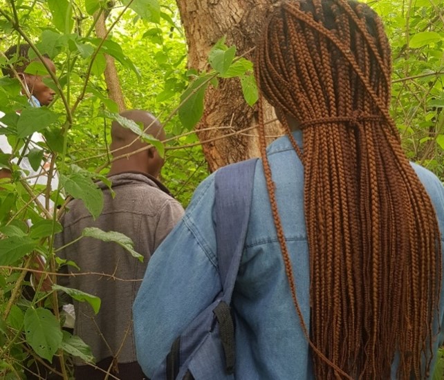
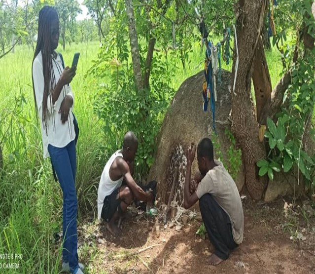
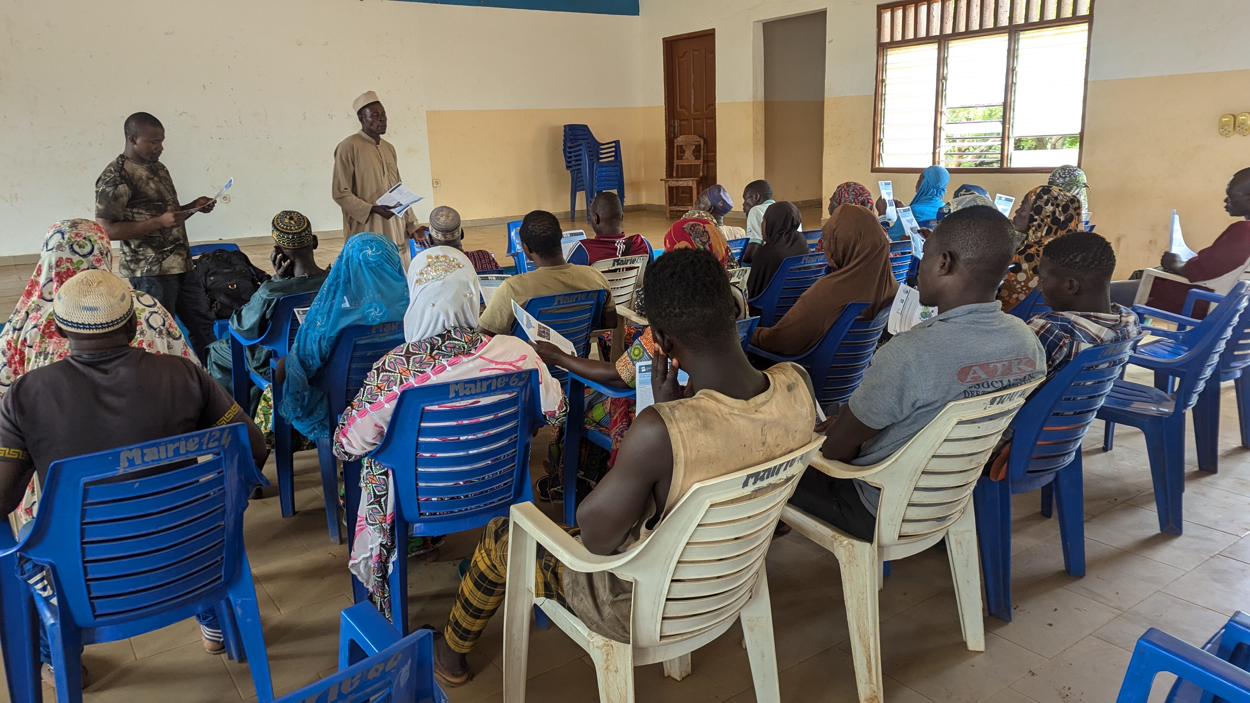
In the frame of our research project, we customise the dissemination and outreach strategies to align with the needs and contexts of our diverse stakeholders. For local implementers and communities, communication is designed to be interactive and engaging, relying heavily on oral presentations and visual tools such as posters or leaflets as well translation to local languages. These are combined with dialogue to facilitate mutual understanding and encourage collaboration. By tailoring the approach to fit the audience, whether it be policymakers requiring concise briefs or local communities needing participatory and visually oriented methods, we ensure that the core message of our research is effectively conveyed and supports real-world application. By organizing different webinars where both research and practice are presented on the same platform, we exchanged and developed strategies that help in communicating research findings to non-academic audiences. Furthermore, through presentations at different conferences, our research outreach mechanism has grown to a wider audience in addition to the FLR implementation countries.

Synergy research

The TREES project employs a multi-scale, cross-disciplinary approach to synthesize data from environmental, social, and economic analyses, providing a holistic understanding of FLR impacts across Africa with a key focus on East and West Africa. To achieve this goal, the overall objective is to mitigate the impacts of climate change in Africa through synthesis research that informs FLR policies and practices. This approach allows for a nuanced understanding of FLR practices and their impacts, which are adaptable across different regions. By combining data from various disciplines, including environmental science, social science, and economic analyses, the project provides a holistic understanding of FLR practices and their complex interplay. Therefore, similar research methods are applied in order to look into similar problems under different contexts. The multi-disciplinary research methods applied in different countries are contextualized to come up with research based tailored solutions to the context of the country.

Whilst PhDs focus on country-specific topics, the synergy project allows cross-country synthesis to contribute toward the upscaling and outscaling of FLR-related research outputs, experiences obtained and practice. Additionally, Master thesis research supports the overall project context by dealing with specific topics at a country level. The research conducted by the master's and PhD students are intertwined, and research outputs deepen if the results can be compared and recommendations can be drawn from the context of one country to the other. 

Research on FLR across different implementation countries is interrelated. Successful local practices identified through the project are advocated as models for adaptation and scaling across diverse contexts, enhancing contributions to the global FLR agenda.

This diverse geographic representation ensures that the project benefits from a wide range of perspectives and experiences relevant to different ecological and socio-economic contexts across Africa. The project generates actionable insights for climate action and land restoration efforts beyond case studies, allowing for conclusions and recommendations drawn across different contexts and scales (local to regional/African). Research results help to underpin FLR practices developed by F4F scientifically. 

International research stays

An annual international mobility program of 3 months per year was set up for all PhD students based in the countries of F4F implementation. The programme was designed in a way that all PhDs came to the host institution in Germany (ZALF) at the same time, in order to facilitate a structured PhD supervision system. Whilst in Germany, the stay consisted of multiple interlinked components, such as: desk-based research activities, integration in host institution’s meetings and events, joined workshops on project planning, methods trainings, reflections on PhD progress (chances and challenges), in-person status meetings with GIZ/F4F, as well as joined outreach activities including for example a symposia by GIZ and ZALF on restoration in the Global South in Bonn and a workshop on the concept of Accompanying research at TropentagConference2023 in Berlin. Students were also encourage to participate in further trainings and conferences depending on individual interests and needs. 

Setting up an international mobility program that hosted all PhD working in and on the various implementing countries at the same time allowed for in-person team work which strongly impacted on the growth of mutual trust, and high quality communication and collaboration, that was essential also for the project progress and success during the period of remote team work. In addition, the aligned research stays enhanced cross-country thematic exchange, fostered synthesis research and contributed toward enhanced North-South and South-South dialogue and capacity building overall. With three mobility stays in consecutive years, PhD students embarked on a joined journey with regular points of interaction and reflection on research topic and PhD related activities. Positive effects became increasingly visible over time relating to team trust and intensity of collaboration, PhD research related knowledge and skills and  cross-country and synthesis research rising.

Setting up a structured international mobility stay program not only allowed for the international research experience at a partner institute in Germany (ZALF), but also the direct interaction of the various team members. This way, much space was created to research, discuss and learn jointly. Joined project planning workshops, trainings on selected methods and approaches that were used by team members in different country packages, but also PhD planning and reflection workshops were organized during the time. Mobility stays also allowed direct interaction with GIZ/F4F Global team and other actor of science, policy and practice through joined symposia, workshops and attendance of international conferences. 

International research tandems and co-

To facilitate global collaborations, strengthening of international research structures, capacity building and global learning, the TREES project as solution strongly builds on international partnerships. The team itself is composed in most of the countries of international research tandems, whereby PhD and Master students originate from the country of study as well as Germany or other country. Whilst each student has his/her individual research focus, data collection is planned and implemented in the binational tandems. Supervision is provided in international supervision tandems whereby in each country a university is taking the country lead and co-supervision is provided by the project lead organization.  

Setting up binational research teams contributes toward enhanced complexity thinking through integration of multiple perspectives and disciplines. This facilitates research on FLR implementation for enhanced analysis and solution development as well as capacity building and global learning through North-South and South-South collaborations. Joined field visits can facilitate students’ access to study sites, interaction with actors on the ground, and increased samples sizes if questionnaires are combined. 

Establishing international PhD and Master student research tandems and building international co-supervision teams opens up new learning spaces and opportunities for collaborations. Different expertise and perspectives can be integrated in the different PhD and Master Thesis study projects, research design and implementation. Diversified research methods can be implemented in a complementary way to deepen FLR related analysis and combined interpretation perspectives enrich research output. If questions on data arise or verification is needed upon completion of the field trip, the tandem structure facilitates follow up field visits for complementation or verification of results. Knowledge derived and communicated via multiple channels in Germany and the F4F countries can enhance dialogue at the policy, practice, science interface within and across countries.