Through the establishment of a dedicated emergency management task force, the refinement of contingency plans, the development of a robust disaster information communication framework, and the implementation of regular drills, the community's capacity for disaster preparedness and response has been significantly strengthened.
A comprehensive community emergency management map was developed, delineating critical infrastructure such as roads, residential buildings, and waterways. The map also identifies the locations of vulnerable populations, including the elderly, children, pregnant women, and individuals with disabilities, while designating safe evacuation routes to provide a clear and actionable foundation for disaster response.
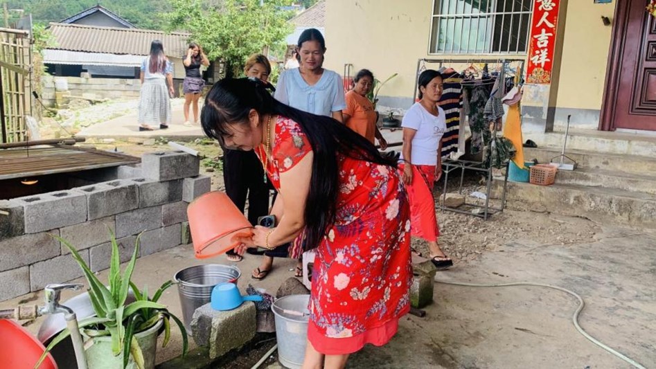
Special attention was given to addressing the specific needs of women during disasters. Preparedness measures included ensuring an adequate stockpile of sanitary products, while drills incorporated protocols to safeguard the mobility and security of women and girls, with a particular focus on mitigating risks of gender-based violence.