Improved monitoring and reporting efforts for restoration
TreeMapper
Plant-for-the-Planet Foundation
TreeMapper
Plant-for-the-Planet Foundation
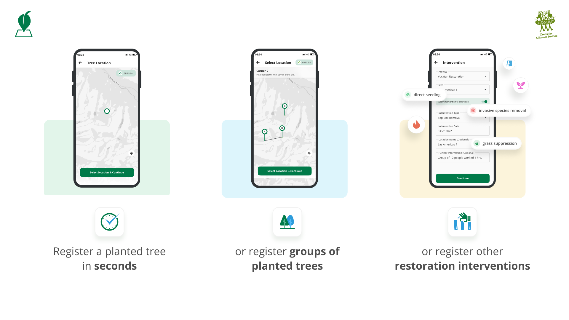
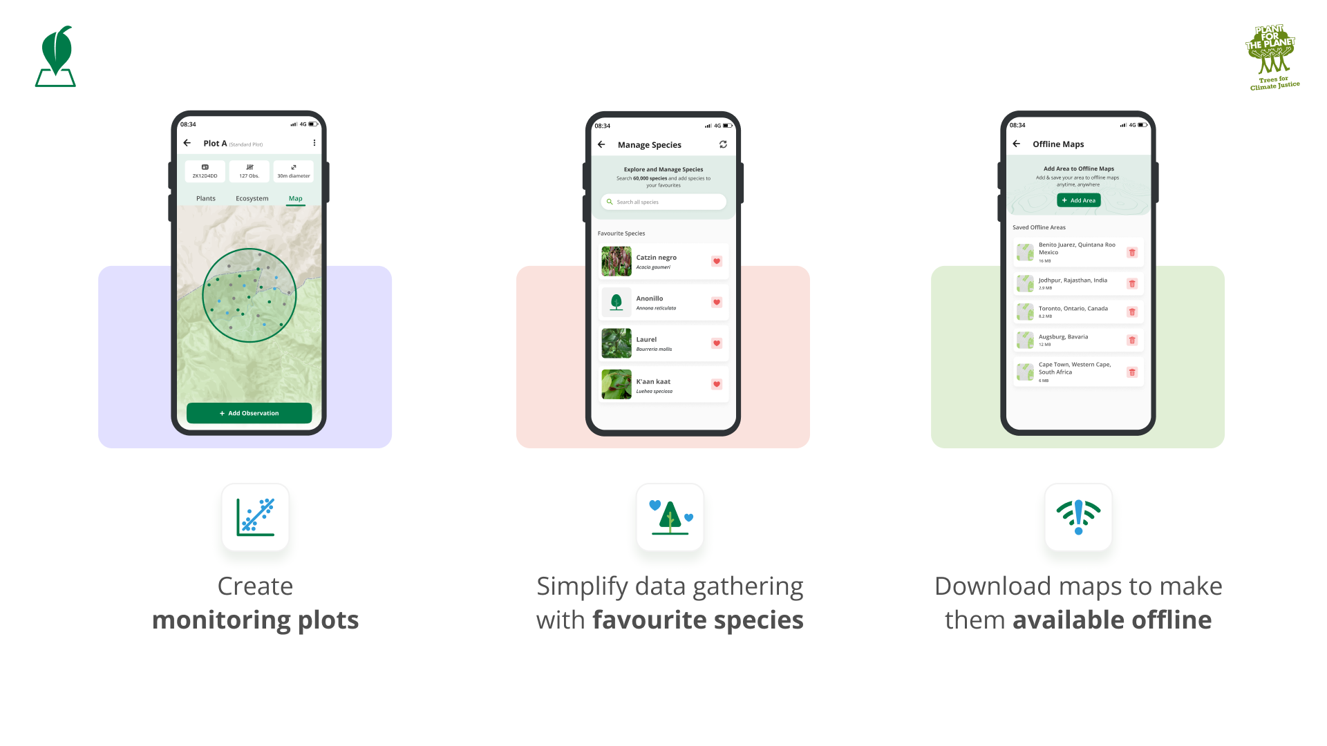
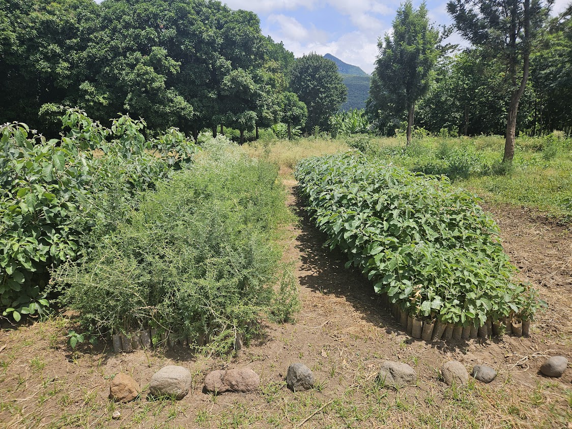
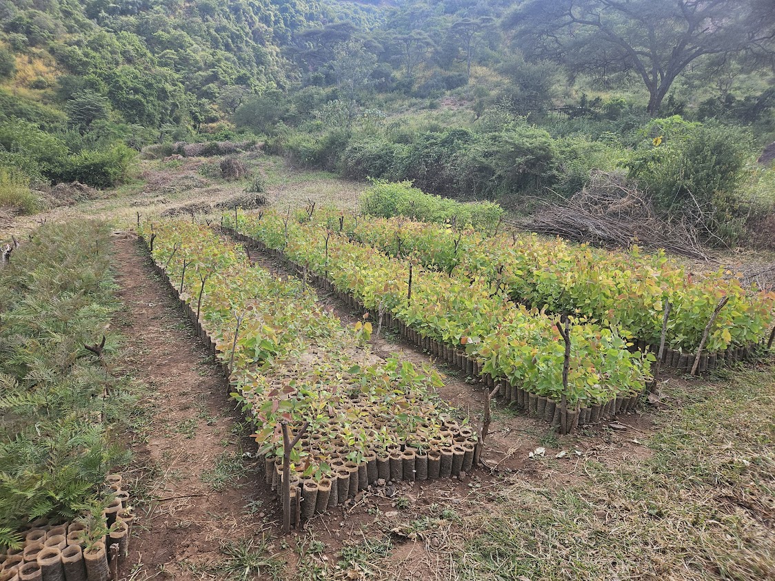
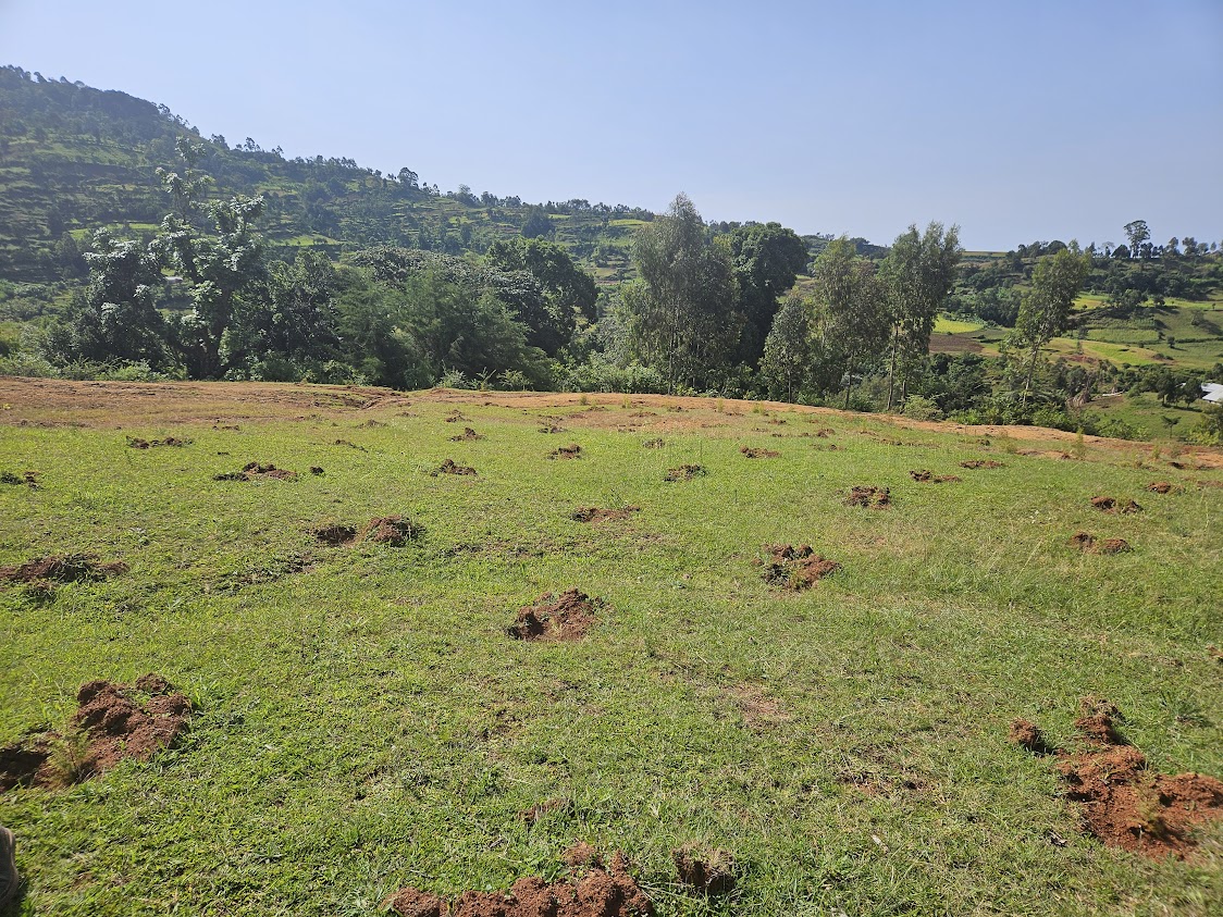
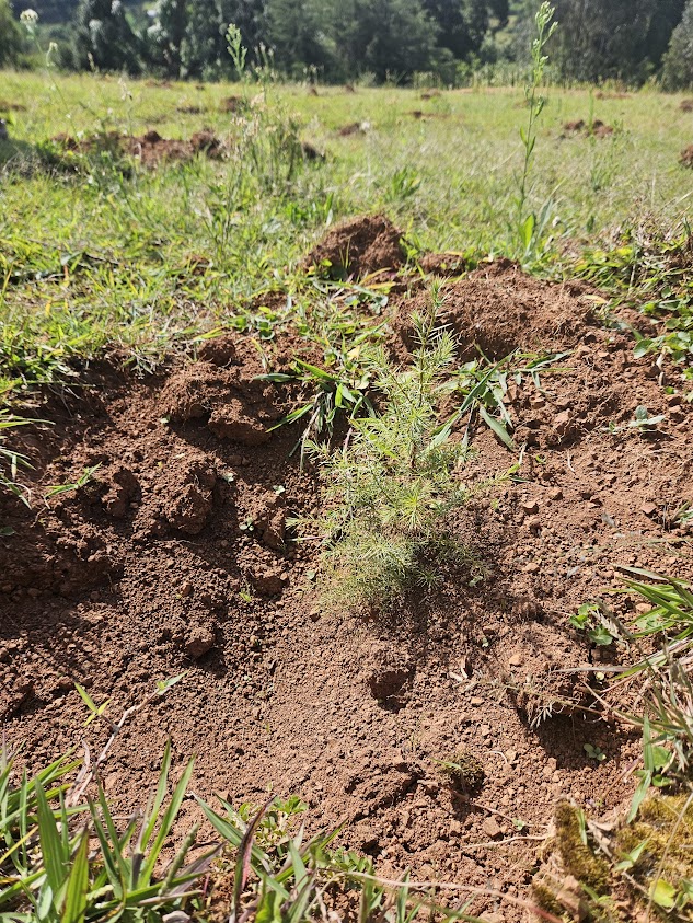
Environmental restoration initiatives must demonstrate the impact of their efforts to donors and other stakeholders. However, many projects struggle with collecting and presenting data effectively. This is where the digital tools TreeMapper and the DataExplorer dashboard provide invaluable support. TreeMapper enables restoration organizations to collect detailed on-site data about their restoration activities, beyond just tree planting. It can track interventions such as firebreaks, topsoil removal, or other ecosystem restoration measures. With an extensive database of over 60,000 species*, offline functionality, and the ability to re-measure monitoring plots, TreeMapper simplifies ecosystem monitoring and ensures comprehensive, reliable data collection.
Collected data is automatically uploaded to the platform, and publicly accessible within each project profile. For deeper analysis, restoration organizations can use the DataExplorer dashboard or export the data for further exploration in Python or Excel, gaining insights to improve their efforts.
Additionally, satellite data from NASA, European Space Agency, and other providers enhances monitoring by verifying project claims and tracking changes in biomass, tree cover, carbon sequestration, and risks like fire or flooding. This combination of on-the-ground and remote sensing data provides a detailed, comprehensive view of project quality and development over time, empowering stakeholders with transparency and actionable insights.
*BGCI 2024. GlobalTree Portal. Botanic Gardens Conservation International. Richmond, U.K. Available at https://www.bgci.org/resources/bgci-databases/globaltree-portal/. Accessed on 11/12/2024.
Robust and User-Friendly Tools: Digital tools like TreeMapper and DataExplorer must be intuitive, reliable, and functional in diverse environments, including offline scenarios, to ensure widespread adoption and effective data collection.
Comprehensive Data Integration: Seamless integration of ground-collected data with remote sensing datasets (e.g., from NASA and ESA) ensures a holistic view of project performance and ecosystem development.
Extensive Species Database: A well-maintained and expansive database, such as TreeMapper’s 60,000+ species catalog, is essential for accurate and detailed ecological monitoring.
Accessibility and Scalability: Tools should be accessible to projects of varying sizes and resources, with scalability to handle diverse restoration activities and large datasets as projects grow.
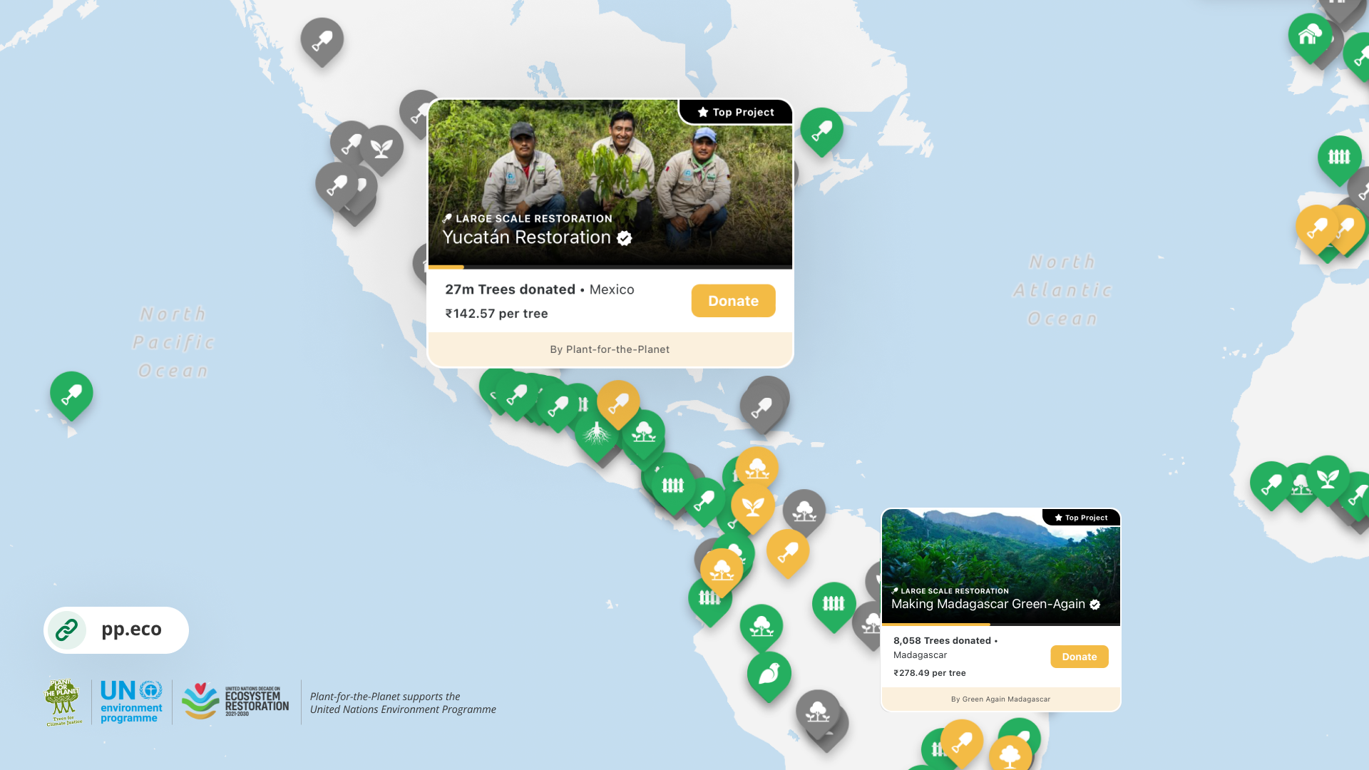
Transparent Data Presentation: Making project data publicly available in a clear and engaging format fosters trust among donors and stakeholders while promoting accountability.
Key Lessons Learned
Ease of Use is Crucial: Tools like TreeMapper and DataExplorer must prioritize user-friendliness to ensure adoption. Complex interfaces or workflows hinder usage, especially in regions with limited technical capacity.
Offline Capabilities Are Essential: Many restoration projects are conducted in remote areas with unreliable internet. Offline functionality in tools like TreeMapper has been pivotal for data collection in such environments.
Integration of Ground and Satellite Data Enhances Impact: Combining on-the-ground data with satellite insights significantly improves monitoring accuracy and provides a holistic view of project progress, which is critical for both implementers and donors.
Transparency Builds Trust: Publicly accessible and visually processed data strengthens donor confidence and promotes accountability, showcasing the impact of funded initiatives clearly.
Connectivity always a major consideration: Tools built are very light, so they work on old phones, and don't require cutting edge processors. All apps work offline, for instance, TRACER mapping is offline, TreeMapper data can be collected offline, and user only needs internet connectivity every month or so.
Financing and sustainability: ForestCloud's technical infrastructure is backed by a stable, long-term institutional partnership with Plant-for-the-Planet, Salesforce, and ESRI. A white-label version of the Restoration Platform—such as trees.salesforce.com—also serves as a fundraising tool to support broader ForestCloud operations. As the volume of users and applications grows over time, we may introduce a small percentage-based fee on donations to help sustainably cover maintenance and operational costs.
Aspects That Haven’t Worked
Inconsistent Data Collection Practices: Projects initially lacked standardized data collection protocols, which complicated integration and analysis.
Limited Early Training Support: Insufficient training materials and support initially hindered effective use of the tools.
Advice for Replication
Focus on Core Needs First: Begin with essential functionalities that directly address user needs and gradually expand features based on user feedback and evolving requirements.
Standardize Data Collection: Implement clear, uniform guidelines for data collection and reporting standards to ensure consistency across projects.
Offer Extensive Training and Support: Provide user-friendly training resources, tutorials, and ongoing technical support to help implementers fully utilize the tools.
Adapt Tools to Local Contexts: Consider regional variations in restoration practices and environments to ensure tools are versatile and relevant across diverse settings.
Prioritize Transparent Communication: Make project data accessible and understandable for all stakeholders, fostering trust and engagement.