Numeric modelling of hydro- and sediment-dynamics

This tool serves the purpose of understanding and projecting natural forces which are shaping the shoreline in order to plan the optimal placement and design of breakwaters: Use available and field data (for all seasons) on near shore bathymetry (depth profiles), wave height, direction, and period; tidal regime and currents; sediment composition (seabed and suspended), and wind patterns, to calibrate and validate numerical models. Map outputs on wave climate, tidal regime, sediment transport and bathymetry. Use projected hydro- and sediment dynamic conditions to determine feasibility, best design and placement of breakwaters.

  • Coasts dominated by muddy sediments (fine sand, silt, clay). 
  • A relatively shallow near shore with little slope in the bathymetric profile. 
  • Sufficient suspended sediment supply. 
  • Possibility to use T-fences to recreate original coastline between existing headlands with mangrove forest cover. 
  • Historical records of mangrove occurrence for the site to assess feasibility of natural regeneration of mangroves or mangrove rehabilitation.

Coastal engineering know-how, specialized software and facilitation proved to be compulsory. Engagement of local technical departments and responsible authorities as well as proper information is necessary to ensure commitment and long-term support. Prioritization of sites by local authorities, or due to socio-economic values connected to the use of the hinterland, must be taken into account. Relevant authorities and partners should be made aware that results of numerical modelling may prove valuable for other measures planned in the area. This can increase efficiency and create valuable synergies.

Interest group engagement

The project core team approached two municipal governments, the regional hotel associations, almost 40 hotel owners and managers, technical institute faculty and architects, and engineers’ associations to assess their interests in participating in the project. Partners organized panels and meetings to present the project, its importance and forms of participation. This phase was critical to fully involve interest groups - not only to provide information, but more importantly, to increase their willingness to use the results. Stakeholders participated in the kick off process, provided information, reviewed results, revised each identified practice, and are currently involved in catalog dissemination.

Several hurricanes hit the region in the last 13 years, making people aware of their vulnerability and the urgency to address climate change impacts and events. Members of the core team have a long and recognized experience in the state.

Early involvement of stakeholders and interests groups is important to obtain buy-in in the process and acceptance of the results.

Strategic project alliance

Development of the best practices catalog was facilitated by a core team of experienced partners, each one with a distinct role and niche. A team charter details each partner’s role and responsibilities. The core partners were: The state environmental agency, which aims to reduce risks to coastal communities and the tourism industry. The agency was key to align partners’ interests but did not participate in the core team. A regional tourism initiative, which has worked for 10 years in the area to reduce tourism impacts on the environment. The initiative has developed catalogs of best practices, provided training and technical assistance, and serves on technical committees to review municipal land use zoning. The local architecture school trains both students and professionals, and works with municipalities to improve urban conditions, land use zoning and building codes. The school involved faculty and students from ocean management, biology, and engineering sectors, and provided faculty time and facilities. A global NGO partner developed tools to assess coastal climate change risks and to promote the use of natural defenses. The organization helped form alliances and partnerships, and provided funding to conduct the process.

  • The existence of partnerships with the right capacities that complemented each other needs and abilities.
  • Availability of resources and funding.
  • Alignment of interests and willingness to collaborate.

People and entrepreneurs are willing to collaborate given the right conditions: transparency, an organized process and clear goals. A core team (3 partners) that leads and convenes a wide range of allies (professional associations, hotels, governments) is an efficient approach. The core team maintains the focus, eases communication and allows other stakeholders to participate.

Social and ecological vulnerability assessments
To construct a robust blue carbon project, a clear understanding of local livelihoods and how they are tied in with the surrounding mangrove ecosystems is obtained through a livelihoods assessment. This includes an analysis of the social vulnerability to the effects of climate change. The social and ecological elements of the assessment provide information that helps conceptualize targeted blue carbon projects with interventions that benefit local communities by increasing their resilience, diversifying their production base, and enhancing their governance and human capital.
Previous contacts with local authorities, NGOs and local leaders is required. The project needs to be explained in a non-technical manner so that locals with varying degrees of education and interest can at least be aware of the project components and the potential benefits for the community. Well trained professionals and experts in community diagnostics, group facilitation, and conflict resolution are required to navigate social nuances that a casual observer may miss.
The priorities and perceptions of local communities and organizations may differ frequently and significantly. Local interest in a project may be minimal or non-existent, and expectations of project designers can differ from those of the communities. Outside observers may not fully understand local dynamics, conflicts, challenges and needs so it is important to have people trained in social science tools involved at all stages. Having a local leader buy into the idea of a blue carbon project helps build confidence among the community, increases their participation, and opens the door for more transparent dialogues with the community. Being open to local needs and wishes, and taking time to know the people and become immersed in their day-to-day lives can yield useful information for project development. Climate change effects may be minor priorities in comparison with far more urgent health, education and infrastructure needs of the community.
Community awareness, participation and stewardship
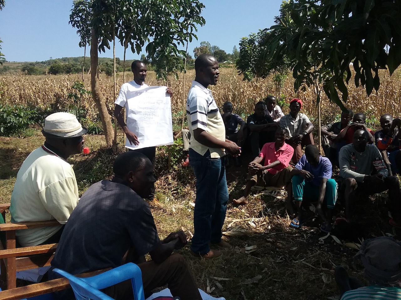
Local communities are engaged in the early planning stages to build awareness and to ensure full participation. This includes discussing restoration objectives, protection plans, and co-management principles. Community members receive trainings, participate in hands-on development of small-scale community nurseries, and assist in the monitoring process by observing tidal exchange, measuring seedling recruitment, and conducting time lapse photo monitoring. Project managers connect the community with the responsible government agency to gain their support and sign an agreement if required.
• Interest and willingness of the community; • Clear future social benefits (goods and services) for the community; • Suitable land-tenure or land-tenure that will not be a jeopardising factor; • Appropriate funding, if possible long-term financing (> 3 years).
Without strong community participation from the project’s inception, stewardship may not be achieved, putting the project at risk. Also, good collaboration between the community, the responsible government agencies and the NGO is a basis for the success of the project from inception onwards. Linking restoration objectives with local livelihoods is also important for engaging community members. One success factor critical to the planning phase is a secured land-tenure, which sometimes consumes more project time and resources than finding and securing restoration sites. Persons holding tenure of abandoned shrimp ponds usually do not want the area restored back to mangroves, as the government may take back the land title once the mangrove ecosystem is restored.
Scientific Investigation on Larval Dispersal
Apply genetic parentage analysis on a model species of reef fish to determine the probable extent of ecologically relevant larvae dispersal among reef fish populations at spatial scales relevant to MPA networks (10’s of km to a few 100 km). Analyse single nucleotide polymorphisms (SNPs) on model species of reef fish to assess differences or similarities of population structure at more distant sites to provide an indicator for the degree of connectivity across larger spatial scales (several 100’s of km).
Conditions for adoption elsewhere: • A high level of expertise to conducting the necessary scientific investigations (genetics, larval connectivity, physical oceanography) • Research and laboratory facilities • Support to conduct field work
The collaboration of leading experts (6 experts) and academic organisations (4 international academic organisations) in the field of genetics, larval connectivity, physical oceanography and ecological effects on MPAs was crucial to the successful achievement of the scientific investigation.
Participatory Development of the Act

A series of multi-stakeholder consultations and workshops to draft and review the Act ensured full stakeholder participation and fostered compliance with regulations. The Internal Rules and Regulations (IRR) of the Act has since been reviewed and updated several times and now includes policies on ecosystem research, tourism and management plan for the buffer zone. It was communicated to the public through outreach activities. Trainings and information campaigns promoted awareness and understanding of the global significance of this biodiversity hotspot.

  • National and international NGOs have provided the initial funds and technical know-how
  • Good understanding of the problems and management options already existed

The TRNP Act institutionalized the representation of a wide sector of society in the policy-making body, the Tubbataha Protected Area Management Board (TPAMB), enabling stakeholders to articulate their concerns and influence rule-making. Tubbataha has demonstrated that with sensitively negotiated stakeholder agreements local communities do not need to bear the burden of no-take protected areas, but rather, can be their main beneficiaries.

Ecosystem-based Management Science Program
In order to scientifically characterize the Seascape, the BHS coalition launched a comprehensive and interdisciplinary Ecosystem-based Management Science Program in 2004. The EBM program included 18 composite cutting edge studies across a wide range of disciplines, including ecology, physical oceanography, fisheries, environmental economics, social science, political science, and anthropology. By working across disciplines, the EBM program generated a plethora of valuable information that guided the development of the Seascape EBM strategy. Once synthesized, the results of the EBM science program provided the foundation for the design of the BHS MPA network. To ensure maximum benefits to local communities, the MPA network was designed on a scale large enough to rebuild and maintain local reef fish stocks, protect globally significant biodiversity and maintain ecosystem function and processes, while also giving strong protection to Papua’s most vulnerable communities.
• Awareness and support from government and communities • Scientific and technical leadership from NGOs and university partners, including ability to synthesize multi-disciplinary studies to support interdisciplinary planning • Financial support from a committed donor
Start flexible and think locally: Before initiating MPA development, there is a need to understand the nuances of seascape: its science, culture, governance systems, the aspirations of its citizens, and its conflicts. Once all this information is available, it can be used to further cultivate enabling conditions. The most useful study from the EBM program was an unexpected one—community tenure mapping. Results from a year-long community tenure mapping study not only gave the BHS team a deep knowledge of community dynamics and aspirations, but it also provided invaluable information on areas that could be protected with little conflict or where protection could actually help reduce existing community conflicts.
Regional Resource Document

The regional resource document (RRD) for coastal spatial planning describes management approaches in existing spatial planning systems, and outlines the application of the general spatial planning process at different scales, administrative levels and degree of complexity. References of methods, tools and information sources are provided. The user can navigate progressively through the various sequential steps, or skip to sections relevant to his needs.

Conditions for adoption elsewhere:

  • Full support and commitment from national governments and authorities of each participating country for coastal and marine spatial planning

Coastal and marine spatial planning (CMSP) is multi-sectoral and interdisciplinary and consequently requires commitment and cooperation of various ministries and authorities at different governmental levels. To bringing all stakeholders together for discussing and agreeing on related matters is a challenge that can be successfully addressed through national consultations and trainings. These measures also encourage cross-learning and team building; it enhances cooperation, coordination and dialogue between and among themselves. Continuous support and cooperation of national authorities clears the way forward.

National Assessment of coastal Vulnerability
National assessment - situation analysis - of coastal vulnerability provides a detailed overview of the states of erosion applying a standardised format agreed by all participating countries. It includes relevant policies, legal and institutional mechanisms, gaps and needs and interventions pertinent for addressing coastal erosion at national and sub-national levels. Priorities for action (pilot interventions) to be implemented by governments are defined.
Conditions for adoption elsewhere: • Awareness and recognition of the problem of coastal erosion and sea-level rise and the importance and value of national assessments to address the problem. • Full support and commitment from national governments and authorities including development partners.
Coastal erosion management involves a range of ministries and authorities at various governmental levels. Bringing them all together to discuss and agree on the assessment reports and pilot interventions is quite a challenge which was addressed by the project through national consultations. National reports assessing the national setting and the magnitude of the problem of coastal erosion will serve as a major reference in the development of new or updating of existing national plans, policies, strategies and programs on integrated coastal management at national and local levels. With identified specific capacity building activities and pilot interventions, the national reports could be integrated into a regional report which could later be used in the development of future regional programmes for coastal erosion management for regional implementation.